Pentedattilo → Bagaladi
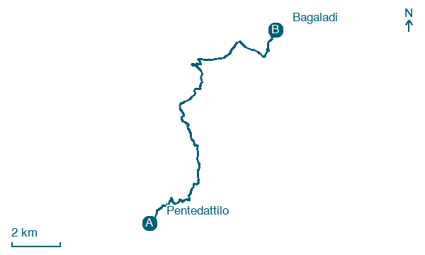
Walking distance 17.5 km
Download Appy for the stage map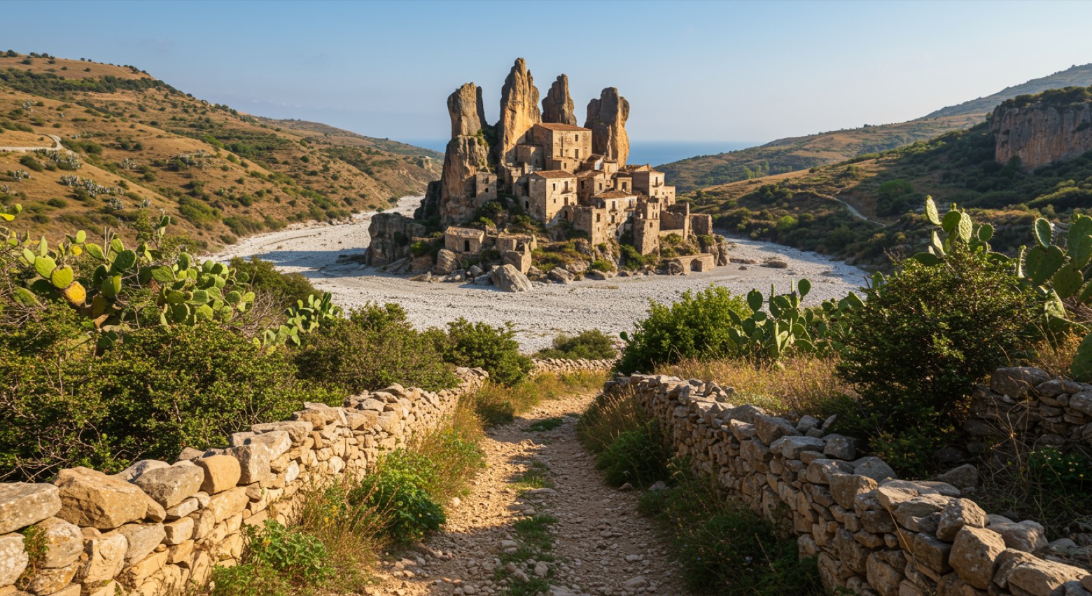
Stage information
- Ascent
- 895 m
- Descent
- 712 m
Difficulty: moderate
Walking the stage
From the dramatic ghost village of Pentedattilo, climb through olive groves into the Aspromonte foothills to Bagaladi.
Before leaving Pentedattilo, locate Chiesa dei Santi Pietro e Paolo, Pentedattilo on the map. It is close to the starting point.
Look for these places on the stage map: Musuponiti, Sant'Elena, Fossato Ionico, and Ielasi.
What to see on this stage
History and landmarks
Chiesa dei Santi Pietro e Paolo, Pentedattilo
Church · < 100 m from the trail as the crow flies
Nature and landscape
Olmo campestre di Piazza Regina Margherita, San Lorenzo
Monumental tree · 1.5 km from the trail as the crow flies
Italy’s monumental tree register identifies this specimen as Ulmus minor Mill. It records a height of 10 m and a trunk circumference of 510 cm.
Map · Pentedattilo → Bagaladi
Take your walk with you: download Appy
Sentiero dell'Inglese: Pentedattilo → Bagaladi. Explore maps, stages and elevation in the app, and plan your train or bus journey.

