Nuraghe Appiu → Bosa Marina
Walking distance 31.5 km
Download Appy for the stage map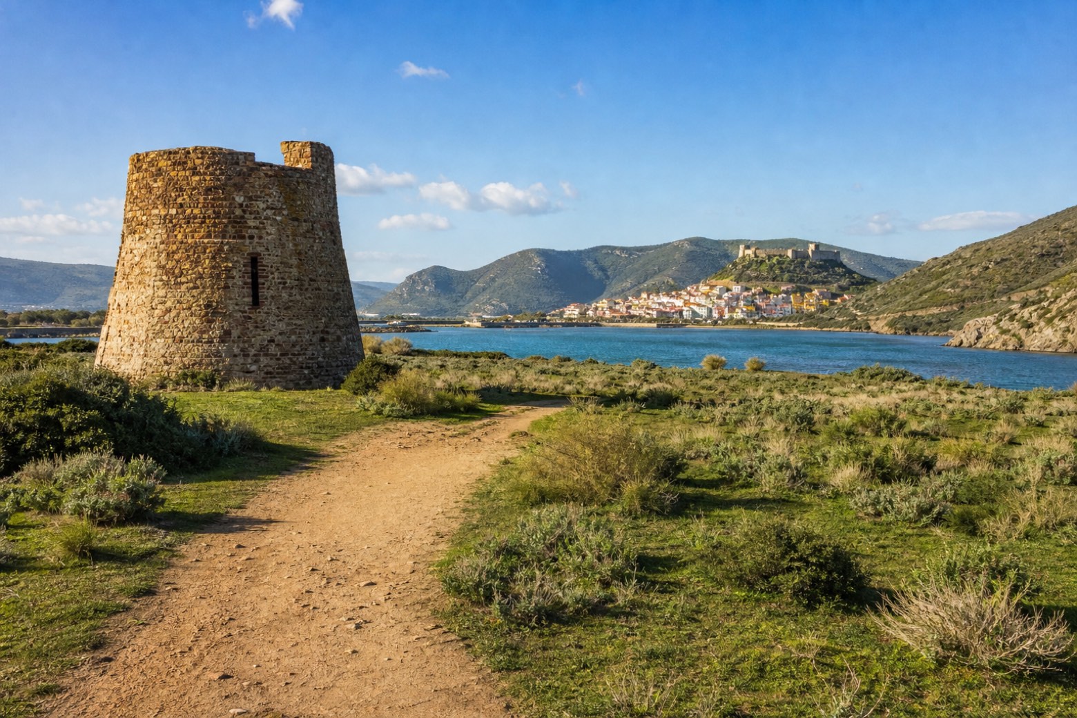
Stage information
- Ascent
- 323 m
- Descent
- 754 m
Difficulty: challenging
Walking the stage
Dirt track crosses open country to Torre Argentina on the approach to Bosa, with the castle of Serravalle standing on its hill above the town and the river Temo, about 7 km off. At about 31 km this is the longest stage of the via, and lodging is scarce along the whole stretch from Alghero to Bosa.
Before leaving Nuraghe Appiu, locate Nuraghe Appiu on the map. It is close to the starting point.
Look for these places on the stage map: Bosa.
What to see on this stage
History and landmarks
Torre Argentina
Tower · < 100 m from the trail as the crow flies
Nuraghe Appiu
Archaeological site · 400 m from the trail as the crow flies
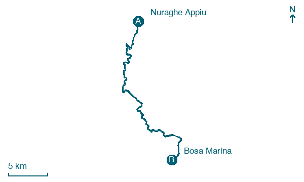
Map · Nuraghe Appiu → Bosa Marina
Take your walk with you: download Appy
Cammino 100 Torri: Via Catalana: Nuraghe Appiu → Bosa Marina. Explore maps, stages and elevation in the app, and plan your train or bus journey.

