Torre delle Saline → Stintino
Walking distance 15.4 km
Download Appy for the stage map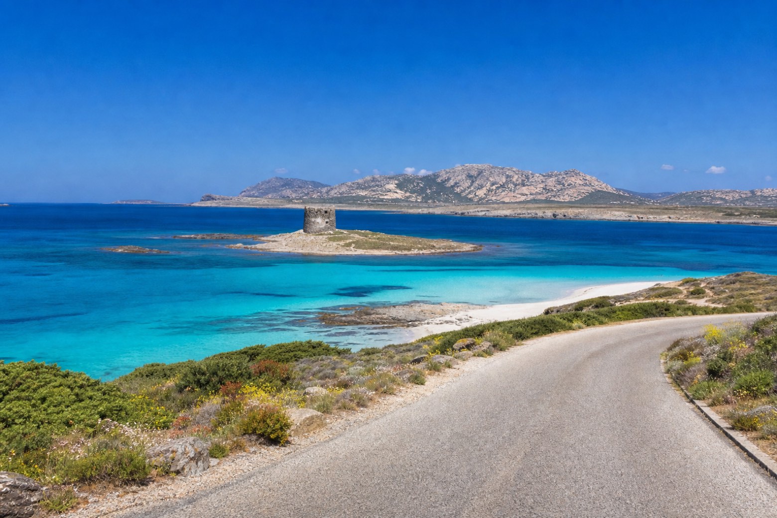
Stage information
- Ascent
- 226 m
- Descent
- 200 m
Difficulty: easy
Walking the stage
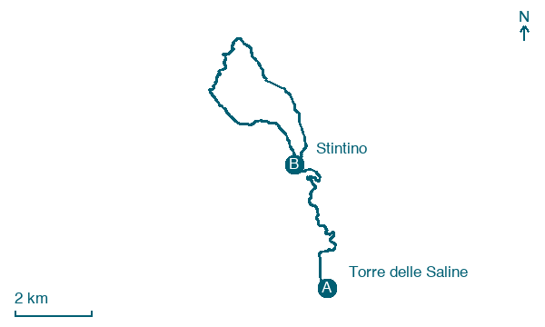
Paved road and sand lead out around Capo Falcone and back, passing Torre della Pelosa on its rock islet off the pale La Pelosa beach, with the Isola Piana and the Isola dell'Asinara just offshore. The line loops out to the cape and returns past Stintino before the stage ends in the fishing town.
Before leaving Torre delle Saline, locate Torre delle Saline on the map. It is close to the starting point.
Look for these places on the stage map: Pischina Salidda.
What to see on this stage
History and landmarks
Torre delle Saline
Tower · < 100 m from the trail as the crow flies
Torre della Pelosa
Tower · 300 m from the trail as the crow flies
Map · Torre delle Saline → Stintino
Take your walk with you: download Appy
Cammino 100 Torri: Via Catalana: Torre delle Saline → Stintino. Explore maps, stages and elevation in the app, and plan your train or bus journey.

