Porticciolo → Maristella
Walking distance 24.3 km
Download Appy for the stage map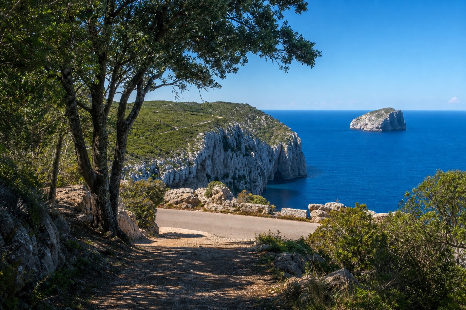
Stage information
- Ascent
- 240 m
- Descent
- 241 m
Difficulty: moderate
Walking the stage
The path threads the forest of Le Prigionette before reaching Capo Caccia, the limestone headland where the Grotte di Nettuno sea caves lie 656 steps below on the Escala del Cabirol, with the Isola Foradada just offshore. Road then leads on to Maristella.
Look for these places on the stage map: Tramariglio and Pischina Salida.
What to see on this stage
History and landmarks
Torre del Port del Comte
Tower · 1.2 km from the trail as the crow flies
Nature and landscape
Neptune's Grotto
400 m from the trail as the crow flies
Cap de Caça
700 m from the trail as the crow flies
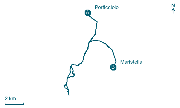
Map · Porticciolo → Maristella
Take your walk with you: download Appy
Cammino 100 Torri: Via Catalana: Porticciolo → Maristella. Explore maps, stages and elevation in the app, and plan your train or bus journey.

