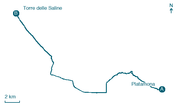
Platamona → Torre delle Saline
Walking distance 29.7 km
Download Appy for the stage map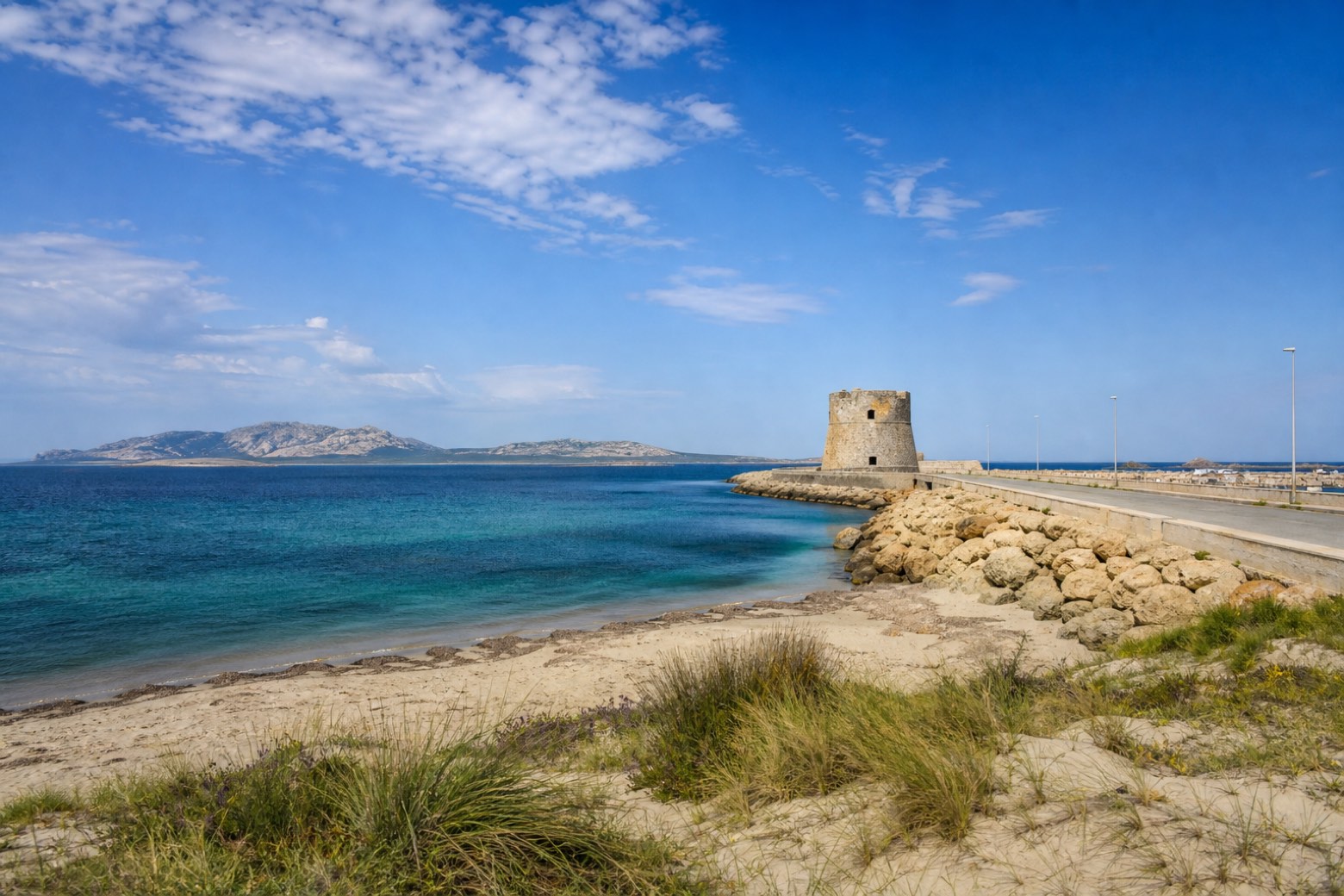
Stage information
- Ascent
- 72 m
- Descent
- 67 m
Difficulty: challenging
Walking the stage
The via crosses the harbour town of Porto Torres, passing Torre del Porto at the water's edge, then follows beach sand and industrial coast road toward the Stintino peninsula. The stage ends at Torre delle Saline, a tower rather than a village, so lodging here is not confirmed.
Look for these places on the stage map: Regione Li Pidriazzi I, Posthudorra/Porto Torres, Nodigheddu, and Pischina Salidda.
What to see on this stage
History and landmarks
Torre del Porto
Tower · < 100 m from the trail as the crow flies
14th-century tower, in Porto Torres, Italy, designated as Italian national heritage.
Archaeological Area of Turris Libisonis
Archaeological site · 100 m from the trail as the crow flies
The ruins of a Roman colony, centred on the Central Baths, the Terme Pallottino with their hot-air ducts and mosaic fragments, and the Domus di Orfeo, a patrician house of the second and third century with painted plaster and mosaics.
Map · Platamona → Torre delle Saline
Take your walk with you: download Appy
Cammino 100 Torri: Via Catalana: Platamona → Torre delle Saline. Explore maps, stages and elevation in the app, and plan your train or bus journey.

