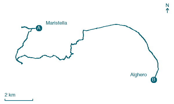
Maristella → Alghero
Walking distance 21.2 km
Download Appy for the stage map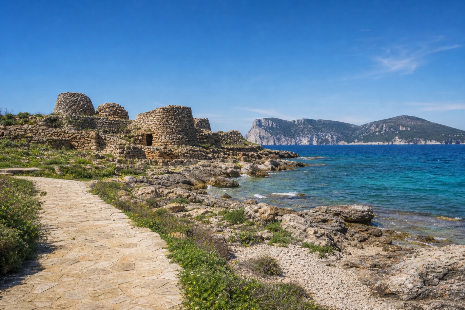
Stage information
- Ascent
- 177 m
- Descent
- 175 m
Difficulty: moderate
Walking the stage
Coast paths and the Fertilia seafront lead past the Complesso nuragico di Palmavera, a nuragic village of round stone huts around its tower, with Capo Caccia visible back across the Porto Conte bay, about 8 km. The stage ends in Alghero.
Look for these places on the stage map: Lazzaretto, Le Bombarde, and Fertilia.
What to see on this stage
History and landmarks
Torre del Port del Comte
Tower · < 100 m from the trail as the crow flies
Map · Maristella → Alghero
Take your walk with you: download Appy
Cammino 100 Torri: Via Catalana: Maristella → Alghero. Explore maps, stages and elevation in the app, and plan your train or bus journey.

