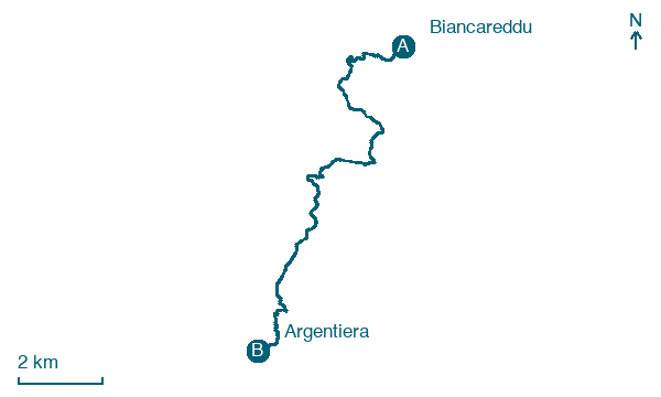
Biancareddu → Argentiera
Walking distance 13.3 km
Download Appy for the stage map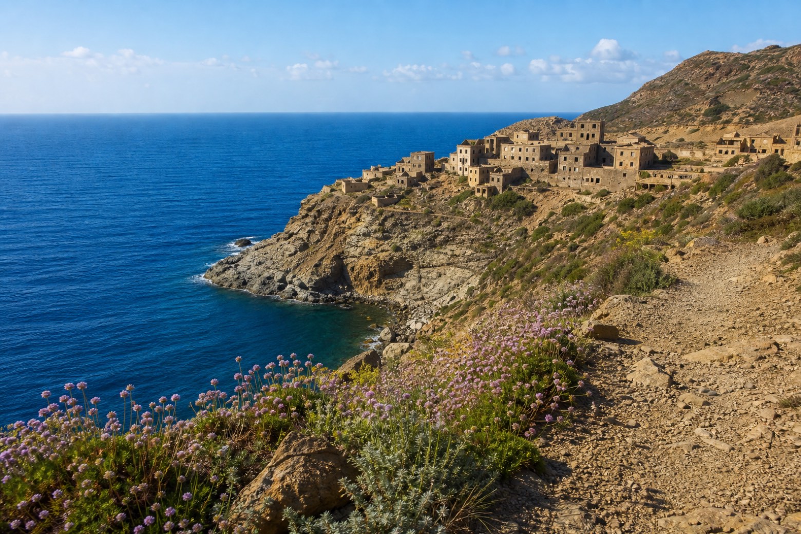
Stage information
- Ascent
- 227 m
- Descent
- 324 m
Difficulty: easy
Walking the stage
A short day on a stony cliff-top track leads south from Biancareddu to Argentiera, the abandoned silver-mining village standing above the open sea. Its old ore-processing buildings and rows of former miners' housing look out over the water from the cliff edge, quiet since mining ended here.
On arrival in Argentiera, consider a stop at Miniera dell'Argentiera, close to the finish.
Look for these places on the stage map: La Pedraia, La Muntagna, and La Lacuna.
What to see on this stage
History and landmarks
Miniera dell'Argentiera
300 m from the trail as the crow flies
Map · Biancareddu → Argentiera
Take your walk with you: download Appy
Cammino 100 Torri: Via Catalana: Biancareddu → Argentiera. Explore maps, stages and elevation in the app, and plan your train or bus journey.

