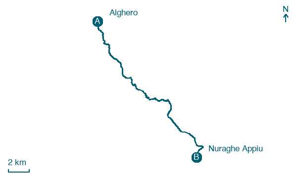
Alghero → Nuraghe Appiu
Walking distance 21.9 km
Download Appy for the stage map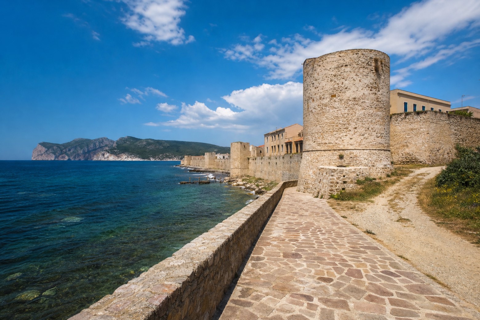
Stage information
- Ascent
- 647 m
- Descent
- 199 m
Difficulty: moderate
Walking the stage
The line leaves Alghero along its Catalan-Aragonese sea walls and bastions, the towers that give this via its name, then climbs inland on coast road and dirt track. It ends at Nuraghe Appiu, a monument in open country rather than a village, so lodging here is not confirmed.
On arrival in Nuraghe Appiu, consider a stop at Nuraghe Appiu, close to the finish.
What to see on this stage
History and landmarks
Nuraghe Appiu
Archaeological site · 400 m from the trail as the crow flies
Map · Alghero → Nuraghe Appiu
Take your walk with you: download Appy
Cammino 100 Torri: Via Catalana: Alghero → Nuraghe Appiu. Explore maps, stages and elevation in the app, and plan your train or bus journey.

