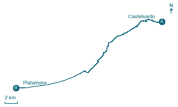
Castelsardo → Platamona
Walking distance 29.8 km
Download Appy for the stage map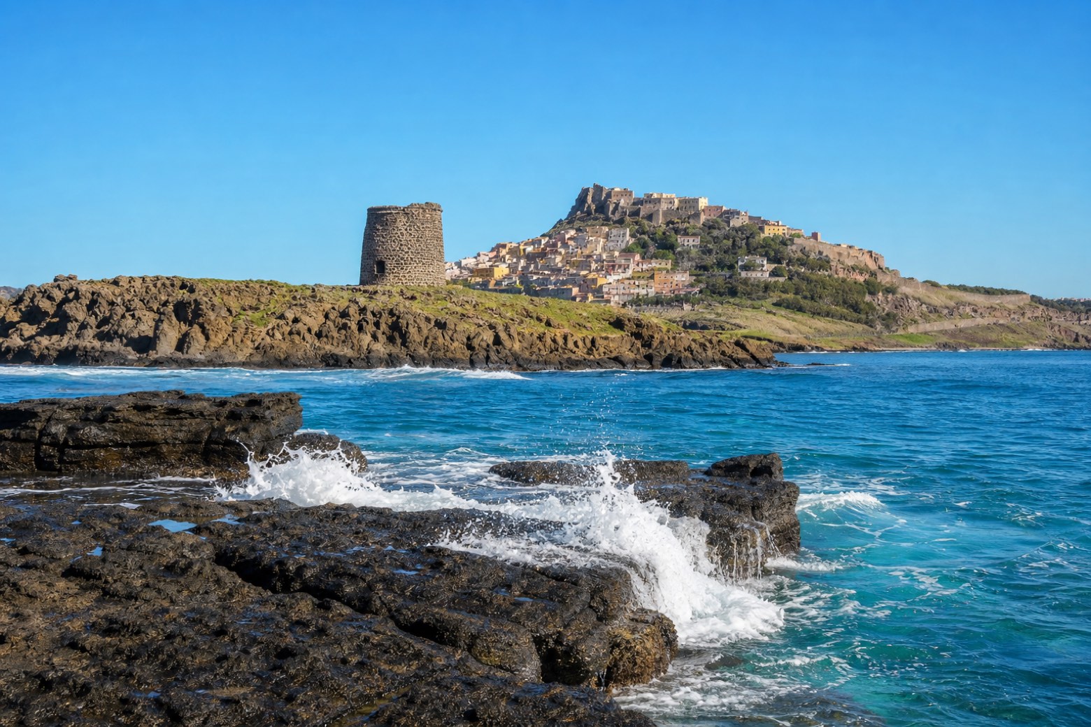
Stage information
- Ascent
- 89 m
- Descent
- 188 m
Difficulty: challenging
Walking the stage
From Castelsardo the path leaves the old town on its promontory and follows the rocky trachyte shore past Torre di Frigiano, a round watch tower on the point below. The line then turns onto sand for the long final stretch to the beach village of Platamona. At about 30 km, this is one of the via's longer days.
Look for these places on the stage map: Lu Bagnu, Tonnara, Eden Beach, and Serralonga.
Map · Castelsardo → Platamona
Take your walk with you: download Appy
Cammino 100 Torri: Via Catalana: Castelsardo → Platamona. Explore maps, stages and elevation in the app, and plan your train or bus journey.

