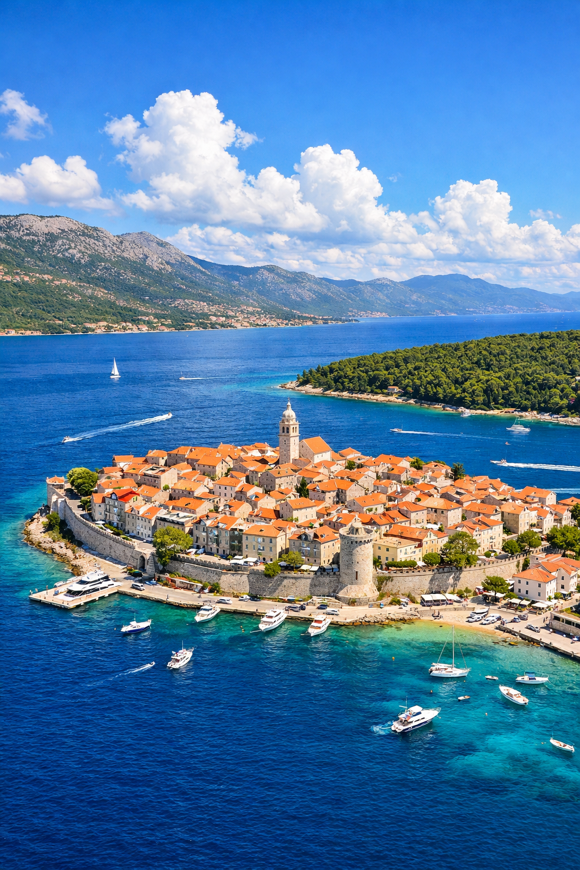
Camino Korčula
Dubrovačko-neretvanska, Croatia
Croatia · Korčula, Croatia → Korčula, Croatia
Distance
157 km
Stages
7
Difficulty
moderate
Best months
Apr-Jun, Sep-Oct
About
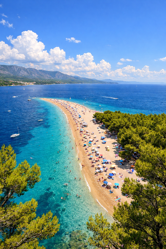
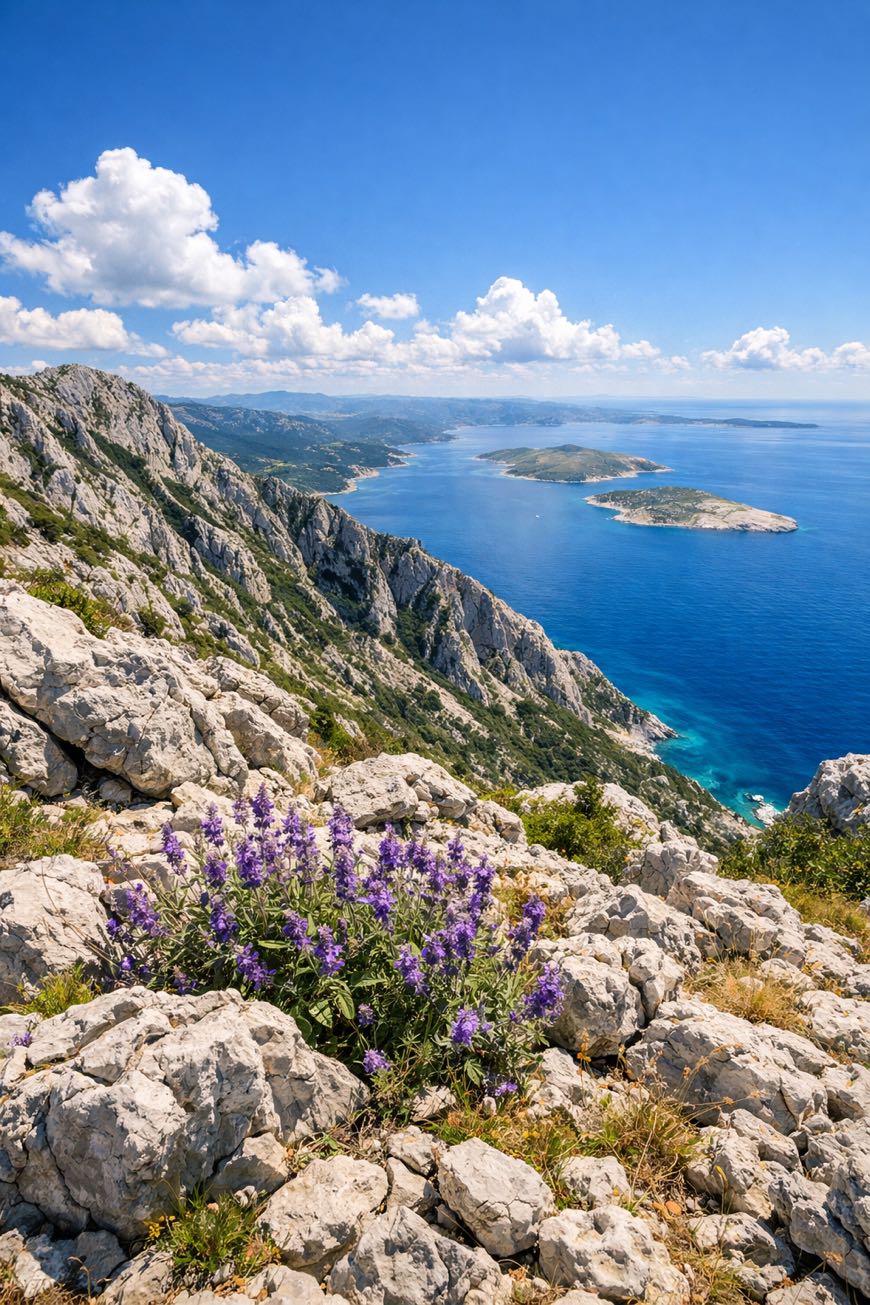
A 160 km circular journey on Korčula Island, where olive groves meet coastal trails. Seven stages, 2262 metres of elevation gain, and the scent of saltwater in the air.
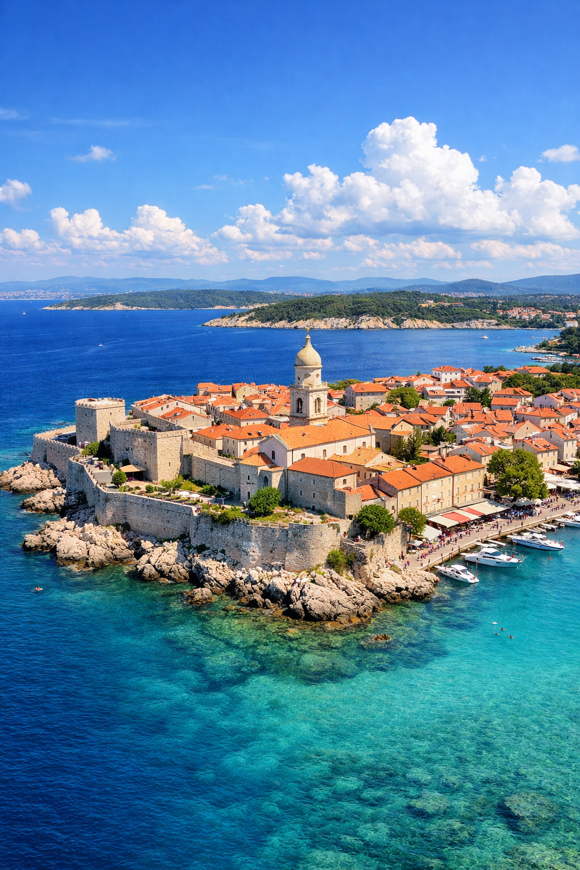
You start and end in the historic town of Korčula, Marco Polo's birthplace, with its medieval charm. Vela Luka's vibrant fishing culture and Lumbarda's sandy beaches beckon.
This route reveals Dalmatia's soul: local wine, ancient churches, and whispers of Greek settlements. Best from April to June or September to October, it’s a modern walk through history, perfect for those seeking clarity.
Stages
7 stages
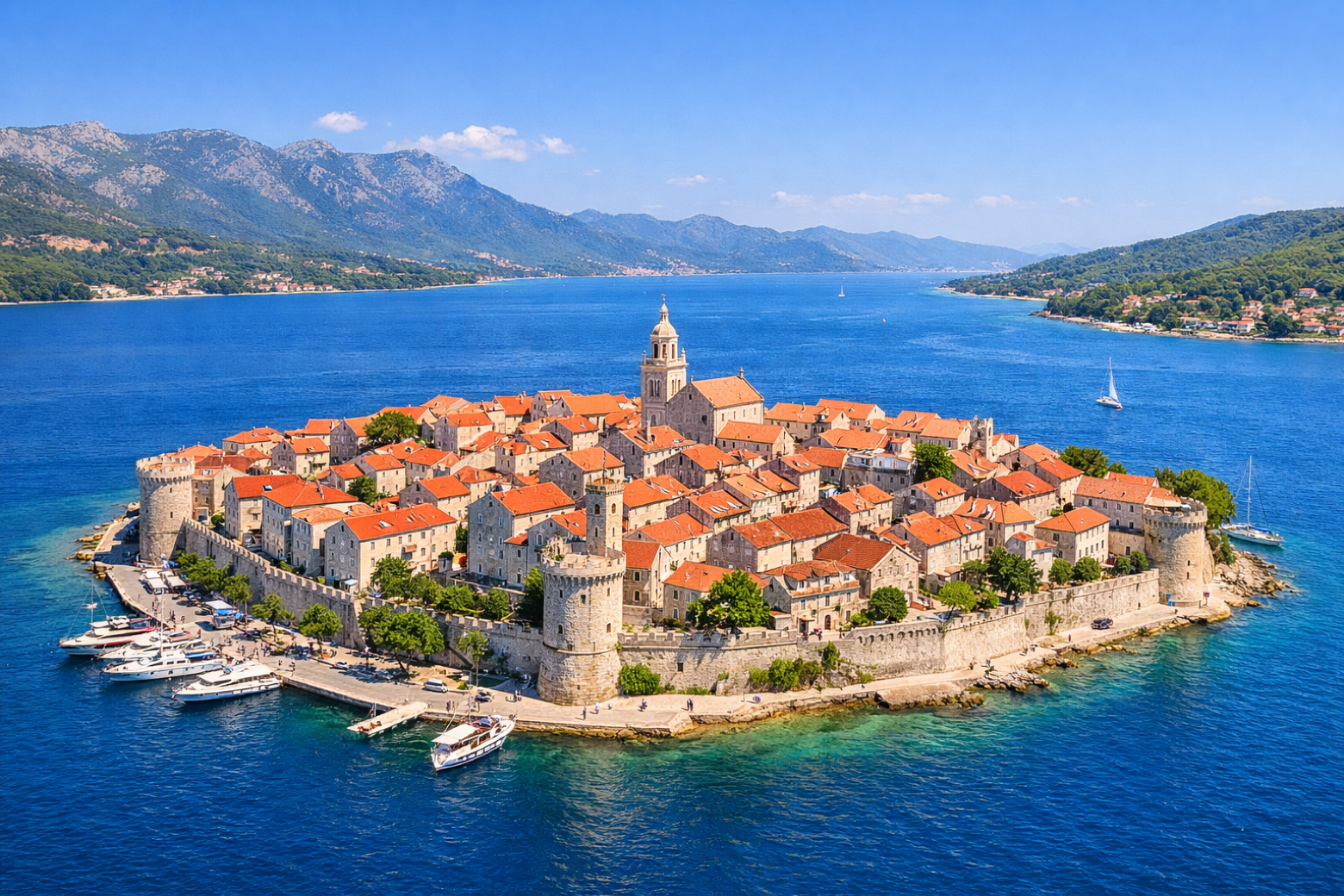 Stage 1
Korčula → Žrnovo
moderateDistance22 kmAscent414 mDescent108 m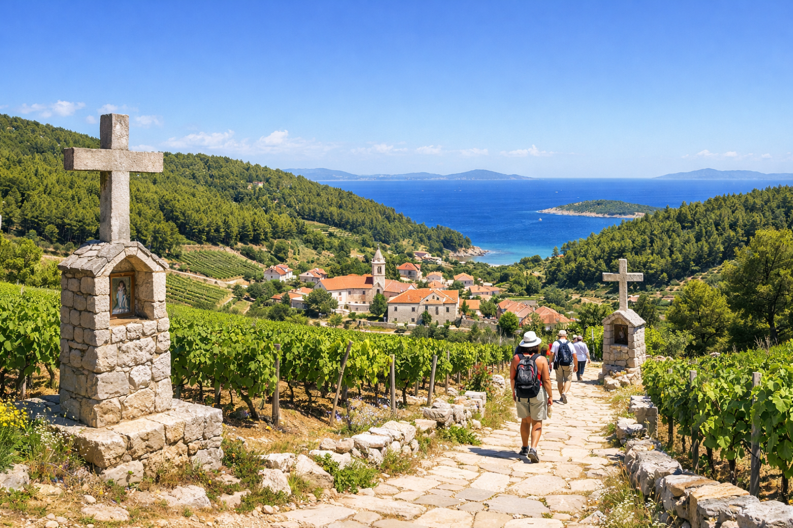 Stage 2
Žrnovo → Čara
moderateDistance22 kmAscent250 mDescent554 m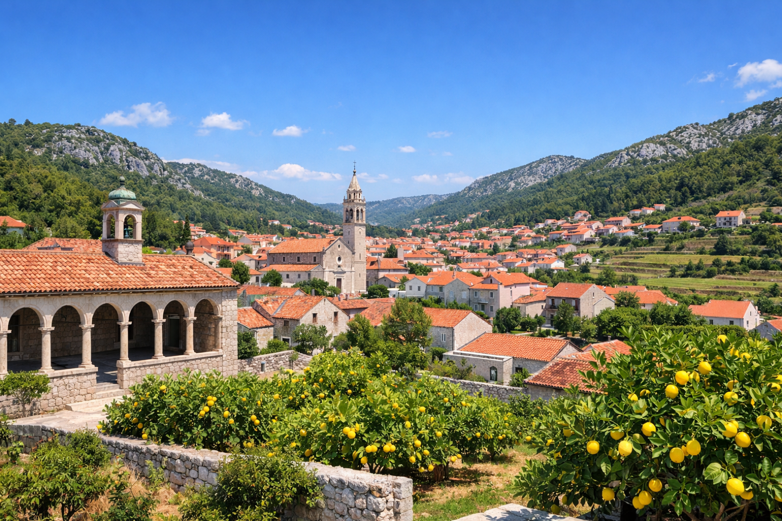 Stage 3
Čara → Blato
moderateDistance22 kmAscent351 mDescent368 m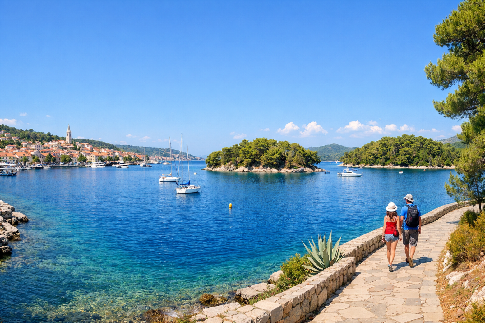 Stage 4
Blato → Vela Luka
moderateDistance22 kmAscent670 mDescent386 m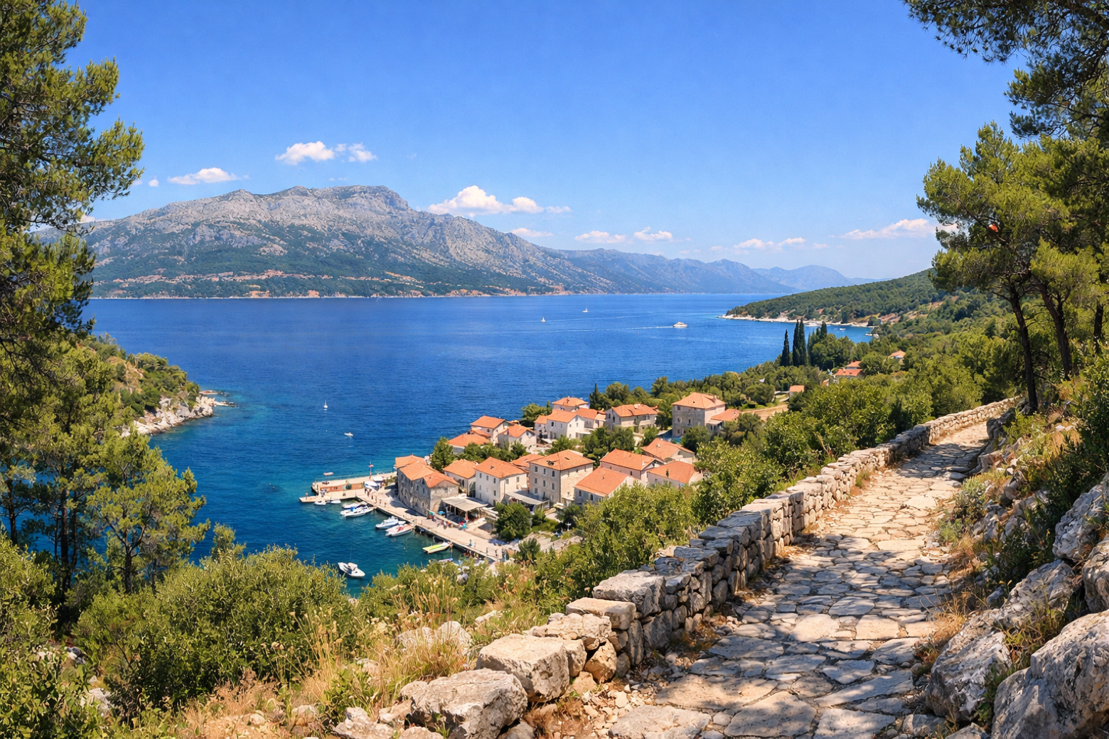 Stage 5
Vela Luka → Račišće
moderateDistance22 kmAscent270 mDescent516 m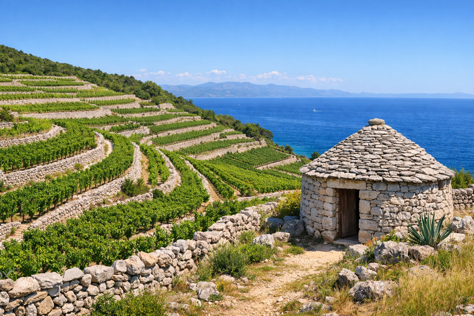 Stage 6
Račišće → Čara
moderateDistance22 kmAscent140 mDescent161 m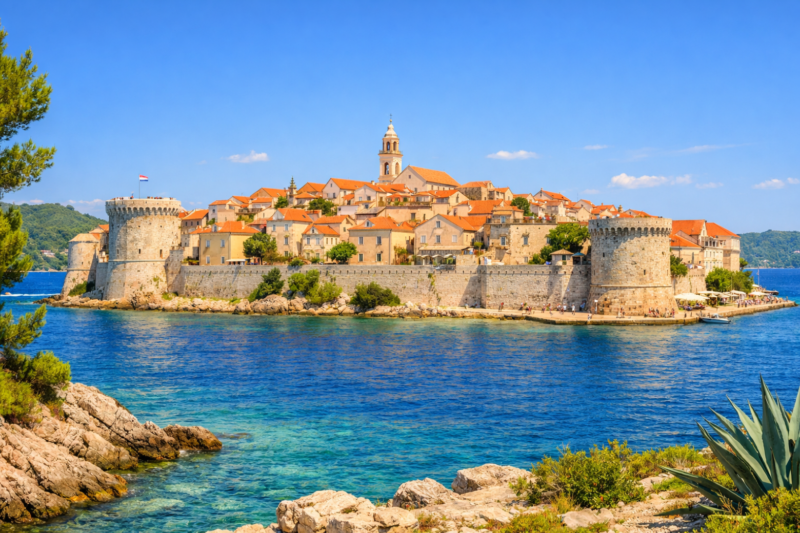 Stage 7
Čara → Korčula
moderateDistance22 kmAscent167 mDescent175 m
Travel
Find connections for your cammino.
Search trainsMore walks in Croatia
Plan your walking trip
How to choose a walking route: stages, days and ascent
Choose a walking route by comparing daily stages, available days, ascent and transport links. Practical planning with examples from the Appy catalogue.
How to plan a walking trip by train and bus
Plan travel to and from your walk: stage endpoints, stations, stops and the connection to the trail. A practical guide to routes and transport with Appy.
Take your walk with you: download Appy
Camino Korčula. Explore maps, stages and elevation in the app, and plan your train or bus journey.