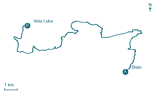
Blato → Vela Luka
Walking distance 22.4 km
Download Appy for the stage map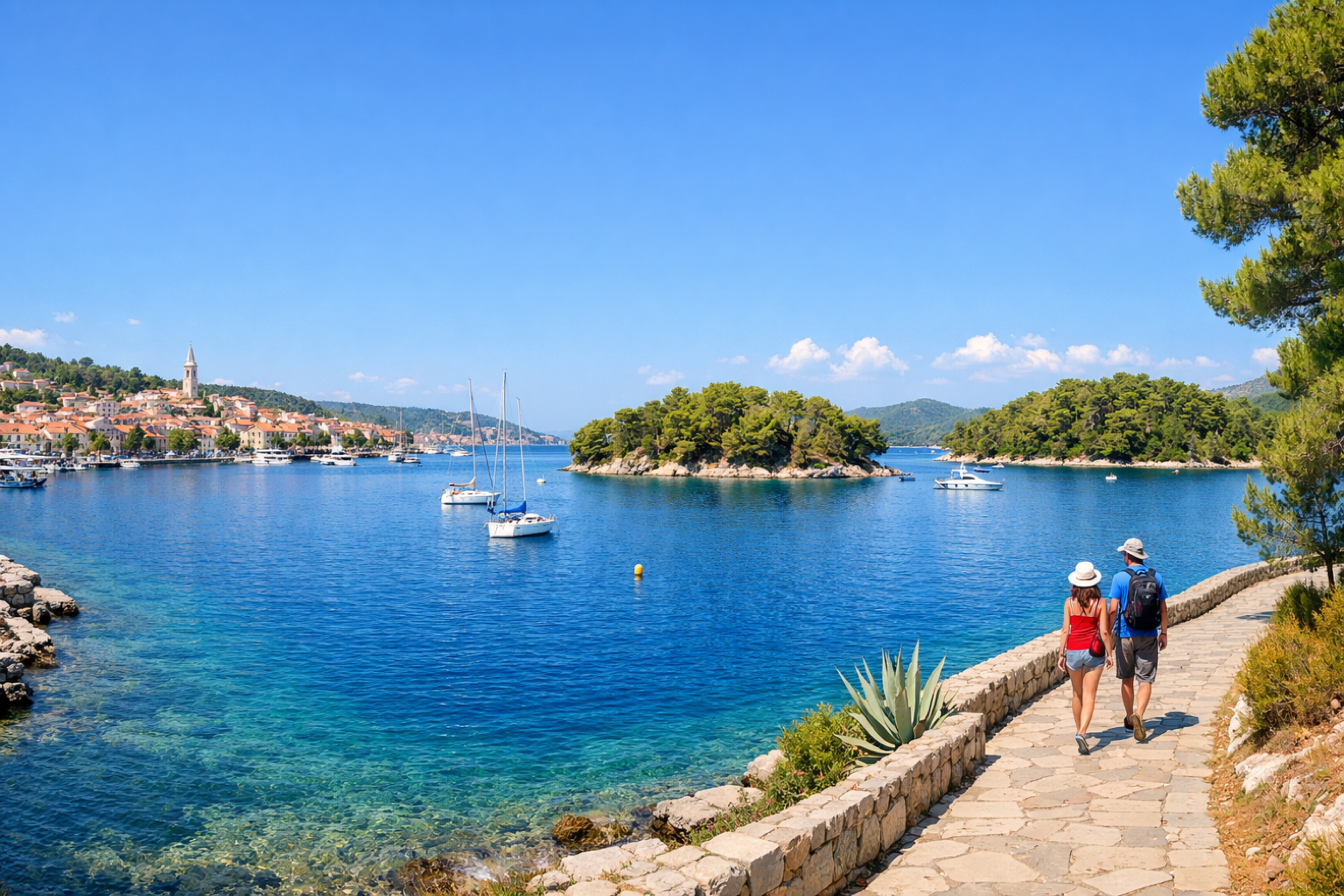
Stage information
- Ascent
- 670 m
- Descent
- 386 m
Difficulty: moderate
Walking the stage
Descend from Blato to the spectacular natural harbour of Vela Luka, Korčula's westernmost town, cradled by pine-covered islets and known for its Neolithic cave finds and traditional klapa music.
On arrival in Vela Luka, consider a stop at Hum, close to the finish.
Look for these places on the stage map: Karbuni and Potirna.
What to see on this stage
History and landmarks
Potirna
500 m from the trail as the crow flies
Prižba
1.3 km from the trail as the crow flies
Nature and landscape
Hum
600 m from the trail as the crow flies
Brdo od Ravanca
< 100 m from the trail as the crow flies
Map · Blato → Vela Luka
Take your walk with you: download Appy
Camino Korčula: Blato → Vela Luka. Explore maps, stages and elevation in the app, and plan your train or bus journey.

