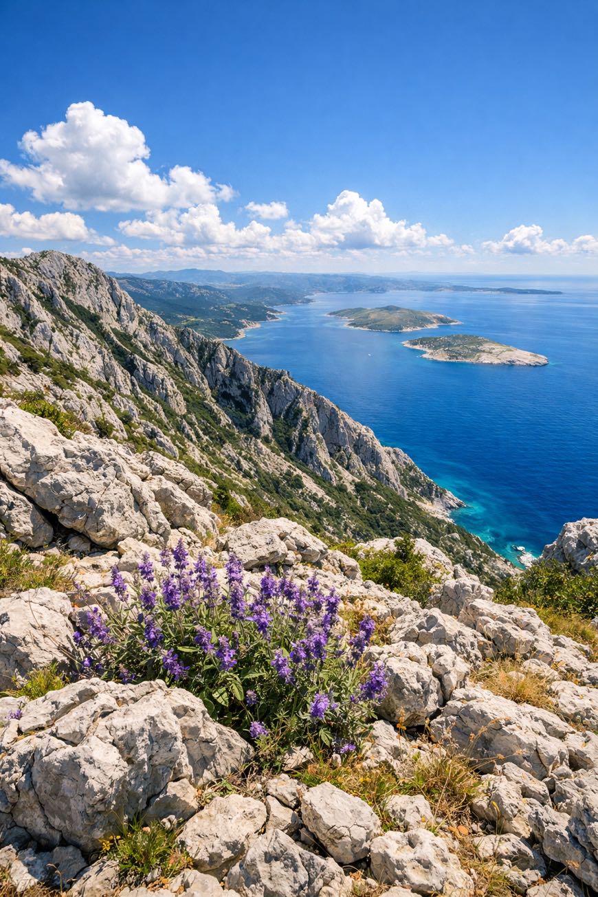
Velebitski Planinarski Put
Licko-Senjska, Croatia
Croatia · Zavižan, Croatia → Starigrad Paklenica, Croatia
Distance
132 km
Stages
9
Difficulty
moderate
Best months
Apr-Jun, Sep-Oct
About
A hundred kilometers of Croatian wildness. From Zavižan’s cool pines to Starigrad Paklenica’s sun-soaked cliffs, the Velebitski Planinarski Put unfolds over nine stages, each revealing a new facet of Velebit Mountain.
Elevation gain? 3,858 meters.
Expect rocky trails, dense forests, and the scent of wild rosemary. Along the way, you’ll pass Lubenovac and Prpić, where history whispers through the trees.
Ideal for newcomers, it’s a week of discovery, accessible year-round, with spring and autumn offering the best weather. Adventure awaits.
Stages
9 stages
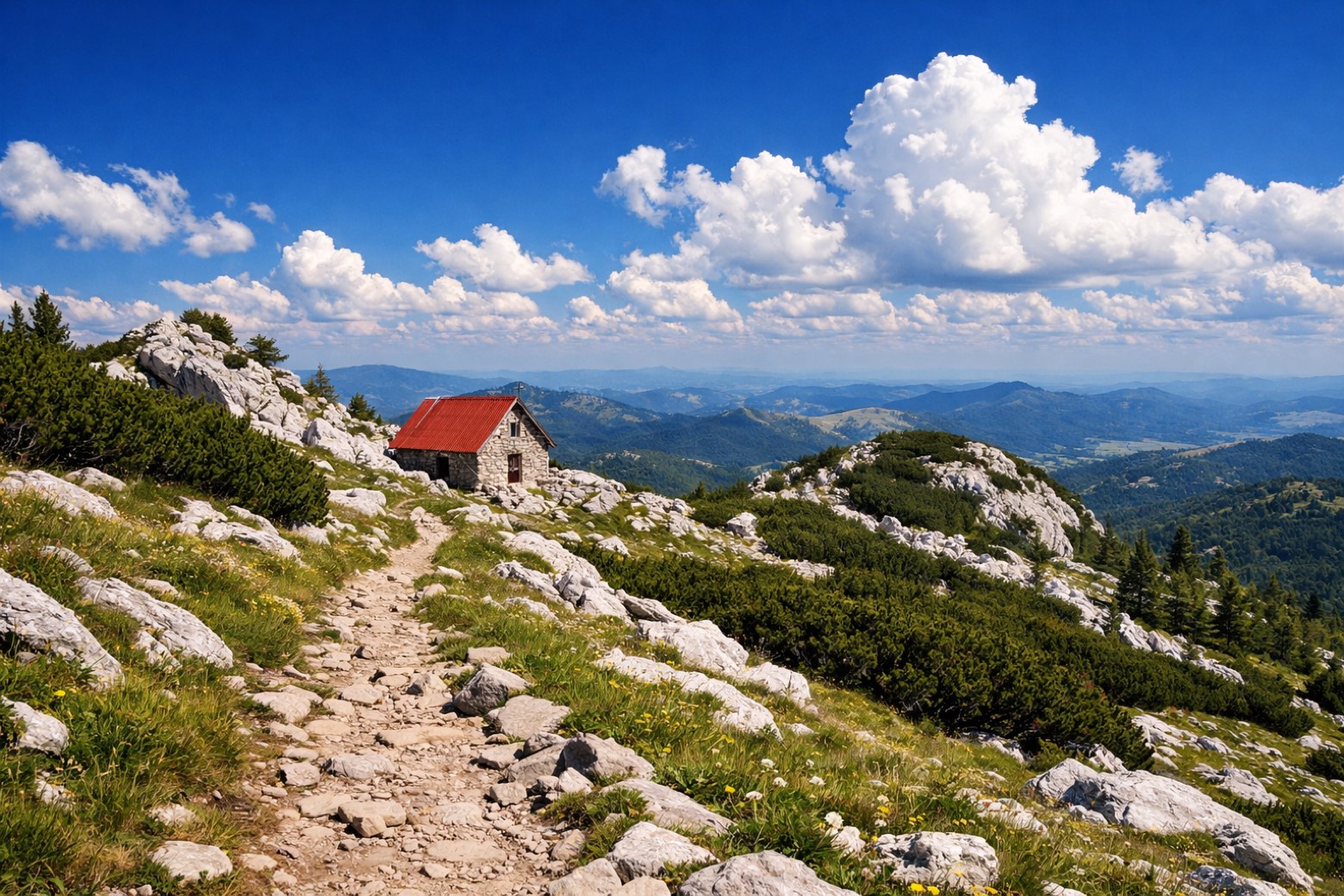 Stage 1
Zavižan → Rossijevo sklonište
moderateDistance8 kmAscent447 mDescent330 m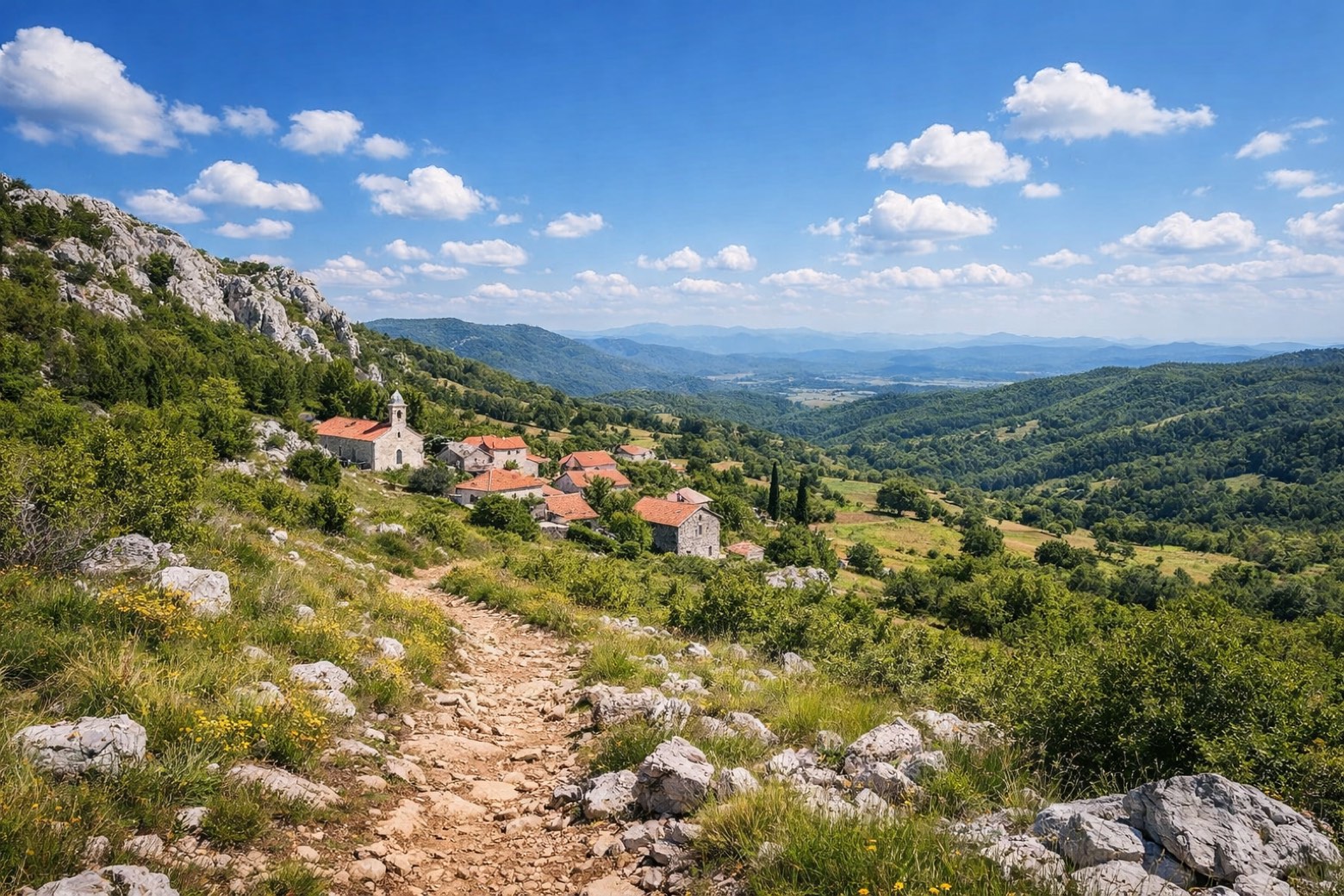 Stage 2
Rossijevo → Alan
moderateDistance8 kmAscent441 mDescent520 m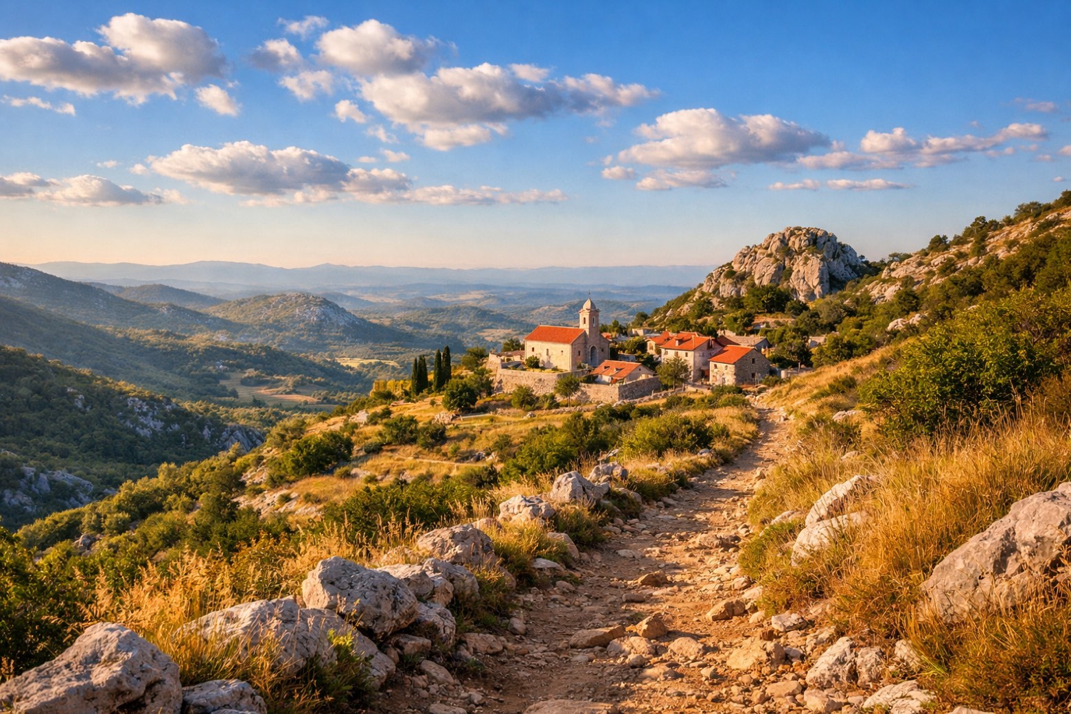 Stage 3
Alan → Ograđenica
moderateDistance11 kmAscent438 mDescent537 m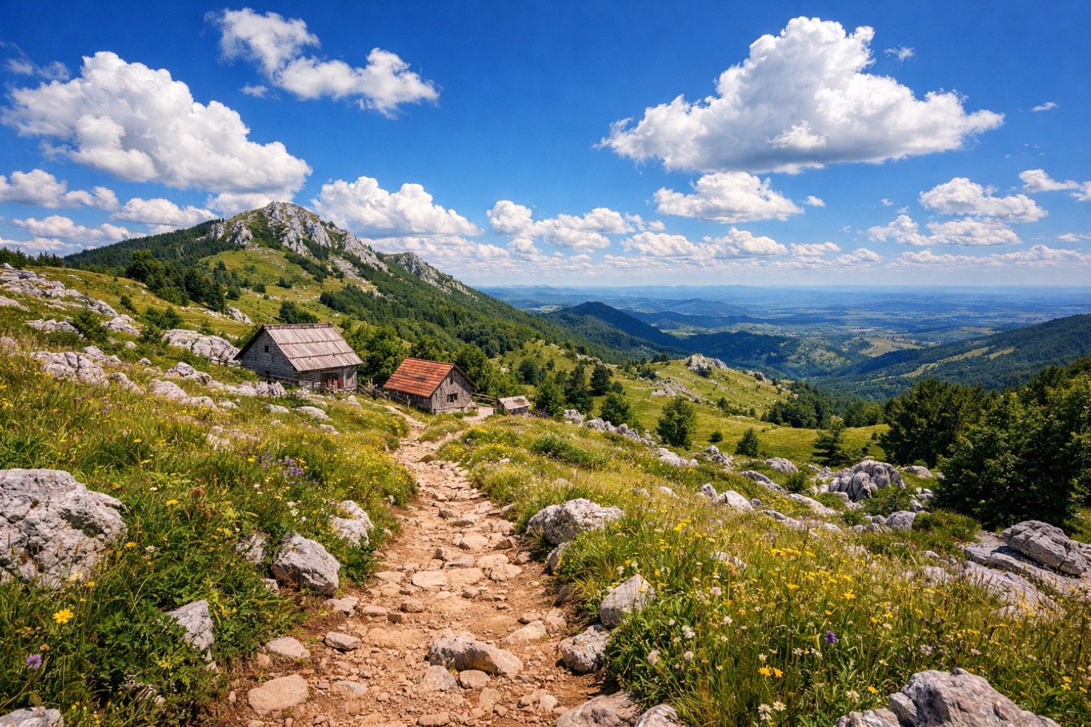 Stage 4
Ograđenica → Šatorina
moderateDistance3 kmAscent296 mDescent1432 m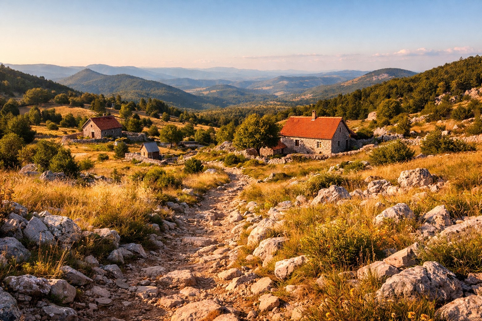 Stage 5
Šatorina → Skorpovac
moderateDistance11 kmAscent333 mDescent389 m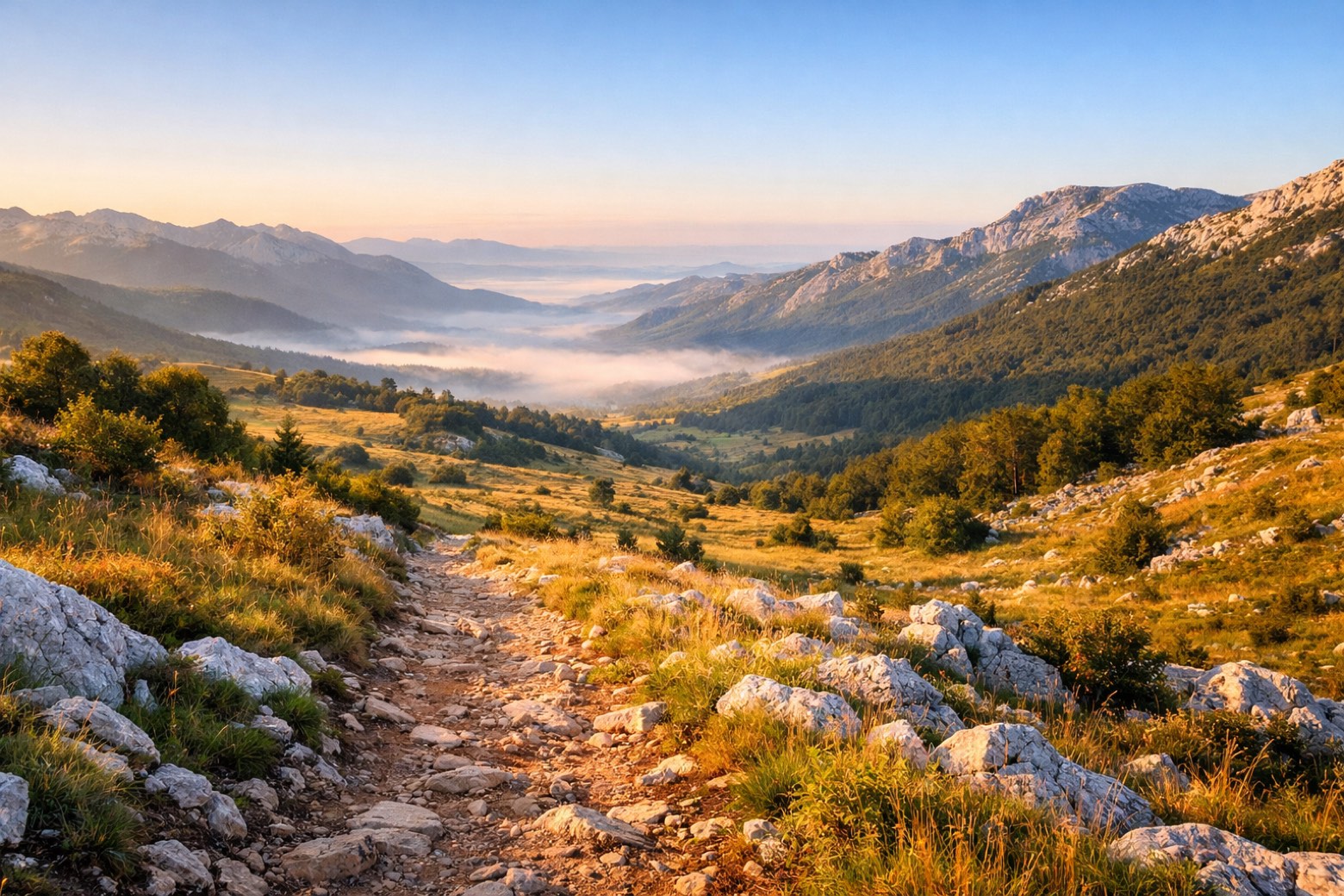 Stage 6
Skorpovac → Baške Oštarije
moderateDistance19 kmAscent455 mDescent457 m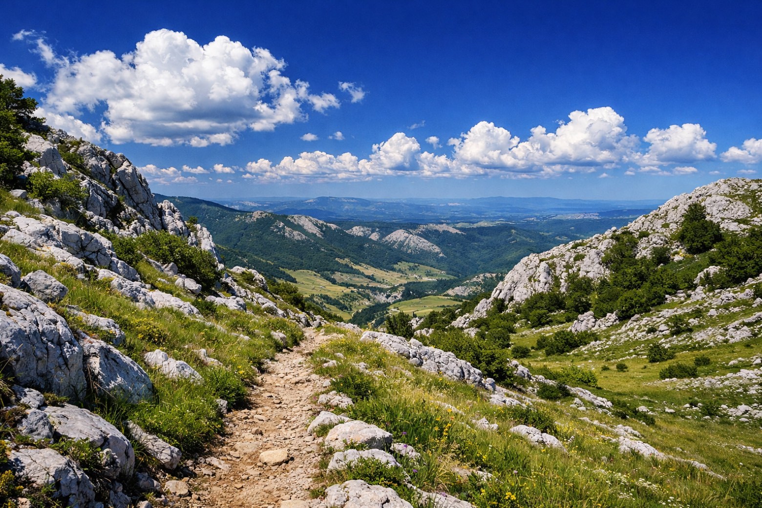 Stage 7
Baške Oštarije → Struge
moderateDistance43 kmAscent555 mDescent293 m- Stage 8
Struge → Paklenica hut
moderateDistance21 kmAscent788 mDescent436 m 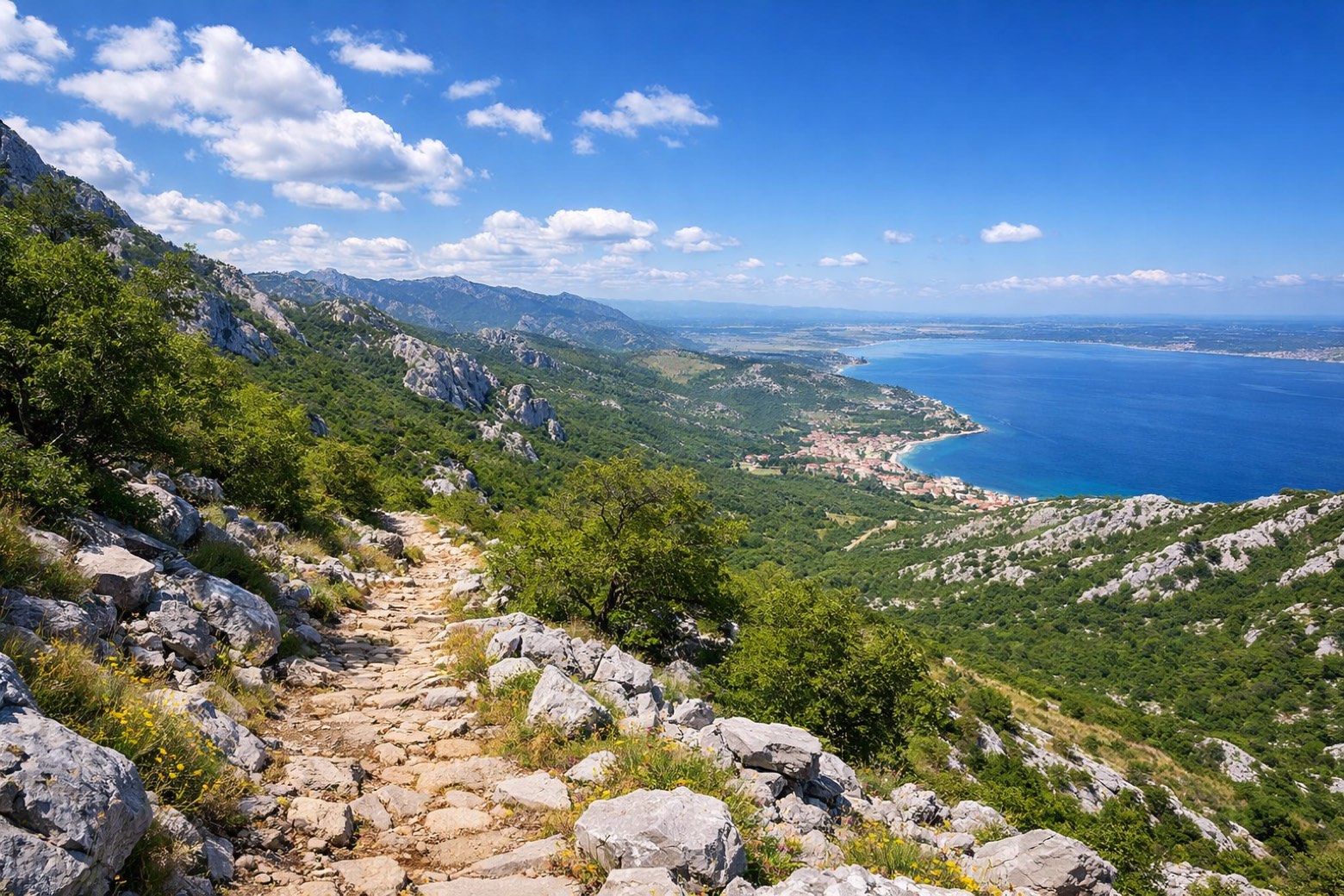 Stage 9Distance9 kmAscent105 mDescent748 m
Points of interest
- Vučjak
- Mali Rajinac
- Veliki Zavižan
Veliki Zavižan. Peak, in Senj, Croatia, at 1,676 m elevation.
- Robinac
- Zavizanska kosa
- Kapljuv
- Anića kuk
Anića kuk. Peak, in Starigrad, Croatia, at 712 m elevation.
- Veliki Vitrenik
Veliki Vitrenik. Peak, in Starigrad, Croatia, at 432 m elevation.
Travel
Find connections for your cammino.
Search trainsMore walks in Croatia
Plan your walking trip
How to choose a walking route: stages, days and ascent
Choose a walking route by comparing daily stages, available days, ascent and transport links. Practical planning with examples from the Appy catalogue.
How to plan a walking trip by train and bus
Plan travel to and from your walk: stage endpoints, stations, stops and the connection to the trail. A practical guide to routes and transport with Appy.
Take your walk with you: download Appy
Velebitski Planinarski Put. Explore maps, stages and elevation in the app, and plan your train or bus journey.