Korčula → Žrnovo
Walking distance 22.4 km
Download Appy for the stage map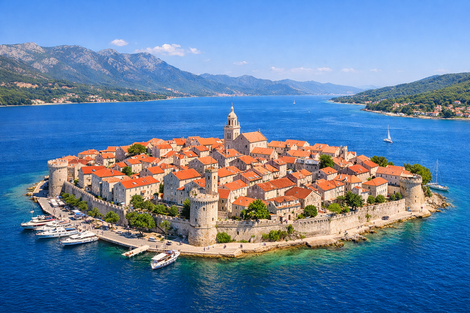
Stage information
- Ascent
- 414 m
- Descent
- 108 m
Difficulty: moderate
Walking the stage
Depart the stunning medieval walled city of Korčula, claimed birthplace of Marco Polo, and head west along the island's south coast ridge through dry-stone terraces and ancient olive groves to the hilltop village of Žrnovo.
Before leaving Korčula, locate Korčula Cathedral on the map. It is close to the starting point.
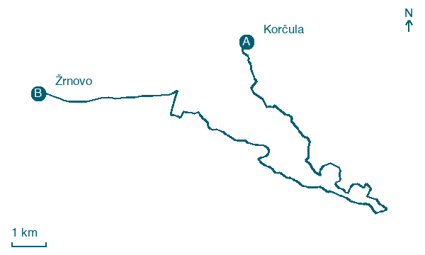
Look for these places on the stage map: Soline, Lumbarda, Kampuš, and Brdo.
What to see on this stage
History and landmarks
Korčula Cathedral
Church · < 100 m from the trail as the crow flies
Medvinjak
1,000 m from the trail as the crow flies
Map · Korčula → Žrnovo
Take your walk with you: download Appy
Camino Korčula: Korčula → Žrnovo. Explore maps, stages and elevation in the app, and plan your train or bus journey.

