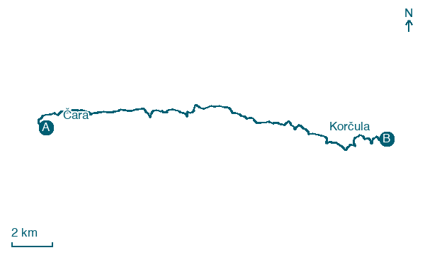
Čara → Korčula
Walking distance 22.4 km
Download Appy for the stage map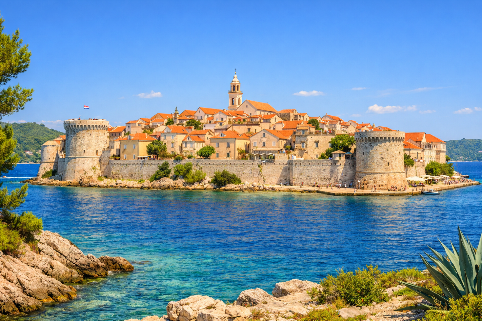
Stage information
- Ascent
- 167 m
- Descent
- 175 m
Difficulty: moderate
Walking the stage
Complete the island circuit with a final descent from the eastern hills back to the cathedral city of Korčula, closing the loop at the city walls with their famous towers overlooking the Adriatic.
On arrival in Korčula, consider a stop at Korčula Cathedral, close to the finish.
Look for these places on the stage map: Račišće, Piske, Žrnovska Banja, and Medvinjak.
What to see on this stage
History and landmarks
Korčula Cathedral
Church · < 100 m from the trail as the crow flies
Medvinjak
< 100 m from the trail as the crow flies
Nature and landscape
Hlapje
700 m from the trail as the crow flies
Velo brdo
1.1 km from the trail as the crow flies
Map · Čara → Korčula
Take your walk with you: download Appy
Camino Korčula: Čara → Korčula. Explore maps, stages and elevation in the app, and plan your train or bus journey.

