Žrnovo → Čara
Walking distance 22.4 km
Download Appy for the stage map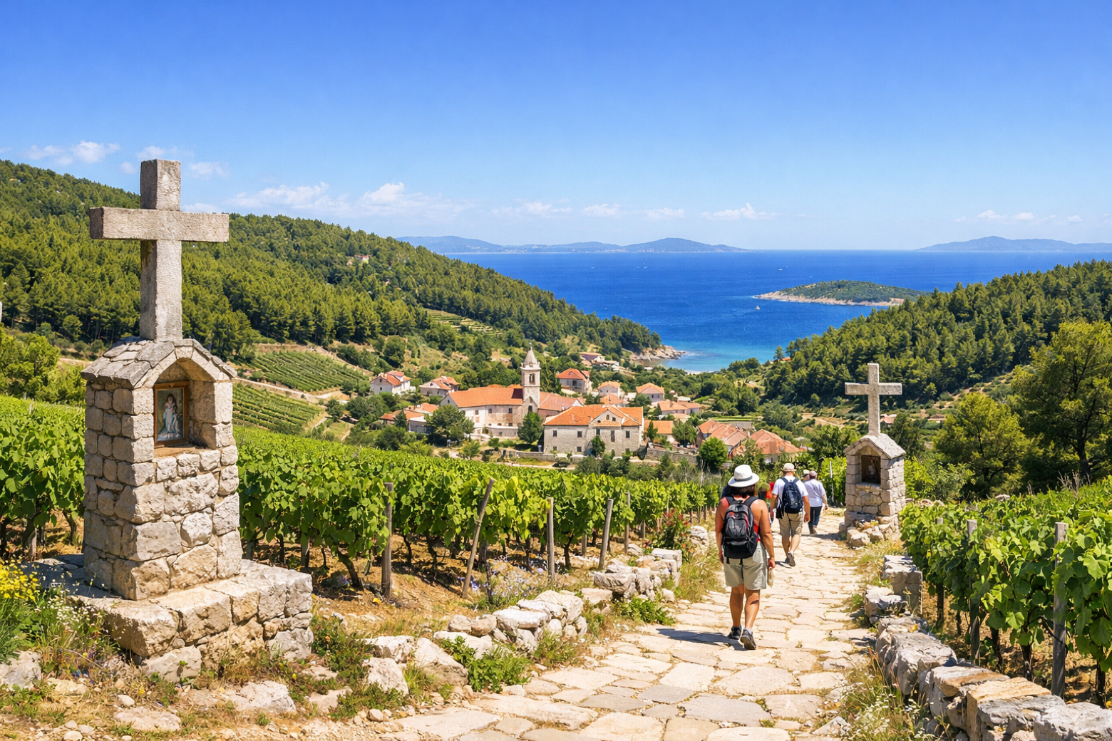
Stage information
- Ascent
- 250 m
- Descent
- 554 m
Difficulty: moderate
Walking the stage
Continue west along the scenic southern slopes, passing through vineyards producing the island's prized Pošip white wine, to the traditional inland village of Čara surrounded by pine forests and Mediterranean scrub.
On arrival in Čara, consider a stop at Zavalatica, close to the finish.
Look for these places on the stage map: Pupnat, Pupnatska Luka, and Zavalatica.
What to see on this stage
History and landmarks
Zavalatica
300 m from the trail as the crow flies
Nature and landscape
Kavni vrh
600 m from the trail as the crow flies
Gomila
800 m from the trail as the crow flies
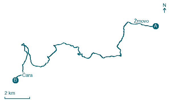
Map · Žrnovo → Čara
Take your walk with you: download Appy
Camino Korčula: Žrnovo → Čara. Explore maps, stages and elevation in the app, and plan your train or bus journey.

