Vela Luka → Račišće
Walking distance 22.4 km
Download Appy for the stage map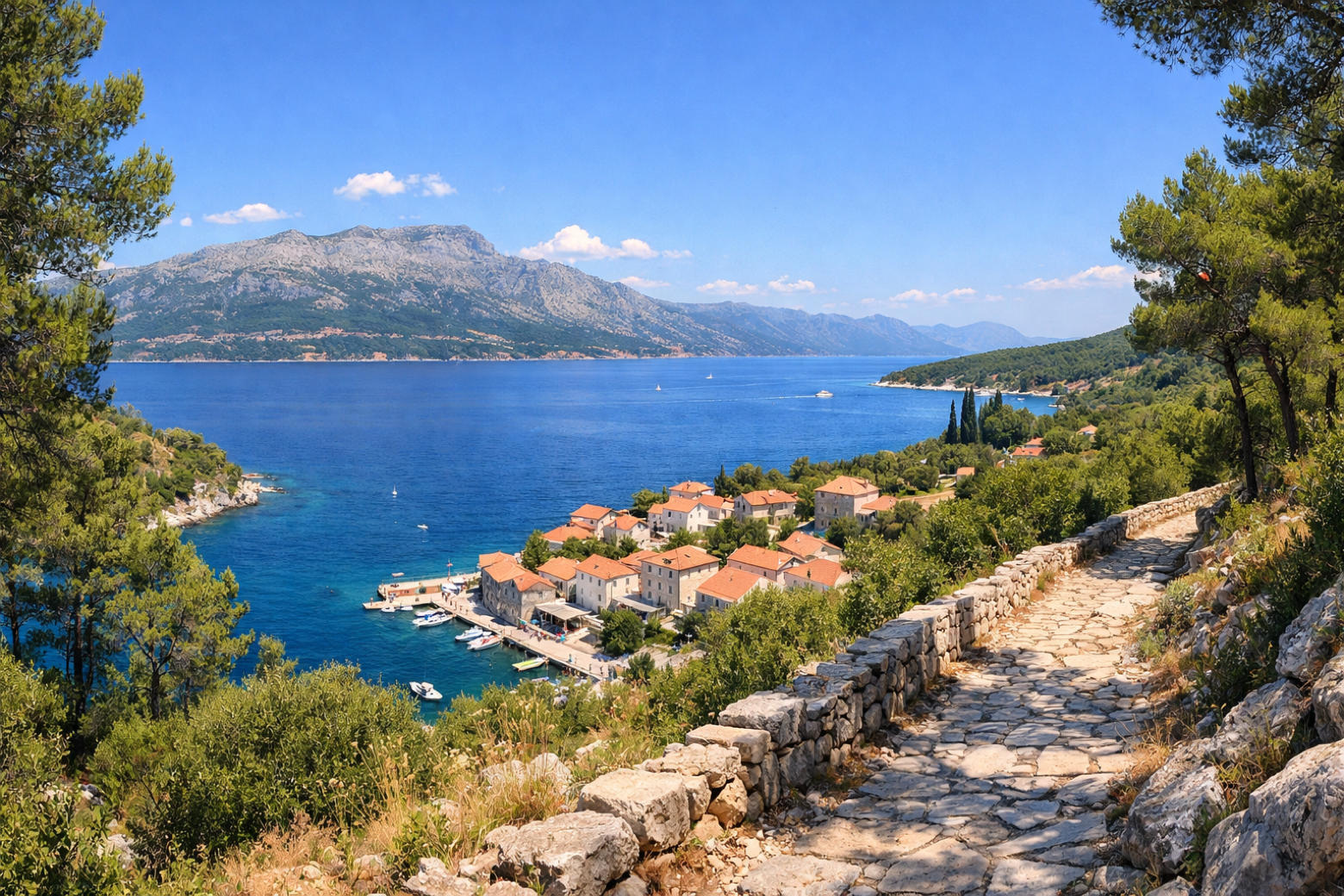
Stage information
- Ascent
- 270 m
- Descent
- 516 m
Difficulty: moderate
Walking the stage
Begin the return east along the quieter north coast of Korčula, climbing through maquis-covered hillsides with views across the Pelješac Channel to the small fishing hamlet of Račišće.
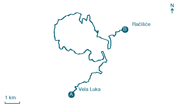
Before leaving Vela Luka, locate Hum on the map. It is close to the starting point.
Look for these places on the stage map: Plitvine, Gradina, Pelegrin, and Prapatna.
What to see on this stage
History and landmarks
Vela Spila
Archaeological site · < 100 m from the trail as the crow flies
Vela Luka
100 m from the trail as the crow flies
Nature and landscape
Hum
< 100 m from the trail as the crow flies
Spilski rat
< 100 m from the trail as the crow flies
Map · Vela Luka → Račišće
Take your walk with you: download Appy
Camino Korčula: Vela Luka → Račišće. Explore maps, stages and elevation in the app, and plan your train or bus journey.

