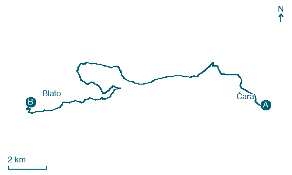
Čara → Blato
Walking distance 22.4 km
Download Appy for the stage map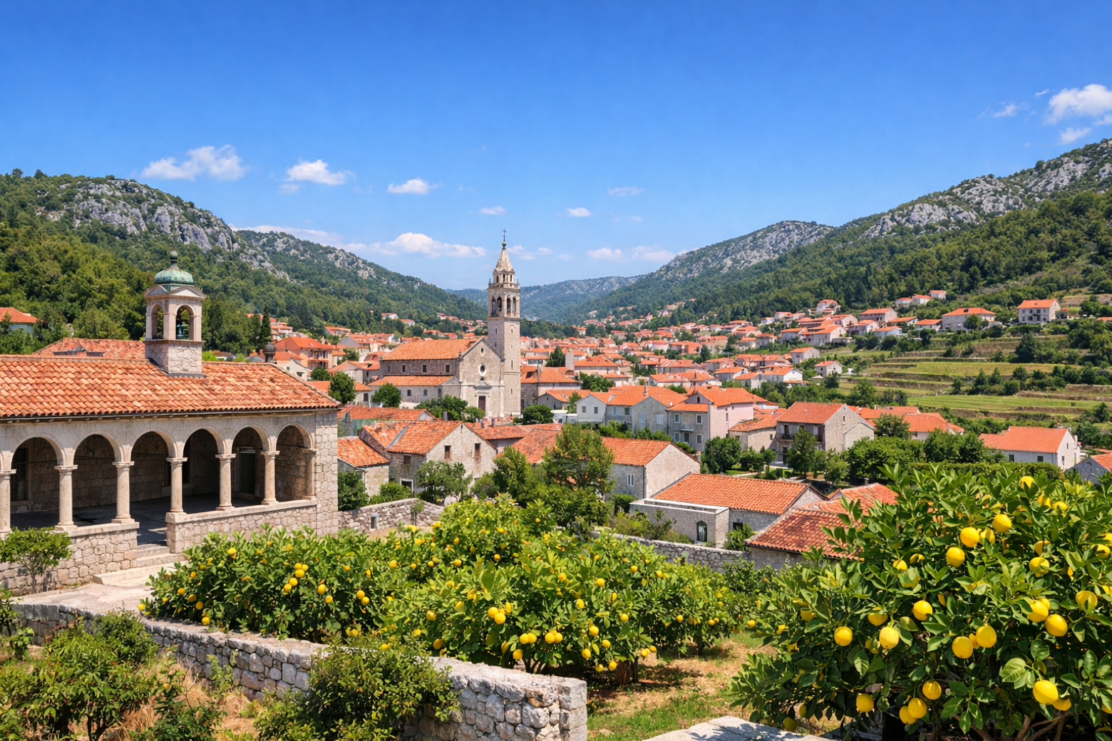
Stage information
- Ascent
- 351 m
- Descent
- 368 m
Difficulty: moderate
Walking the stage
Traverse the fertile central valley of Korčula to the island's largest town, Blato, a town of elegant baroque palaces, a medieval loggia, and vibrant village life set among mulberry and lemon groves.
On arrival in Blato, consider a stop at Gršćica, close to the finish.
Look for these places on the stage map: Smokvica, Brna, Prižba, and Danca.
What to see on this stage
History and landmarks
Prižba
200 m from the trail as the crow flies
Gršćica
< 100 m from the trail as the crow flies
Nature and landscape
Brig
200 m from the trail as the crow flies
Mišina glava
200 m from the trail as the crow flies
Map · Čara → Blato
Take your walk with you: download Appy
Camino Korčula: Čara → Blato. Explore maps, stages and elevation in the app, and plan your train or bus journey.

