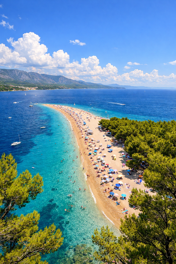
Camino Brač
Splitsko-dalmatinska, Croatia
Croatia · Supetar, Croatia → Supetar, Croatia
Distance
158 km
Stages
7
Difficulty
moderate
Best months
Apr-Jun, Sep-Oct
About
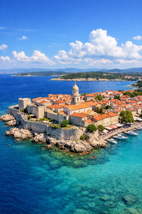
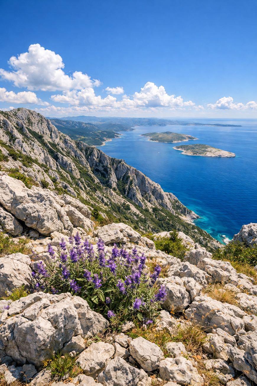
A 160 km loop around Brač Island. Seven stages of olive groves, ancient churches, and the salty tang of the Adriatic breeze.
Starting and ending in Supetar, this route weaves through Postira’s stone houses and the stonemasonry pride of Pučišća. With a total elevation gain of 3,469 meters, expect coastal paths and rugged hills.
The Church of St. Mary Magdalene waits for your visit.
Best from April to June or September to October, savor local cuisine and the island’s rich history with every step you take.
Stages
7 stages
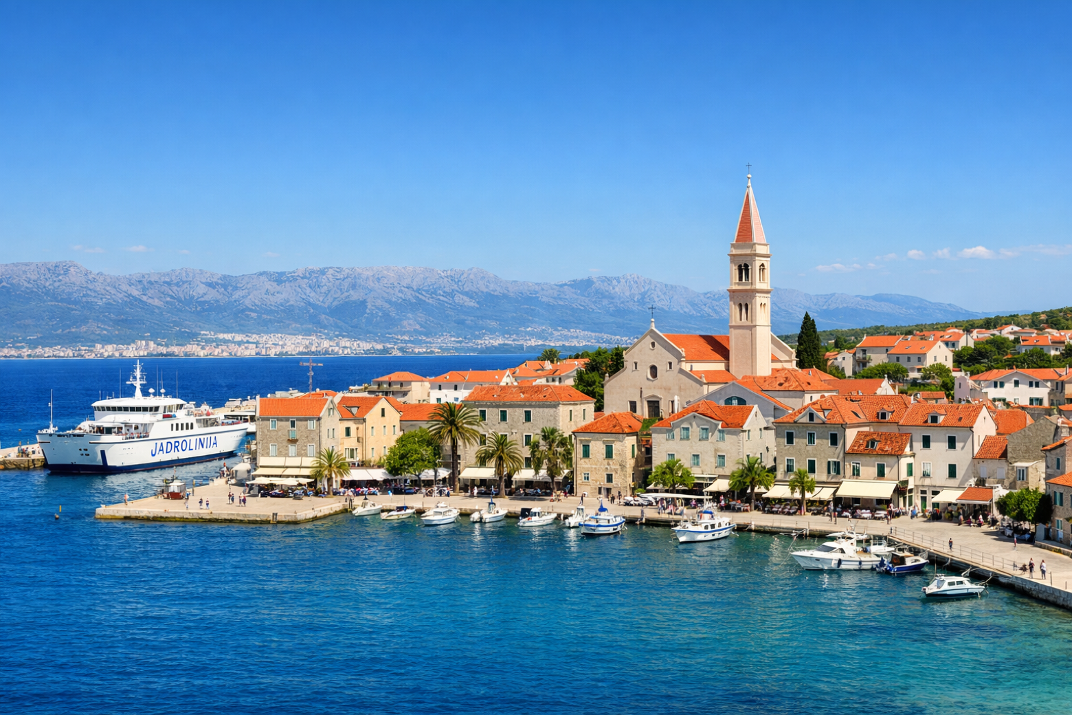 Stage 1
Supetar → Milna
moderateDistance23 kmAscent387 mDescent358 m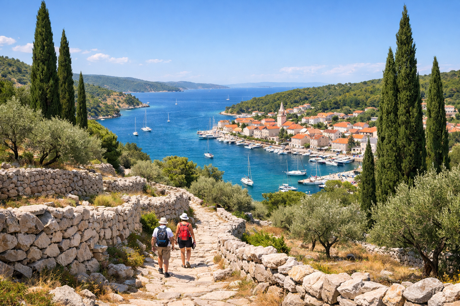 Stage 2
Milna → Nerežišća
moderateDistance23 kmAscent468 mDescent453 m Stage 3
Nerežišća → Bol
moderateDistance23 kmAscent702 mDescent314 m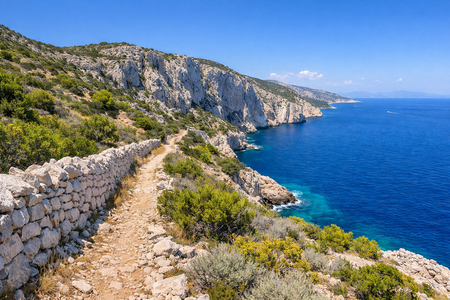 Stage 4
Bol → Selca
moderateDistance23 kmAscent224 mDescent572 m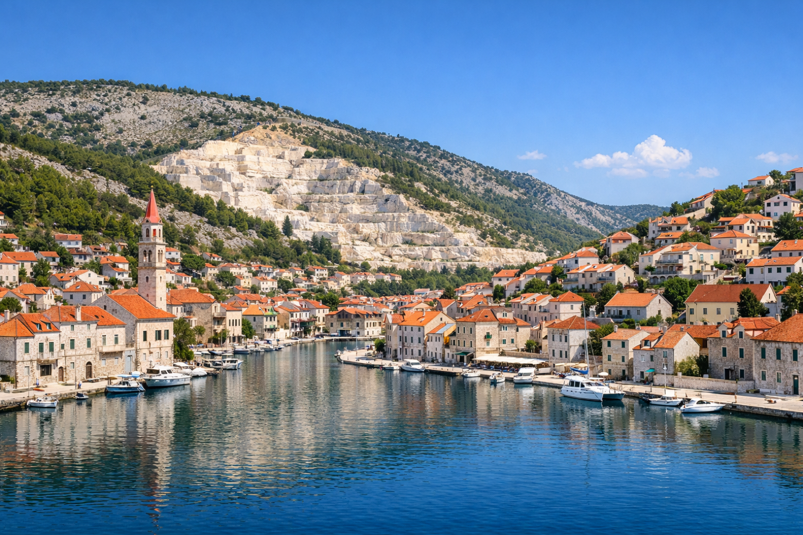 Stage 5
Selca → Pučišća
moderateDistance23 kmAscent538 mDescent487 m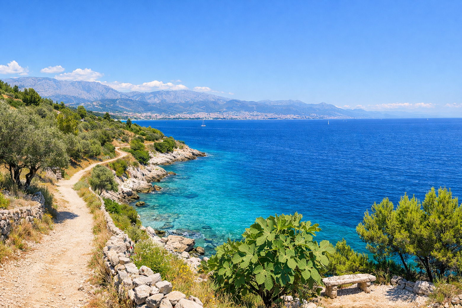 Stage 6
Pučišća → Postira
moderateDistance23 kmAscent576 mDescent486 m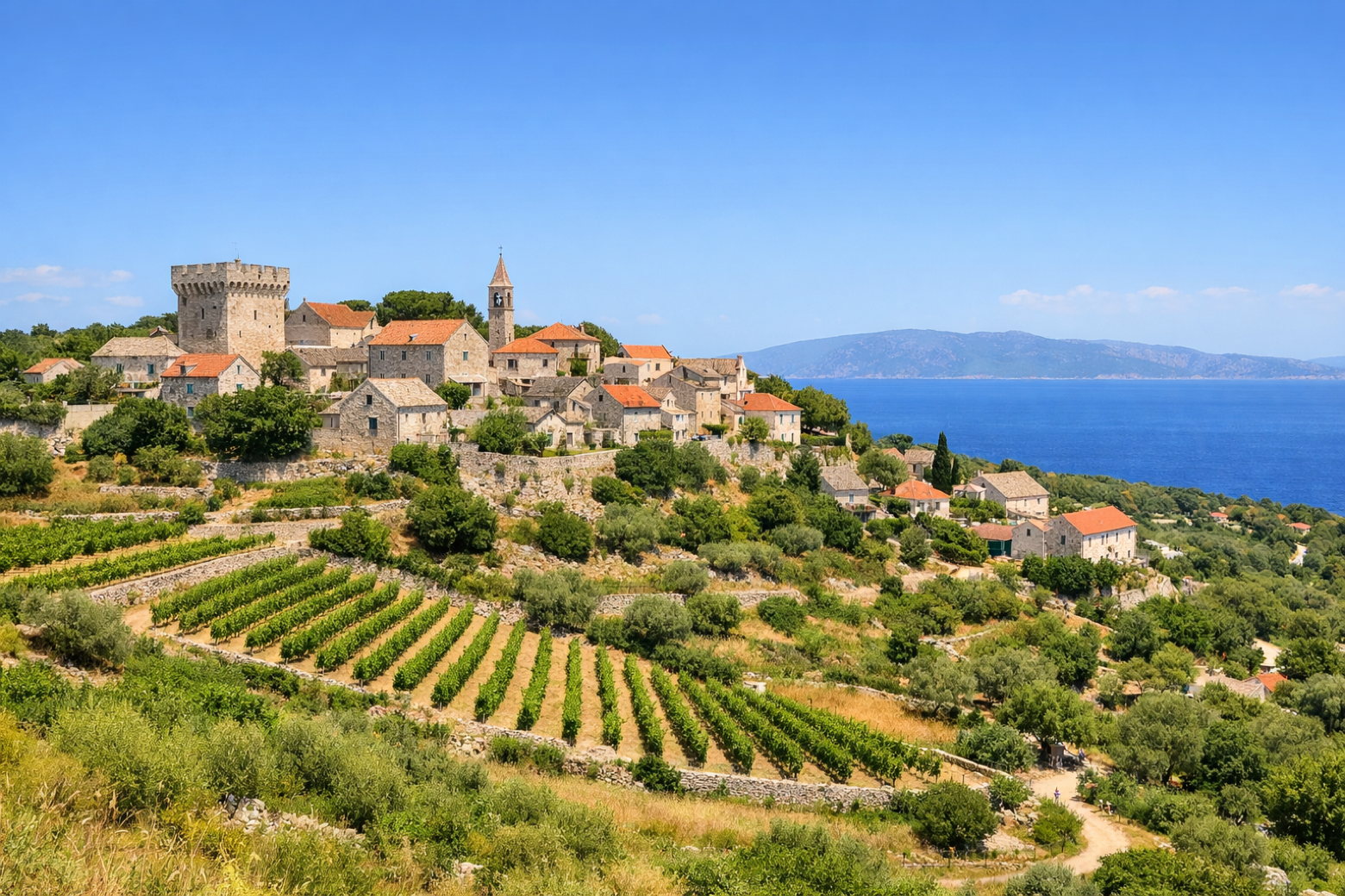 Stage 7
Postira → Supetar
moderateDistance23 kmAscent574 mDescent797 m
Travel
Find connections for your cammino.
Search trainsMore walks in Croatia
Plan your walking trip
How to choose a walking route: stages, days and ascent
Choose a walking route by comparing daily stages, available days, ascent and transport links. Practical planning with examples from the Appy catalogue.
How to plan a walking trip by train and bus
Plan travel to and from your walk: stage endpoints, stations, stops and the connection to the trail. A practical guide to routes and transport with Appy.
Take your walk with you: download Appy
Camino Brač. Explore maps, stages and elevation in the app, and plan your train or bus journey.