Račišće → Čara
Walking distance 22.4 km
Download Appy for the stage map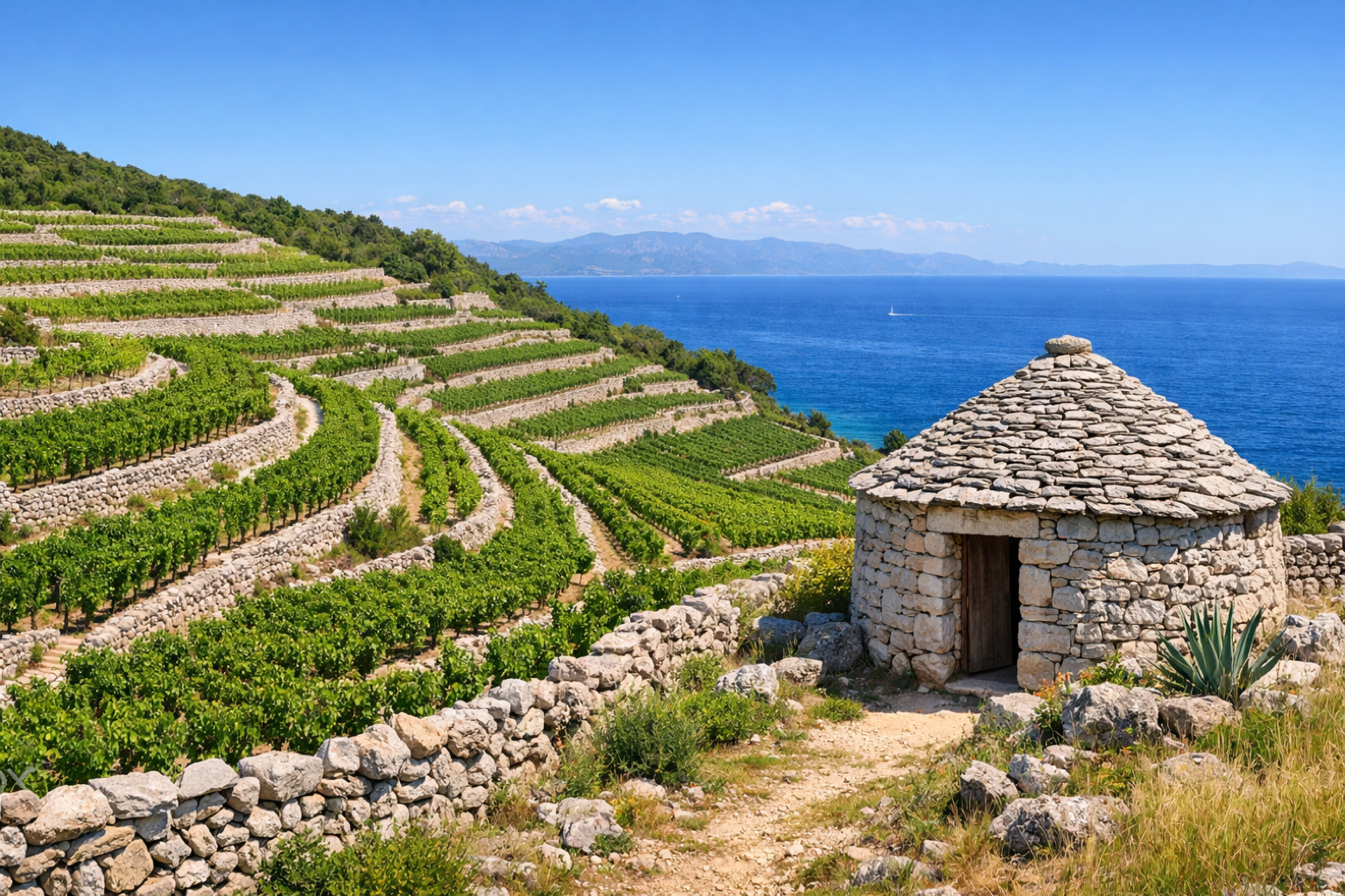
Stage information
- Ascent
- 140 m
- Descent
- 161 m
Difficulty: moderate
Walking the stage
Continue east along the north coast through terraced hillside villages and stone hamlets, gradually climbing back to the central ridge and descending to the wine-country village of Čara.
Before leaving Račišće, locate Veli vrh on the map. It is close to the starting point.
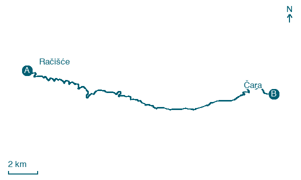
Look for these places on the stage map: Črnja Luka, Prigradica, Blaca, and Velika Rasoha.
What to see on this stage
History and landmarks
Vela Spila
Archaeological site · 1.6 km from the trail as the crow flies
Velika Rasoha
< 100 m from the trail as the crow flies
Nature and landscape
Sprtišča
400 m from the trail as the crow flies
Veli vrh
600 m from the trail as the crow flies
Map · Račišće → Čara
Take your walk with you: download Appy
Camino Korčula: Račišće → Čara. Explore maps, stages and elevation in the app, and plan your train or bus journey.

