Arzúa → O Pedrouzo
Walking distance 18.8 km
Download Appy for the stage map
Stage information
- Ascent
- 409 m
- Descent
- 512 m
Difficulty: moderate (estimated)
Walking the stage
Head from Arzúa to O Pedrouzo over 19 km with 409 m of ascent, via A Calzada, Lengüelle and Quintás.
Before leaving Arzúa, locate Capilla de la Magdalena on the map. It is close to the starting point.
Look for these places on the stage map: Pregontoño, Lengüelle, A Rabiña, and A Rúa.
What to see on this stage
History and landmarks
Capilla de la Magdalena
Chapel · < 100 m from the trail as the crow flies
A Roda do Castro
Archaeological site · 200 m from the trail as the crow flies
Nature and landscape
Raíña
Summit · 200 m from the trail as the crow flies
Montes da Pedreira
Summit · 600 m from the trail as the crow flies
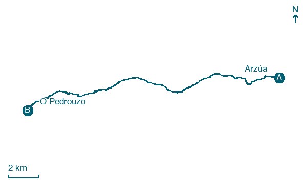
Map · Arzúa → O Pedrouzo
Take your walk with you: download Appy
Camino del Norte: Arzúa → O Pedrouzo. Explore maps, stages and elevation in the app, and plan your train or bus journey.

