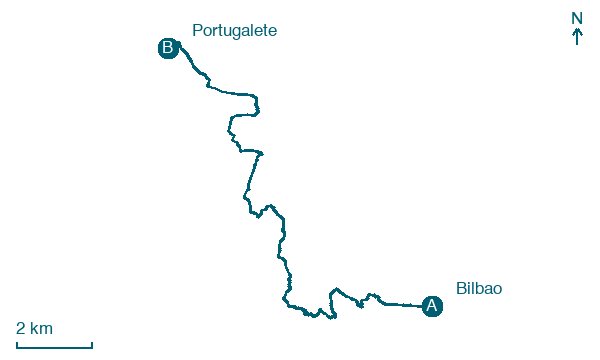
Bilbao → Portugalete
Walking distance 18.4 km
Download Appy for the stage map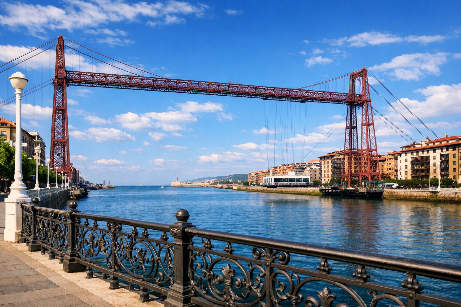
Stage information
- Ascent
- 424 m
- Descent
- 413 m
Difficulty: moderate (estimated)
Walking the stage
Walk 18 km from Bilbao to Portugalete through Barakaldo and Sestao, with 424 m of ascent in total.
On arrival in Portugalete, consider a stop at Palacio Carranza, close to the finish.
Look for these places on the stage map: Agate Deuna, Gorostiza, Barakaldo, and Sestao.
What to see on this stage
History and landmarks
Casa Torre de Salazar
Tower · < 100 m from the trail as the crow flies
Tower in Gothic style, in Portugalete, Spain, designated as Basque government heritage site.
Palacio Carranza
Palace · < 100 m from the trail as the crow flies
Palace, in Portugalete, Spain, designated as Basque government heritage site.
Nature and landscape
Monte Cobetas
Summit · 200 m from the trail as the crow flies
Peak at 198 m elevation. Mount Cobetas (Spanish: Monte Cobetas; Basque: Kobeta Mendi) is a hill in the city of Bilbao, Spain.
Real Club Marítimo del Abra Real Sporting Club
1,000 m from the trail as the crow flies
Map · Bilbao → Portugalete
Take your walk with you: download Appy
Camino del Norte: Bilbao → Portugalete. Explore maps, stages and elevation in the app, and plan your train or bus journey.

