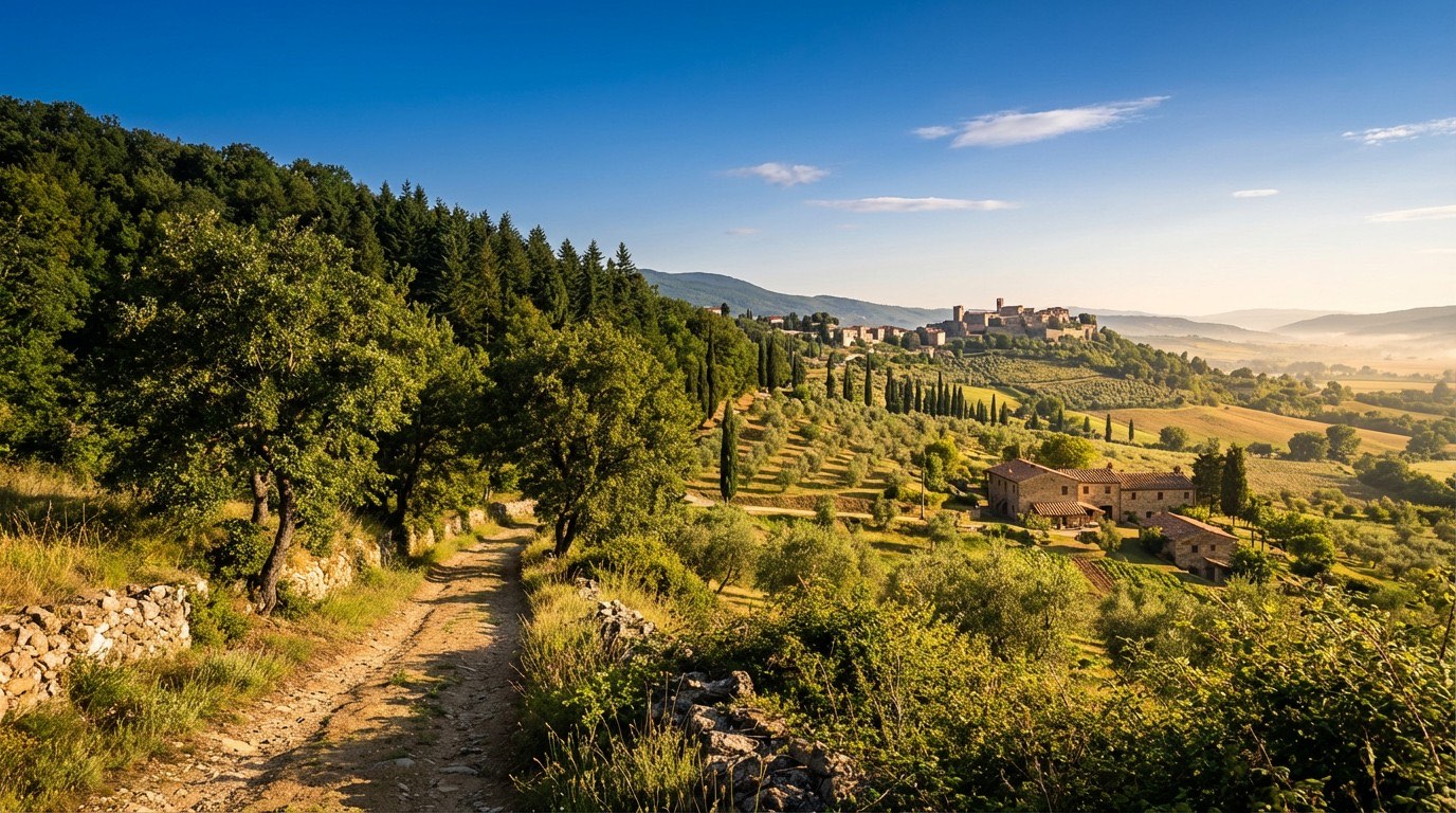
Via di Francesco di Roma
Umbria, Italy
Italy · La Verna, Italy → Roma, Italy
Distance
437 km
Stages
21
Difficulty
moderate
Best months
Apr-Jun, Sep-Oct
About
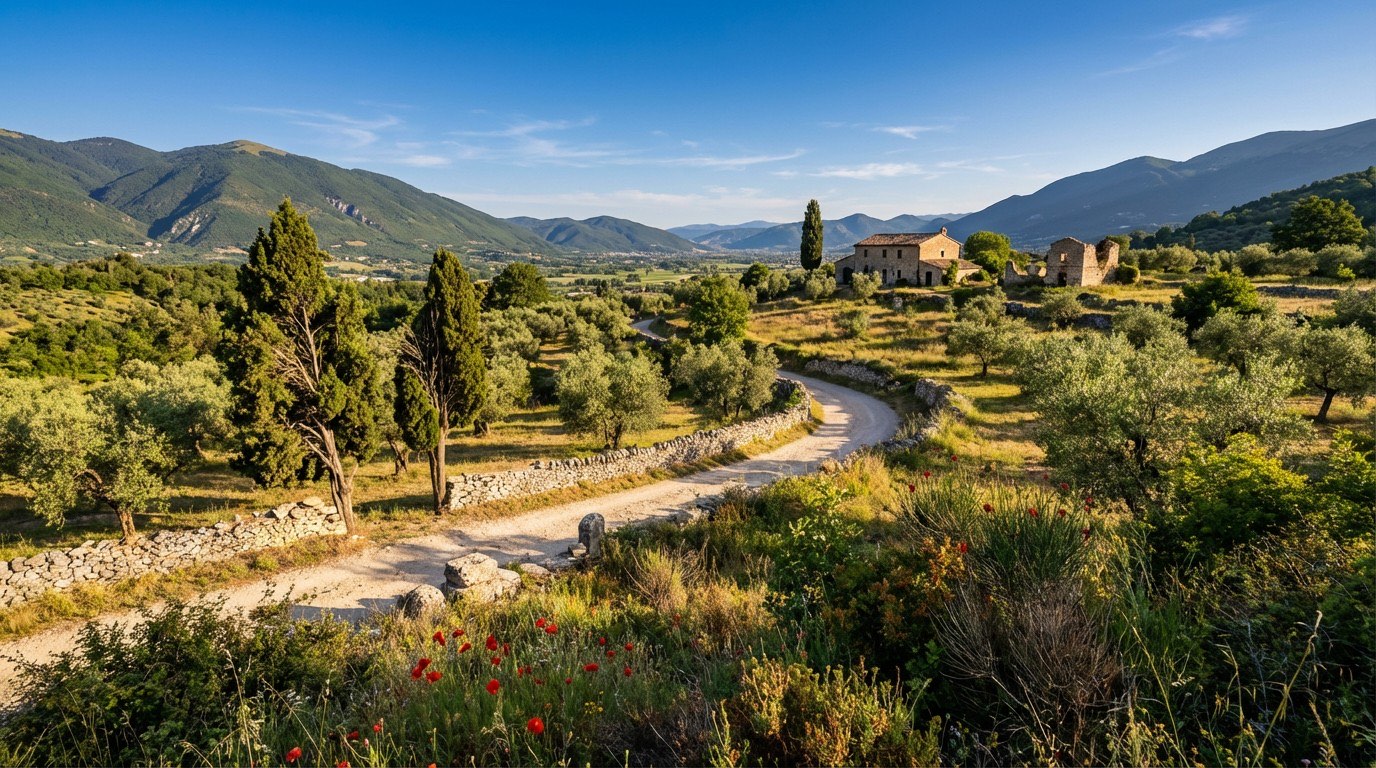
A 440 km spiritual route, the Via di Francesco di Roma winds from La Verna to Rome, 21 stages of rolling hills, dense forests, and medieval villages. The scent of wild thyme fills the air as you traverse this landscape in Franciscan heritage.
Key waypoints like Chiusi della Verna and Marmore echo the footsteps of those who sought clarity long before. Elevation gain?
A staggering 15,642 m challenges even seasoned hikers. Best walked in spring or autumn, this journey is as much about the soul as the soles of your shoes.
Stages
21 stages
- Stage 1
La Verna → Pieve Santo Stefano
moderateDistance15 kmAscent156 mDescent744 m 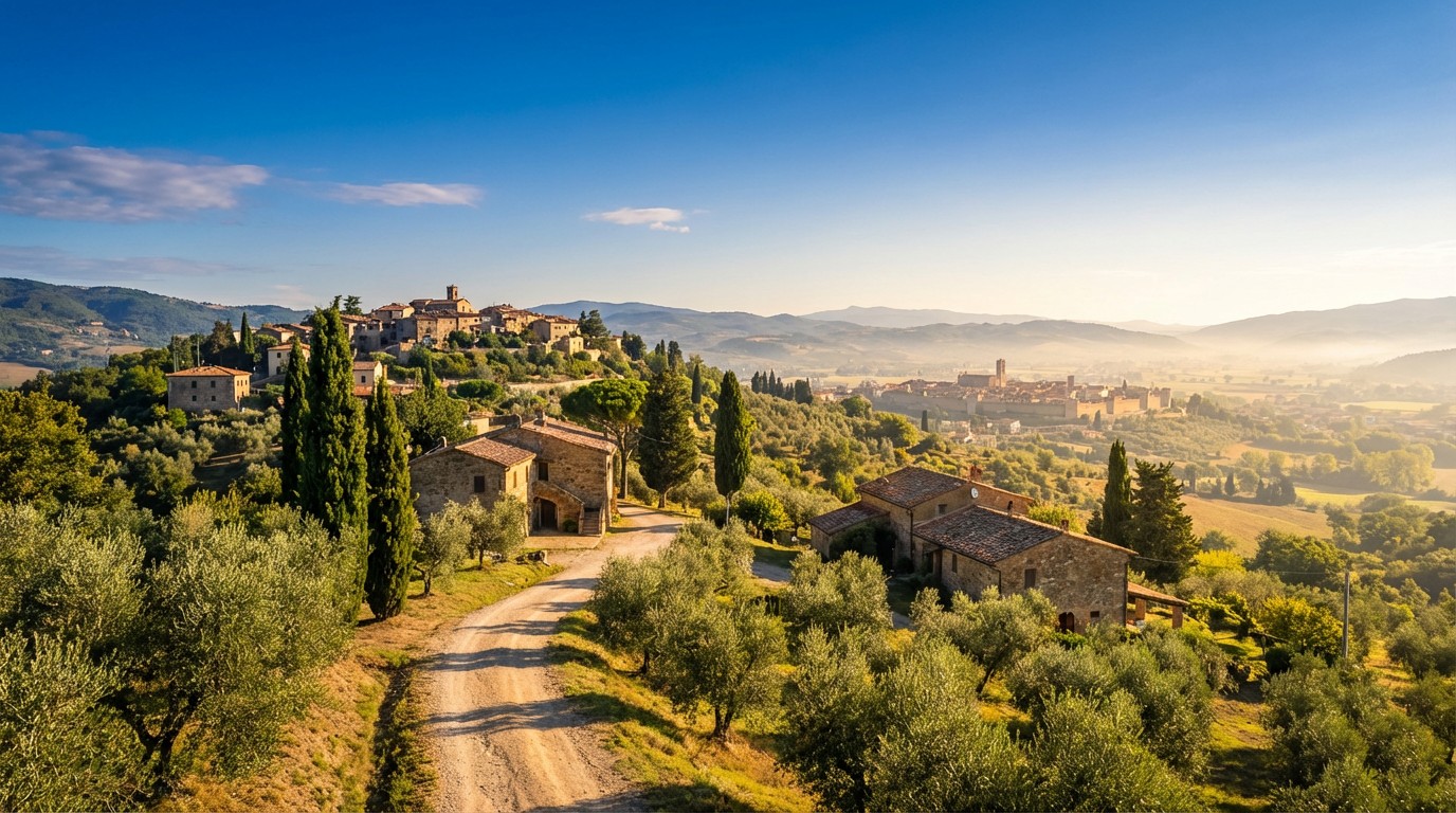 Stage 2Distance35 kmAscent141 mDescent233 m
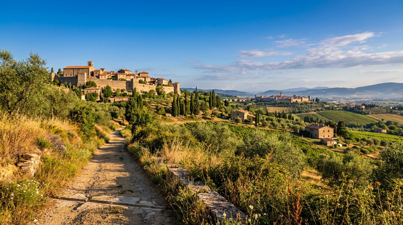 Stage 3Distance12 kmAscent267 mDescent130 m
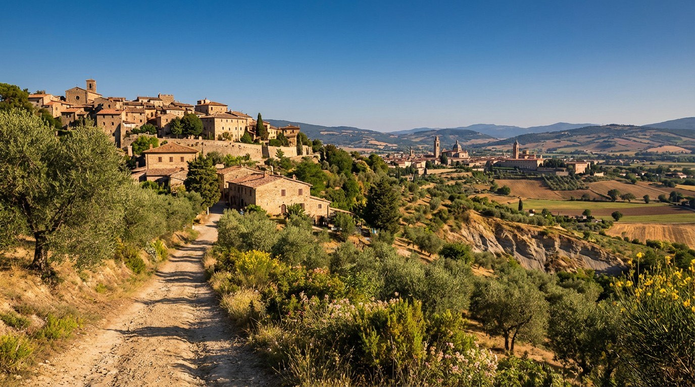 Stage 4
Citerna → Città di Castello
moderateDistance19 kmAscent828 mDescent1006 m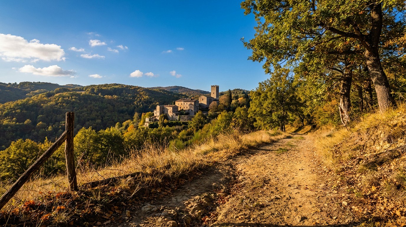 Stage 5
Città di Castello → Pietralunga
challengingDistance31 kmAscent1390 mDescent1129 m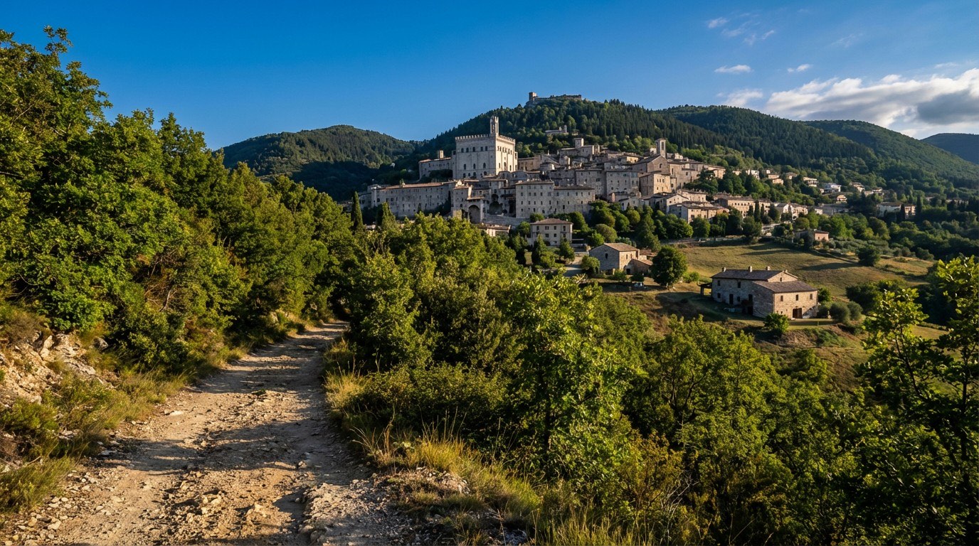 Stage 6
Pietralunga → Gubbio
moderateDistance26 kmAscent840 mDescent894 m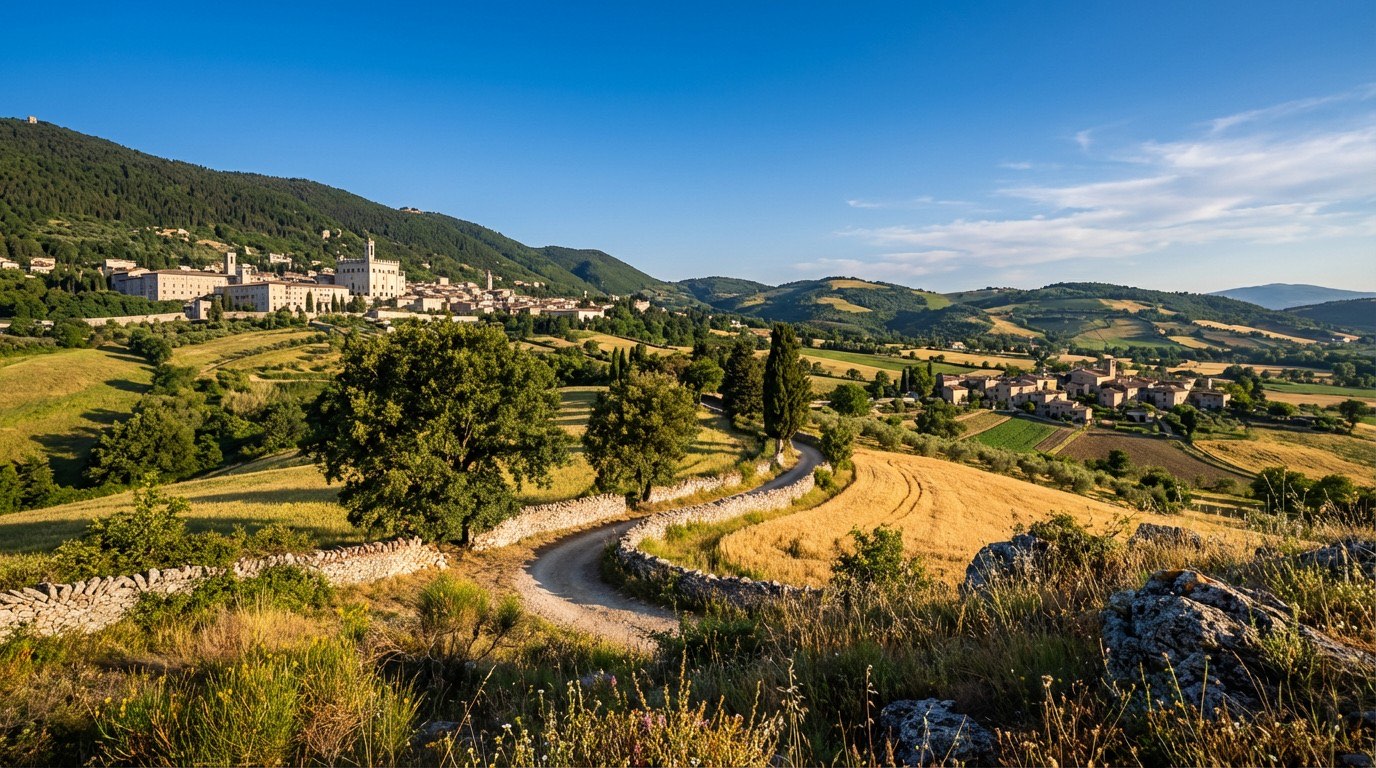 Stage 7
Gubbio → Valfabbrica
challengingDistance38 kmAscent1490 mDescent1694 m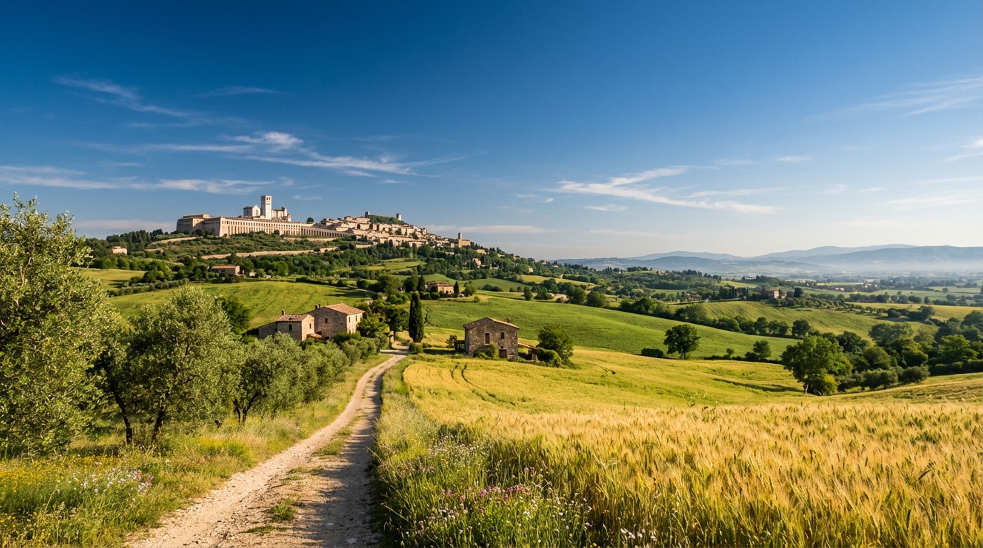 Stage 8
Valfabbrica → Assisi
moderateDistance13 kmAscent590 mDescent502 m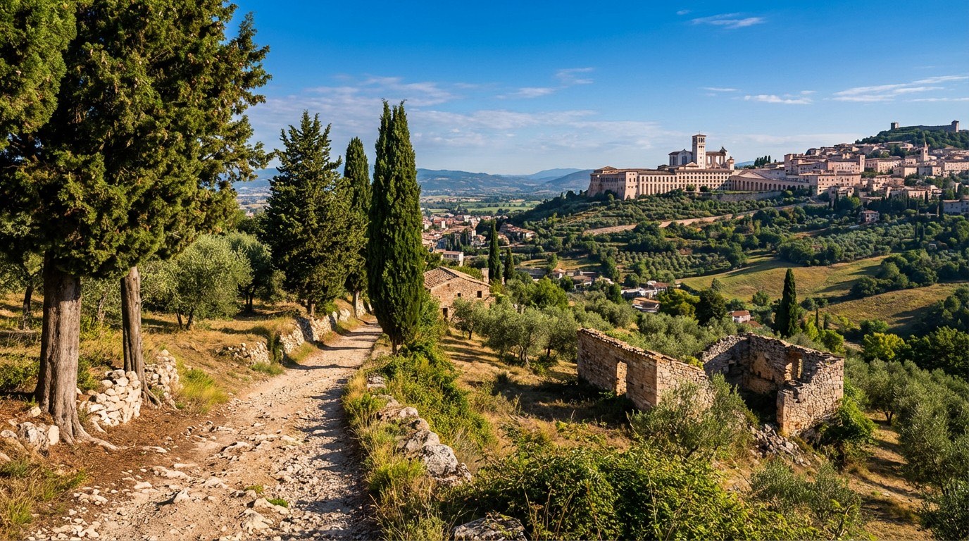 Stage 9
Assisi → Foligno
moderateDistance19 kmAscent386 mDescent524 m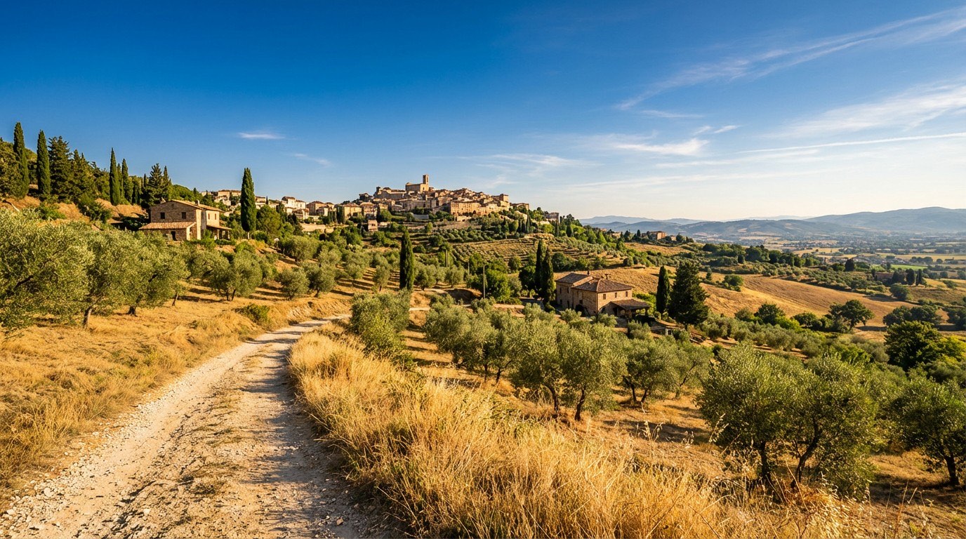 Stage 10
Foligno → Trevi
moderateDistance12 kmAscent378 mDescent195 m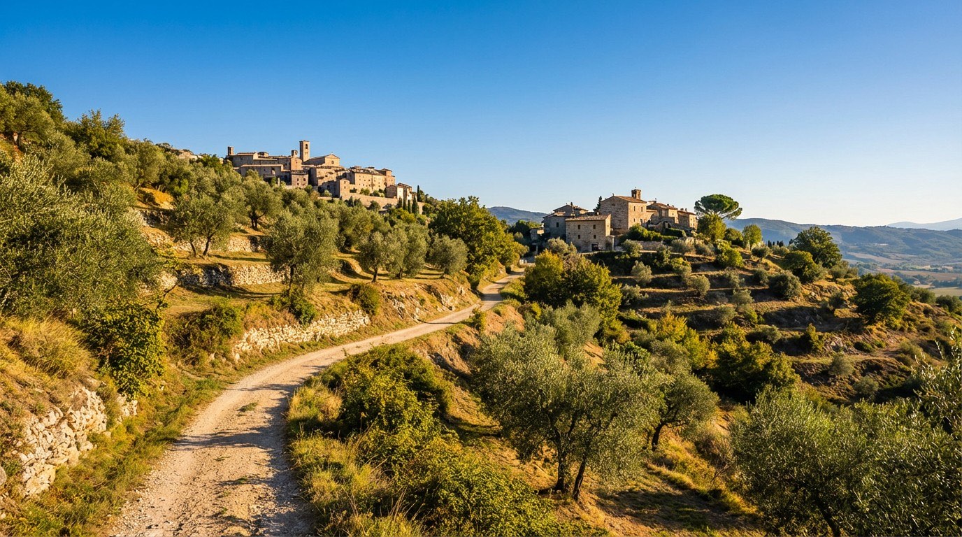 Stage 11
Trevi → Poreta
moderateDistance12 kmAscent501 mDescent579 m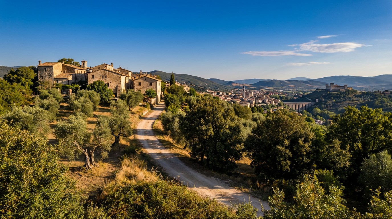 Stage 12
Poreta → Spoleto
moderateDistance16 kmAscent703 mDescent656 m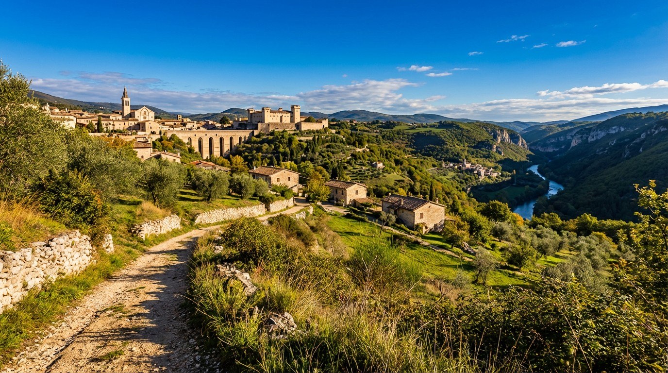 Stage 13
Spoleto → Ceselli
challengingDistance16 kmAscent1060 mDescent1161 m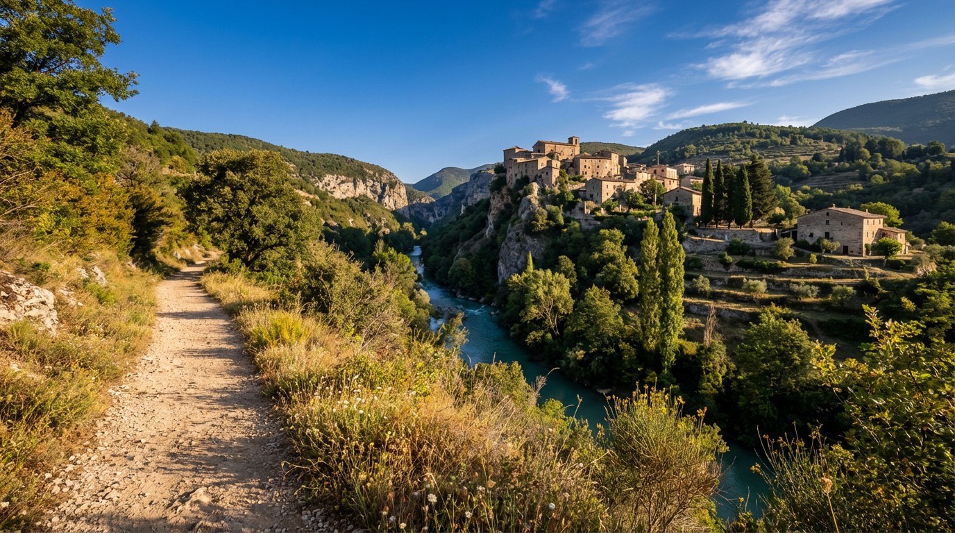 Stage 14
Ceselli → Arrone
moderateDistance15 kmAscent282 mDescent321 m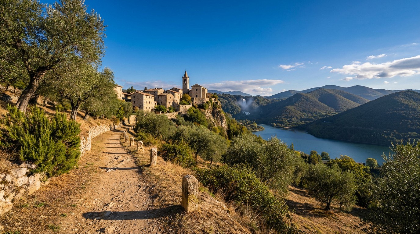 Stage 15Distance13 kmAscent320 mDescent181 m
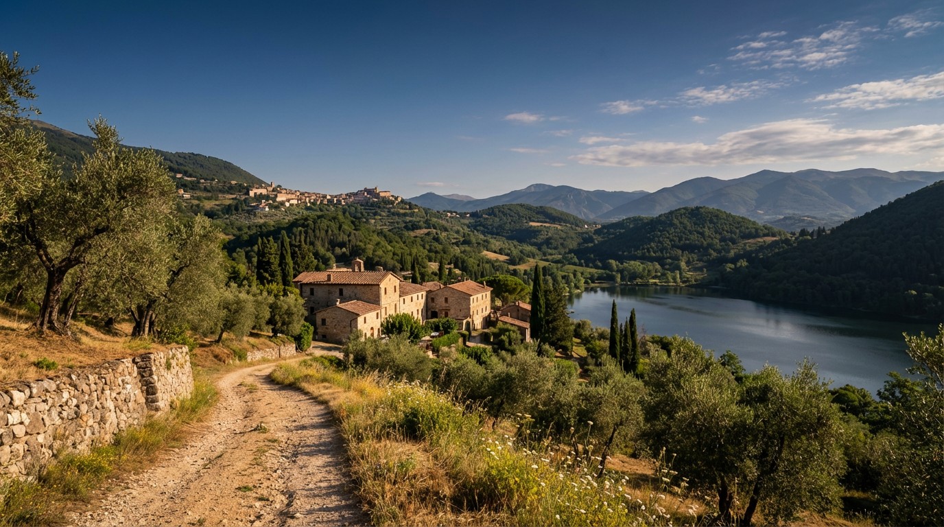 Stage 16
Piediluco → Poggio Bustone
challengingDistance22 kmAscent1178 mDescent748 m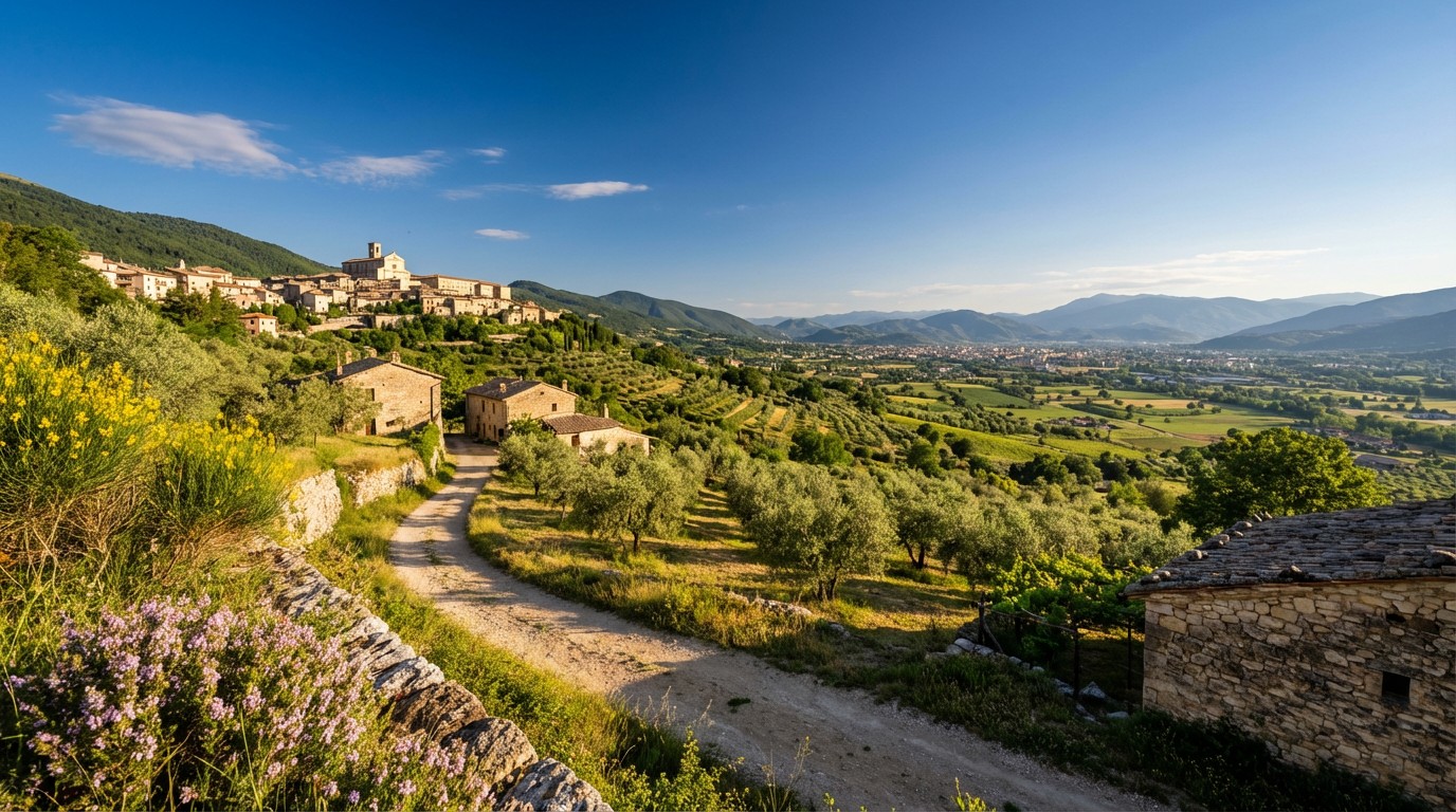 Stage 17Distance18 kmAscent45 mDescent347 m
 Stage 18
Rieti → Ponticelli di Scandriglia
challengingDistance42 kmAscent871 mDescent792 m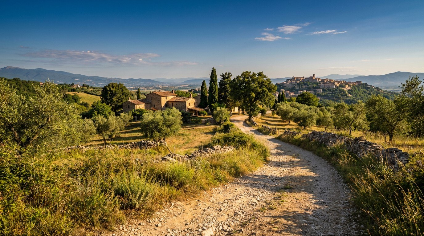 Stage 19Distance29 kmAscent296 mDescent607 m
 Stage 20Distance18 kmAscent93 mDescent177 m
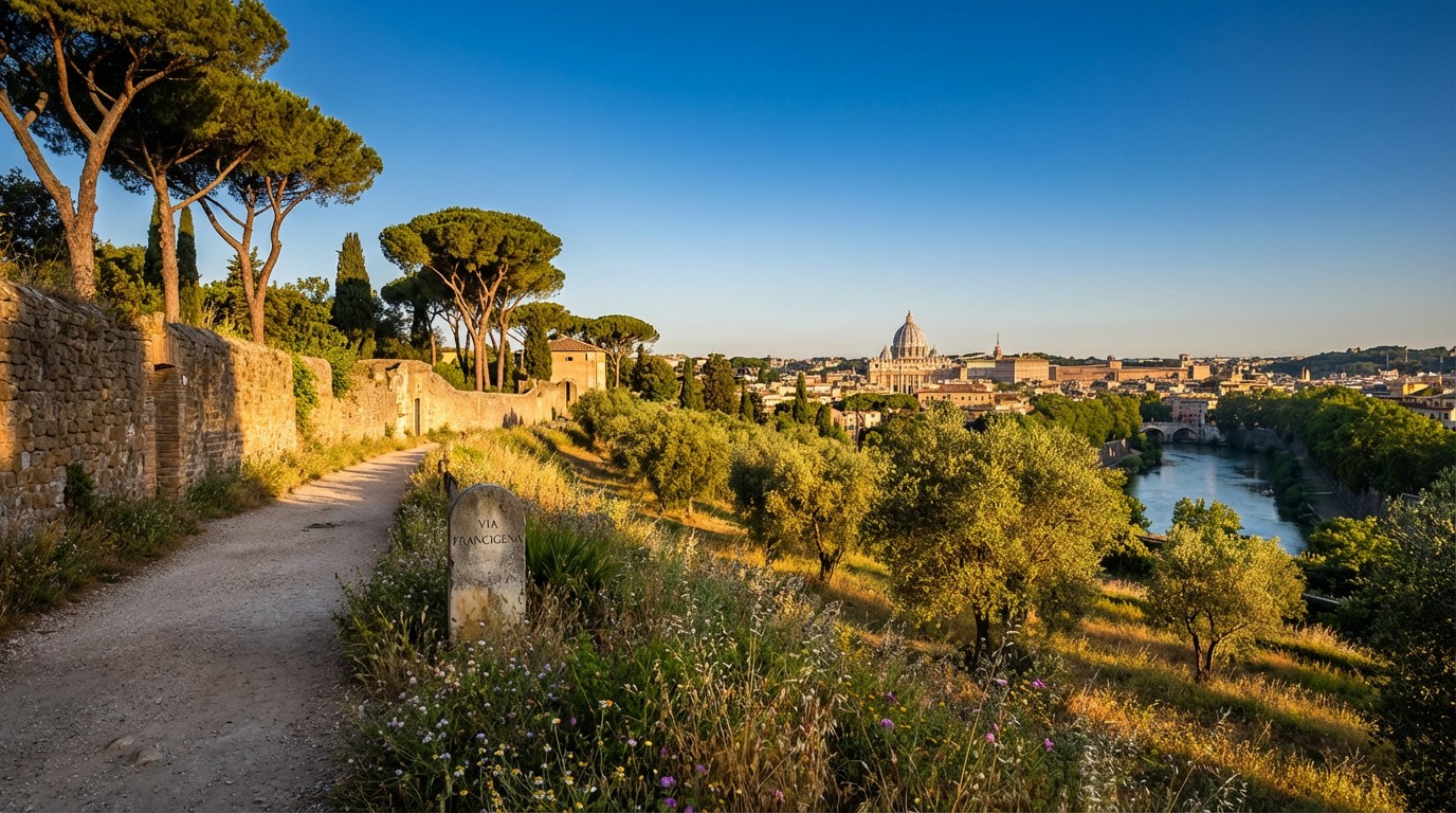 Stage 21Distance15 kmAscent89 mDescent93 m
Travel
Find connections for your cammino.
Search trainsMore walks in Italy
Plan your walking trip
How to choose a walking route: stages, days and ascent
Choose a walking route by comparing daily stages, available days, ascent and transport links. Practical planning with examples from the Appy catalogue.
How to plan a walking trip by train and bus
Plan travel to and from your walk: stage endpoints, stations, stops and the connection to the trail. A practical guide to routes and transport with Appy.
Take your walk with you: download Appy
Via di Francesco di Roma. Explore maps, stages and elevation in the app, and plan your train or bus journey.