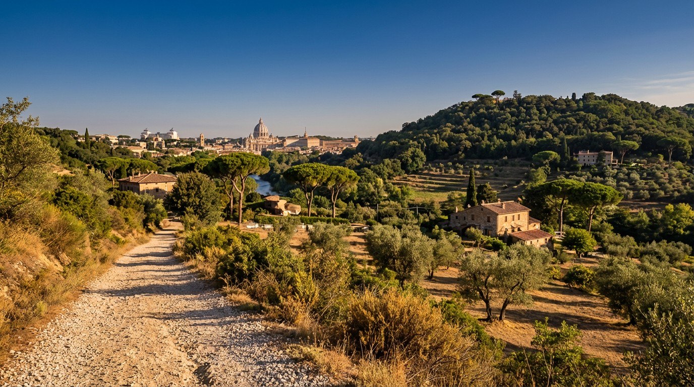
Via di Francesco del Sud
Umbria, Italy
Italy · Rome, Italy → Assisi, Italy
Distance
247 km
Stages
13
Difficulty
moderate
Best months
Apr-Jun, Sep-Oct
Via di Francesco del Sud · Stages and distances
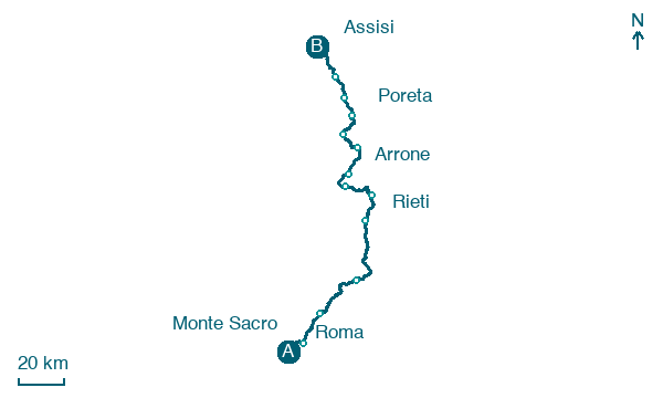
Walking distances for Appy’s stages (13)
| Stage | km |
|---|---|
| 1. Roma → Monte Sacro | 15.2 |
| 2. Monte Sacro → Monterotondo | 18.1 |
| 3. Monterotondo → Ponticelli di Scandriglia | 28.9 |
| 4. Ponticelli di Scandriglia → Rieti | 42.4 |
| 5. Rieti → Poggio Bustone | 17.8 |
| 6. Poggio Bustone → Piediluco | 22 |
| 7. Piediluco → Arrone | 12.8 |
| 8. Arrone → Ceselli | 15.1 |
| 9. Ceselli → Spoleto | 15.7 |
| 10. Spoleto → Poreta | 15 |
| 11. Poreta → Trevi | 12.1 |
| 12. Trevi → Foligno | 12.4 |
| 13. Foligno → Assisi | 19.2 |
| Total | 246.7 |
About
Two hundred fifty kilometers of history and heart. The Via di Francesco del Sud traces the steps of St.
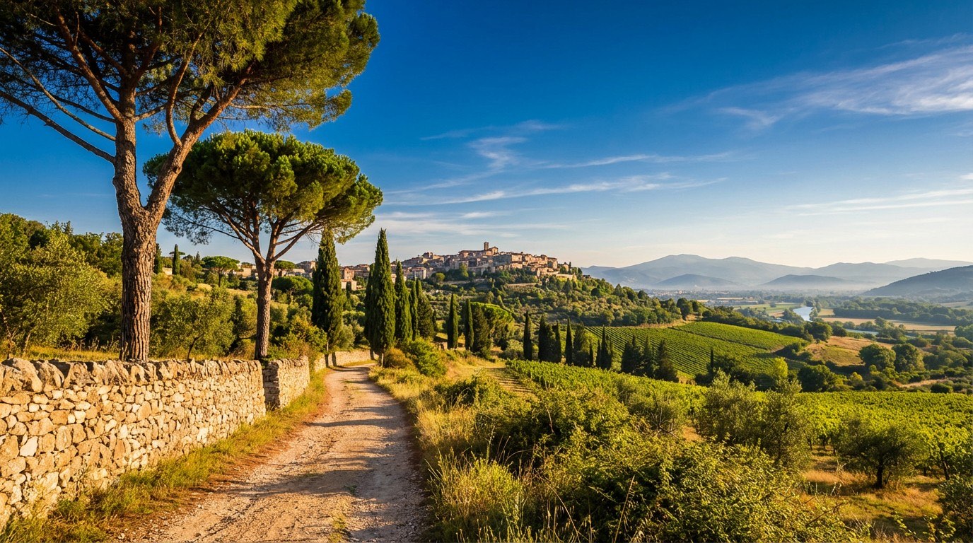
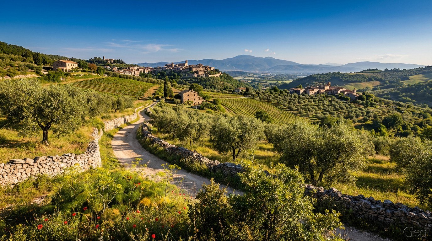
Francis, from the bustling streets of Rome to the serene hills of Assisi. Thirteen stages, 9,476 meters of elevation gain, and a medley of landscapes: rolling Sabine hills, rugged ascents, and charming villages like Borgo San Benedetto.
The scent of wild rosemary lingers in the air. Hike it in spring or autumn, when the paths are alive with locals and stories.
This is more than a walk; it’s a journey through Italy’s spiritual and cultural soul.
Stages
13 stages
- Stage 1
- Distance
- 15 km
- Ascent
- 93 m
- Descent
- 89 m
 Stage 2
- Distance
- 18 km
- Ascent
- 177 m
- Descent
- 93 m
 Stage 3
- Distance
- 29 km
- Ascent
- 607 m
- Descent
- 296 m
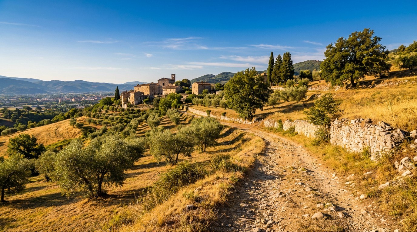 Stage 4
Ponticelli di Scandriglia → Rieti
challenging- Distance
- 42 km
- Ascent
- 796 m
- Descent
- 710 m
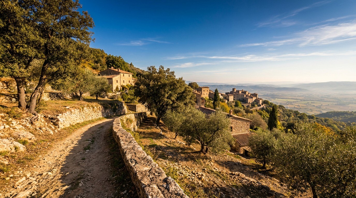 Stage 5
Rieti → Poggio Bustone
moderate- Distance
- 18 km
- Ascent
- 347 m
- Descent
- 45 m
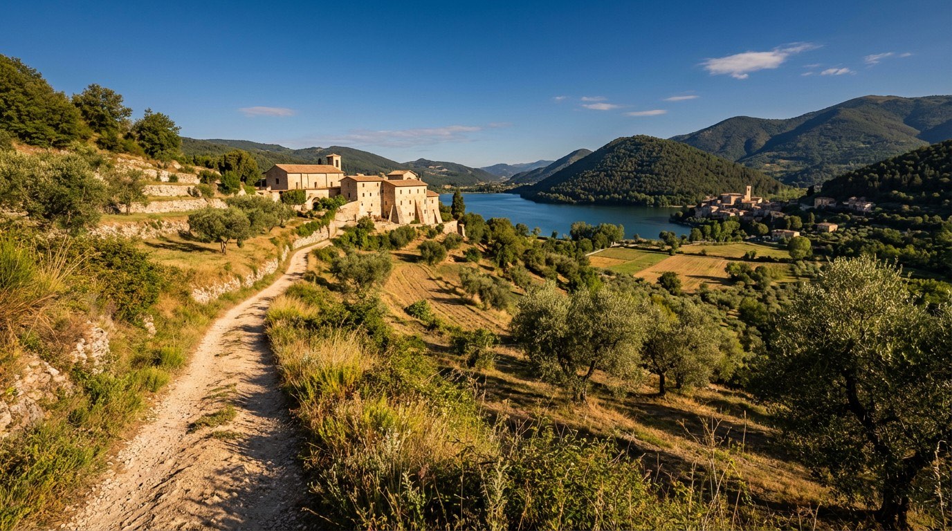 Stage 6
Poggio Bustone → Piediluco
moderate- Distance
- 22 km
- Ascent
- 748 m
- Descent
- 1178 m
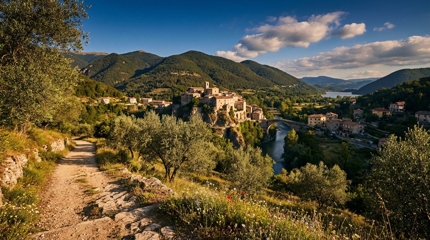 Stage 7
- Distance
- 13 km
- Ascent
- 181 m
- Descent
- 320 m
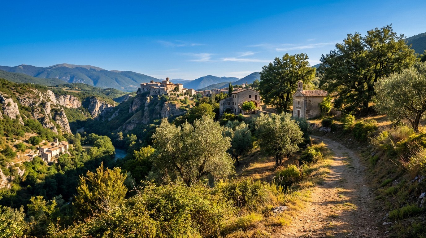 Stage 8
Arrone → Ceselli
moderate- Distance
- 15 km
- Ascent
- 321 m
- Descent
- 282 m
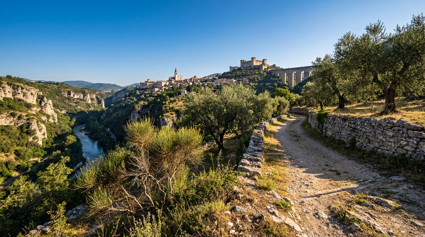 Stage 9
Ceselli → Spoleto
challenging- Distance
- 16 km
- Ascent
- 1161 m
- Descent
- 1060 m
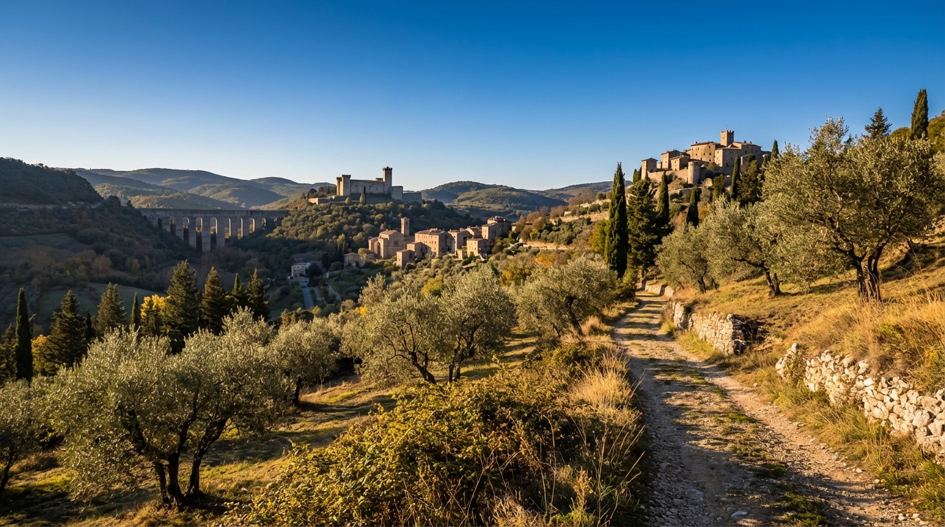 Stage 10
Spoleto → Poreta
moderate- Distance
- 15 km
- Ascent
- 588 m
- Descent
- 635 m
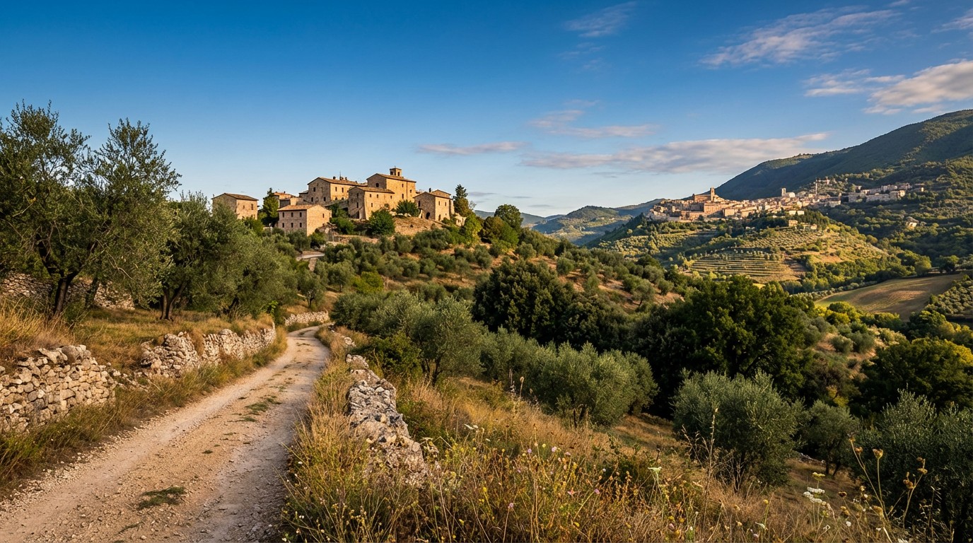 Stage 11
Poreta → Trevi
moderate- Distance
- 12 km
- Ascent
- 579 m
- Descent
- 501 m
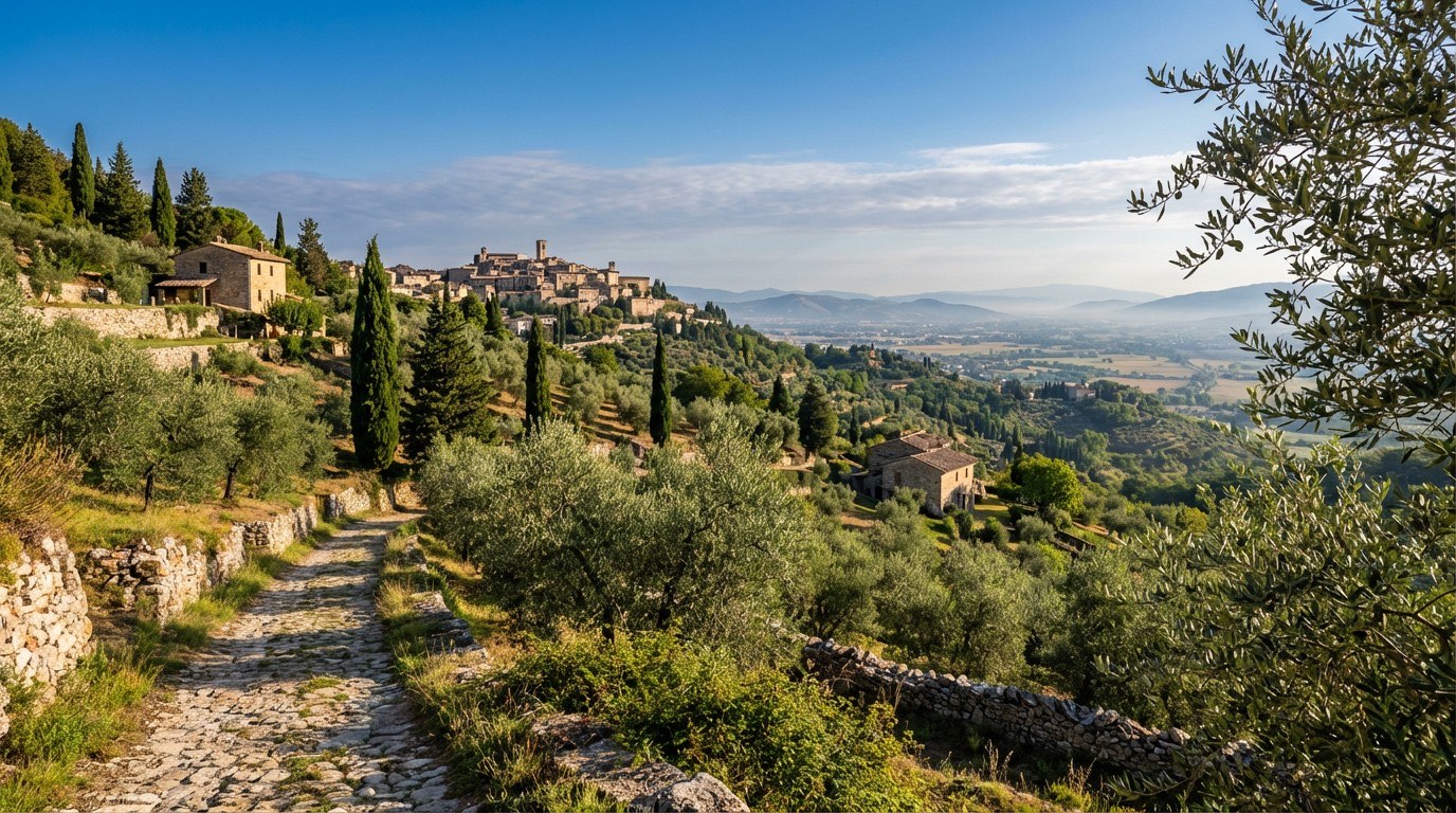 Stage 12
Trevi → Foligno
easy- Distance
- 12 km
- Ascent
- 195 m
- Descent
- 378 m
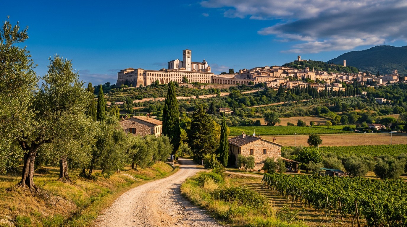 Stage 13
Foligno → Assisi
moderate- Distance
- 19 km
- Ascent
- 523 m
- Descent
- 385 m
Travel
Find connections for your cammino.
Search trainsMore walks in Italy
Plan your walking trip
All articles and guidesHow to choose a walking route: stages, days and ascent
How many days can you actually spend walking? Start there, then choose stages that leave you time to stop along the way.
How to plan a walking trip by train and bus
Two different stations, a last bus and a backpack. Fit the journeys out and home around the days you want to spend walking.
Take your walk with you: download Appy
Via di Francesco del Sud. Explore maps, stages and elevation in the app, and plan your train or bus journey.

