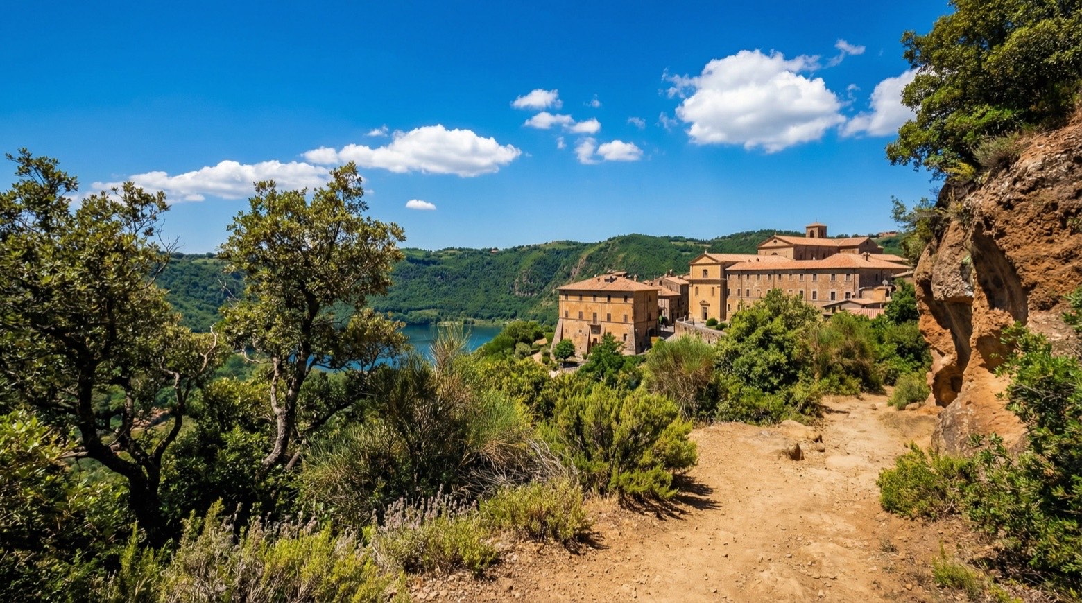
Cammino di San Benedetto
Umbria, Italy
Italy · Norcia, Italy → Cassino, Italy
Distance
301 km
Stages
16
Difficulty
moderate
Best months
Apr-Jun, Sep-Oct
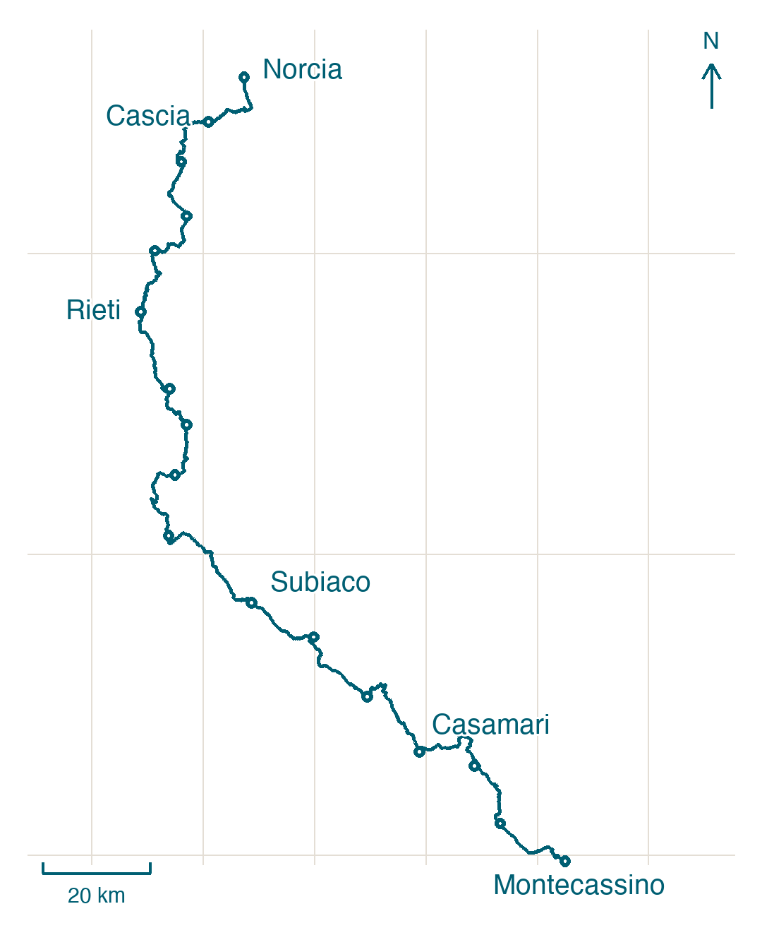
Cammino di San Benedetto map and stage distances
The official guide divides the walk from Norcia to Montecassino Abbey into 16 stages. Compare its distances with the tracks you can follow in Appy. The route organizer also lists variants for Casamari–Arpino and Arpino–Roccasecca.
| Stage | Guide (km) | Appy (km) |
|---|---|---|
| 1. Norcia → Cascia | 17.25 | 17.3 |
| 2. Cascia → Monteleone di Spoleto | 17.52 | 17.8 |
| 3. Monteleone di Spoleto → Leonessa | 12.58 | 13.4 |
| 4. Leonessa → Poggio Bustone | 14.23 | 14 |
| 5. Poggio Bustone → Rieti | 17 | 17.3 |
| 6. Rieti → Rocca Sinibalda | 20.34 | 20.3 |
| 7. Rocca Sinibalda → Castel di Tora | 15 | 13.8 |
| 8. Castel di Tora → Orvinio | 13.62 | 13.7 |
| 9. Orvinio → Mandela | 20.19 | 21.9 |
| 10. Mandela → Subiaco | 32 | 29.2 |
| 11. Subiaco → Trevi nel Lazio | 17 | 17.1 |
| 12. Trevi nel Lazio → Collepardo | 21.92 | 21.9 |
| 13. Collepardo → Casamari | 24.88 | 24.9 |
| 14. Casamari → Arpino | 15.72 | 21.9 |
| 15. Arpino → Roccasecca | 19.32 | 17.7 |
| 16. Roccasecca → Montecassino | 18.76 | 18.8 |
| Total | 297.33 | 301 |
Compare all 16 stages in a spreadsheet (XLSX, Italian, November 2026)
About
Three hundred kilometers from Norcia to Cassino, 16 stages of history, faith, and nature. The Cammino di San Benedetto traces the steps of St.
Benedict, founder of Western monasticism, through valleys and rugged hills. You’ll climb 7,860 meters, feeling the cool air shift as you reach each peak.
Key waypoints like Cantalice and Montecassino are more than stops; they’re invitations to pause and reflect. April to June and September to October are ideal for this journey, when the wildflowers bloom and the air carries the scent of earth after rain.
Stages
16 stages
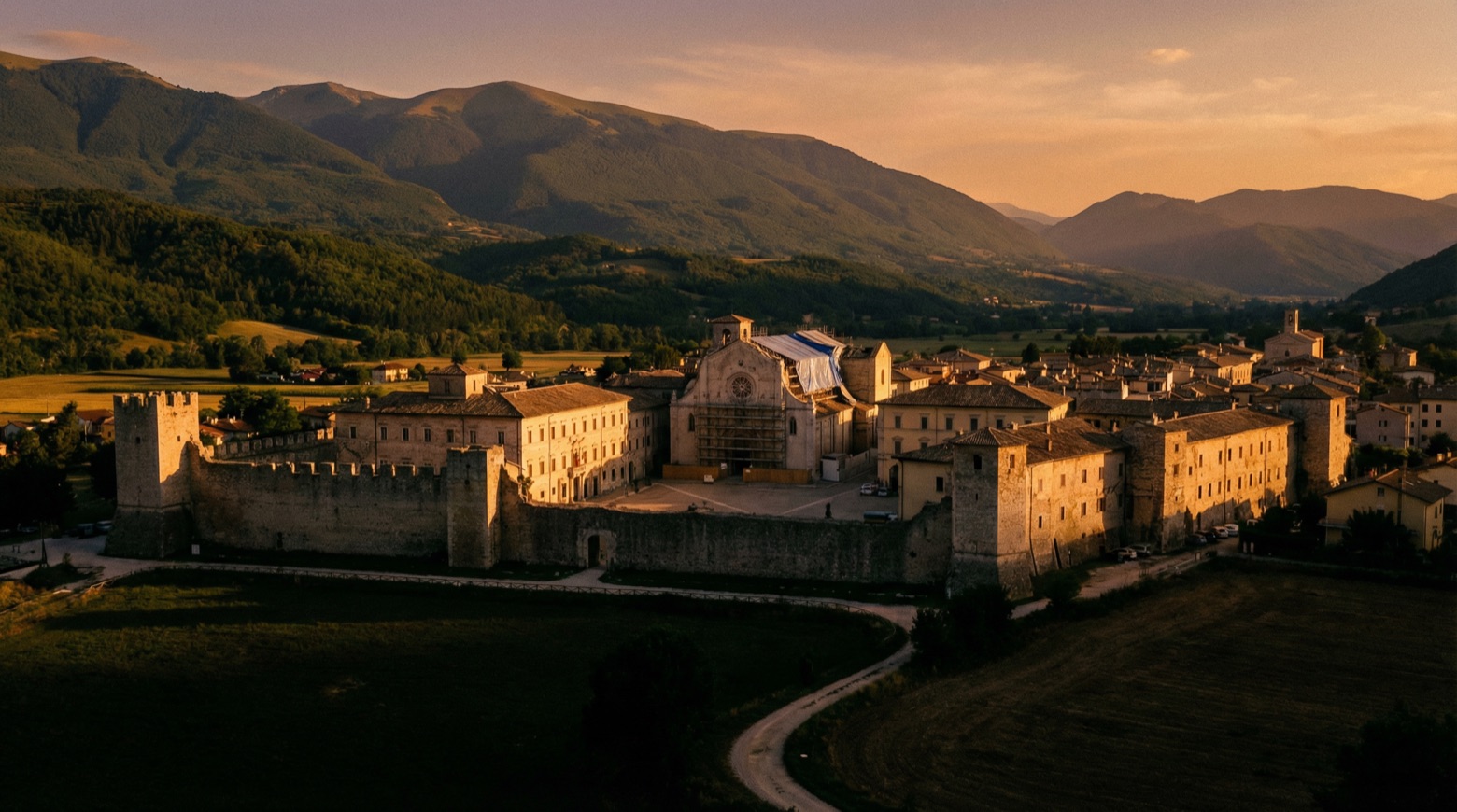 Stage 1
Norcia → Cascia
moderate- Distance
- 17 km
- Ascent
- 494 m
- Descent
- 456 m
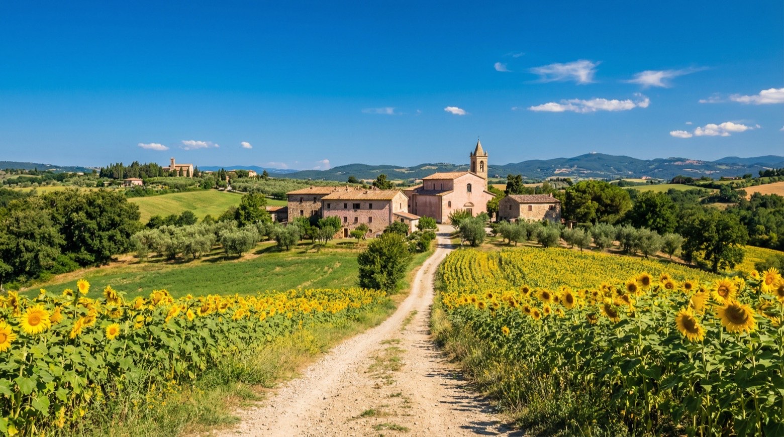 Stage 2
Cascia → Monteleone di Spoleto
moderate- Distance
- 18 km
- Ascent
- 832 m
- Descent
- 519 m
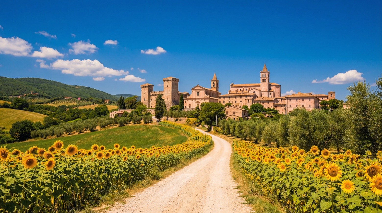 Stage 3
- Distance
- 13 km
- Ascent
- 218 m
- Descent
- 213 m
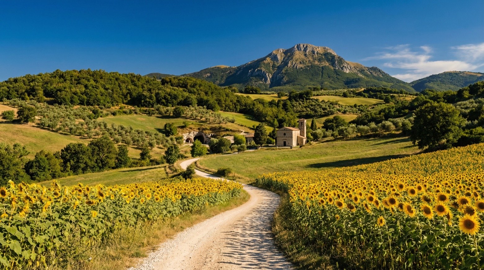 Stage 4
Leonessa → Poggio Bustone
moderate- Distance
- 14 km
- Ascent
- 758 m
- Descent
- 875 m
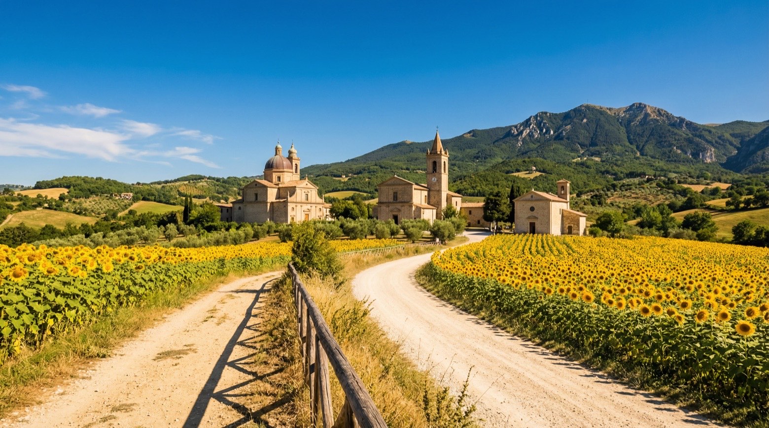 Stage 5
Poggio Bustone → Rieti
moderate- Distance
- 17 km
- Ascent
- 341 m
- Descent
- 798 m
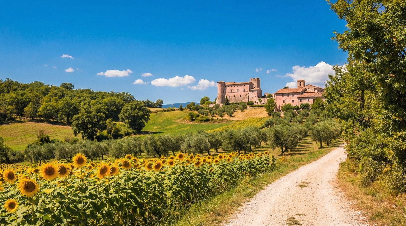 Stage 6
- Distance
- 20 km
- Ascent
- Estimated 812 m
- Descent
- Estimated 710 m
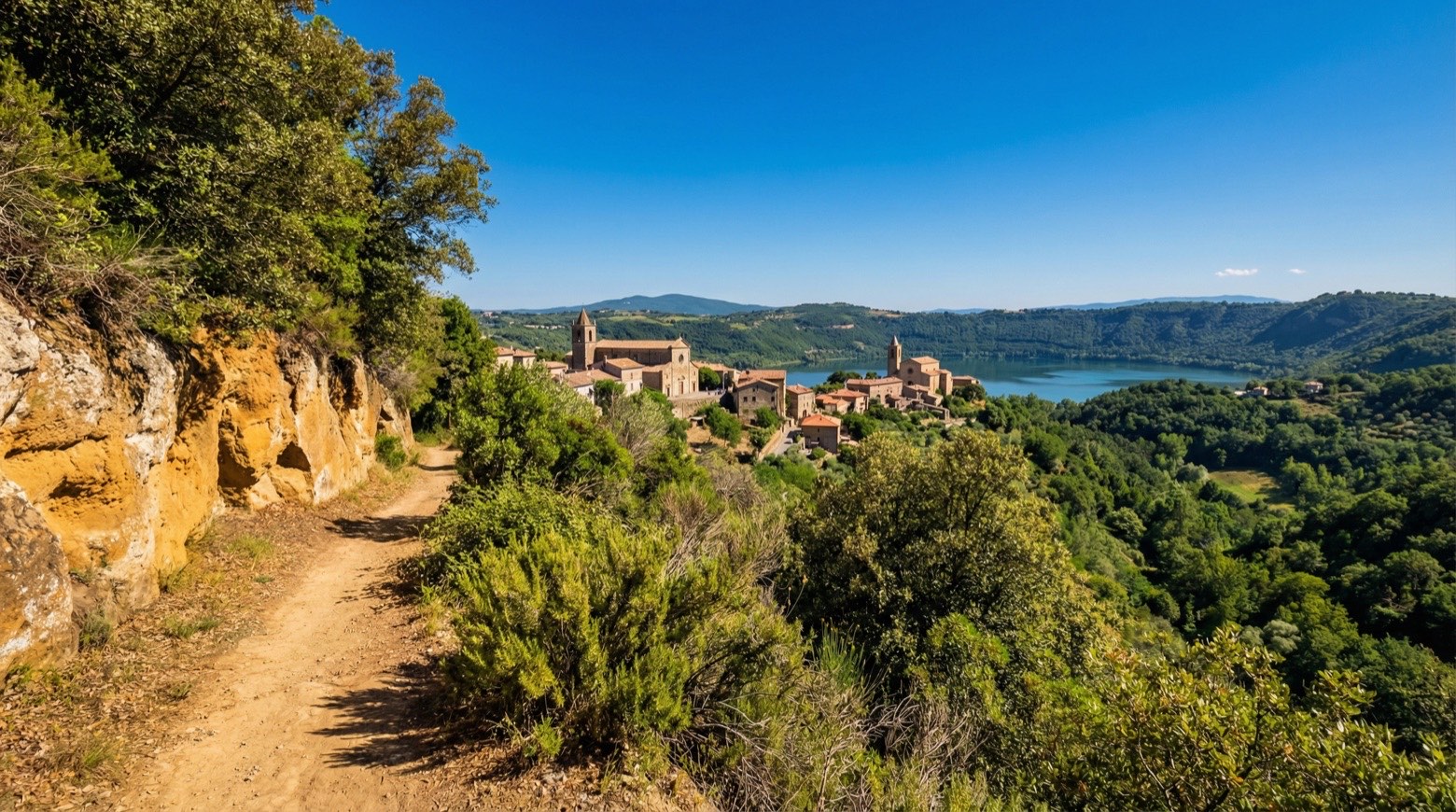 Stage 7
Rocca Sinibalda → Castel di Tora
moderate- Distance
- 14 km
- Ascent
- 497 m
- Descent
- 480 m
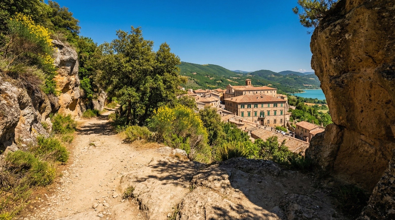 Stage 8
Castel di Tora → Orvinio
moderate- Distance
- 14 km
- Ascent
- 805 m
- Descent
- 567 m
- Stage 9
Orvinio → Mandela
moderate- Distance
- 22 km
- Ascent
- 658 m
- Descent
- 1029 m
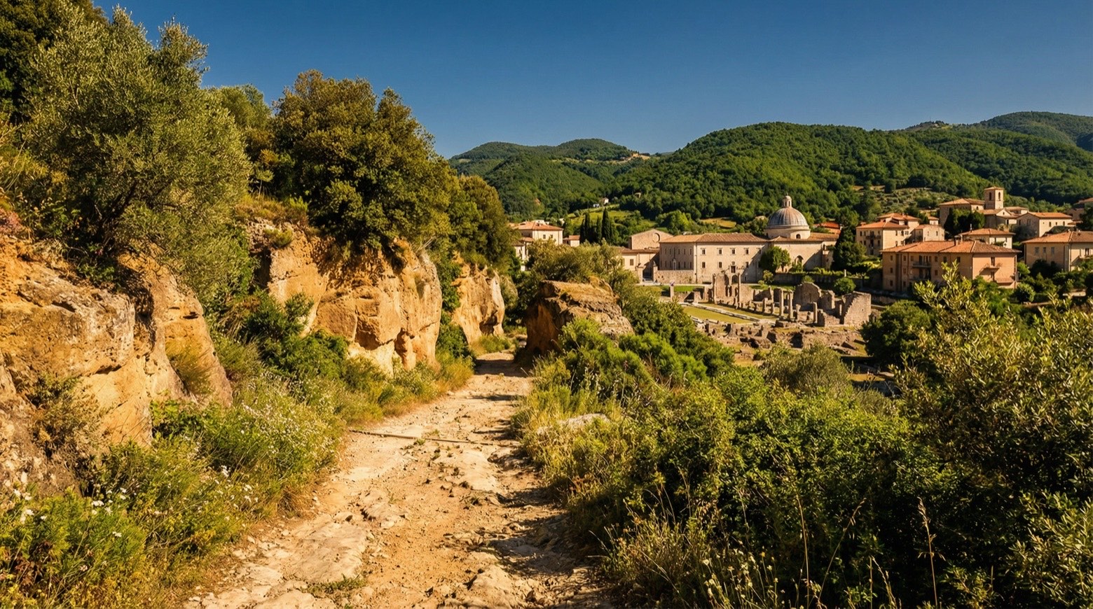 Stage 10
Mandela → Subiaco
moderate- Distance
- 29 km
- Ascent
- 343 m
- Descent
- 323 m
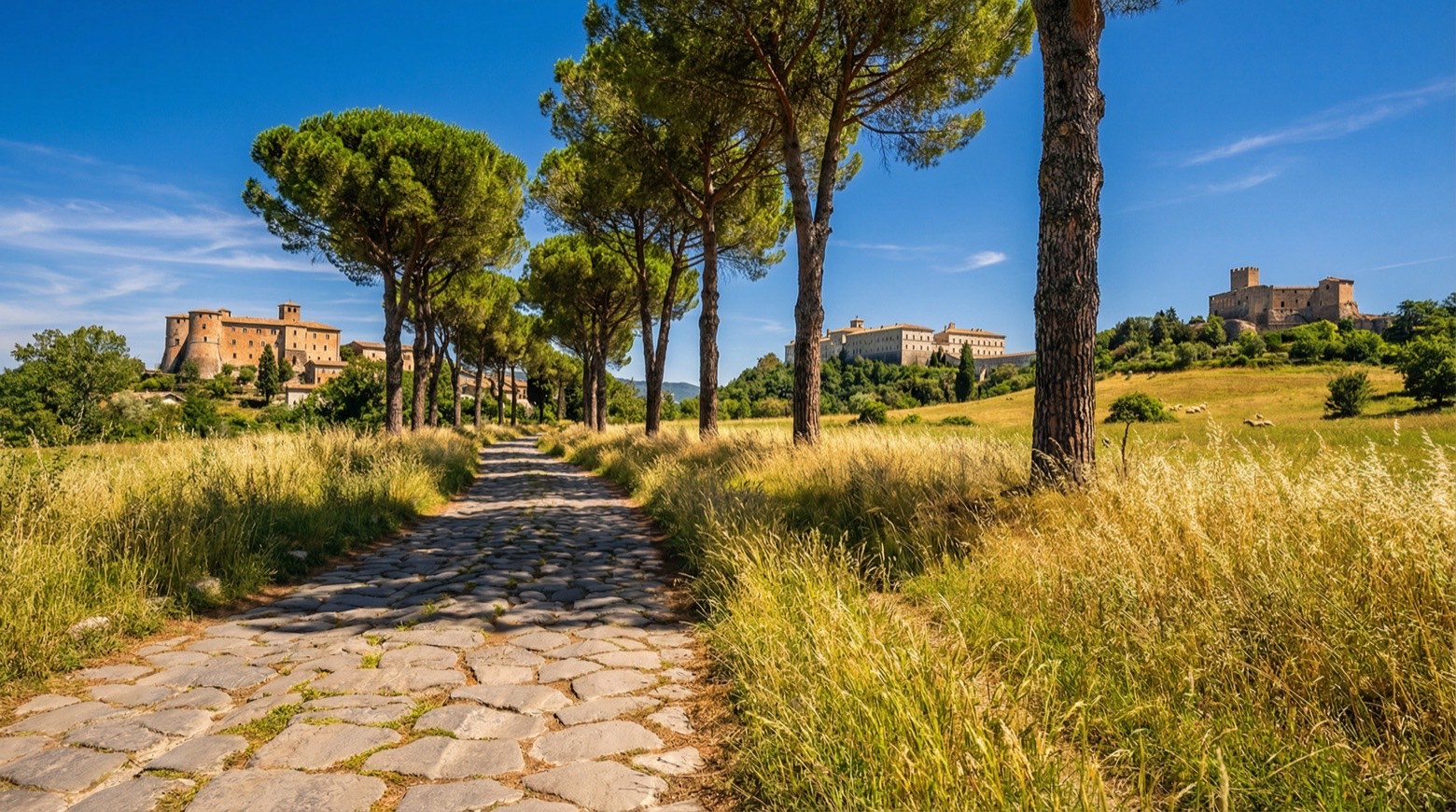 Stage 11
Subiaco → Trevi nel Lazio
moderate- Distance
- 17 km
- Ascent
- 651 m
- Descent
- 394 m
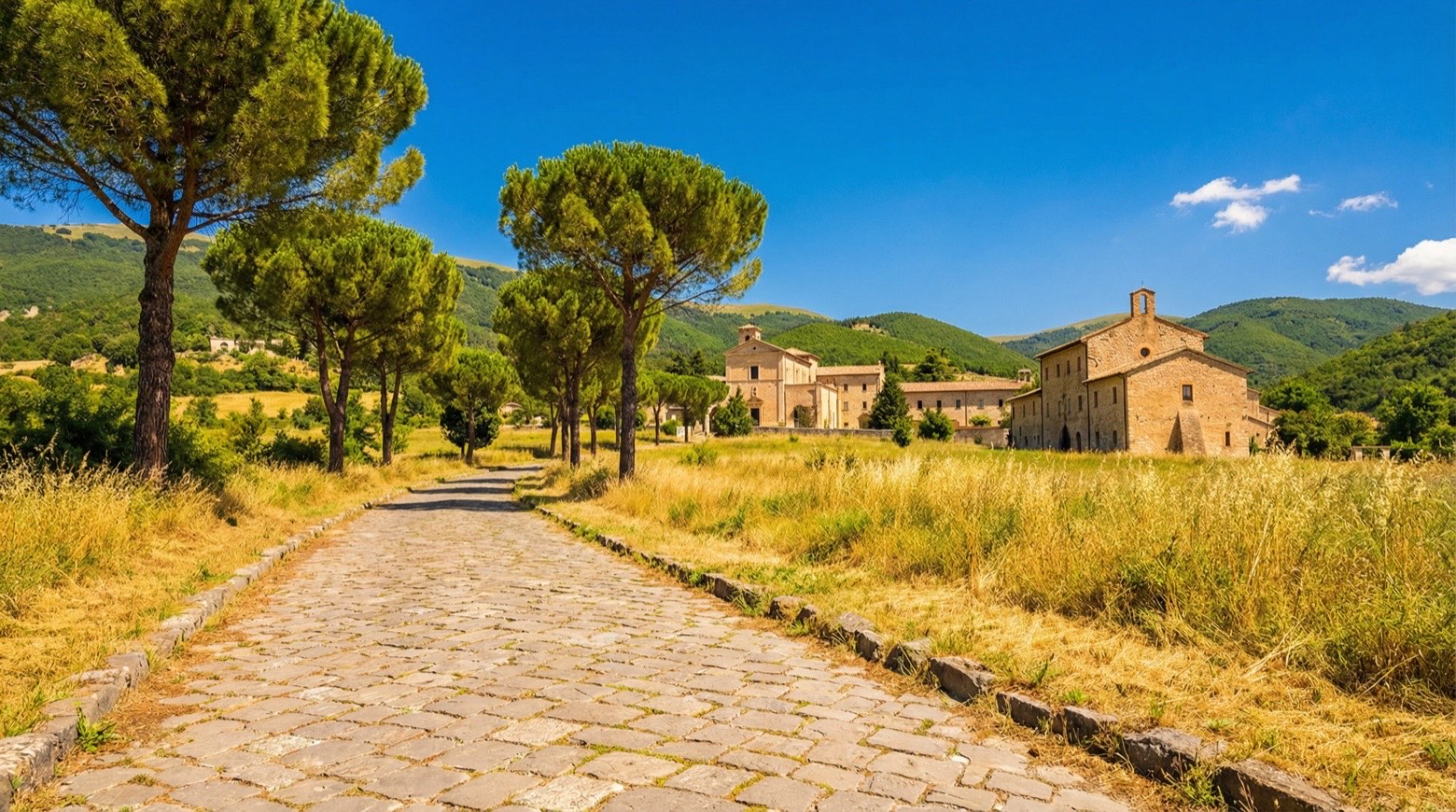 Stage 12
- Distance
- 22 km
- Ascent
- Estimated 876 m
- Descent
- Estimated 766 m
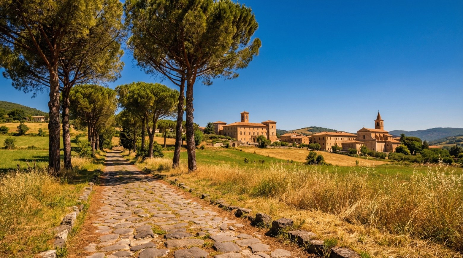 Stage 13
Collepardo → Casamari
moderate- Distance
- 25 km
- Ascent
- 704 m
- Descent
- 1008 m
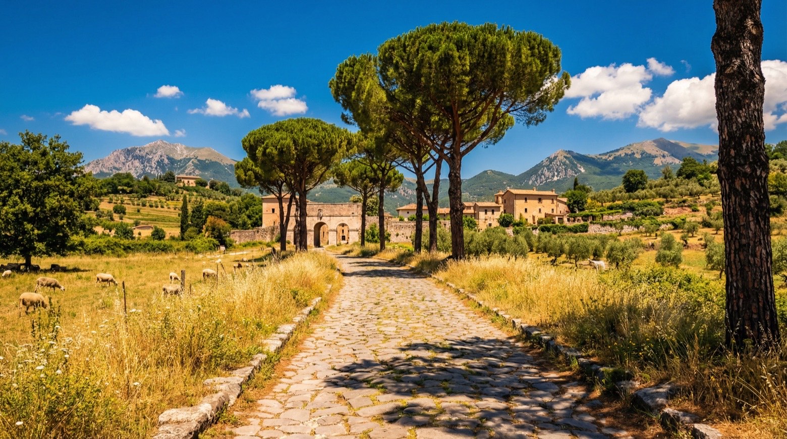 Stage 14
Casamari → Arpino
moderate- Distance
- 22 km
- Ascent
- 371 m
- Descent
- 194 m
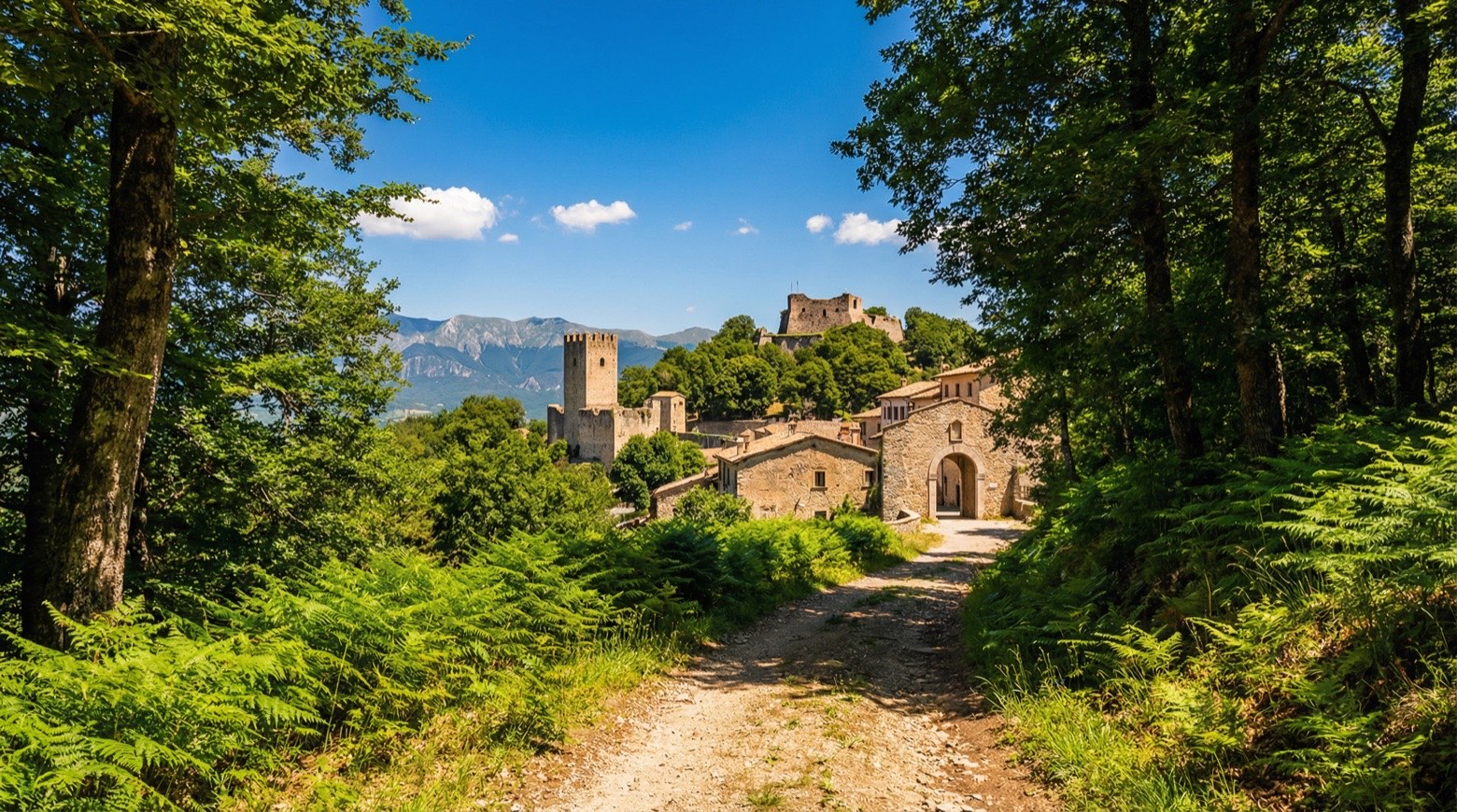 Stage 15
Arpino → Roccasecca
moderate- Distance
- 18 km
- Ascent
- 541 m
- Descent
- 770 m
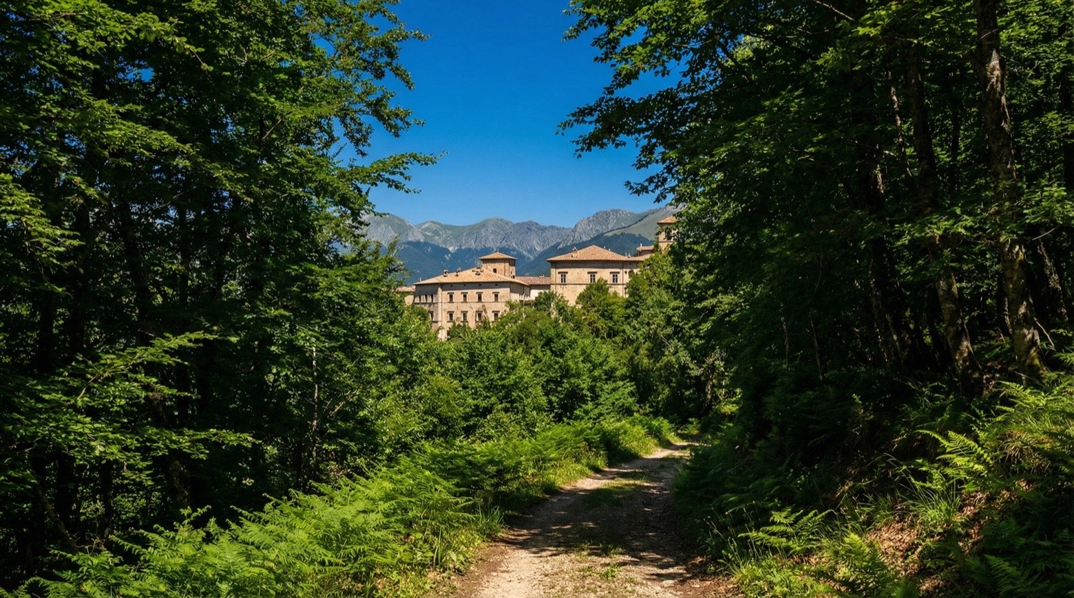 Stage 16
Roccasecca → Cassino
moderate- Distance
- 19 km
- Ascent
- 647 m
- Descent
- 426 m
Points of interest
- Cathedral
The city's mother church, rebuilt from 1109 in place of a cathedral already recorded in 598; its crypt was consecrated in 1157.
- Acropolis of Arpino
Archaeological site, in Arpino, Italy, designated as Italian national heritage.
- Santa Maria delle Cese
Sanctuary, dedicated to Mary, in Collepardo, Italy.
- Monte Rosato
Monte Rosato is a peak of the Monti Reatini in Lazio, located in the municipality of Poggio Bustone (province of Rieti).
- Palazzo Dosi Delfini
Palazzo Dosi Delfini, formerly Vincentini, is a palace in Rieti. It is located on Piazza Vittorio Emanuele II, near the entrance of Via Cintia.
- Palazzo Vincenti Mareri
Palazzo Vincenti Mareri is a historic building in Rieti.
- Palazzo Vincentini
Palazzo Vincentini, sometimes mistakenly called Vicentini and also referred to as Palazzo della Prefettura or Palazzo del Governo, is a historic building in the city of Rieti, currently housing the…
- Palazzo Vecchiarelli
Palazzo Vecchiarelli is a palace in Rieti. It is located halfway along via Roma, next to the former church of San Pietro.
Travel
Find connections for your cammino.
Search trainsMore walks in Italy
Plan your walking trip
All articles and guidesHow to choose a walking route: stages, days and ascent
How many days can you actually spend walking? Start there, then choose stages that leave you time to stop along the way.
How to plan a walking trip by train and bus
Two different stations, a last bus and a backpack. Fit the journeys out and home around the days you want to spend walking.
Take your walk with you: download Appy
Cammino di San Benedetto. Explore maps, stages and elevation in the app, and plan your train or bus journey.

