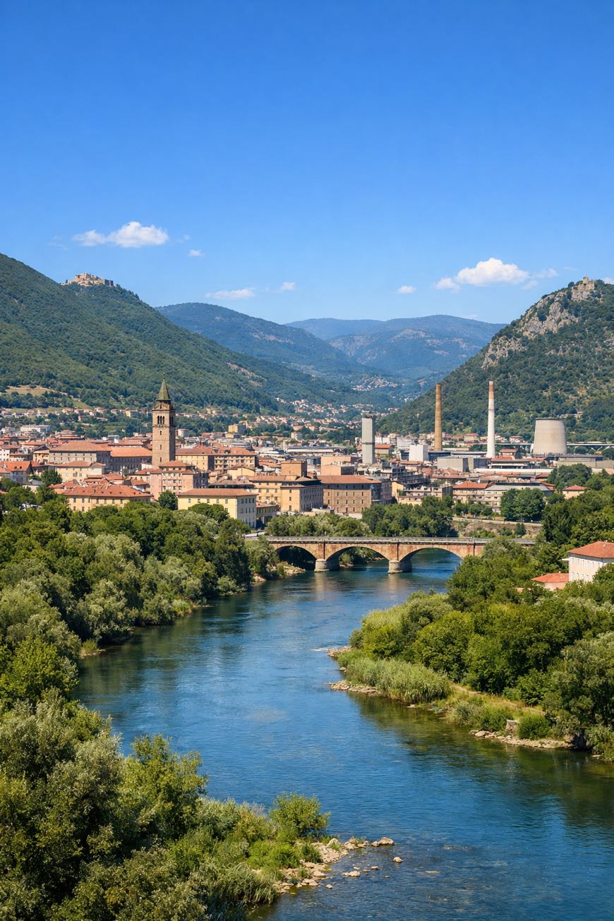
Cammino dei Protomartiri Francescani
Umbria, Italy
Italy · Terni, Italy → Terni, Italy
Distance
109 km
Stages
6
Difficulty
moderate
Best months
Apr-Jun, Sep-Oct
About
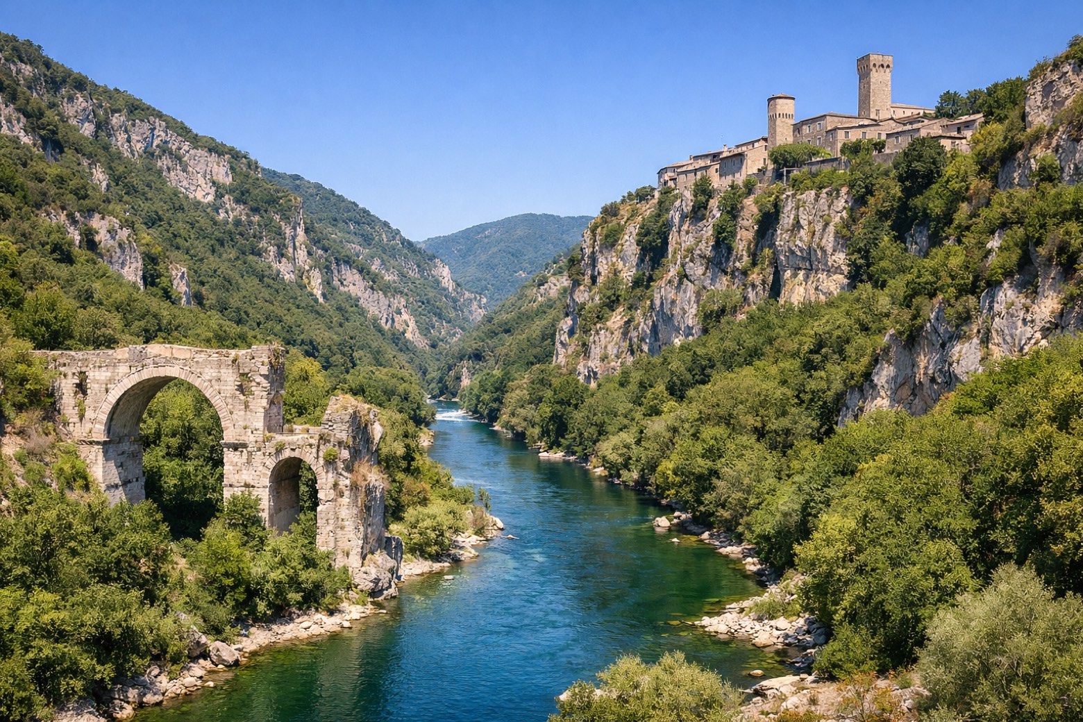
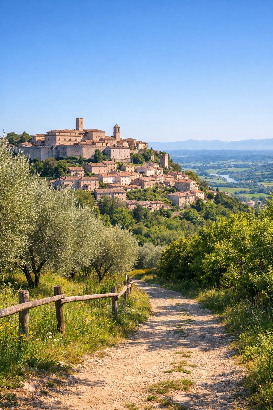
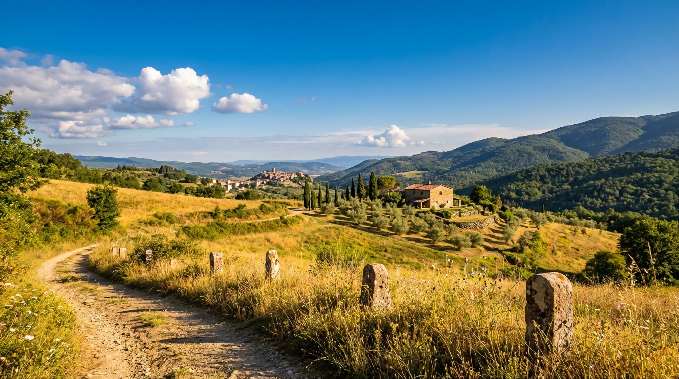
A 115-kilometer cultural walk through Umbria, where history whispers from ancient churches and the air carries the scent of wild rosemary. The Cammino dei Protomartiri Francescani unfolds in six stages, starting and ending in Terni, a town in Roman heritage.
It weaves through Perticara, Moricone, and Fongalle, each step in Franciscan significance. With a total elevation gain of 1,568 meters, this route offers a moderate challenge, inviting beginners year-round to traverse rolling hills and vibrant valleys, where every turn reveals a new story.
Stages
6 stages
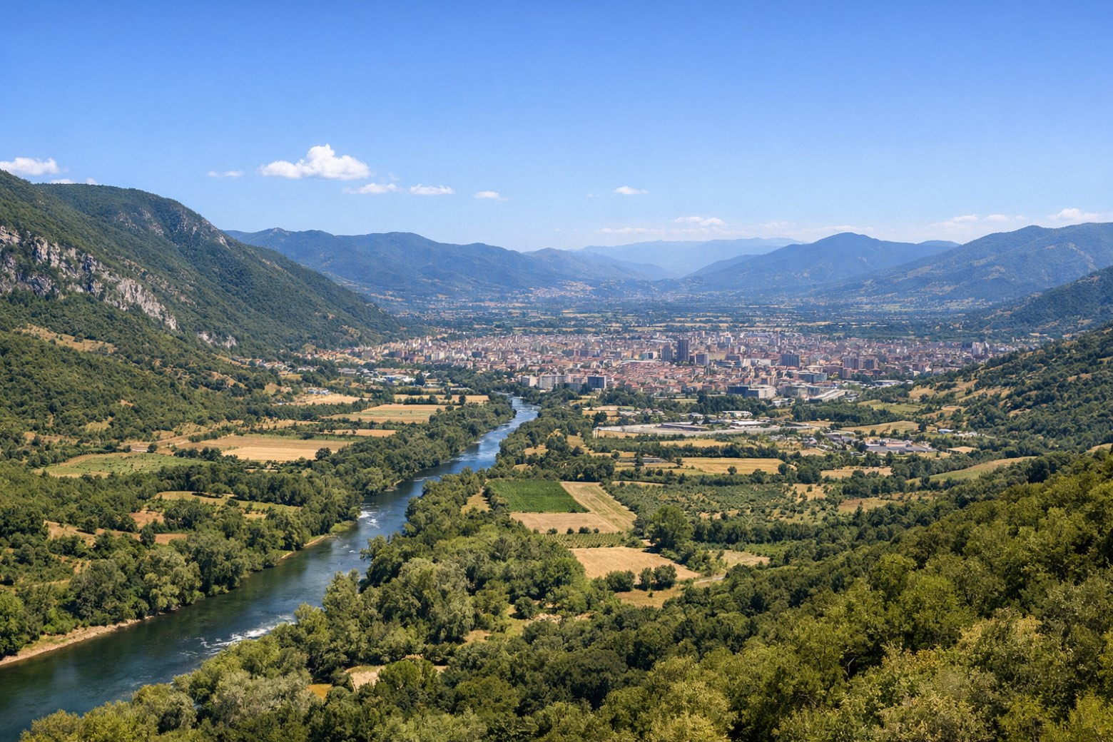 Stage 1Distance11 kmAscent264 mDescent49 m
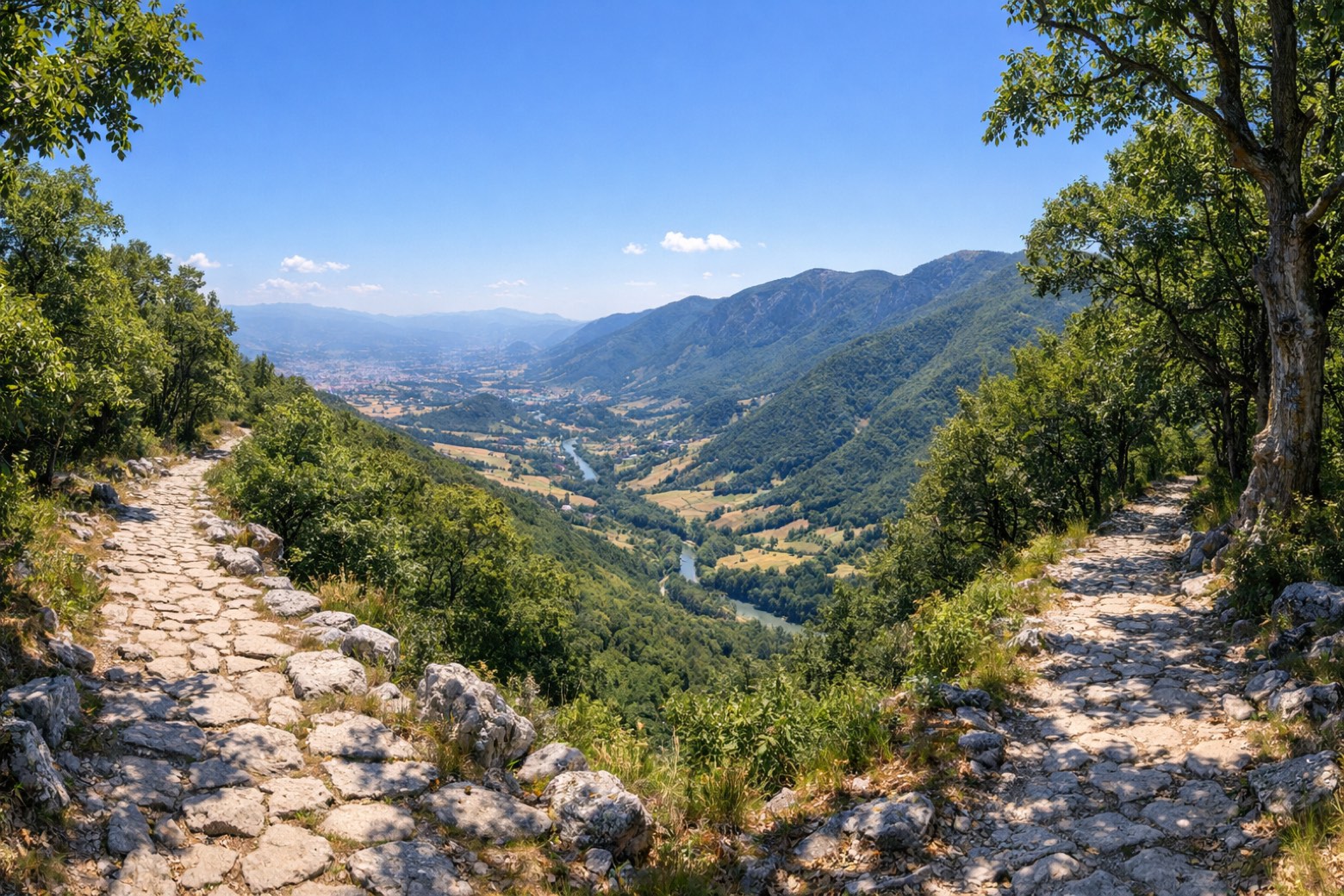 Stage 2
Stroncone → Calvi dell'Umbria
moderateDistance21 kmAscent578 mDescent542 m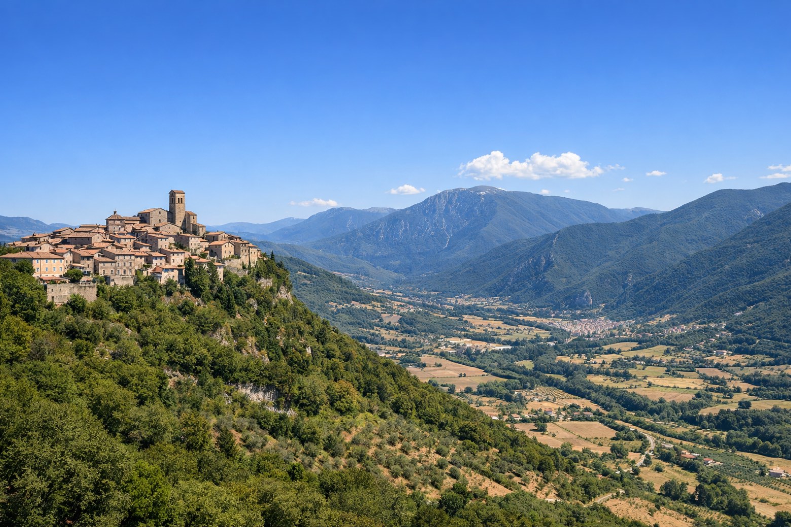 Stage 3
Calvi dell'Umbria → Narni
moderateDistance28 kmAscent339 mDescent529 m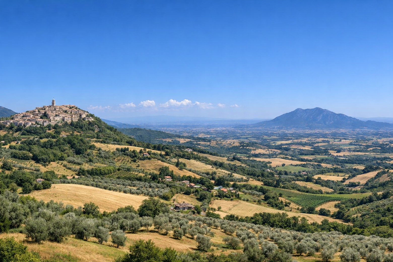 Stage 4
Narni → San Gemini
moderateDistance20 kmAscent327 mDescent190 m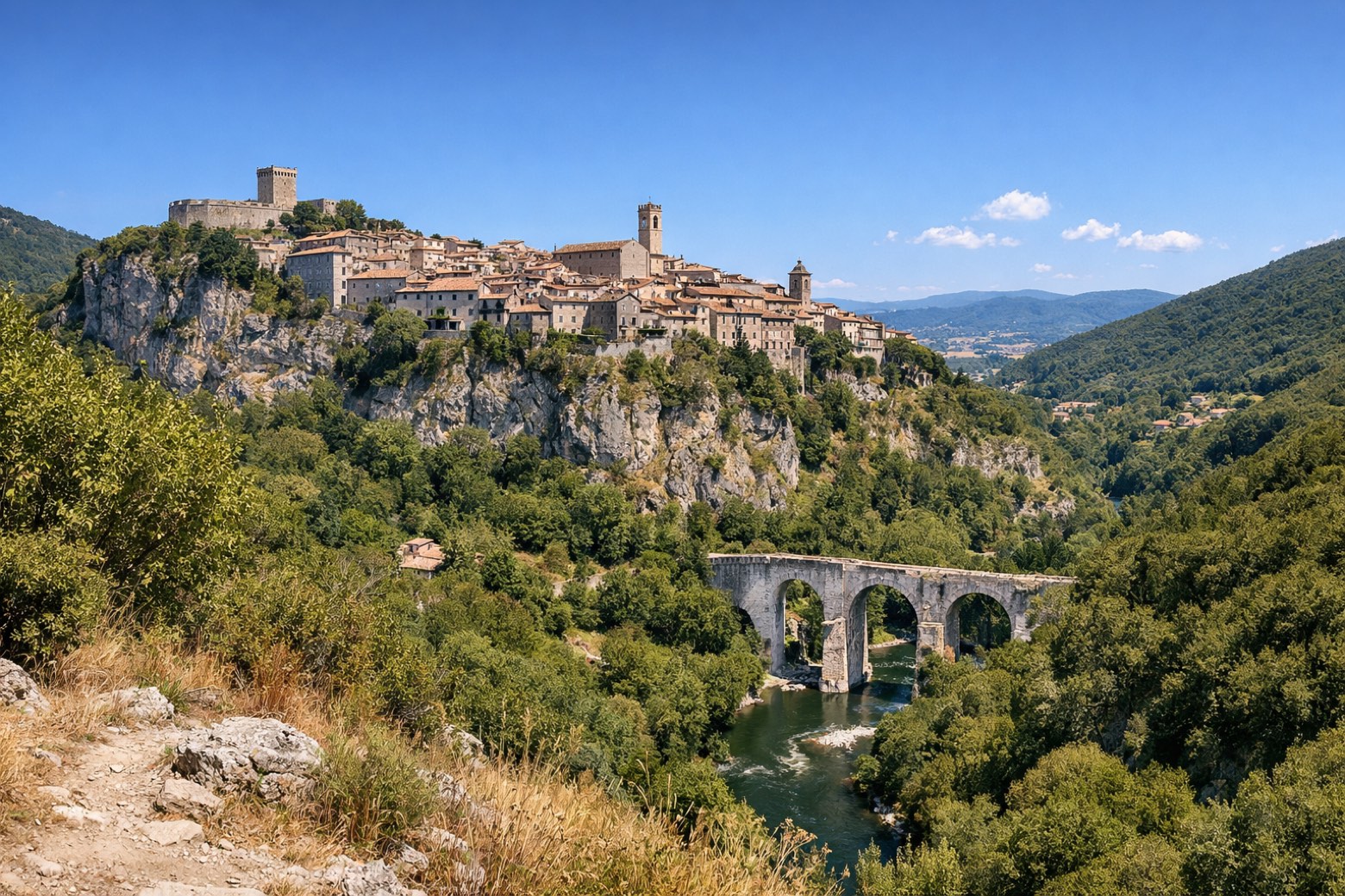 Stage 5Distance12 kmAscent55 mDescent250 m
 Stage 6
Cesi → Terni
easyDistance17 kmAscent5 mDescent5 m
Points of interest
- Sant'Antonio di Padova
Sant'Antonio di Padova. 20th-century sanctuary in Renaissance Revival style, dedicated to Anthony of Padua, designed by Cesare Bazzani, in Terni, Italy.
- Torre Maggiore Mount
Torre Maggiore Mount. Natural landmark, in province of Terni, Italy, at 1,121 m elevation, built in limestone.
- Mount Argento
- Sant'Agnese
- Interamna Nahars
- Palazzo del Governo
Palazzo del Governo. Palace, designed by Cesare Bazzani, in Terni, Italy.
- San Tommaso
San Tommaso. Museum, in Terni, Italy, designated as Italian national heritage.
- Torre Barbarasa
Torre Barbarasa. Tower, in Terni, Italy, designated as Italian national heritage.
Travel
Find connections for your cammino.
Search trainsMore walks in Italy
Plan your walking trip
How to choose a walking route: stages, days and ascent
Choose a walking route by comparing daily stages, available days, ascent and transport links. Practical planning with examples from the Appy catalogue.
How to plan a walking trip by train and bus
Plan travel to and from your walk: stage endpoints, stations, stops and the connection to the trail. A practical guide to routes and transport with Appy.
Take your walk with you: download Appy
Cammino dei Protomartiri Francescani. Explore maps, stages and elevation in the app, and plan your train or bus journey.