Cammino della Magna Graecia
Calabria, Italy
Italy
Distance
365 km
Stages
16
Difficulty
moderate
Best months
Apr-Jun, Sep-Oct
About
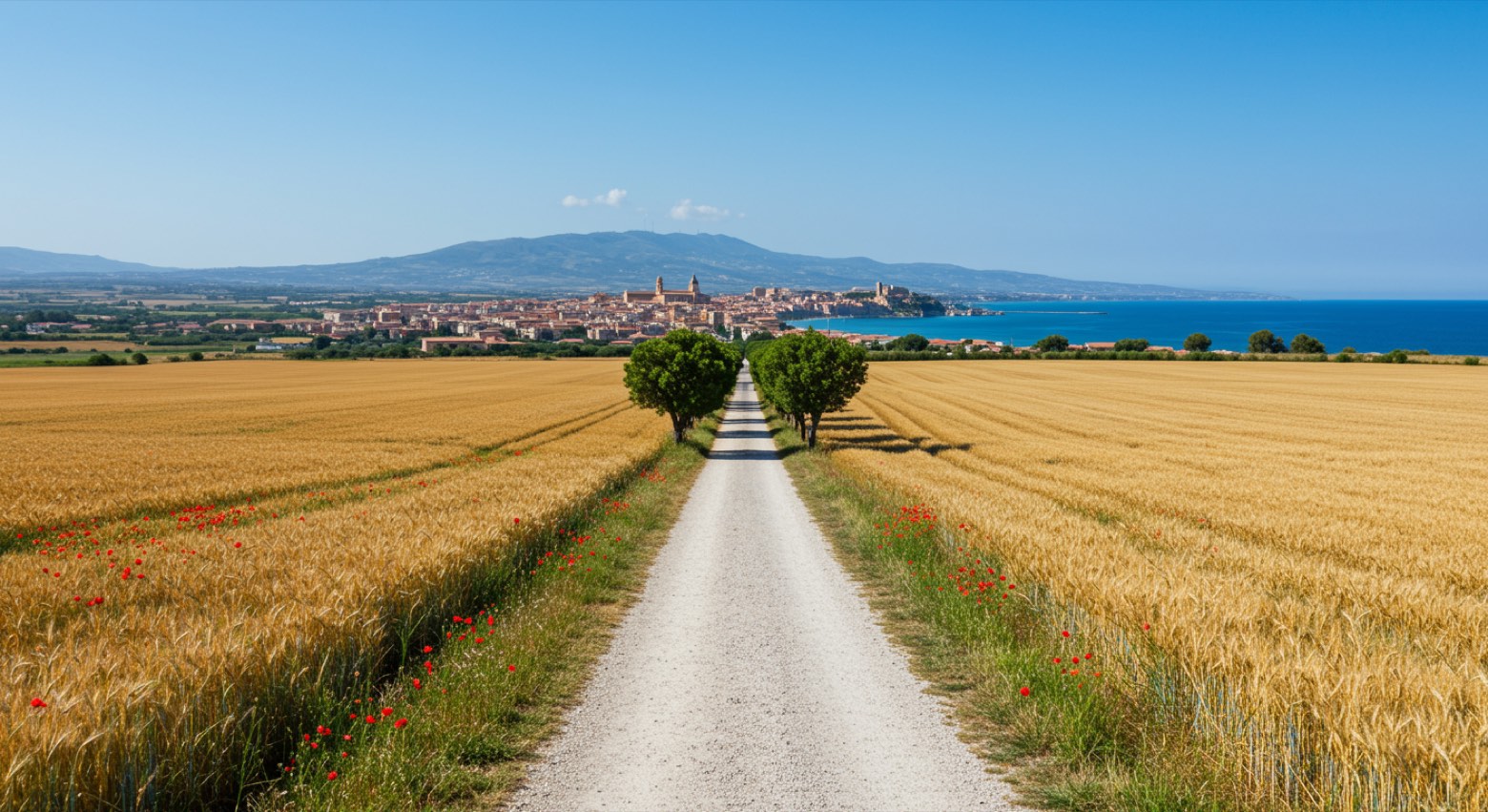
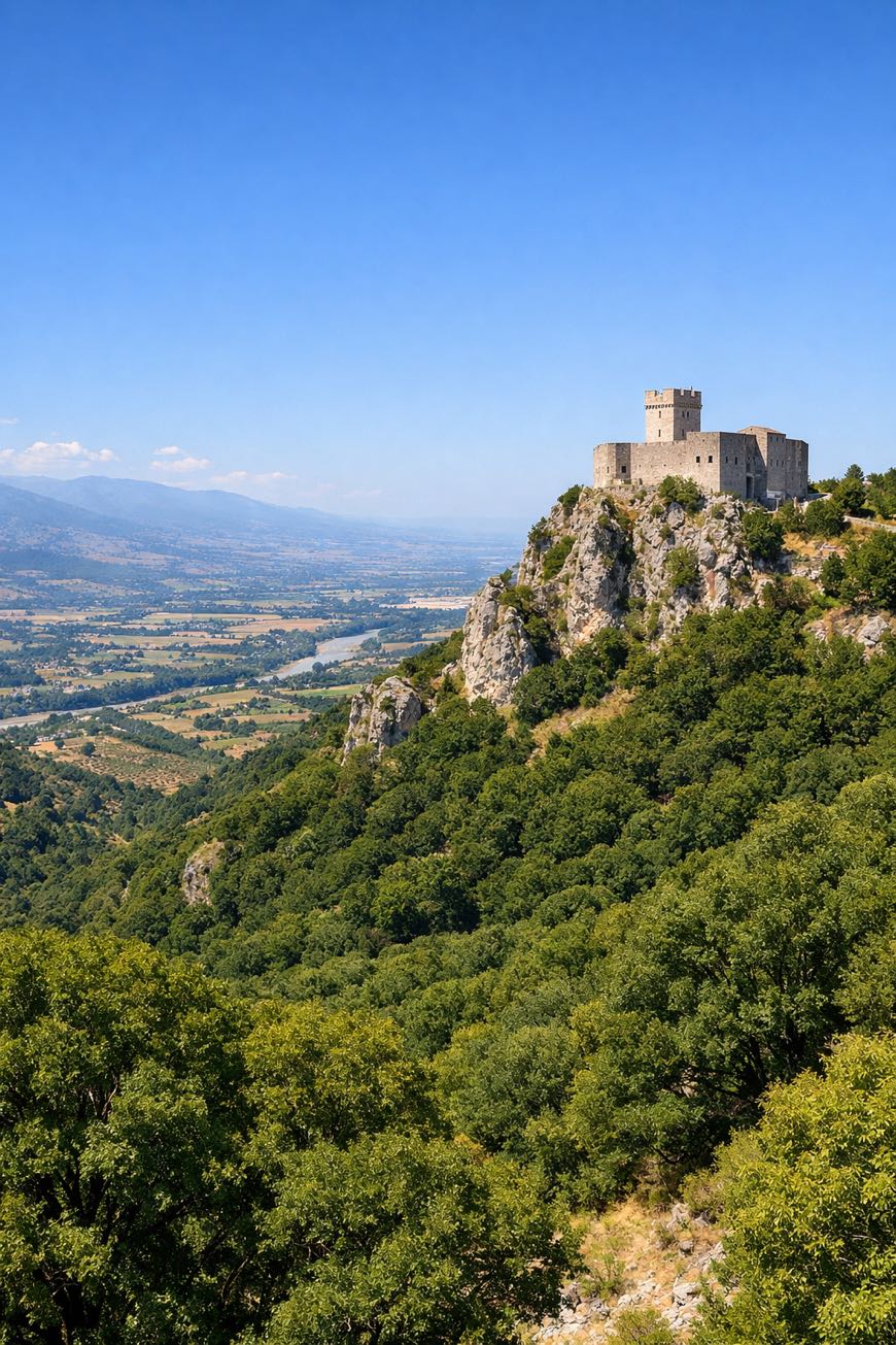
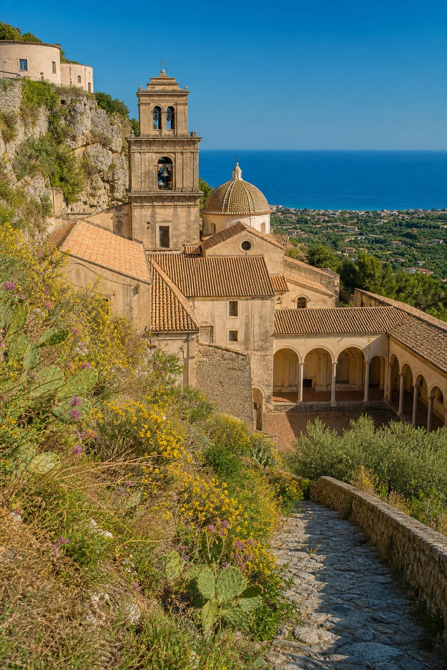
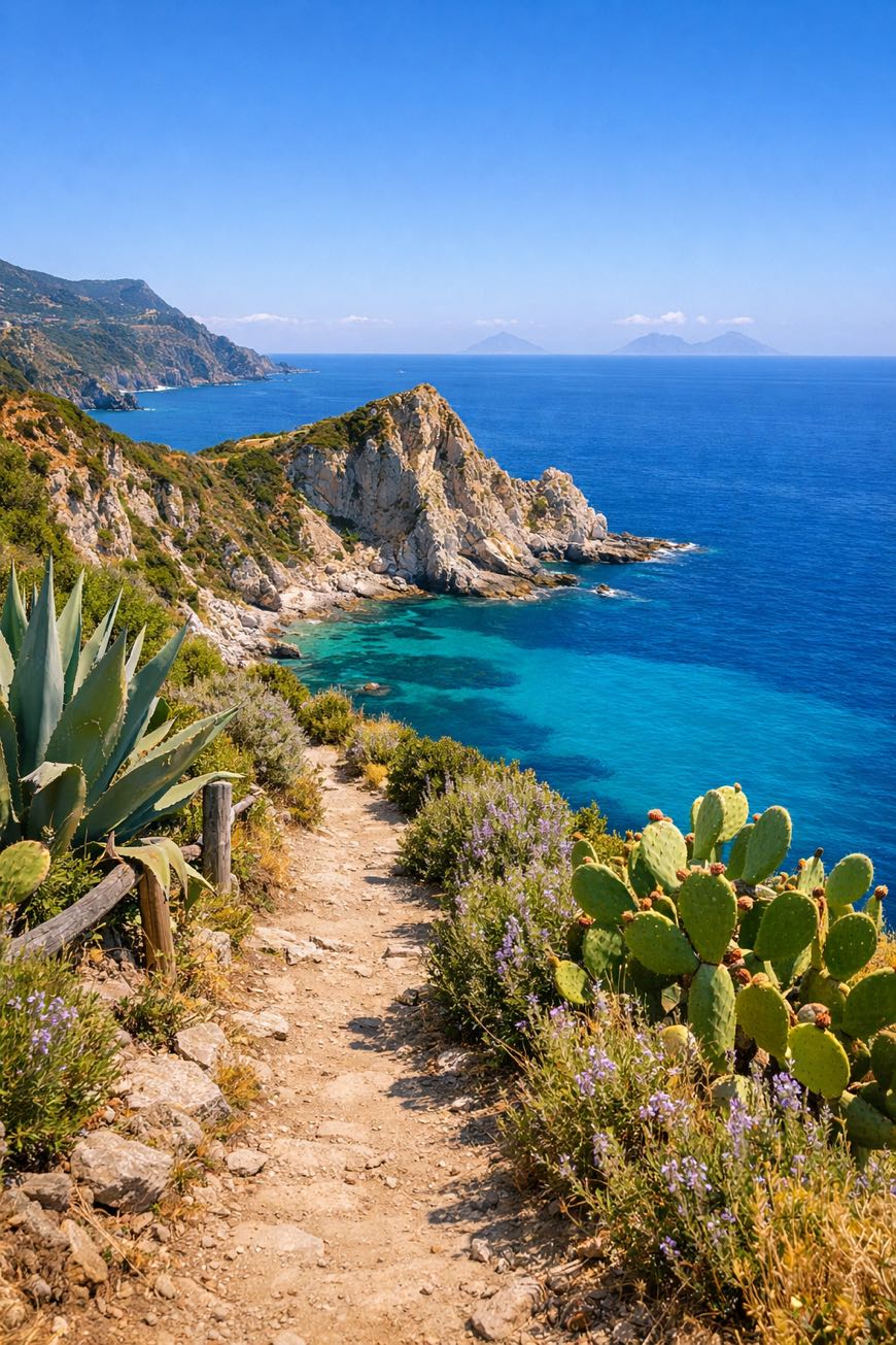
The Cammino della Magna Graecia is a loop of about 360 km in 16 stages around the province of Crotone. You leave the city of Pythagoras, climb through wine villages and arbëreshë hill towns to San Giovanni in Fiore in the Sila, then come back down past castles and shrines to the Ionian coast and the last column of the Temple of Hera Lacinia. Here's the thing: the route is not fully signed (the blue arrow with the snail marks the stretch from Marinella to Capo Colonna), so carry the GPS track and download the latest version before you go.
Stages
16 stages
- Stage 1
Crotone → Rocca di Neto
challenging- Distance
- 33 km
- Ascent
- 12 m
- Descent
- 26 m
 Stage 2
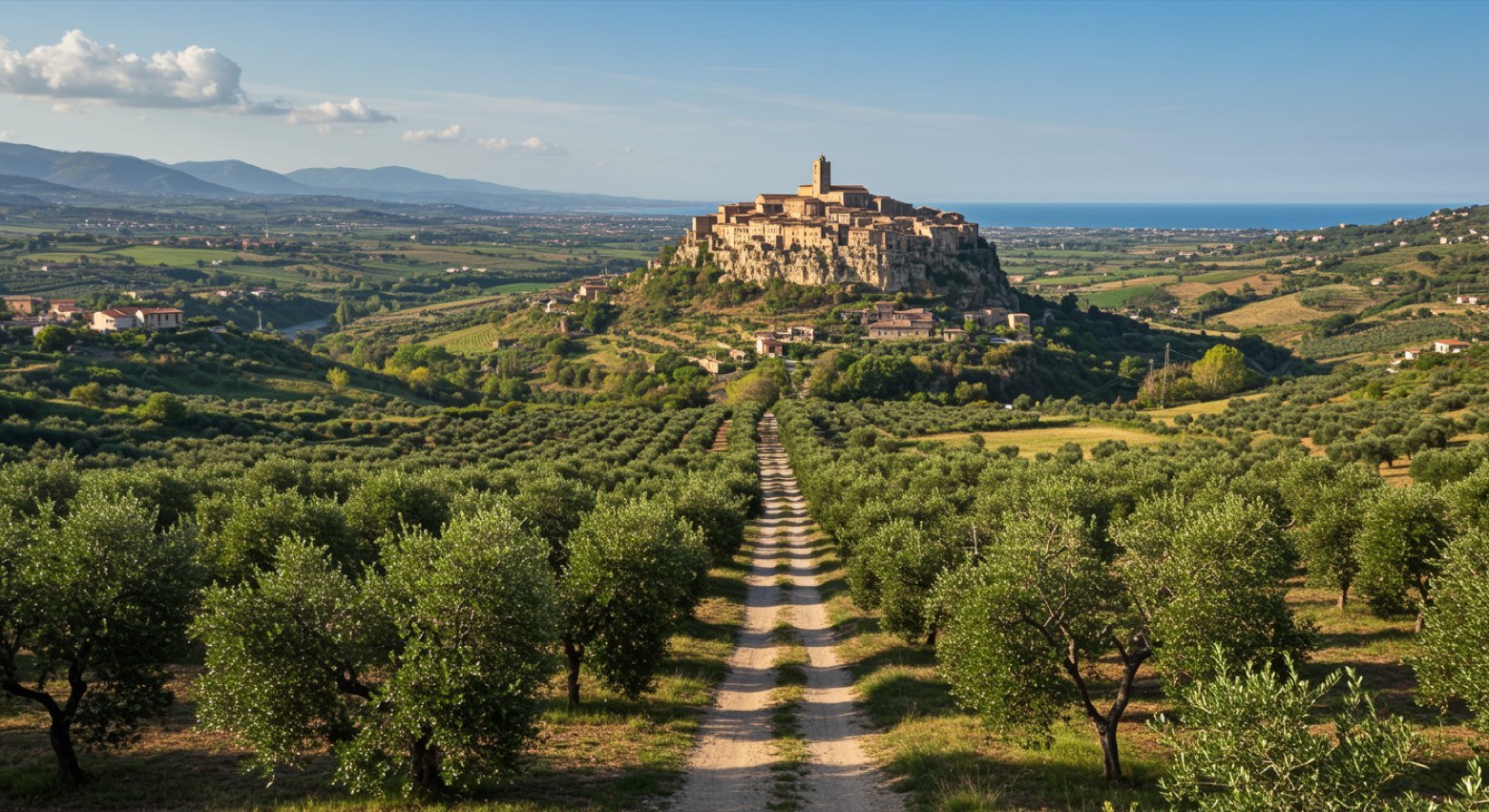
Rocca di Neto → Strongoli
moderate- Distance
- 21 km
- Ascent
- 333 m
- Descent
- 160 m
 Stage 3
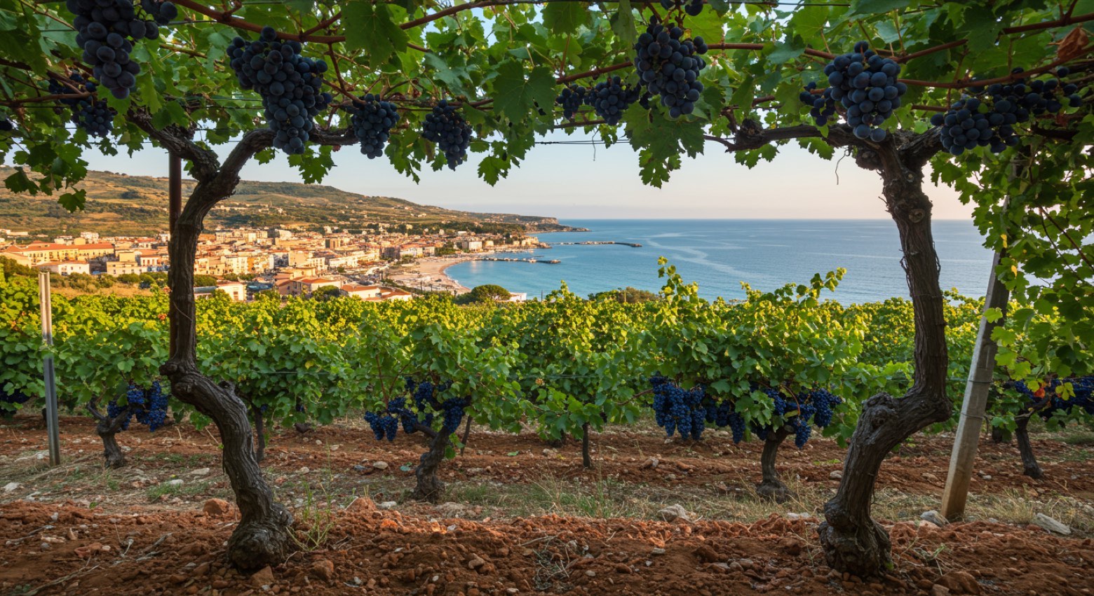
Strongoli → Cirò Marina
challenging- Distance
- 29 km
- Ascent
- 404 m
- Descent
- 686 m
 Stage 4
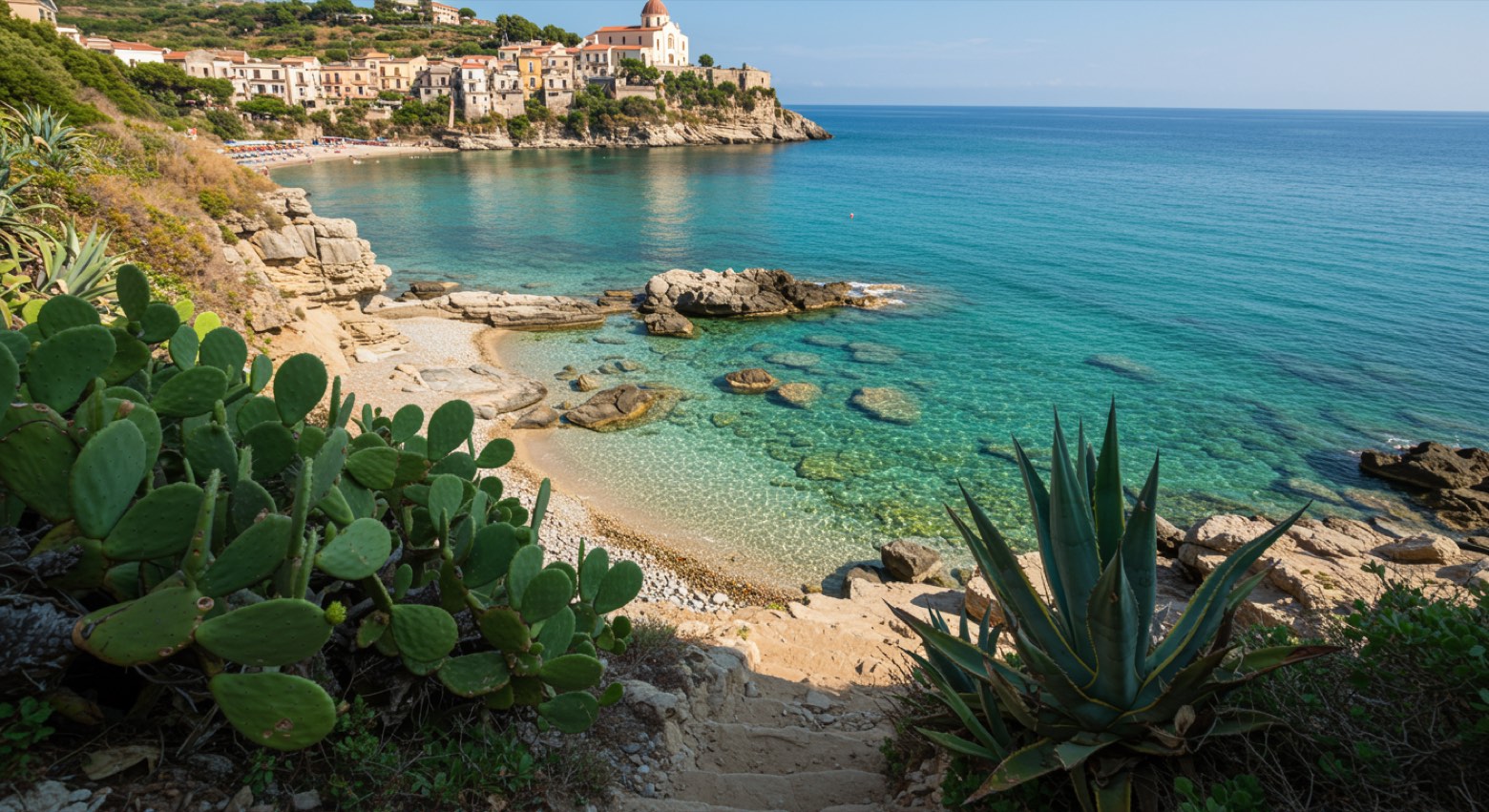
Cirò Marina → Crucoli
moderate- Distance
- 21 km
- Ascent
- 371 m
- Descent
- 45 m
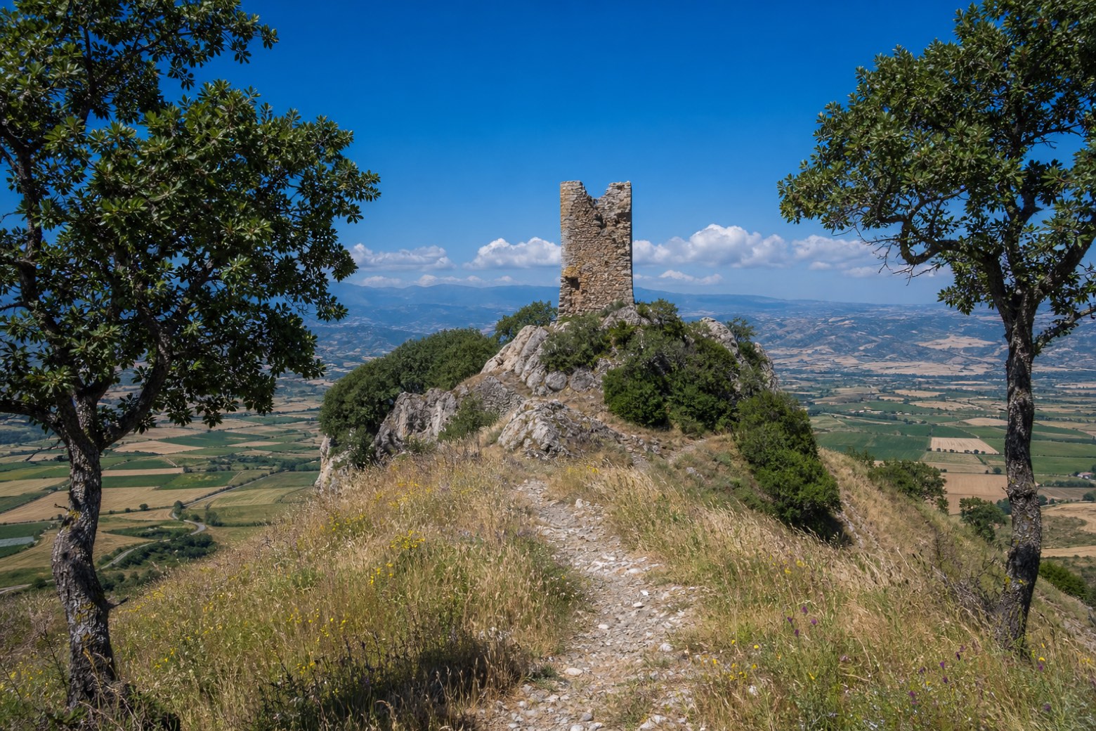 Stage 5
Crucoli → Perticaro
challenging- Distance
- 30 km
- Ascent
- 635 m
- Descent
- 303 m
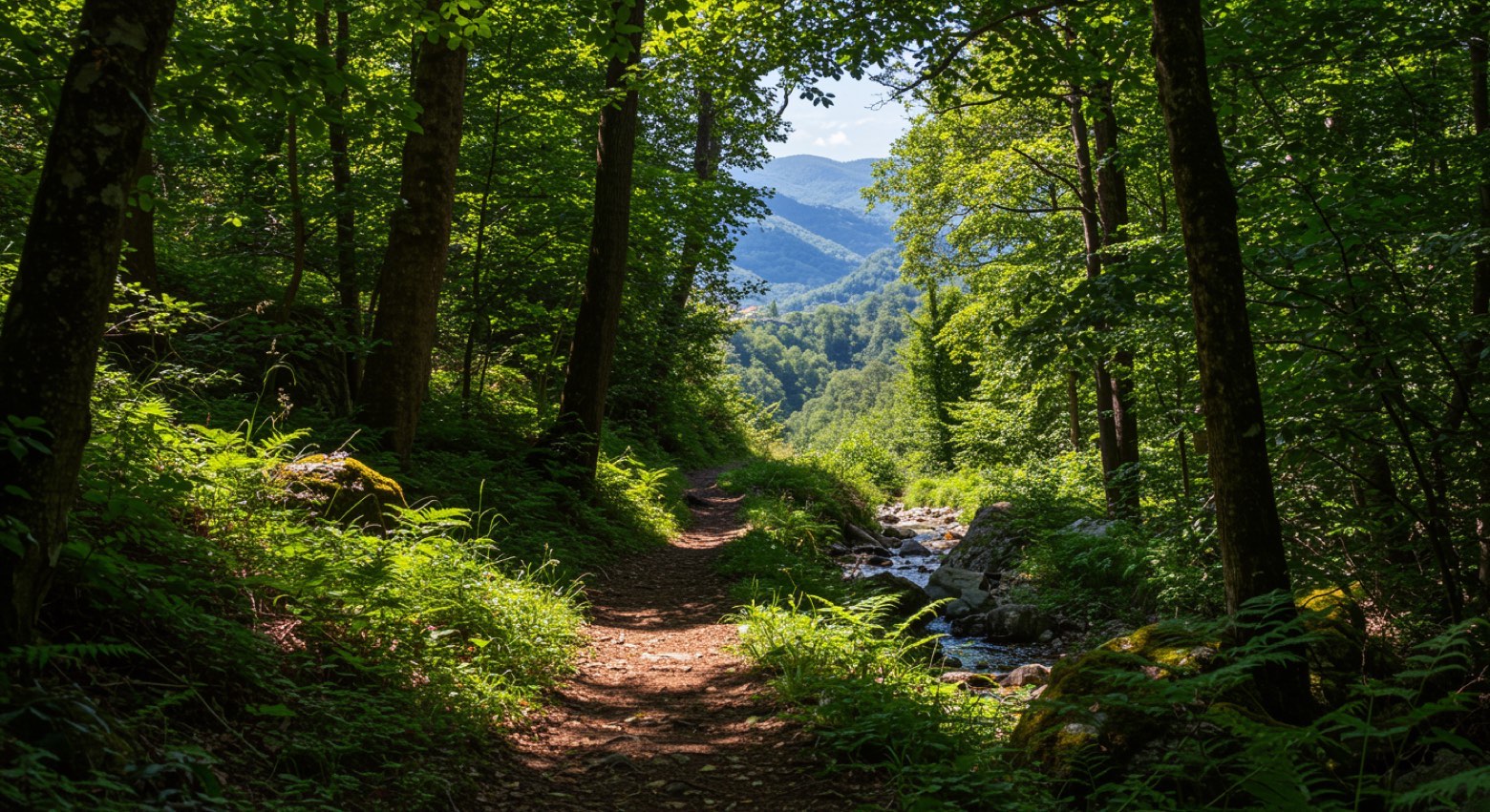 Stage 6
Perticaro → Zinga
moderate- Distance
- 16 km
- Ascent
- 322 m
- Descent
- 576 m
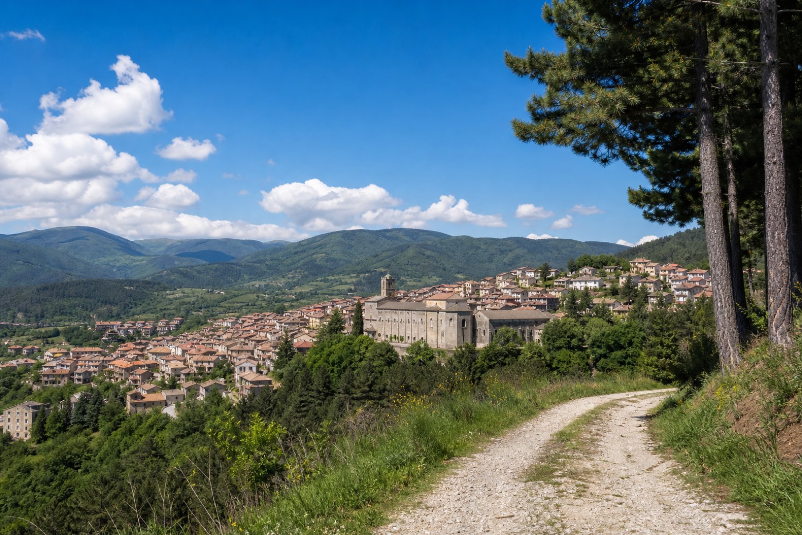 Stage 7
Zinga → San Giovanni in Fiore
challenging- Distance
- 30 km
- Ascent
- 1233 m
- Descent
- 633 m
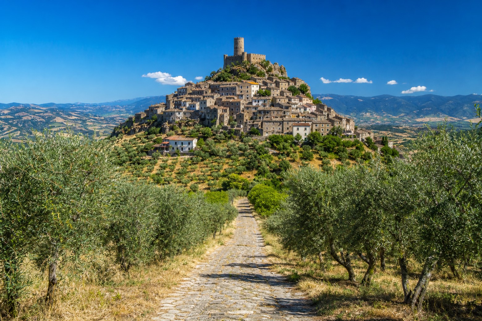 Stage 8
- Distance
- 16 km
- Ascent
- 177 m
- Descent
- 513 m
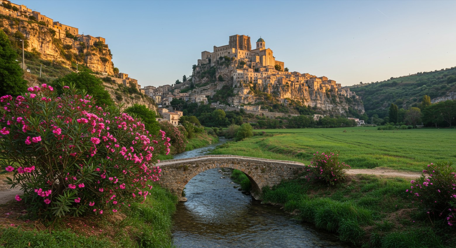 Stage 9
Caccuri → Santa Severina
challenging- Distance
- 31 km
- Ascent
- 353 m
- Descent
- 655 m
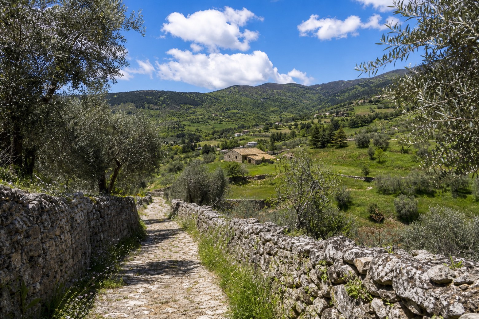 Stage 10
Santa Severina → Petilia Policastro
challenging- Distance
- 26 km
- Ascent
- 763 m
- Descent
- 474 m
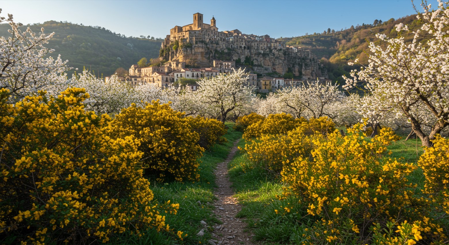 Stage 11
- Distance
- 9 km
- Ascent
- 194 m
- Descent
- 228 m
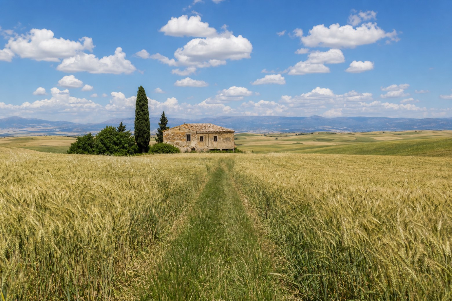 Stage 12
Mesoraca → Cutro
challenging- Distance
- 28 km
- Ascent
- 228 m
- Descent
- 542 m
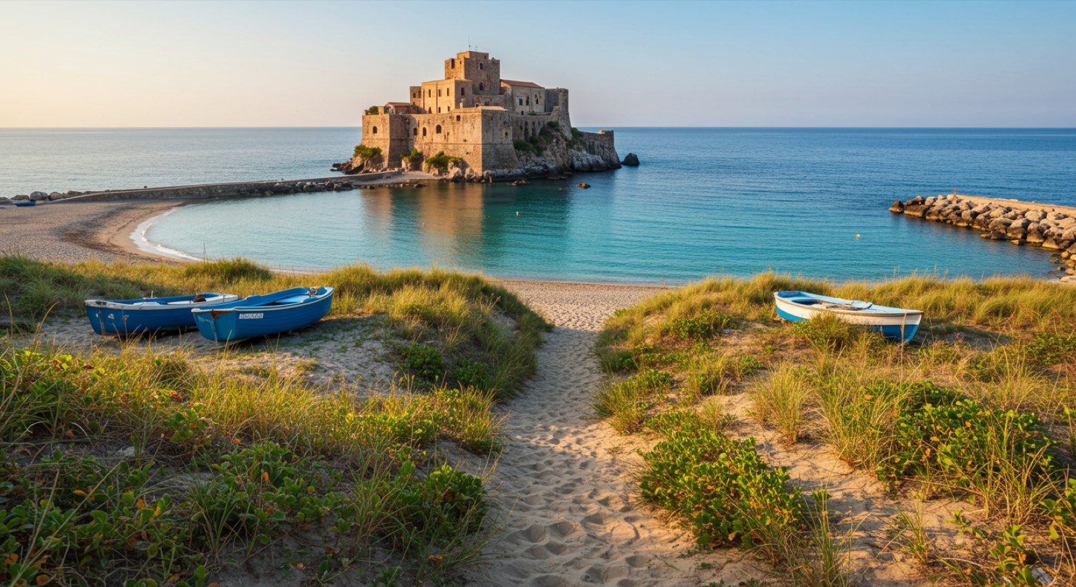 Stage 13
Cutro → Le Castella
moderate- Distance
- 18 km
- Ascent
- 31 m
- Descent
- 226 m
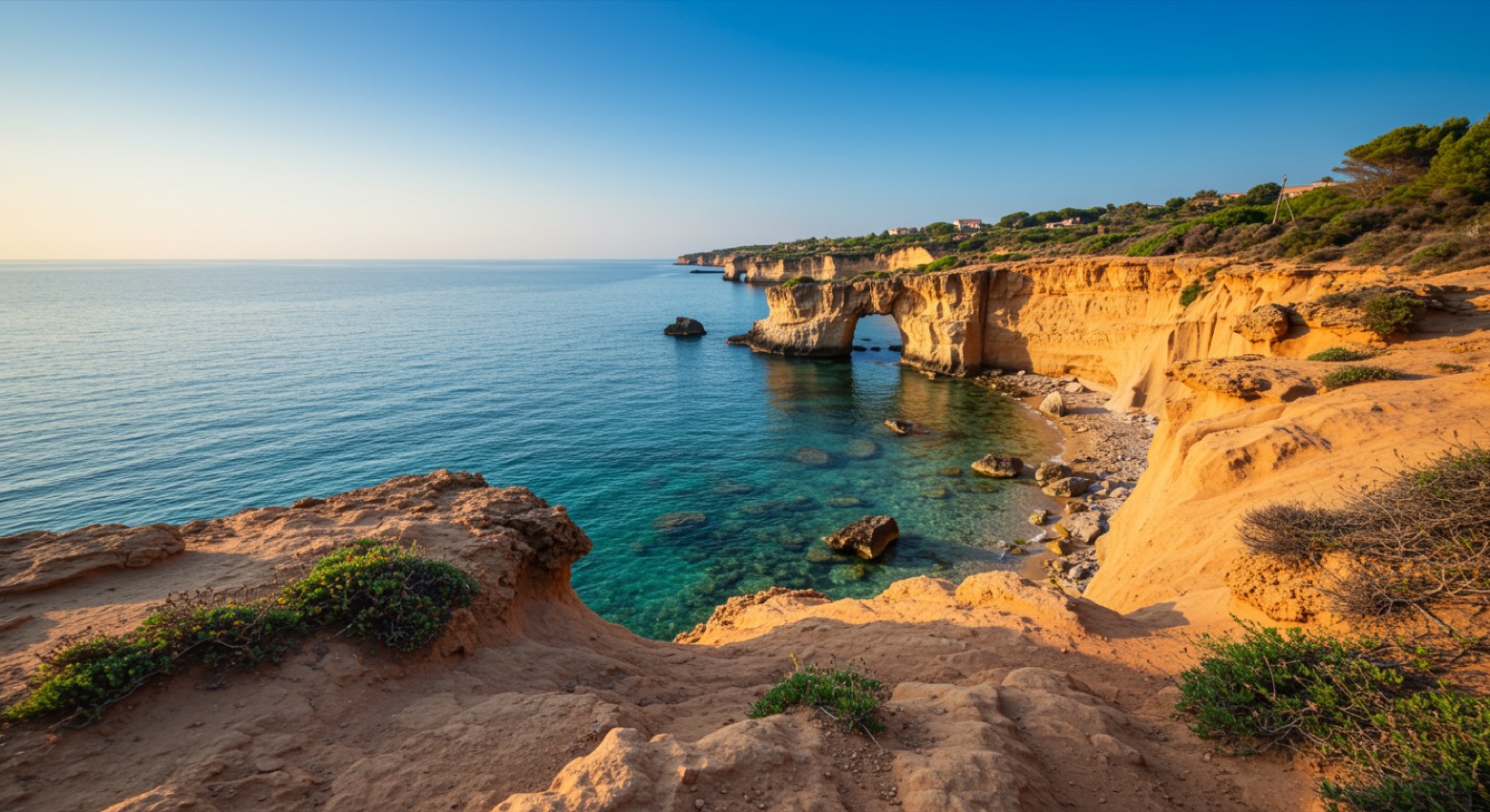 Stage 14
- Distance
- 12 km
- Ascent
- 60 m
- Descent
- 54 m
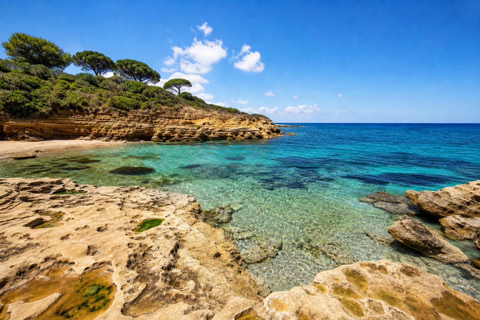 Stage 15
Capo Rizzuto → Marinella
moderate- Distance
- 26 km
- Ascent
- 173 m
- Descent
- 70 m
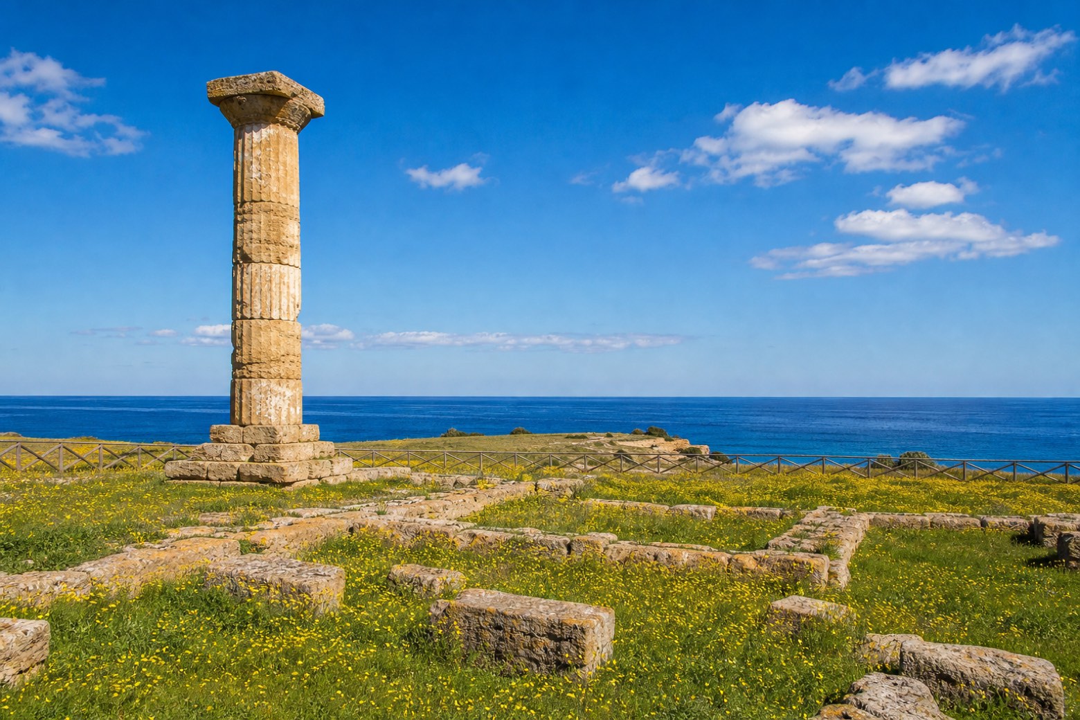 Stage 16
Marinella → Crotone
moderate- Distance
- 20 km
- Ascent
- 105 m
- Descent
- 202 m
Travel
Find connections for your cammino.
Search trainsMore walks in Italy
Plan your walking trip
How to choose a walking route: stages, days and ascent
Choose a walking route by comparing daily stages, available days, ascent and transport links. Practical planning with examples from the Appy catalogue.
How to plan a walking trip by train and bus
Plan travel to and from your walk: stage endpoints, stations, stops and the connection to the trail. A practical guide to routes and transport with Appy.
Take your walk with you: download Appy
Cammino della Magna Graecia. Explore maps, stages and elevation in the app, and plan your train or bus journey.