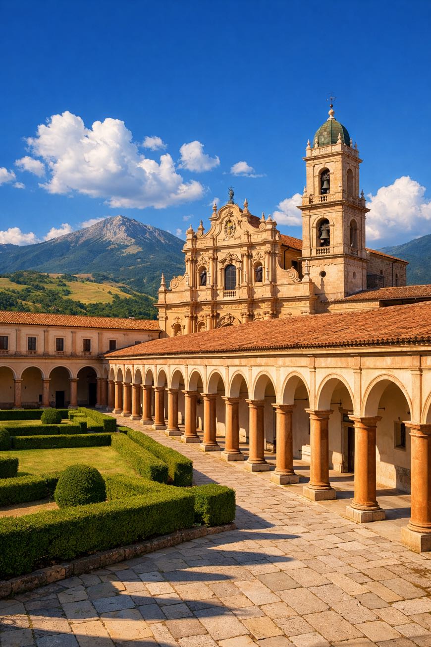
Cammino del Negro
Campania, Italy
Italy · Sanza, Italy → Sanza, Italy
Distance
163 km
Stages
12
Difficulty
moderate
Best months
Apr-Jun, Sep-Oct
Cammino del Negro · Stages and distances
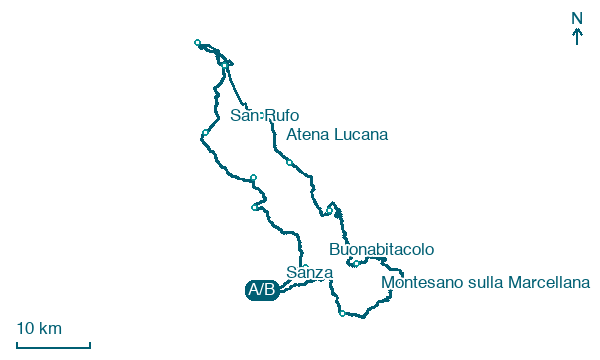
Walking distances for Appy’s stages (12)
| Stage | km |
|---|---|
| 1. Sanza → Buonabitacolo | 9 |
| 2. Buonabitacolo → Monte San Giacomo | 16.3 |
| 3. Monte San Giacomo → Teggiano | 6.3 |
| 4. Teggiano → San Rufo | 12.7 |
| 5. San Rufo → Polla | 12.2 |
| 6. Polla → Pertosa | 7.8 |
| 7. Pertosa → Atena Lucana | 18.4 |
| 8. Atena Lucana → Sala Consilina | 8.3 |
| 9. Sala Consilina → Padula | 12.3 |
| 10. Padula → Montesano sulla Marcellana | 18.5 |
| 11. Montesano sulla Marcellana → Casalbuono | 23.2 |
| 12. Casalbuono → Sanza | 18.1 |
| Total | 163.1 |
About
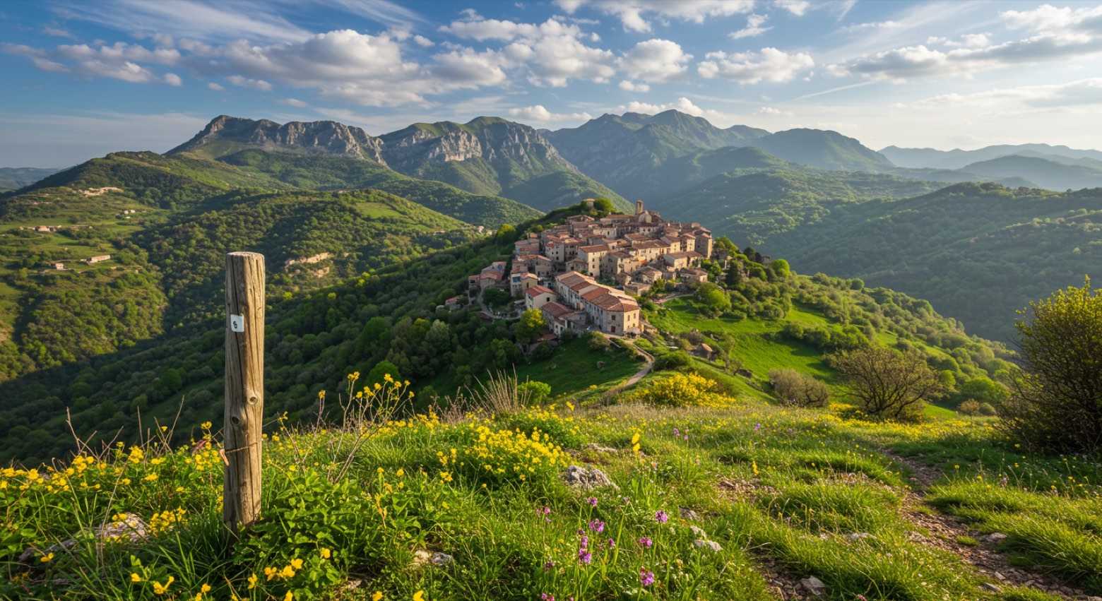
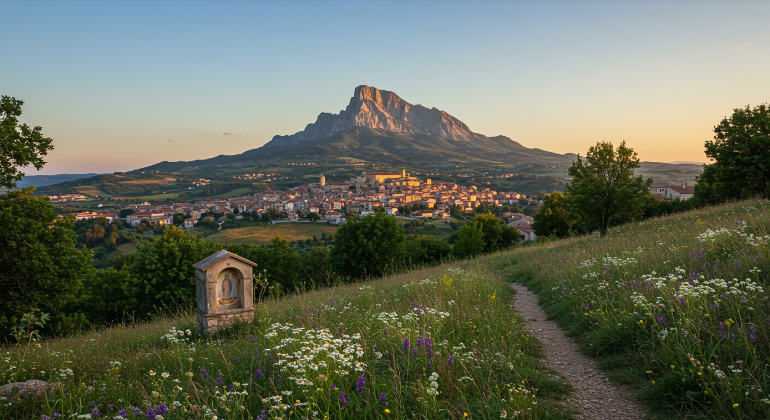
A 160 km loop through the heart of Cilento. The Cammino del Negro winds from Sanza, through quaint villages like Sant'Arsenio and Polla, where the aroma of fresh bread mingles with the scent of wild herbs.
Twelve stages, 5,388 metres of elevation gain, every step reveals a blend of nature and culture. Ancient churches and traditional farms dot the landscape, whispering stories of the past.
Ideal for beginners, this route invites year-round exploration, especially in the mild months of April to June and September to October.
Stages
12 stages
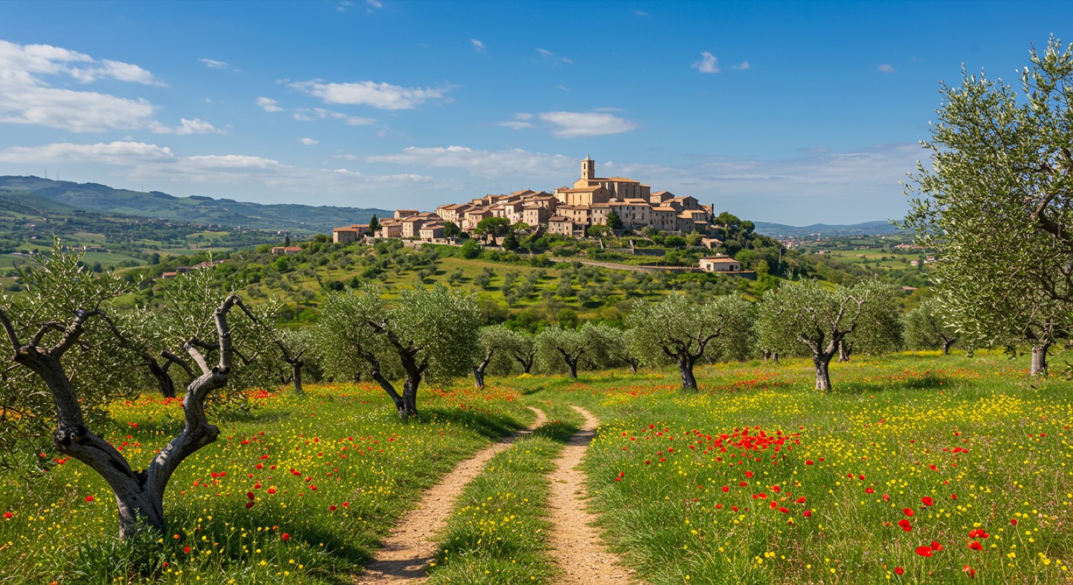 Stage 1
- Distance
- 9 km
- Ascent
- 244 m
- Descent
- 280 m
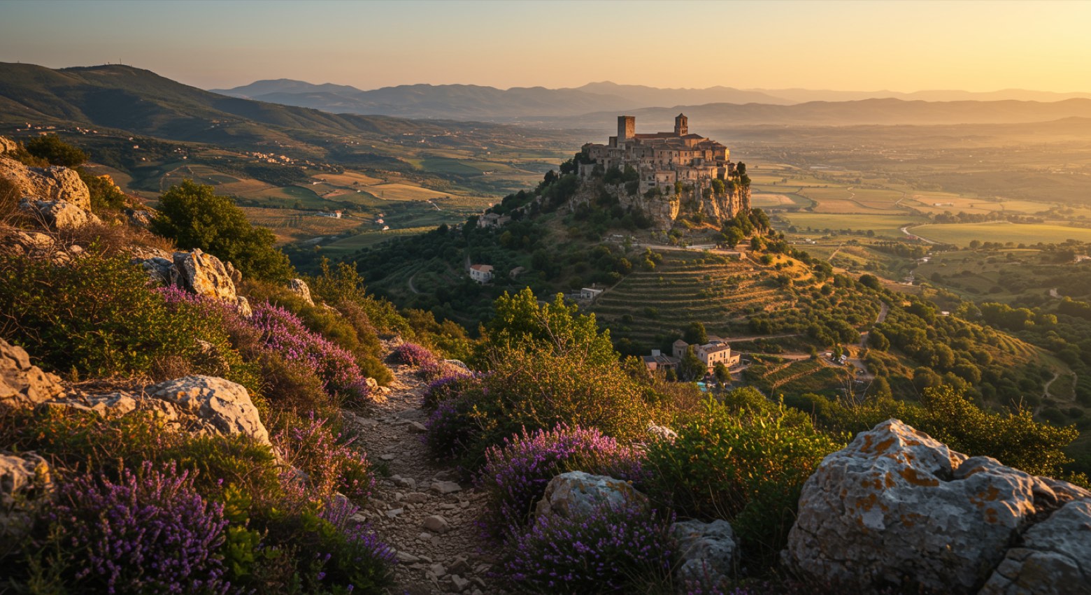 Stage 2
- Distance
- 16 km
- Ascent
- 632 m
- Descent
- 458 m
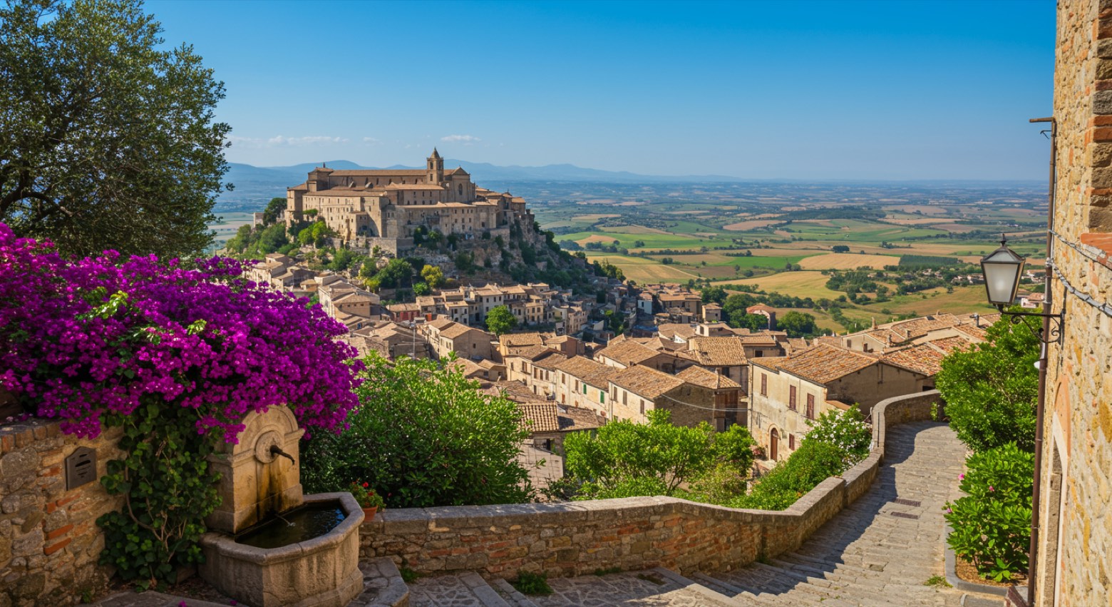 Stage 3
Monte San Giacomo → Teggiano
moderate- Distance
- 6 km
- Ascent
- 406 m
- Descent
- 484 m
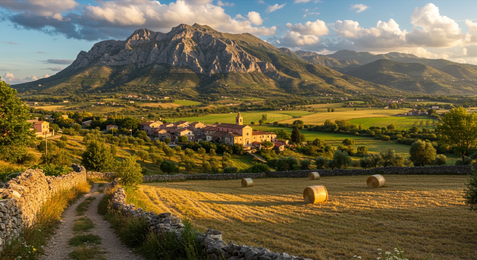 Stage 4
Teggiano → San Rufo
moderate- Distance
- 13 km
- Ascent
- 448 m
- Descent
- 402 m
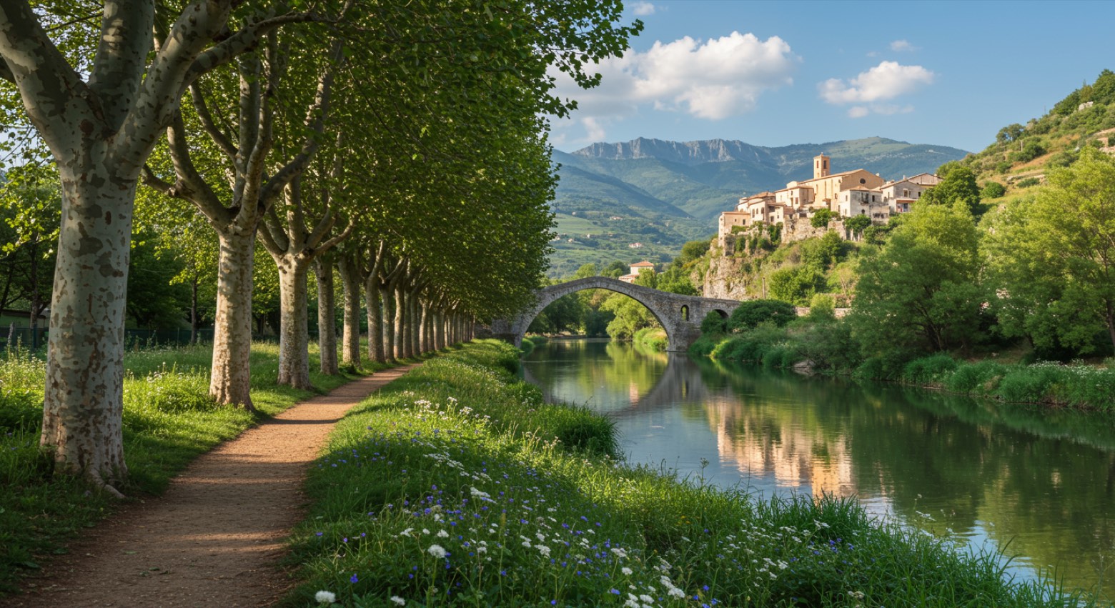 Stage 5
San Rufo → Polla
easy- Distance
- 12 km
- Ascent
- 224 m
- Descent
- 399 m
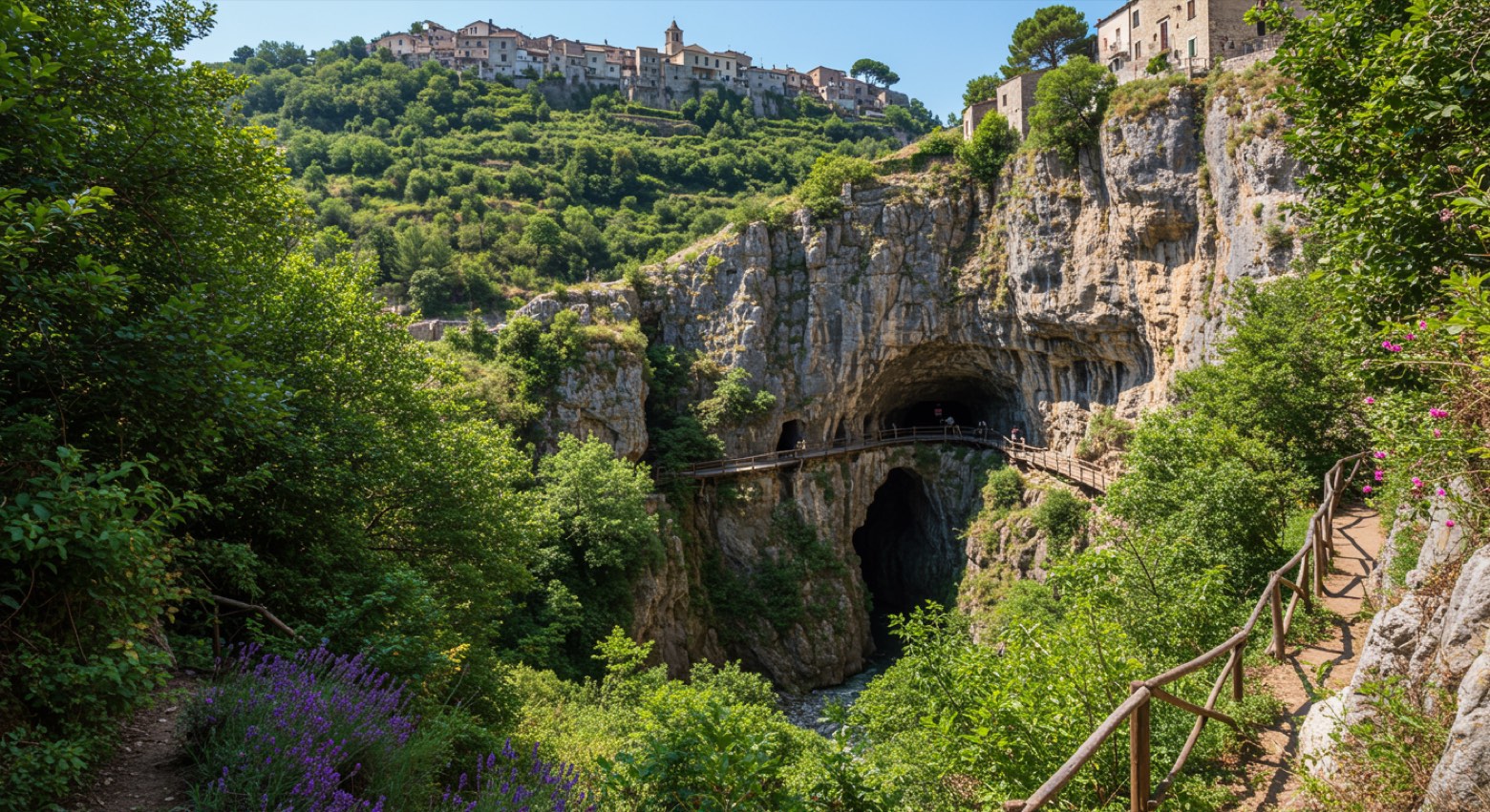 Stage 6
Polla → Pertosa
easy- Distance
- 8 km
- Ascent
- 312 m
- Descent
- 488 m
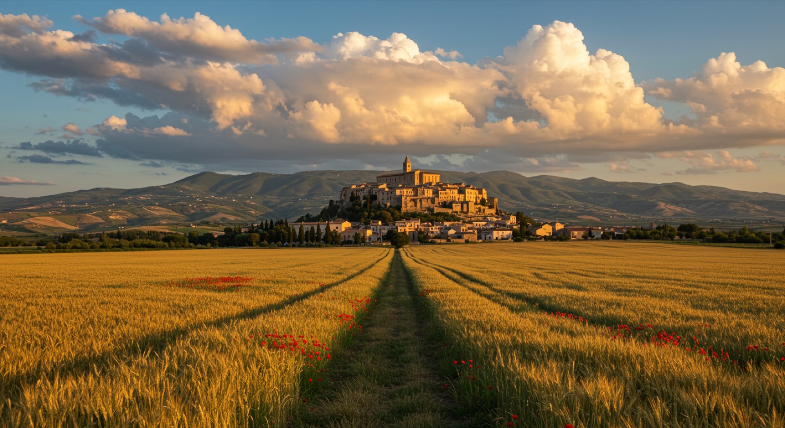 Stage 7
Pertosa → Atena Lucana
moderate- Distance
- 18 km
- Ascent
- 518 m
- Descent
- 184 m
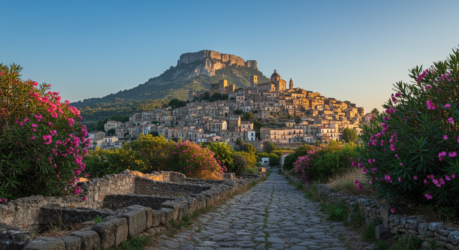 Stage 8
Atena Lucana → Sala Consilina
moderate- Distance
- 8 km
- Ascent
- 419 m
- Descent
- 463 m
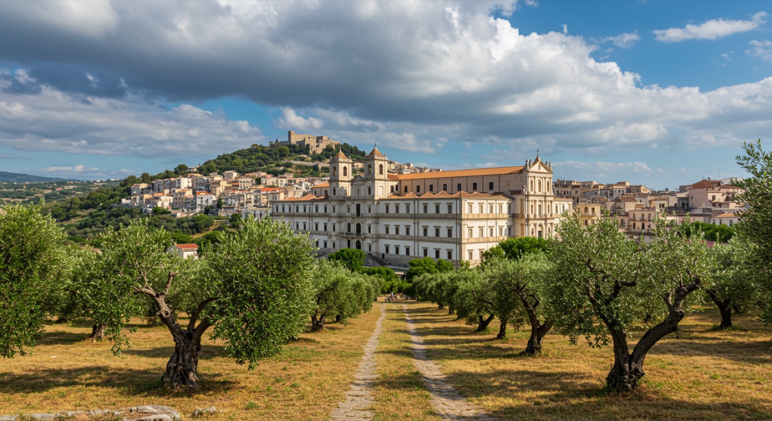 Stage 9
Sala Consilina → Padula
moderate- Distance
- 12 km
- Ascent
- 402 m
- Descent
- 298 m
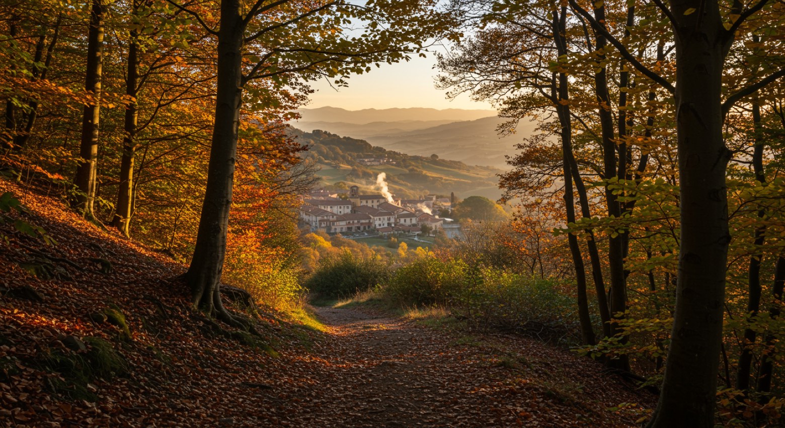 Stage 10
- Distance
- 18 km
- Ascent
- 712 m
- Descent
- 538 m
 Stage 11
- Distance
- 23 km
- Ascent
- 429 m
- Descent
- 654 m
 Stage 12
Casalbuono → Sanza
moderate- Distance
- 18 km
- Ascent
- 206 m
- Descent
- 311 m
Points of interest
- Santuario di Sant'Antonio
A Franciscan convent church with a Renaissance look, frescoes inside and a sixteenth century portal.
- Cosilinum archaeological park
Archaeological site, in Padula, Italy, designated as Italian national heritage.
- Castello Macchiaroli
A medieval castle tied to the Sanseverino family, who made it a fortress hard to take during the Barons' Conspiracy of 1485.
- Santissima Pietà
Church in Gothic style, in Teggiano, Italy, designated as Italian national heritage.
- Guglia di San Cono
A tall obelisk with a statue of San Cono on top, about 20 metres up. The town raised it to thank the saint, who by local tradition protected Teggiano in the earthquake of 17 December 1857.
- Antico cippo romano
Monument, in Teggiano, Italy, designated as Italian national heritage.
- Antico sedile civico
Monument, in Teggiano, Italy, designated as Italian national heritage.
- Castello
Castle, in Atena Lucana, Italy, designated as Italian national heritage.
Travel
Find connections for your cammino.
Search trainsMore walks in Italy
Plan your walking trip
All articles and guidesHow to choose a walking route: stages, days and ascent
How many days can you actually spend walking? Start there, then choose stages that leave you time to stop along the way.
How to plan a walking trip by train and bus
Two different stations, a last bus and a backpack. Fit the journeys out and home around the days you want to spend walking.
Take your walk with you: download Appy
Cammino del Negro. Explore maps, stages and elevation in the app, and plan your train or bus journey.

