Cammino di San Nilo
Campania, Italy
Italy · Sapri, Italy → Caselle in Pittari, Italy
Distance
112 km
Stages
8
Difficulty
moderate
Best months
Apr-Jun, Sep-Oct
About
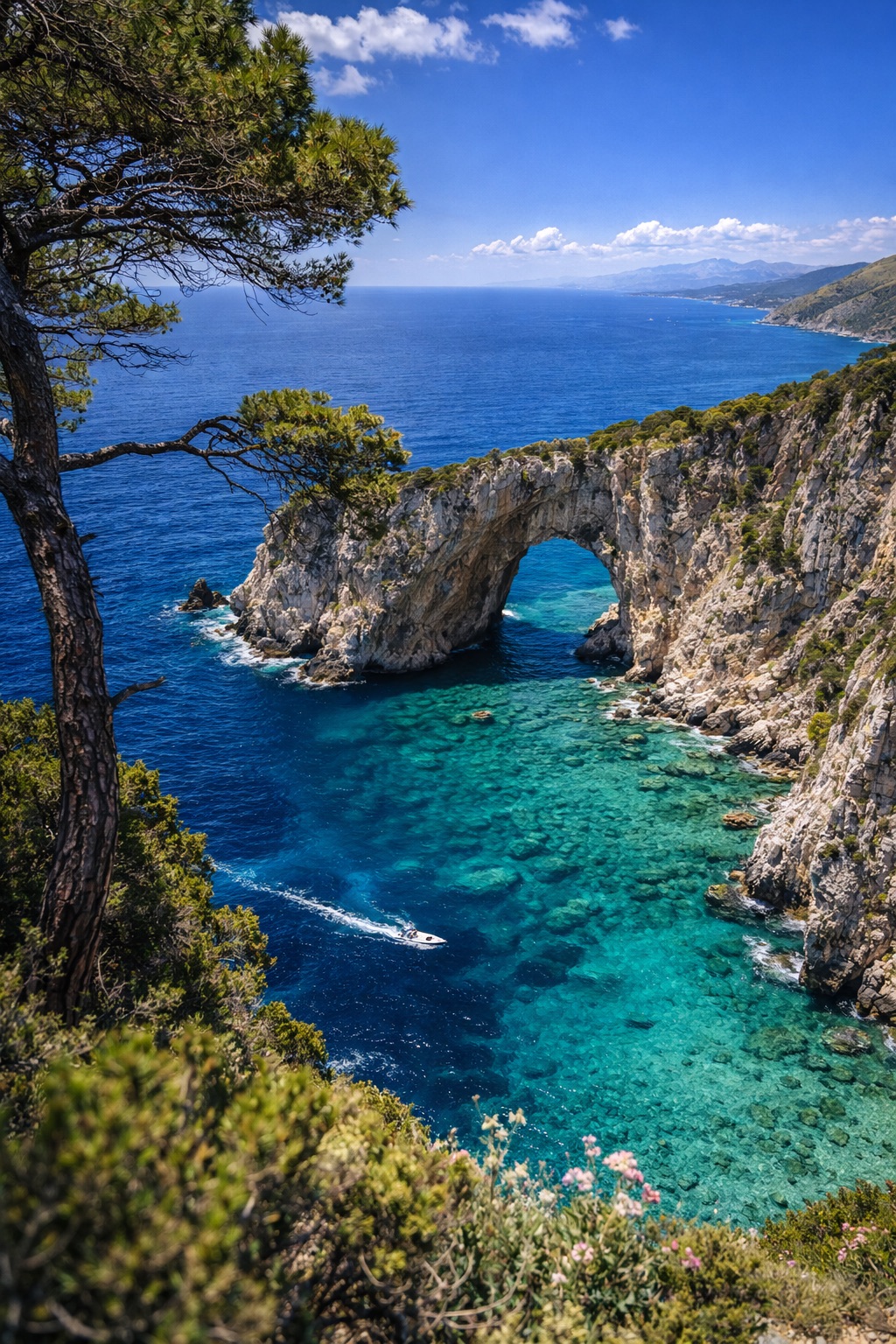
An 112-km spiritual route through Cilento National Park, the Cammino di San Nilo traces the footsteps of Saint Nilus of Rossano. From Sapri’s coastal charm to Caselle in Pittari, hikers navigate rugged gorges and ancient hilltop villages like Tortorella and Montano Antilia.
Elevation gain? A staggering 11,184 meters.
The air is rich with wild thyme and the sound of rustling leaves. Eight stages await, accessible year-round, but April to June and September to October are ideal.
Each step is a journey through history, nature, and self-discovery.
Stages
8 stages
 Stage 1
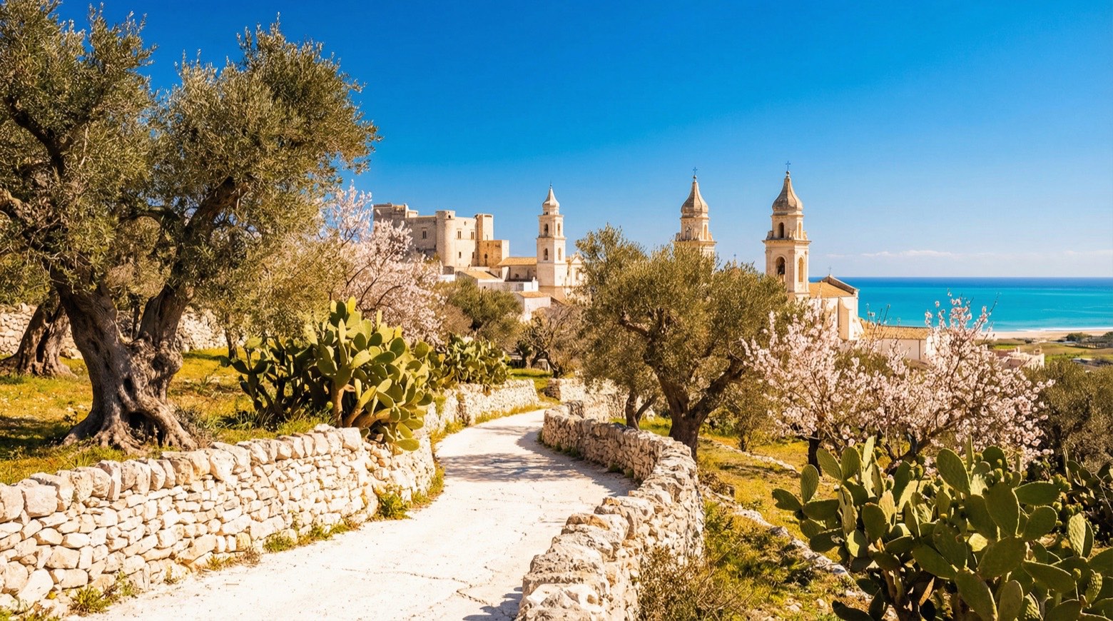
Sapri → Torraca
moderateDistance10 kmAscent856 mDescent447 m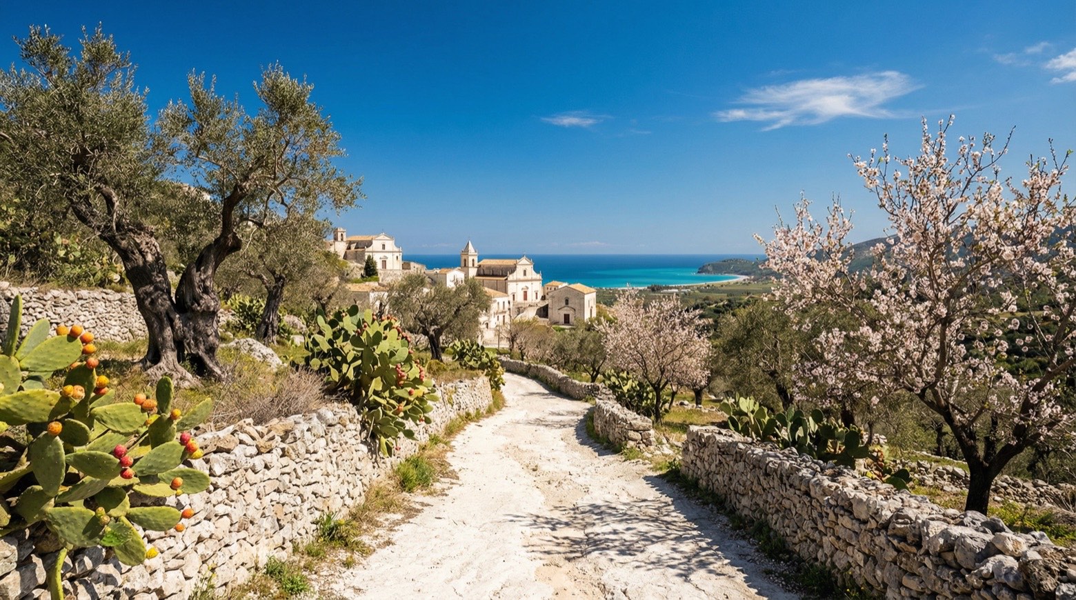 Stage 2
Torraca → Casaletto Spartano
moderateDistance15 kmAscent932 mDescent964 m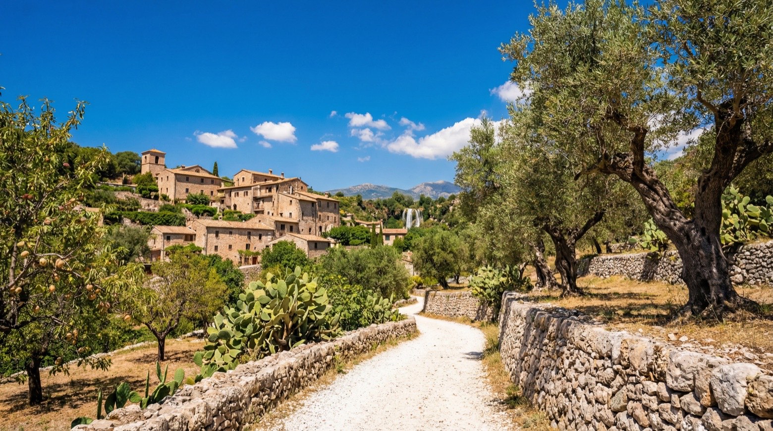 Stage 3
Sicilì → Casaletto Spartano
moderateDistance10 kmAscent871 mDescent719 m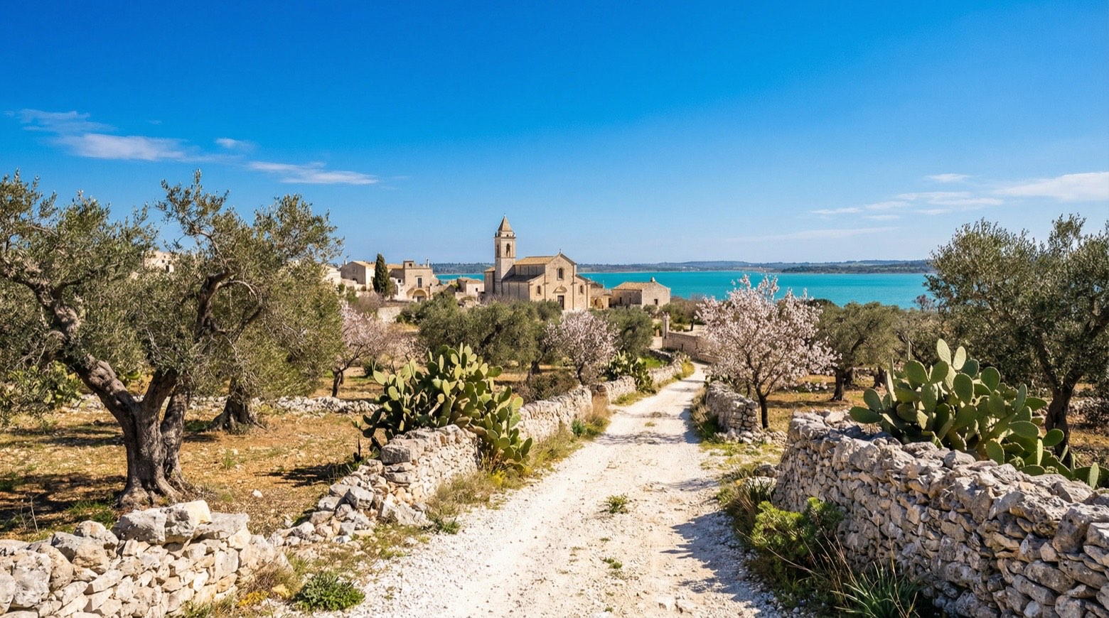 Stage 4
Sicilì → Caselle in Pittari
moderateDistance10 kmAscent676 mDescent536 m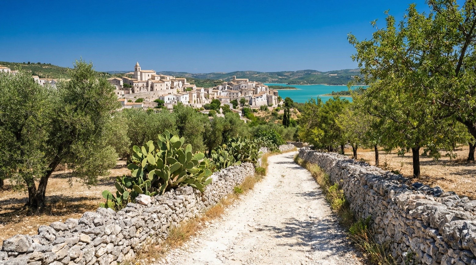 Stage 5
Caselle in Pittari → Rofrano
moderateDistance17 kmAscent854 mDescent838 m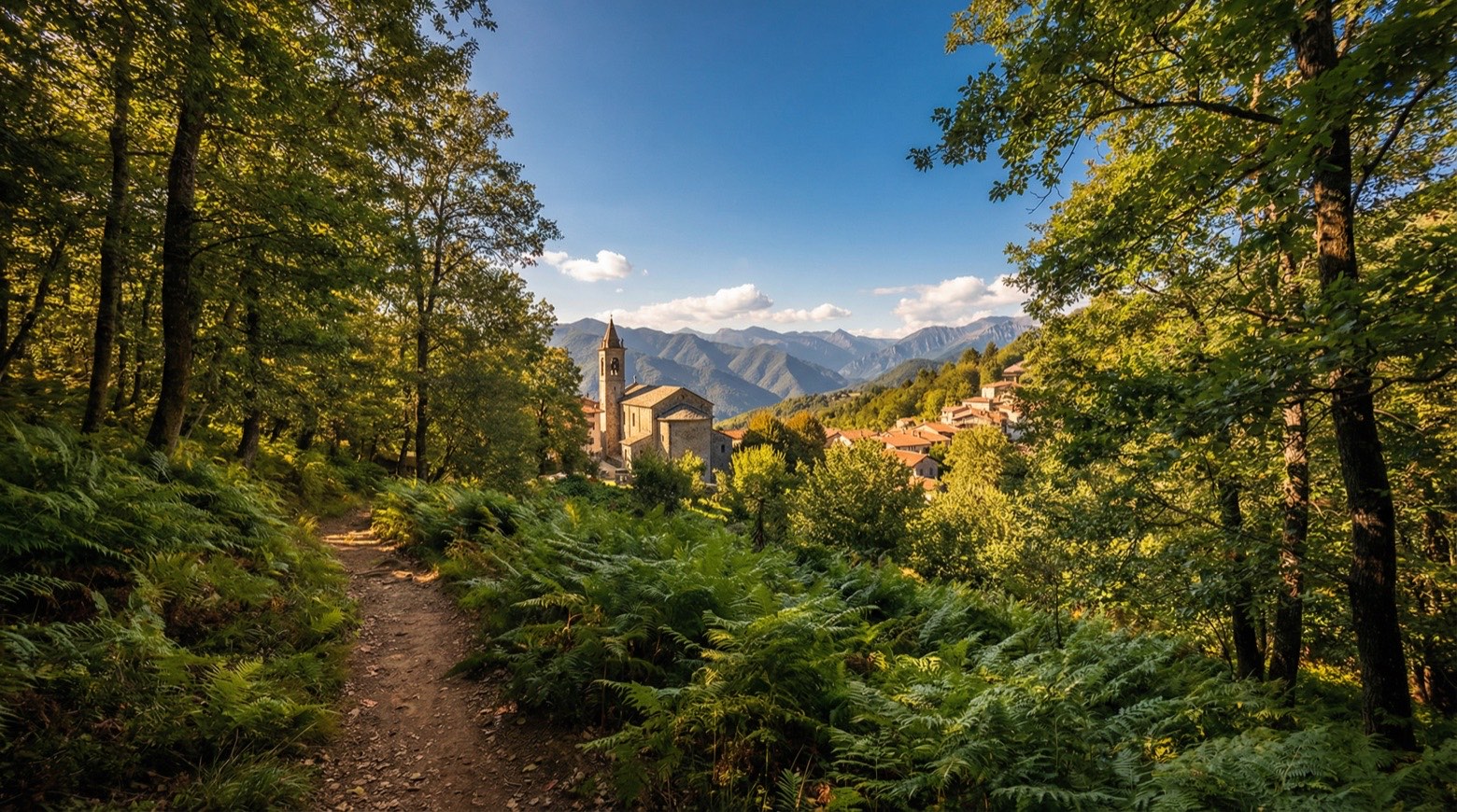 Stage 6
Rofrano → Abatemarco
moderateDistance12 kmAscent867 mDescent619 m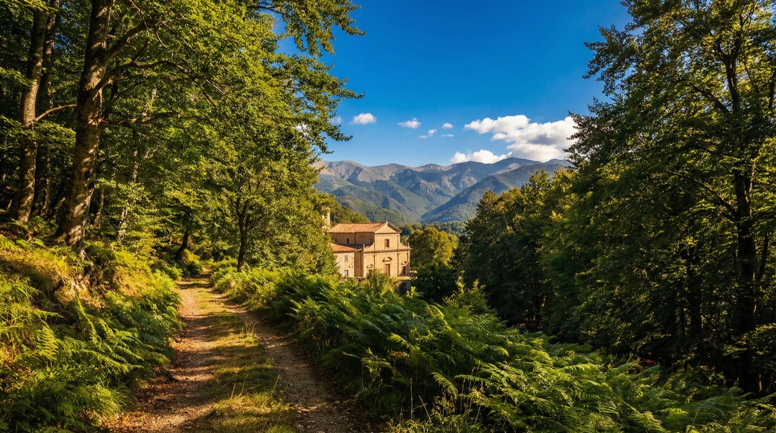 Stage 7
Abatemarco → San Nazario
challengingDistance23 kmAscent1144 mDescent1506 m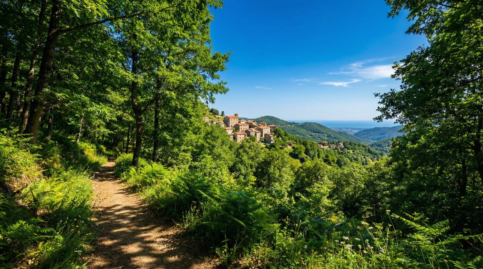 Stage 8
San Nazario → Palinuro
moderateDistance15 kmAscent543 mDescent814 m
Points of interest
- Molpa
- Venus Hair Waterfalls
Venus Hair Waterfalls. Natural landmark, in Casaletto Spartano, Italy, at 400 m elevation.
- chiesa della Santissima Annunziata
- chiesa di Maria Santissima Assunta in Cielo
- chiesa di Santa Maria assunta
- chiesa della Congrega di Maria Santissima delle nevi
- Caselle
Centro sovrastato da una maestosa torre cilindrica, tutto ciò che resta dell’antico castello del XIII secolo.
- santuario, mariano, diocesano, Cappella Madonna del Cervato
Agli inizi del XIII secolo fu costituita l'arciconfraternita di Santa Maria della Neve. L'antica chiesetta eretta non distante da una grotta ove ere venerata la Vergine sotto lo stesso titolo, fu ampliata nel 1599.
Travel
Find connections for your cammino.
Search trainsMore walks in Italy
Plan your walking trip
How to choose a walking route: stages, days and ascent
Choose a walking route by comparing daily stages, available days, ascent and transport links. Practical planning with examples from the Appy catalogue.
How to plan a walking trip by train and bus
Plan travel to and from your walk: stage endpoints, stations, stops and the connection to the trail. A practical guide to routes and transport with Appy.
Take your walk with you: download Appy
Cammino di San Nilo. Explore maps, stages and elevation in the app, and plan your train or bus journey.