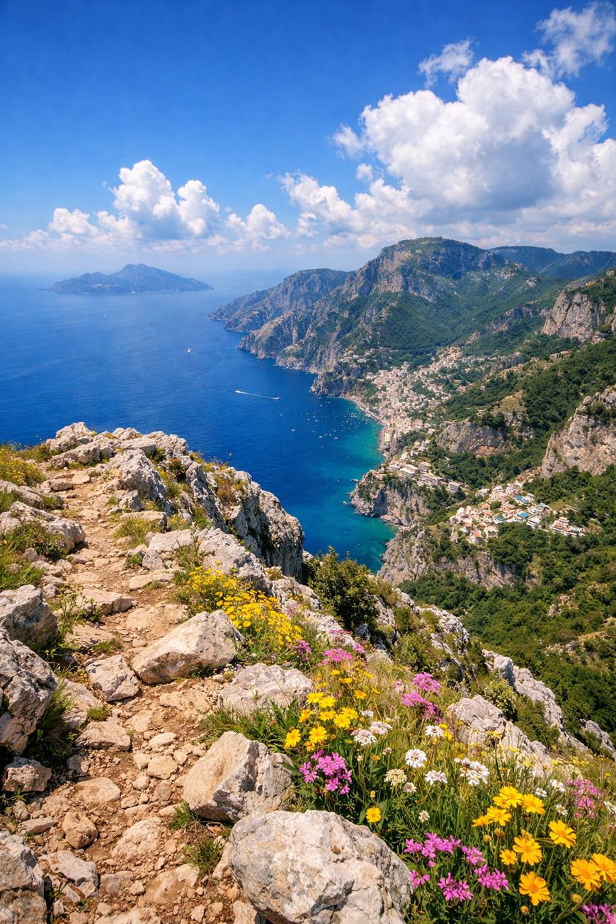
Alta Via dei Monti Lattari
Campania, Italy
Italy · Cava de' Tirreni → Punta Campanella
Distance
69 km
Stages
6
Difficulty
challenging
Alta Via dei Monti Lattari · Stages and distances
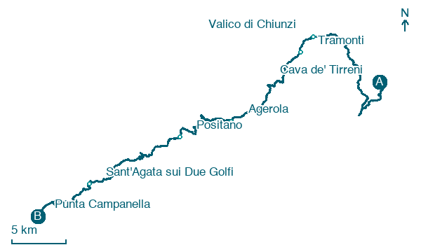
Walking distances for Appy’s stages (6)
| Stage | km |
|---|---|
| 1. Cava de' Tirreni → Valico di Chiunzi | 19.8 |
| 2. Valico di Chiunzi → Tramonti | 2.3 |
| 3. Tramonti → Agerola | 12.2 |
| 4. Agerola → Positano | 10.5 |
| 5. Positano → Sant'Agata sui Due Golfi | 14.3 |
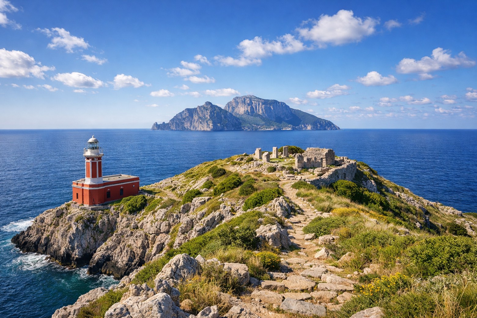
| 6. Sant'Agata sui Due Golfi → Punta Campanella | 9.5 |
| Total | 68.6 |
About
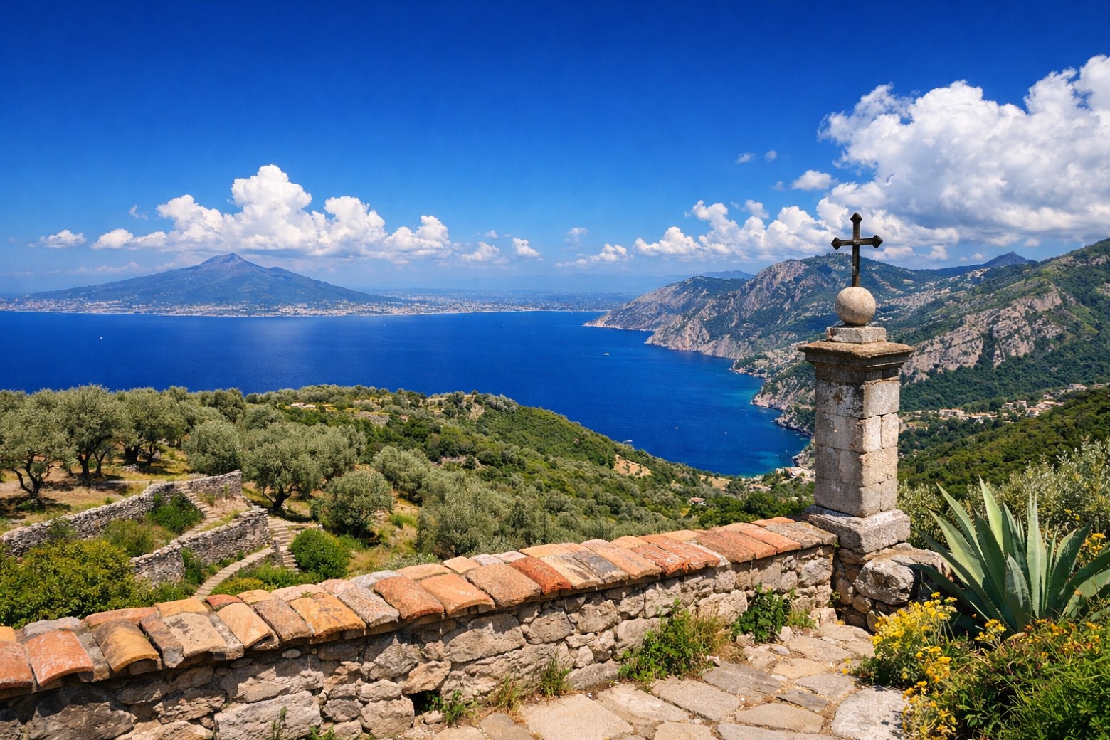
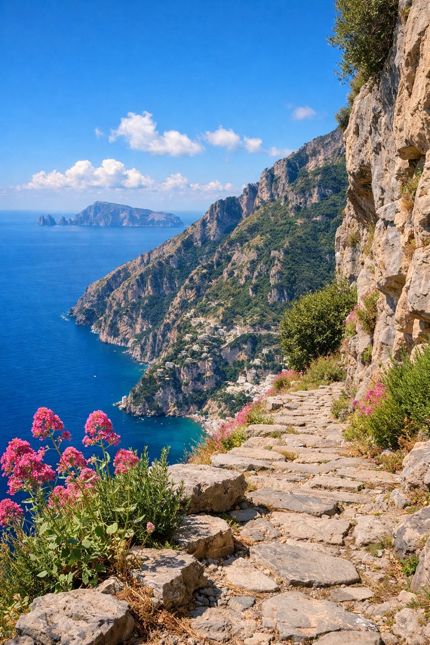
The Alta Via dei Monti Lattari traverses the entire spine of the Lattari Mountains above the Amalfi Coast. From Cava de' Tirreni to Punta Campanella, this challenging ridge walk offers breathtaking views of the Bay of Naples, Capri, and the dramatic Amalfi coastline far below.
Stages
6 stages
 Stage 1
- Distance
- 20 km
- Ascent
- 917 m
- Descent
- 640 m
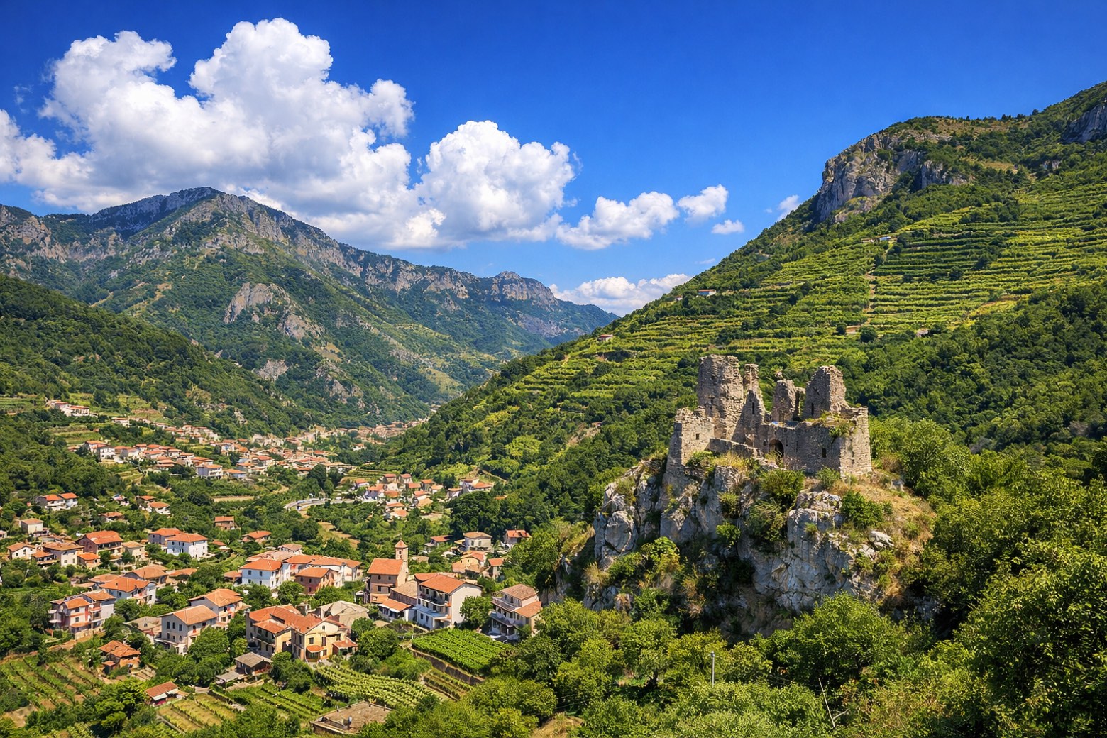 Stage 2
- Distance
- 2 km
- Ascent
- 203 m
- Descent
- 29 m
 Stage 3
- Distance
- 12 km
- Ascent
- 632 m
- Descent
- 453 m
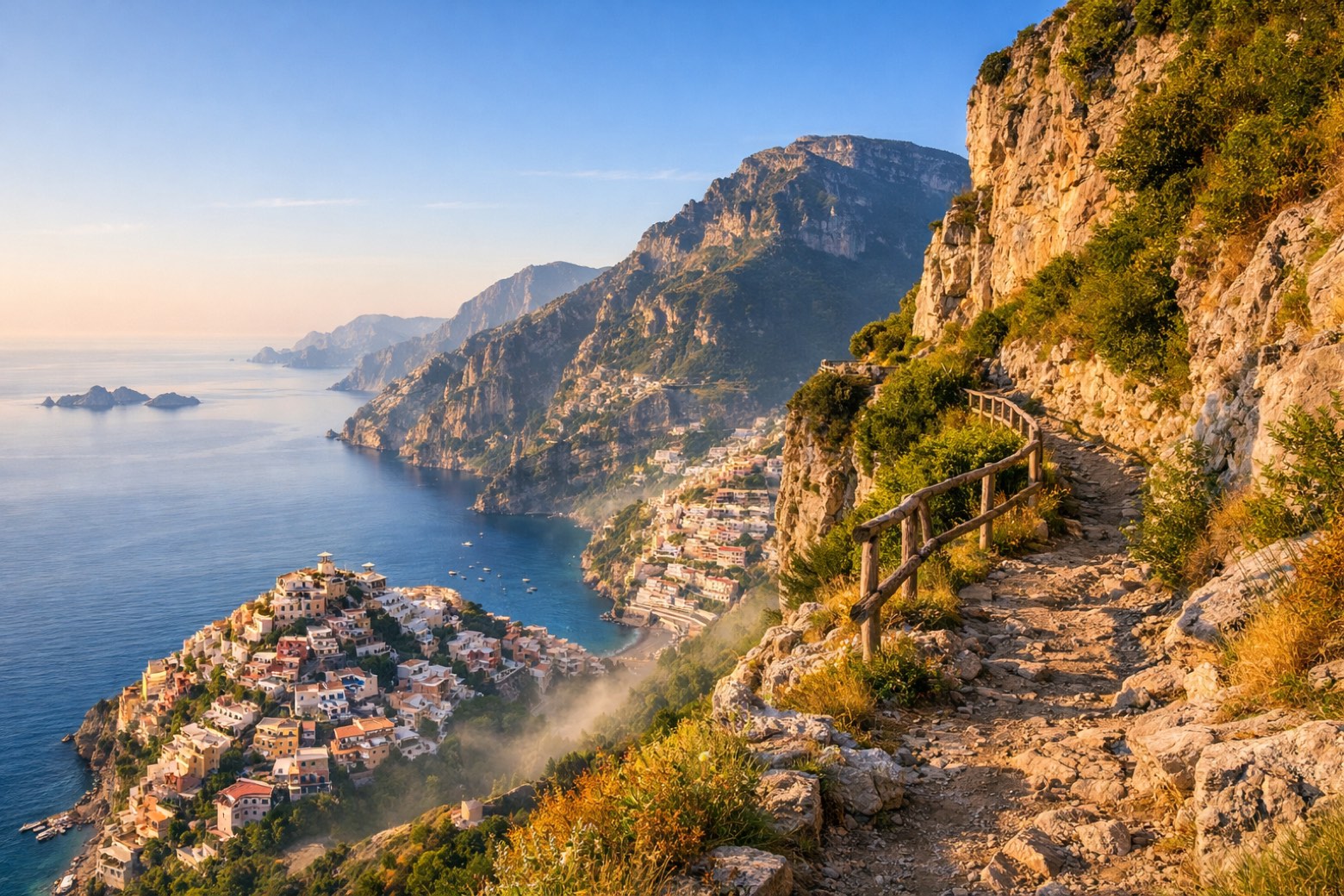 Stage 4
- Distance
- 10 km
- Ascent
- 387 m
- Descent
- 752 m
 Stage 5
- Distance
- 14 km
- Ascent
- 454 m
- Descent
- 810 m
 Stage 6
- Distance
- 10 km
- Ascent
- 494 m
- Descent
- 688 m
Travel
Find connections for your cammino.
Search trainsMore walks in Italy

Plan your walking trip
All articles and guidesHow to choose a walking route: stages, days and ascent
How many days can you actually spend walking? Start there, then choose stages that leave you time to stop along the way.
How to plan a walking trip by train and bus
Two different stations, a last bus and a backpack. Fit the journeys out and home around the days you want to spend walking.
Take your walk with you: download Appy
Alta Via dei Monti Lattari. Explore maps, stages and elevation in the app, and plan your train or bus journey.

