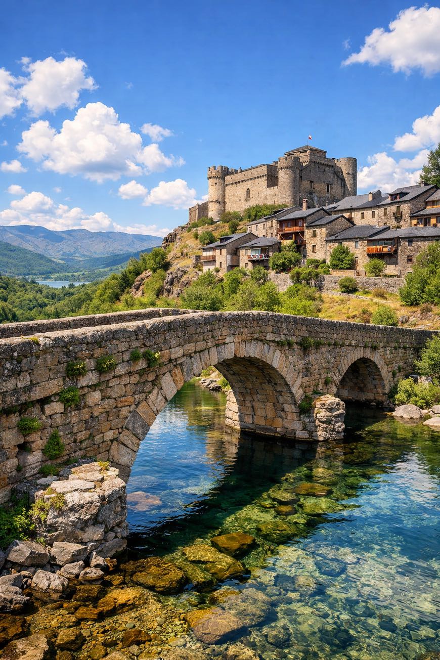
Camino Sanabres
Galicia, Spain
Spain · Granja de Moreruela → Santiago de Compostela
Distance
367 km
Stages
13
Difficulty
moderate
Best months
Apr-Jun, Sep-Oct
Camino Sanabres · Stages and distances
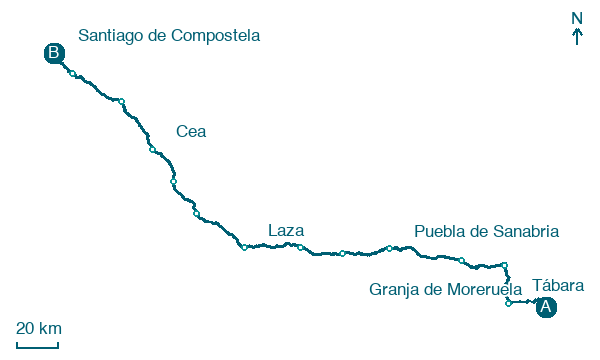
Walking distances for Appy’s stages (13)
| Stage | km |
|---|---|
| 1. Granja de Moreruela → Tábara | 25.3 |
| 2. Tábara → Santa Croya de Tera | 21.3 |
| 3. Santa Croya de Tera → Rionegro del Puente | 29.9 |
| 4. Rionegro del Puente → Puebla de Sanabria | 40.5 |
| 5. Puebla de Sanabria → Lubián | 28.5 |
| 6. Lubián → A Gudiña | 25 |
| 7. A Gudiña → Laza | 34.5 |
| 8. Laza → Xunqueira de Ambía | 32.7 |
| 9. Xunqueira de Ambía → Ourense | 22.5 |
| 10. Ourense → Cea | 22.5 |
| 11. Cea → A Laxe | 33.9 |
| 12. A Laxe → Outeiro | 34.4 |
| 13. Outeiro → Santiago de Compostela | 16.3 |
| Total | 367.3 |
About
A staggering about 370 km across Spain, from Sevilla to A Estrada, the Camino Sanabres is a formidable spiritual route. 13 stages, 25,296 m of elevation gain, and a symphony of landscapes await: cherry blossoms in Aldehuela del Jerte, the refreshing chill of Fuente Serrana's waters, and the ancient echoes of Zamora’s architecture.
This trek demands resilience, rewarding you with rich local traditions and vibrant communities. Each step is a journey through history, where every ascent reveals a new layer of cultural depth, making it a true test of spirit and endurance.
Stages
13 stages
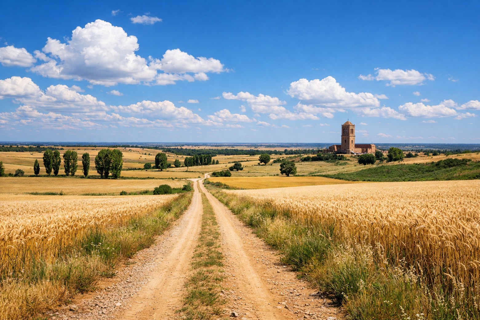 Stage 1
Granja de Moreruela → Tábara
challenging- Distance
- 25 km
- Ascent
- 504 m
- Descent
- 458 m
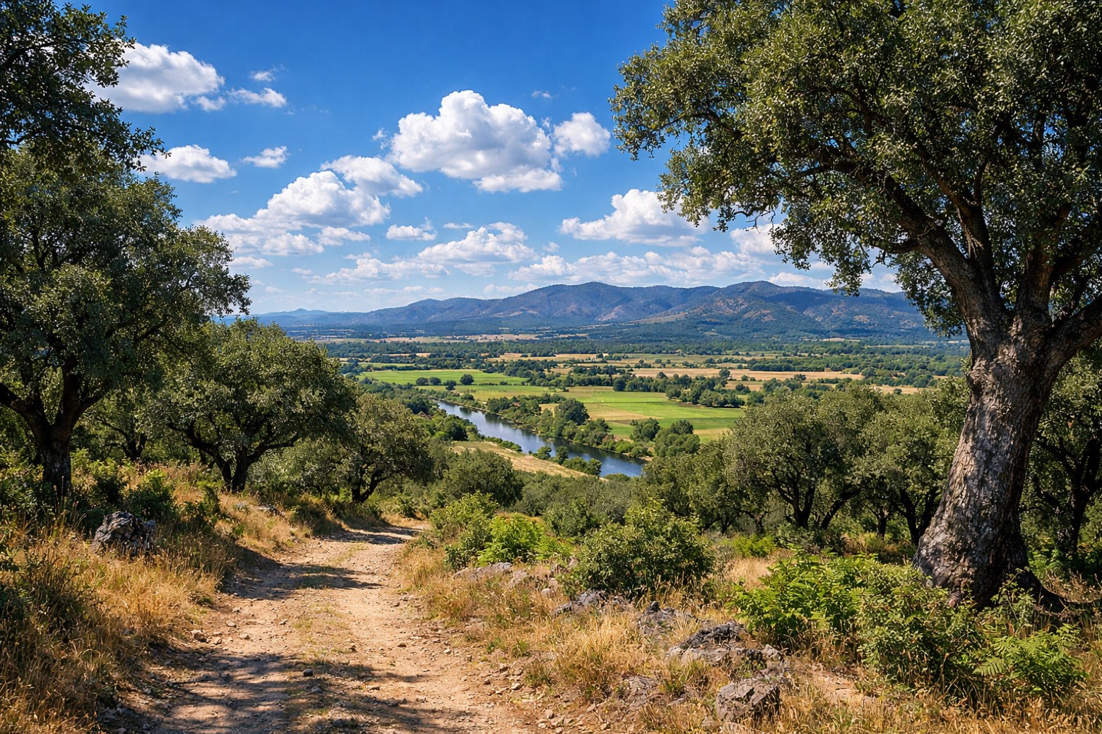 Stage 2
Tábara → Santa Croya de Tera
moderate- Distance
- 21 km
- Ascent
- 118 m
- Descent
- 129 m
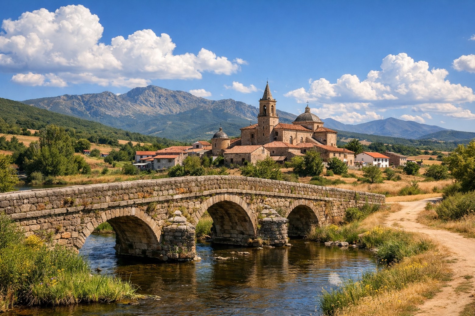 Stage 3
Santa Croya de Tera → Rionegro del Puente
challenging- Distance
- 30 km
- Ascent
- 124 m
- Descent
- 77 m
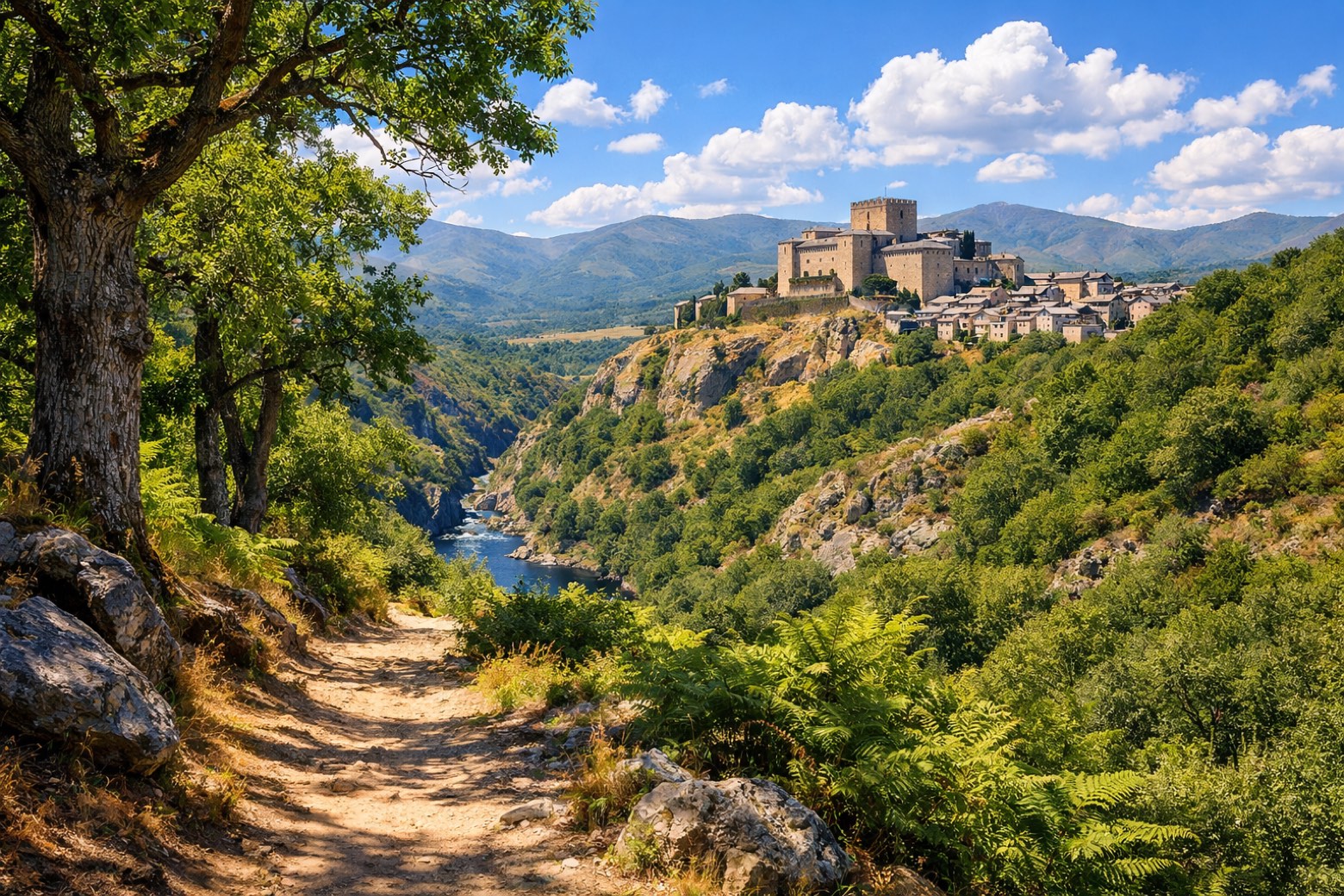 Stage 4
Rionegro del Puente → Puebla de Sanabria
challenging- Distance
- 40 km
- Ascent
- 1180 m
- Descent
- 1076 m
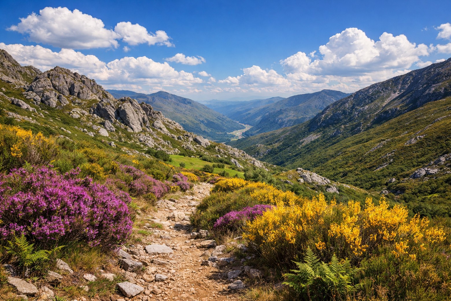 Stage 5
Puebla de Sanabria → Lubián
challenging- Distance
- 28 km
- Ascent
- 2939 m
- Descent
- 2817 m
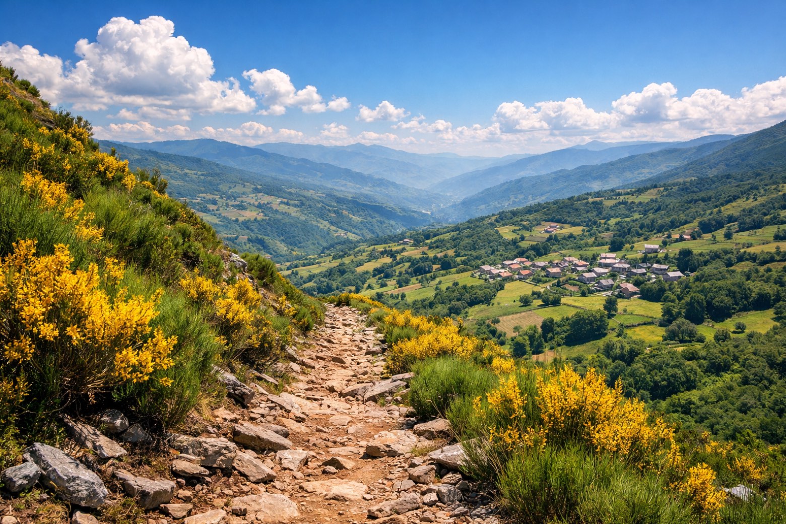 Stage 6
Lubián → A Gudiña
moderate- Distance
- 25 km
- Ascent
- 2405 m
- Descent
- 2452 m
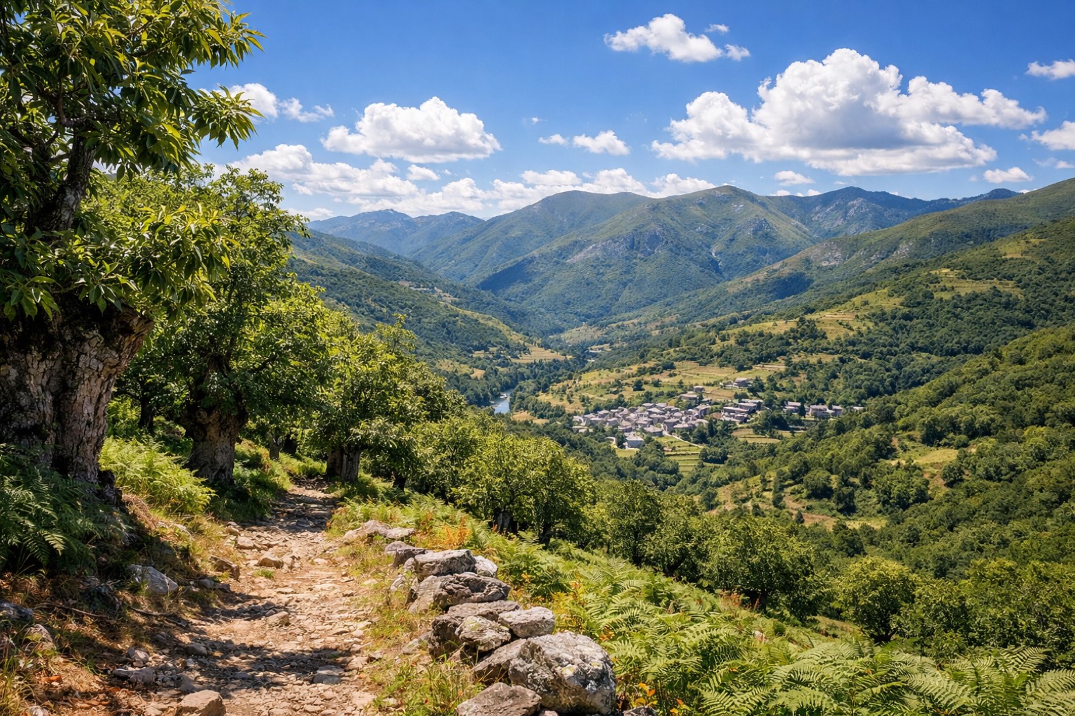 Stage 7
A Gudiña → Laza
challenging- Distance
- 34 km
- Ascent
- 3326 m
- Descent
- 3836 m
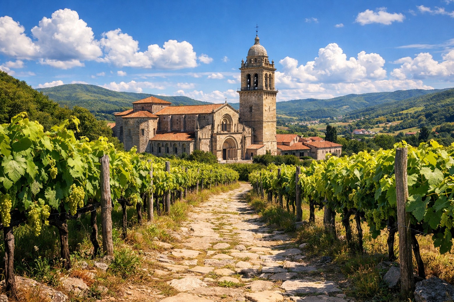 Stage 8
Laza → Xunqueira de Ambía
challenging- Distance
- 33 km
- Ascent
- 2083 m
- Descent
- 2011 m
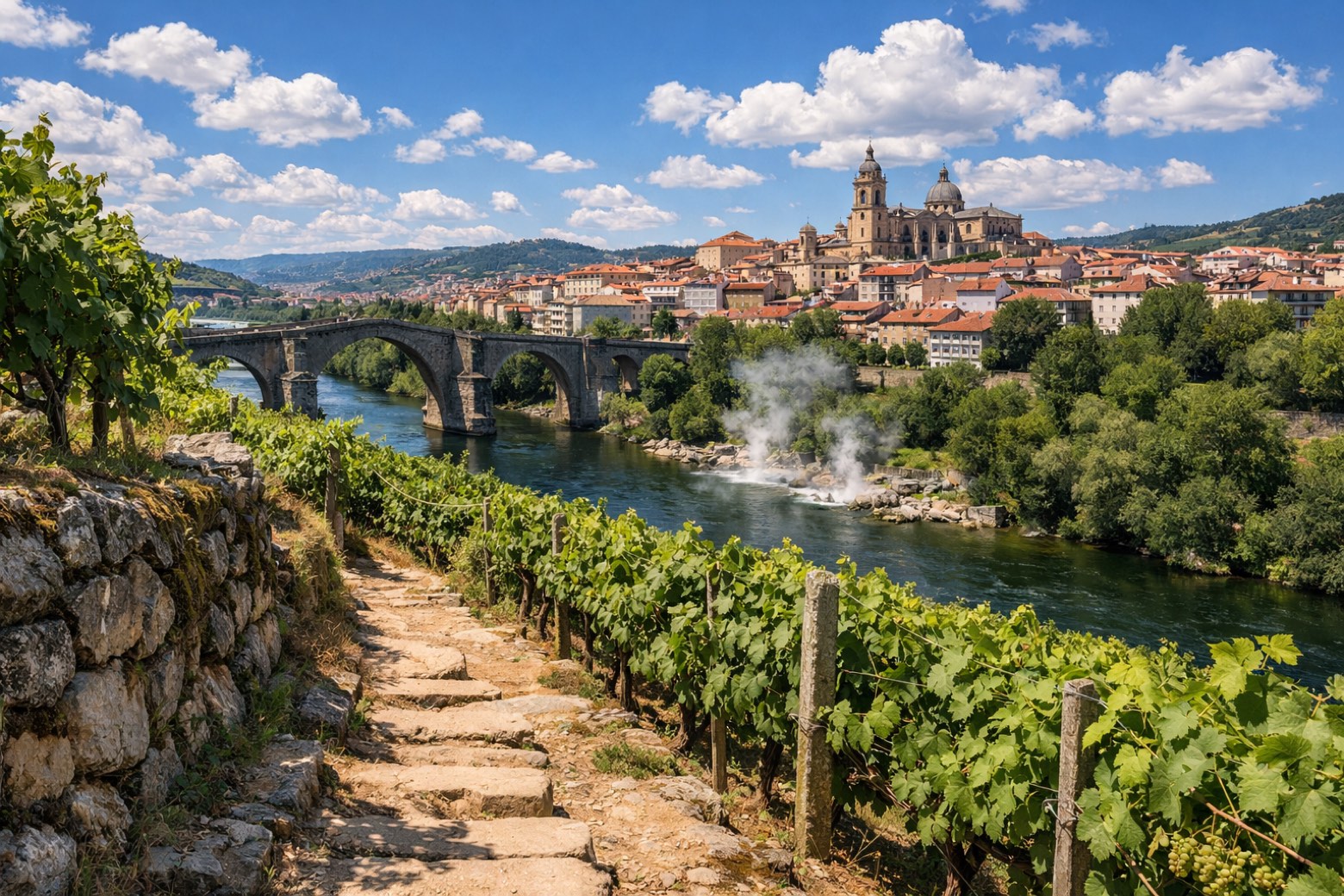 Stage 9
Xunqueira de Ambía → Ourense
moderate- Distance
- 22 km
- Ascent
- 113 m
- Descent
- 483 m
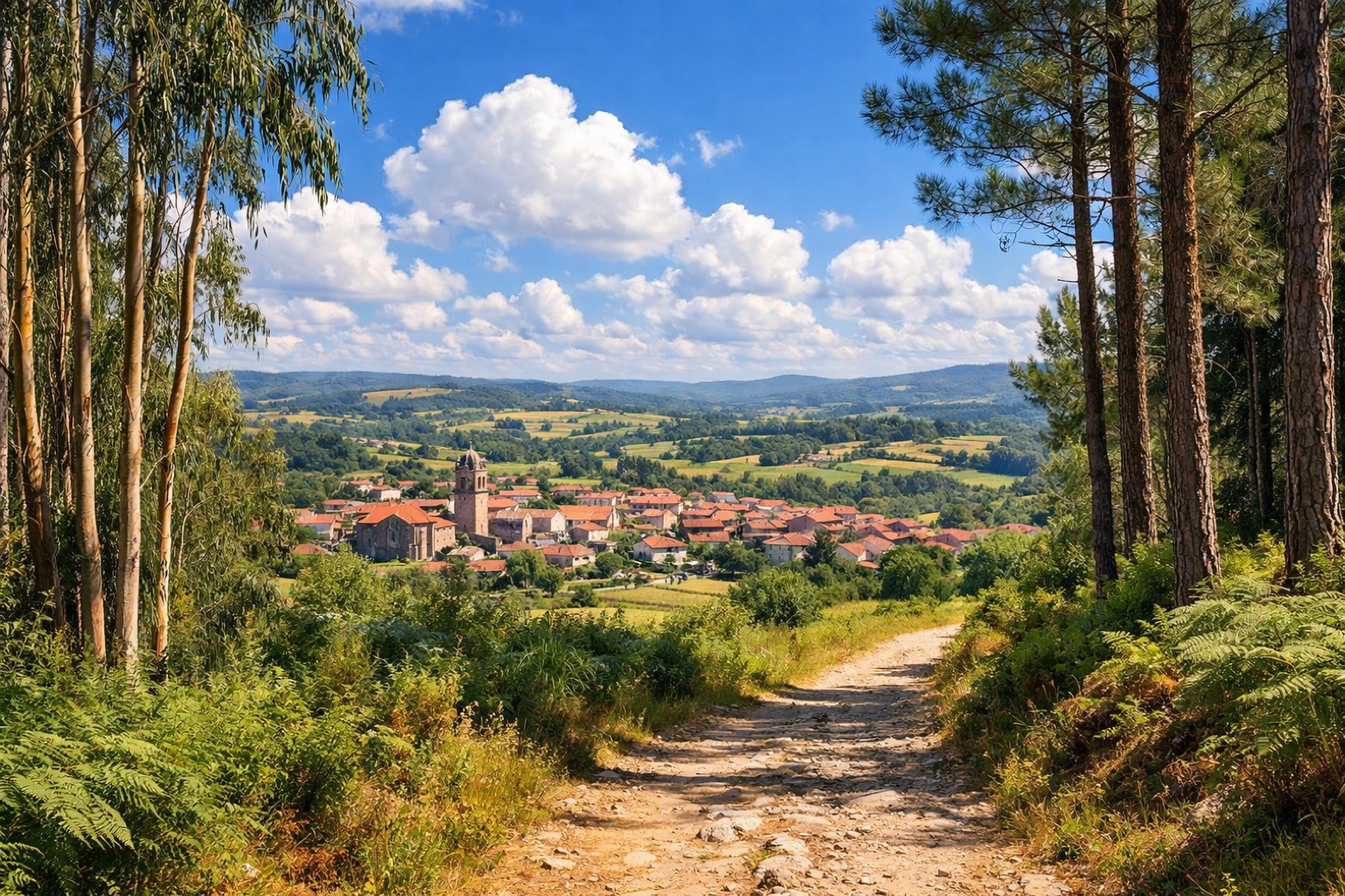 Stage 10
Ourense → Cea
moderate- Distance
- 22 km
- Ascent
- 558 m
- Descent
- 186 m
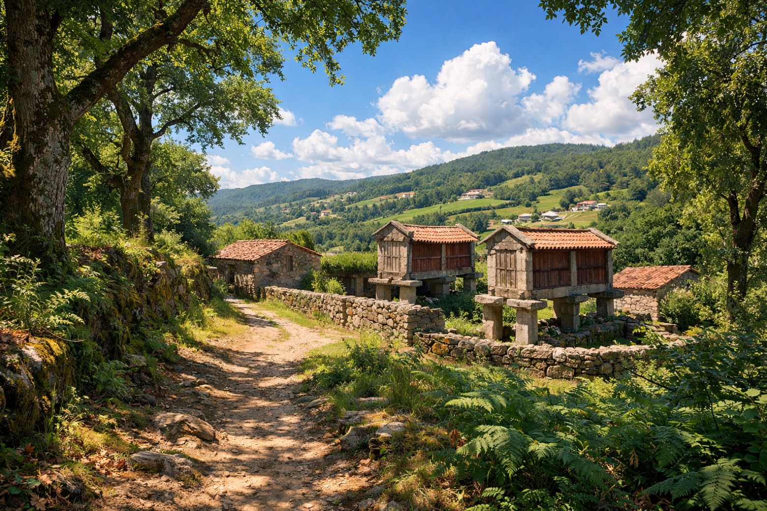 Stage 11
Cea → A Laxe
challenging- Distance
- 34 km
- Ascent
- 565 m
- Descent
- 633 m
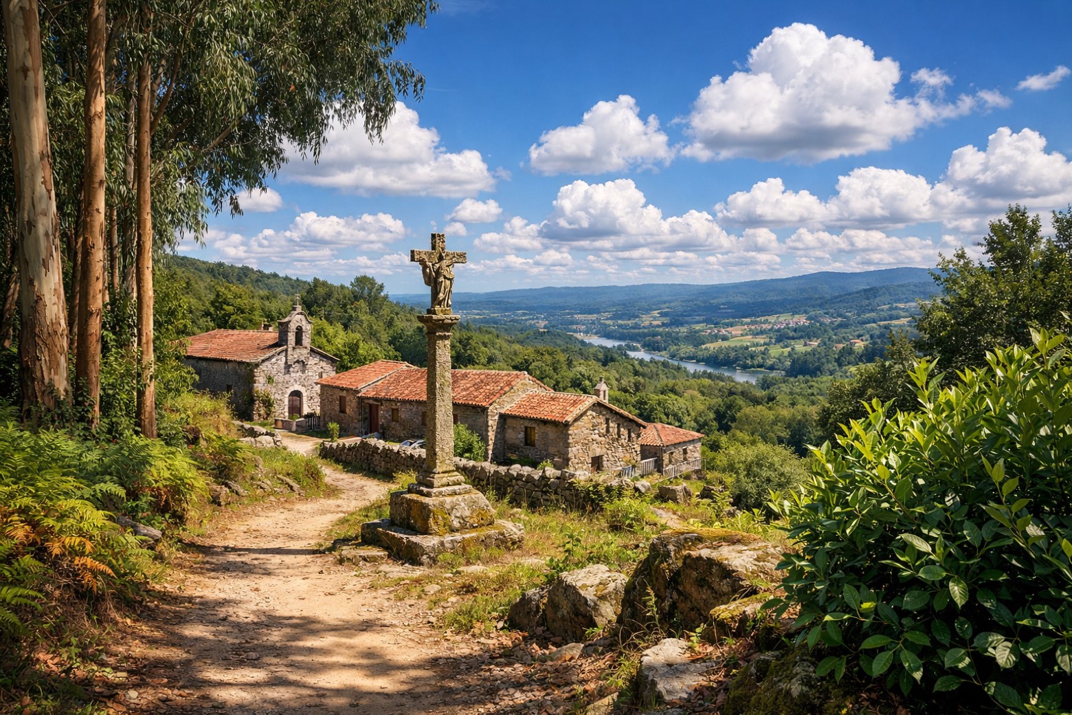 Stage 12
A Laxe → Outeiro
challenging- Distance
- 34 km
- Ascent
- 511 m
- Descent
- 691 m
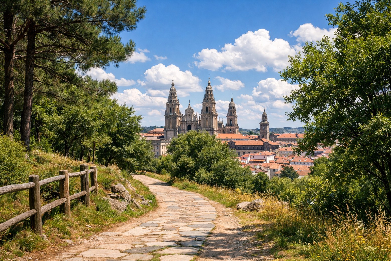 Stage 13
Outeiro → Santiago de Compostela
moderate- Distance
- 16 km
- Ascent
- 1591 m
- Descent
- 1675 m
Points of interest
- Monastery of Saint Pelagius of Antealtares
A Benedictine monastery born to watch over the newly found tomb of the Apostle James, with twelve monks at first.
- Arch of La Plata or Mañara
Archaeological site, in Seville, Spain, designated as cultural heritage.
- House of the Mitreo
Archaeological site, in Mérida, Spain, designated as bien de interés cultural.
- Monasterio de San Jerónimo
16th-century monastery in Renaissance style, dedicated to Jerome, in Zamora, Spain.
- Castillo
Castle. Castle, in Almadén de la Plata, Spain, designated as cultural heritage.
- San Martiño Pinario monastery
The second largest monastery in Spain after El Escorial, built around 899 by Benedictine monks and by the sixteenth century the most powerful in Galicia.
- Monastery of San Francisco do Val de Deus
A Franciscan convent founded in the early thirteenth century on land the Benedictines of San Martiño Pinario gave in exchange for a basket of fish a year, still delivered in the late 1700s.
- Palacio de Rajoy
18th-century neoclassical architecture palace. Designed by Carlos Lemaur.
Travel
Find connections for your cammino.
Search trainsMore walks in Spain
Plan your walking trip
All articles and guidesHow to choose a walking route: stages, days and ascent
How many days can you actually spend walking? Start there, then choose stages that leave you time to stop along the way.
How to plan a walking trip by train and bus
Two different stations, a last bus and a backpack. Fit the journeys out and home around the days you want to spend walking.
Take your walk with you: download Appy
Camino Sanabres. Explore maps, stages and elevation in the app, and plan your train or bus journey.

