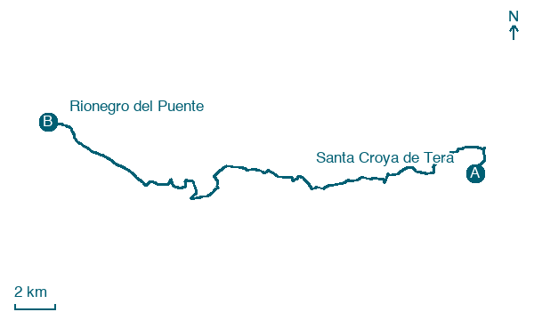
Santa Croya de Tera → Rionegro del Puente
Walking distance 29.9 km
Download Appy for the stage map
Stage information
- Ascent
- 124 m
- Descent
- 77 m
Difficulty: challenging (estimated)
Walking the stage
Pass Santa Marta de Tera and Camarzana de Tera on the 30 km from Santa Croya de Tera to Rionegro del Puente.
Look for these places on the stage map: Santa Marta de Tera, Pumarejo de Tera, Olleros de Tera, and Villar de Farfón.
What to see on this stage
History and landmarks
Church of Santa Marta de Tera
< 100 m from the trail as the crow flies
Monument, in Camarzana de Tera, Spain, designated as bien de interés cultural.
Santa Marta de Tera
< 100 m from the trail as the crow flies
Map · Santa Croya de Tera → Rionegro del Puente
Take your walk with you: download Appy
Camino Sanabres: Santa Croya de Tera → Rionegro del Puente. Explore maps, stages and elevation in the app, and plan your train or bus journey.

