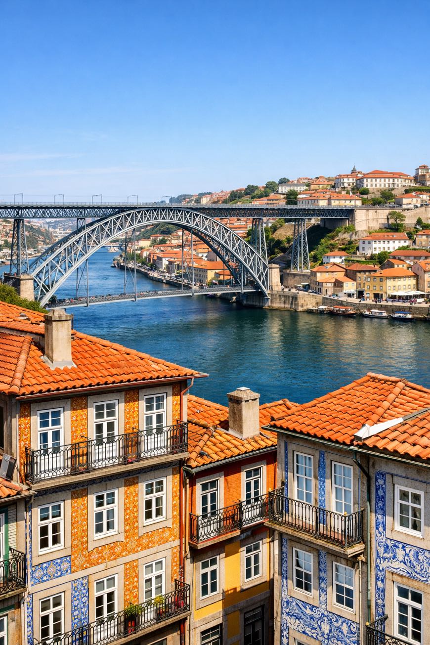
Camino Portugues Central (Spain section)
Galicia, Spain
Spain · Porto → Santiago de Compostela
Distance
245 km
Stages
11
Difficulty
moderate
Best months
Apr-Jun, Sep-Oct
Camino Portugues Central (Spain section) · Stages and distances
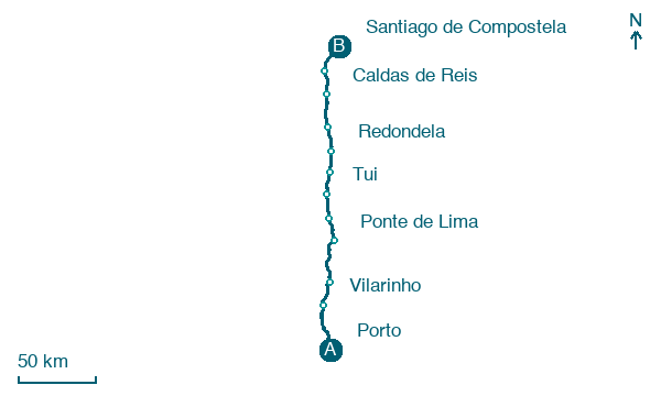
Walking distances for Appy’s stages (11)
| Stage | km |
|---|---|
| 1. Porto → Vilarinho | 35.5 |
| 2. Vilarinho → Barcelos | 19.5 |
| 3. Barcelos → Ponte de Lima | 33.7 |
| 4. Ponte de Lima → Rubiães | 17.7 |
| 5. Rubiães → Tui | 18.4 |
| 6. Tui → O Porriño | 18.2 |
| 7. O Porriño → Redondela | 16.4 |
| 8. Redondela → Pontevedra | 18.2 |
| 9. Pontevedra → Caldas de Reis | 22.9 |
| 10. Caldas de Reis → Padrón | 18.9 |
| 11. Padrón → Santiago de Compostela | 25.3 |
| Total | 244.7 |
About
About 240 kilometers from Tui to Santiago de Compostela, a journey in centuries of tradition. This spiritual route unfolds in 11 stages, each revealing the lush greens of Galicia, punctuated by the aroma of pulpo a la gallega wafting from village kitchens.
Along the way, you’ll encounter San Bartolomeu and O Quinteiro, where history whispers through ancient stones. With an elevation gain of 3,310 meters, the terrain challenges yet rewards.
The Camino Portugues Central is not just a walk; it’s a passage through culture, landscape, and self.
Stages
11 stages
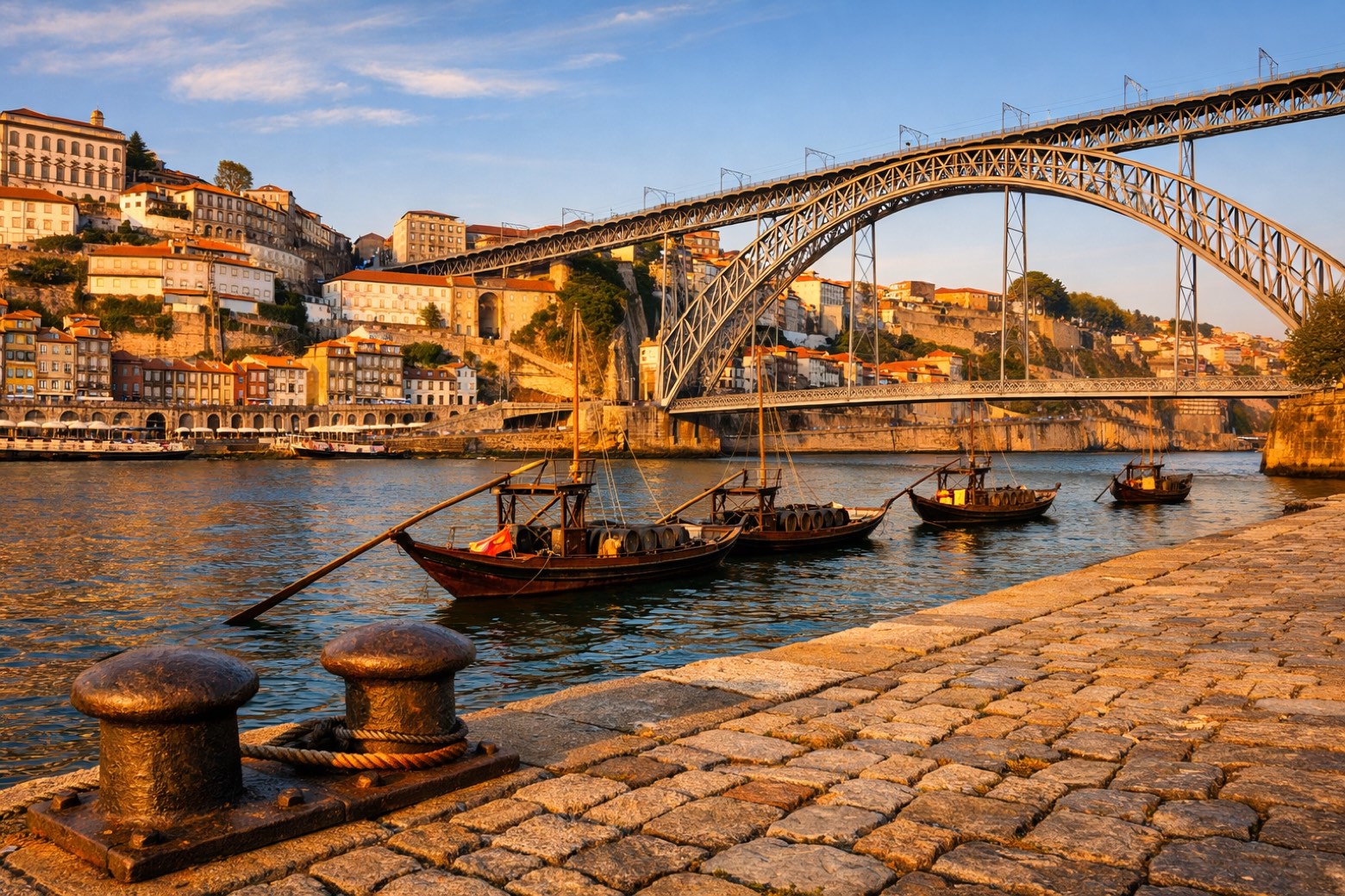 Stage 1
Porto → Vilarinho
challenging- Distance
- 36 km
- Ascent
- 307 m
- Descent
- 324 m
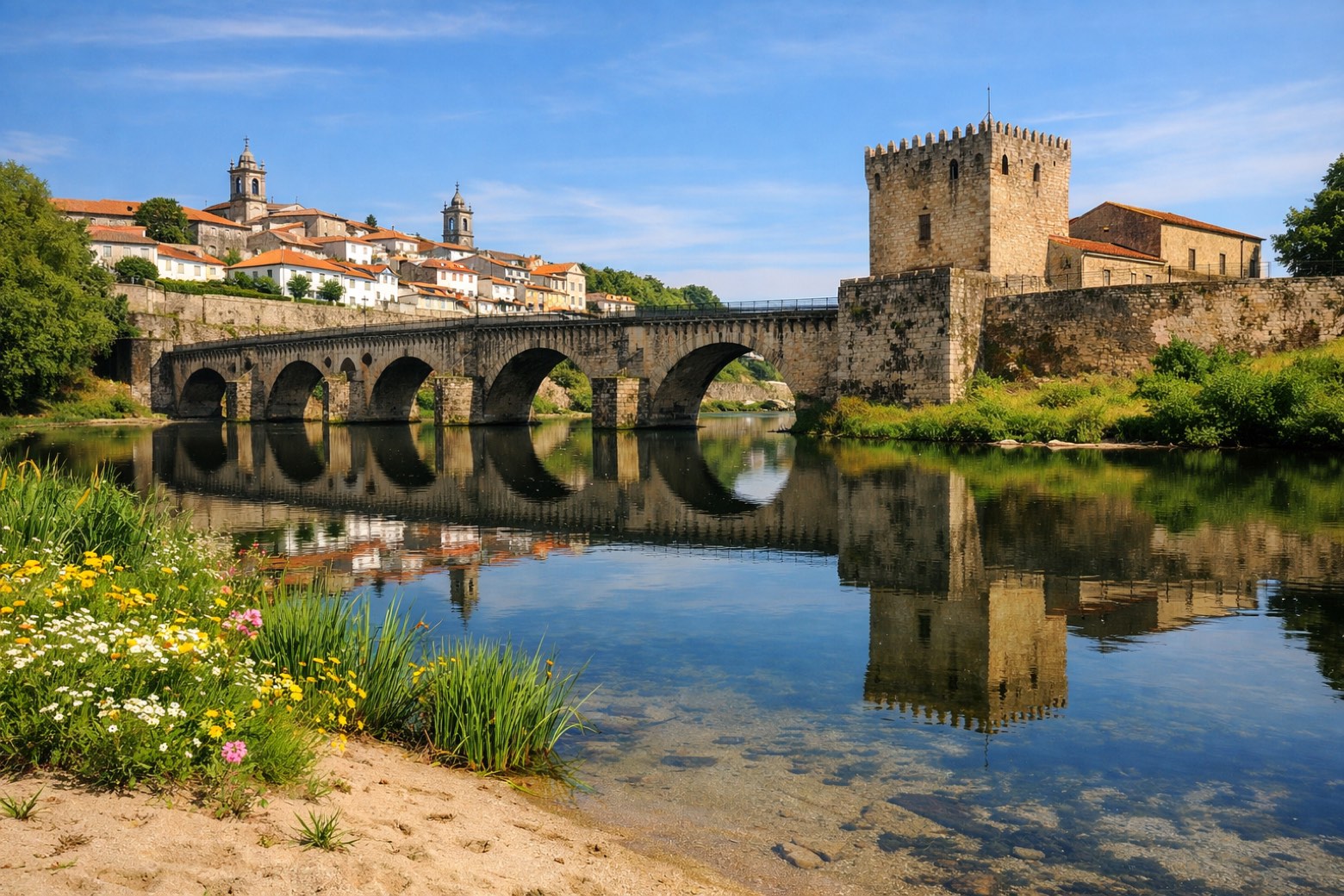 Stage 2
Vilarinho → Barcelos
moderate- Distance
- 20 km
- Ascent
- 196 m
- Descent
- 210 m
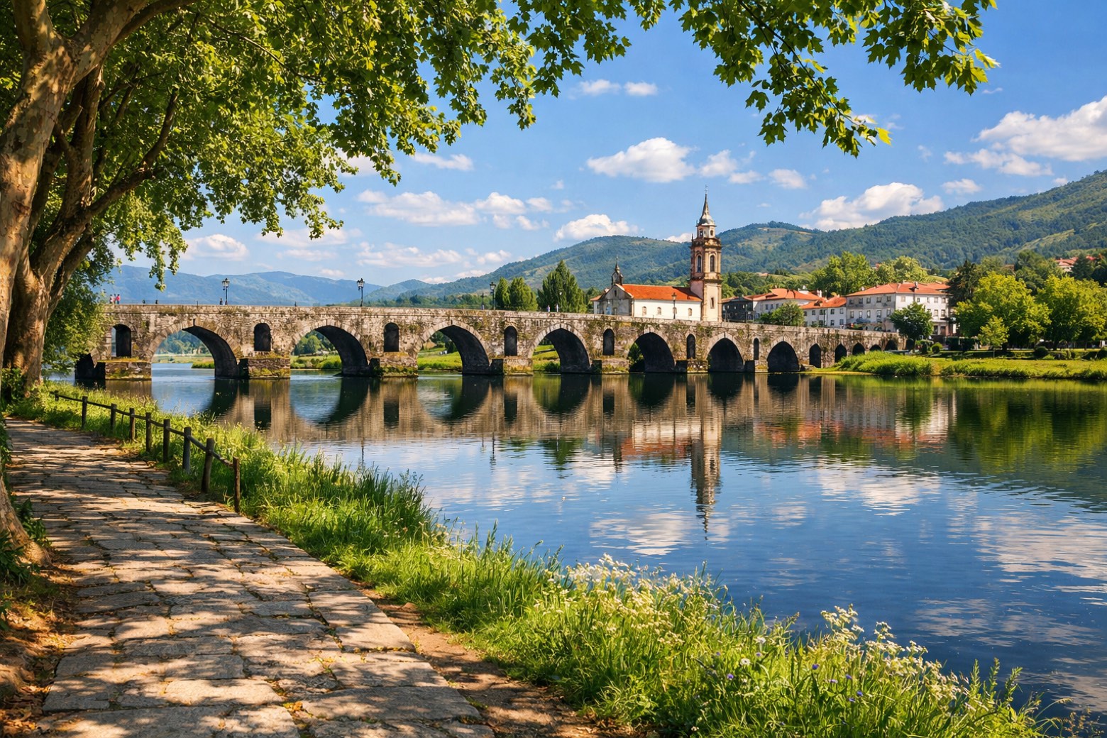 Stage 3
Barcelos → Ponte de Lima
challenging- Distance
- 34 km
- Ascent
- 336 m
- Descent
- 362 m
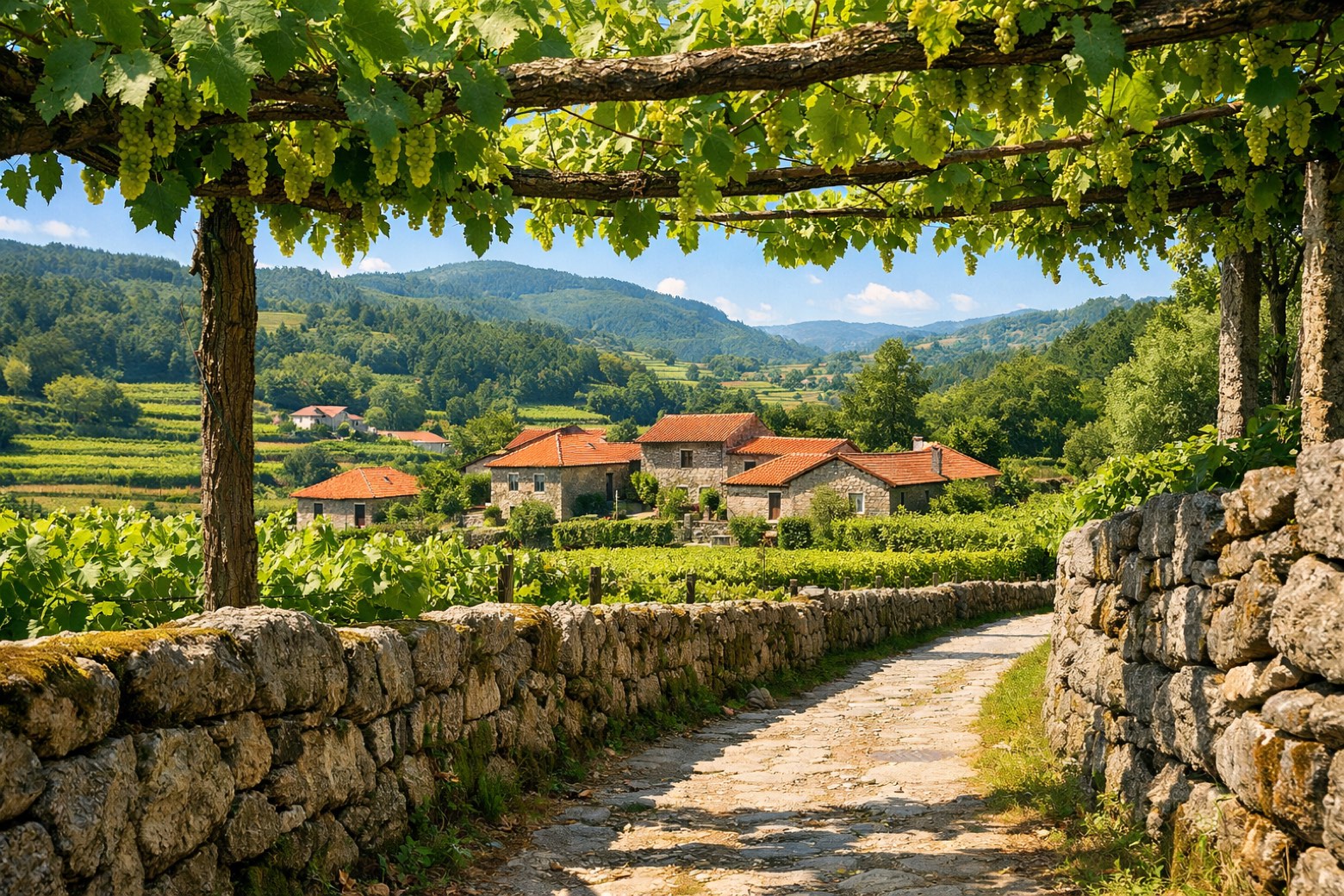 Stage 4
Ponte de Lima → Rubiães
moderate- Distance
- 18 km
- Ascent
- 400 m
- Descent
- 182 m
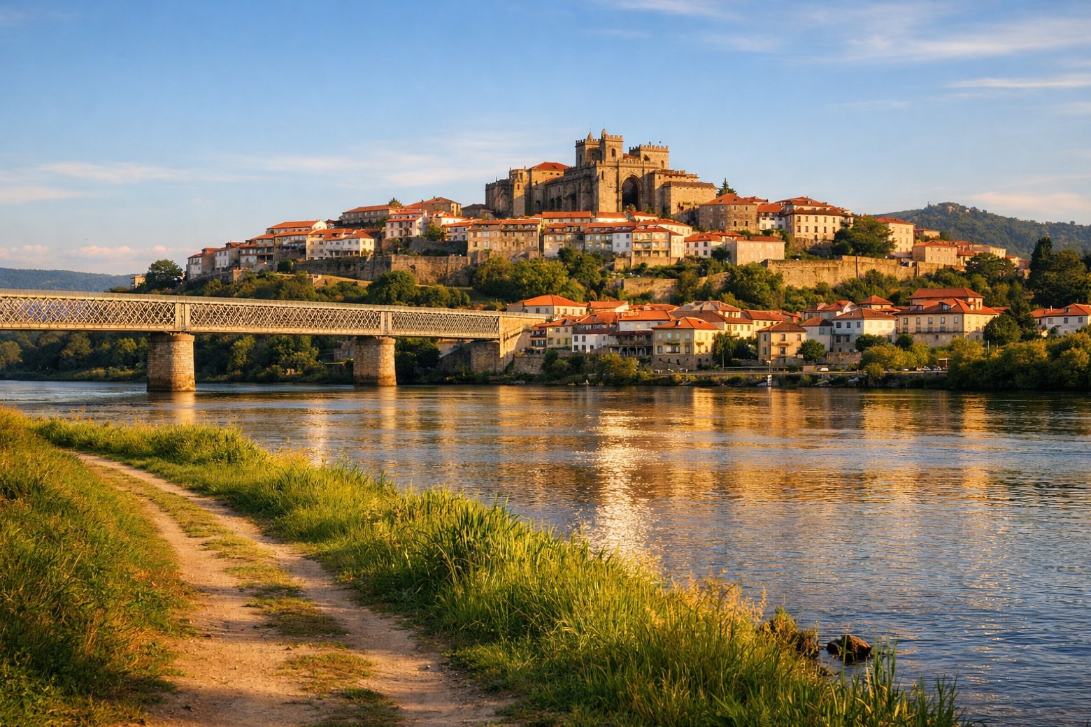 Stage 5
Rubiães → Tui
moderate- Distance
- 18 km
- Ascent
- 174 m
- Descent
- 356 m
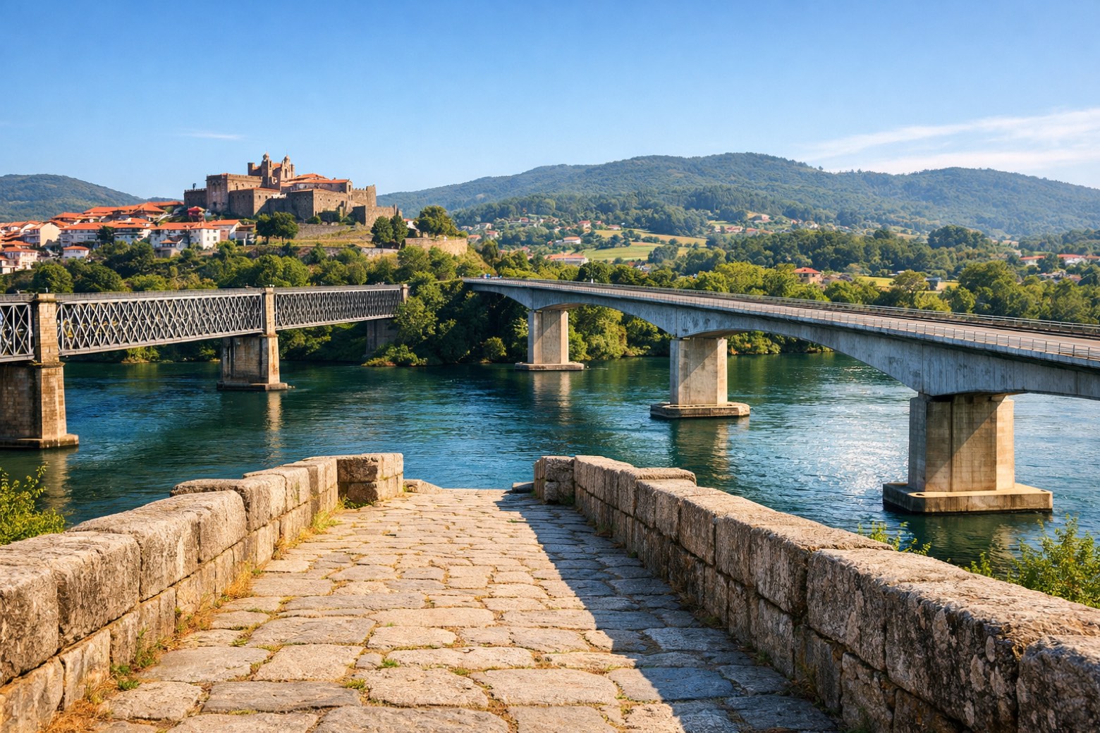 Stage 6
Tui → O Porriño
moderate- Distance
- 18 km
- Ascent
- 93 m
- Descent
- 91 m
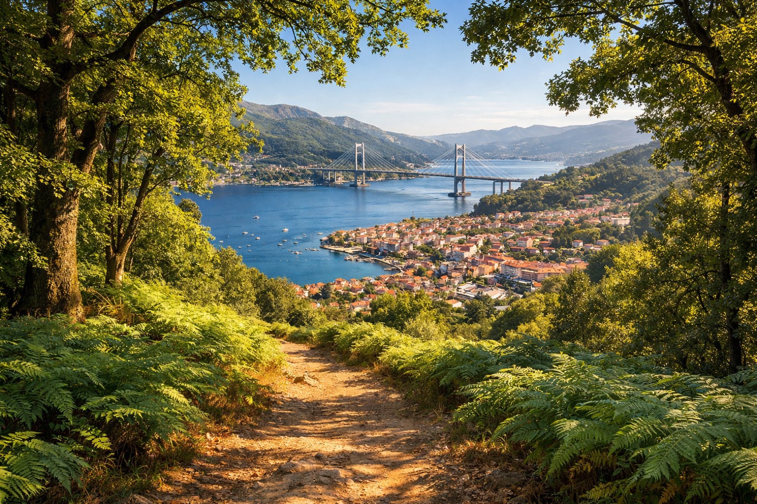 Stage 7
O Porriño → Redondela
moderate- Distance
- 16 km
- Ascent
- 237 m
- Descent
- 247 m
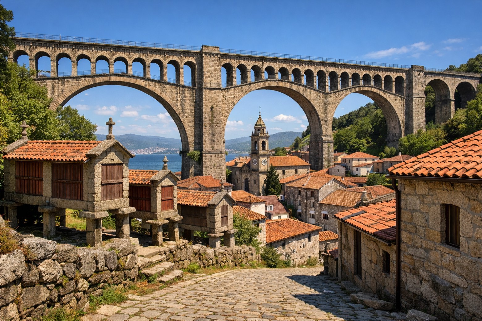 Stage 8
Redondela → Pontevedra
moderate- Distance
- 18 km
- Ascent
- 290 m
- Descent
- 275 m
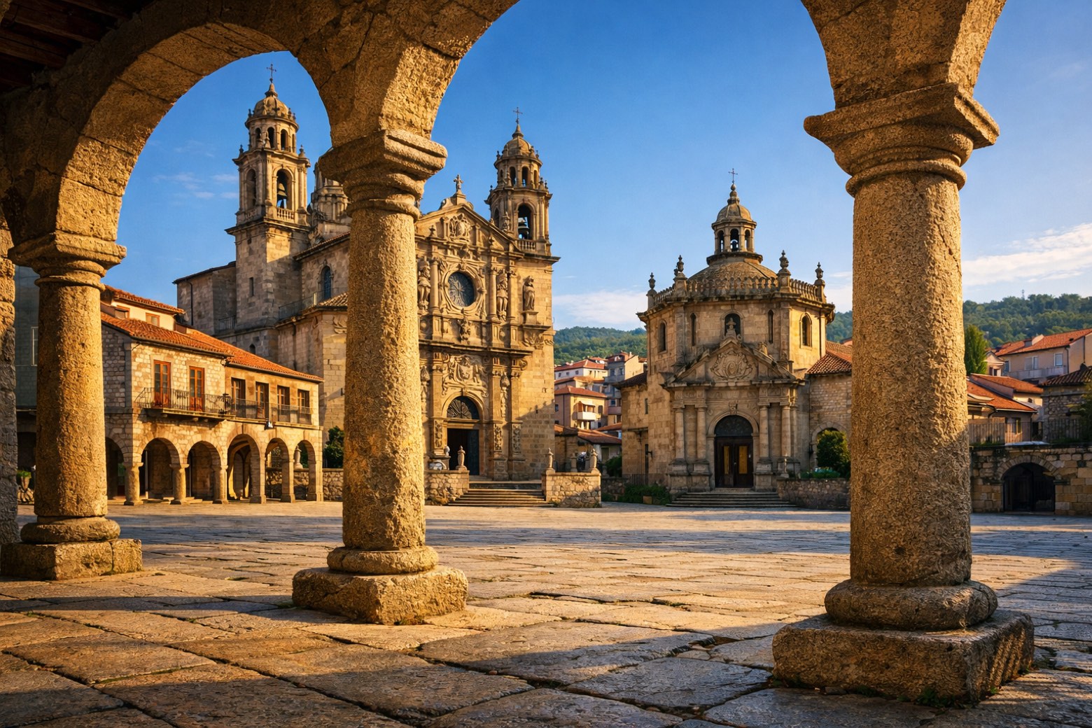 Stage 9
Pontevedra → Caldas de Reis
moderate- Distance
- 23 km
- Ascent
- 143 m
- Descent
- 132 m
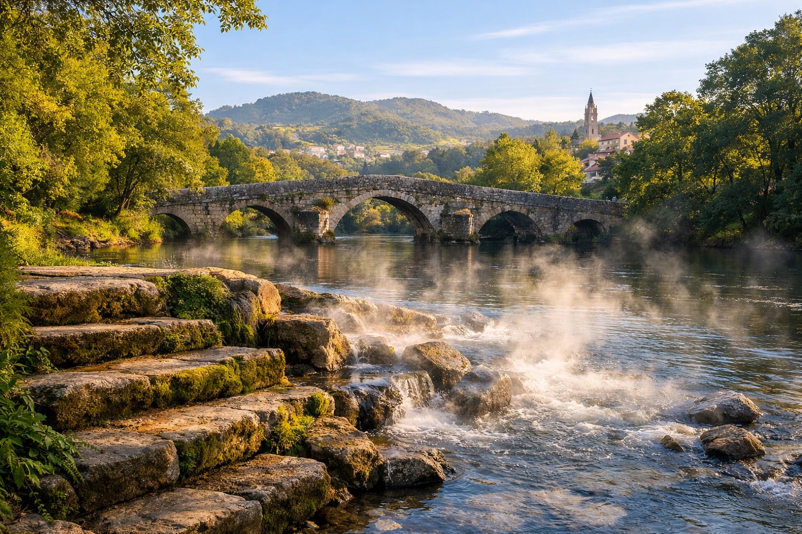 Stage 10
Caldas de Reis → Padrón
moderate- Distance
- 19 km
- Ascent
- 152 m
- Descent
- 179 m
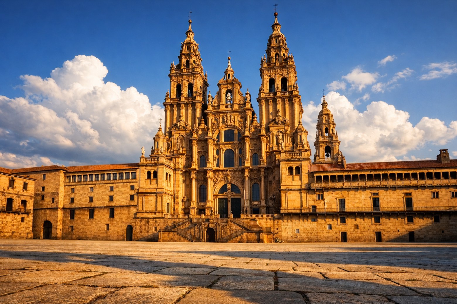 Stage 11
Padrón → Santiago de Compostela
challenging- Distance
- 25 km
- Ascent
- 370 m
- Descent
- 124 m
Points of interest
- Monastery of Saint Pelagius of Antealtares
A Benedictine monastery born to watch over the newly found tomb of the Apostle James, with twelve monks at first.
- Monte Penide
Natural landmark, in Redondela, Spain, at 449 m elevation.
- San Martiño Pinario monastery
The second largest monastery in Spain after El Escorial, built around 899 by Benedictine monks and by the sixteenth century the most powerful in Galicia.
- Monastery of San Francisco do Val de Deus
A Franciscan convent founded in the early thirteenth century on land the Benedictines of San Martiño Pinario gave in exchange for a basket of fish a year, still delivered in the late 1700s.
- Palacio de Rajoy
18th-century neoclassical architecture palace. Designed by Carlos Lemaur.
- Monument to Saint Francis
20th-century monument, designed by Francisco Asorey, in Santiago de Compostela, Spain, at 256 m elevation, 12 m tall, built in marble.
- Museum of the Cathedral of Santiago de Compostela
20th-century museum, in Santiago de Compostela, Spain.
- Museo das Peregrinacións e de Santiago
Museum of Pilgrimages and Santiago. 20th-century museum, in Santiago de Compostela, Spain, designated as cultural heritage.
All places linked to Camino Portugues Central (Spain section)
Travel
Find connections for your cammino.
Search trainsMore walks in Spain
Plan your walking trip
All articles and guidesHow to choose a walking route: stages, days and ascent
How many days can you actually spend walking? Start there, then choose stages that leave you time to stop along the way.
How to plan a walking trip by train and bus
Two different stations, a last bus and a backpack. Fit the journeys out and home around the days you want to spend walking.
Take your walk with you: download Appy
Camino Portugues Central (Spain section). Explore maps, stages and elevation in the app, and plan your train or bus journey.

