Xunqueira de Ambía → Ourense
Walking distance 22.5 km
Download Appy for the stage map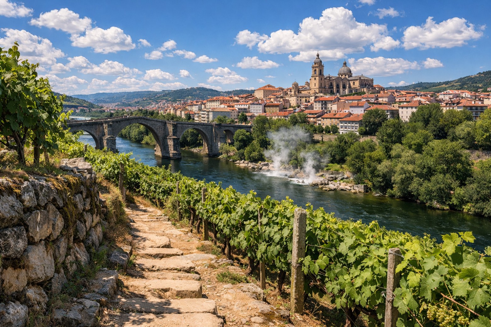
Stage information
- Ascent
- 113 m
- Descent
- 483 m
Difficulty: moderate (estimated)
Walking the stage
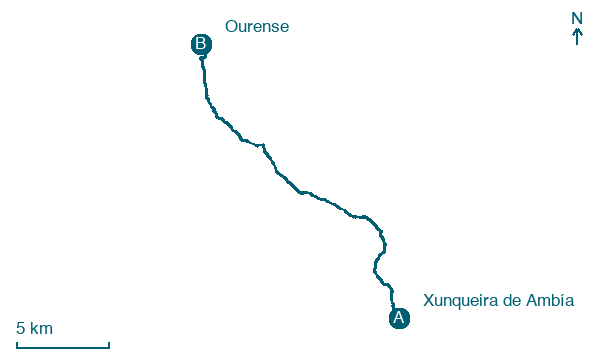
Wander 22 km from Xunqueira de Ambía to Ourense, through Outorelo, Salgueiros and Penelas, with 113 m of climbing.
On arrival in Ourense, consider a stop at Museo Municipal de Ourense, close to the finish.
Look for these places on the stage map: Outorelo, Penelas, Reboredo, and O Castelo.
What to see on this stage
History and landmarks
Museo Municipal de Ourense
Museum · < 100 m from the trail as the crow flies
Museum, in Ourense, Spain.
Ourense Cathedral
< 100 m from the trail as the crow flies
A Romanesque cathedral of the 12th and 13th centuries with Gothic additions up to the early 1500s, on a site where a church stood from 550. The Portal of Paradise is carved with angels and saints, and the Christ's Chapel holds an image brought from Cape Finisterre in 1330.
Nature and landscape
Unión Deportiva Ourense
1,000 m from the trail as the crow flies
Gorge. Unión Deportiva Ourense is a Spanish football club based in Ourense, in the autonomous community of Galicia.
Coto de Áspera
Summit · 800 m from the trail as the crow flies
Map · Xunqueira de Ambía → Ourense
Take your walk with you: download Appy
Camino Sanabres: Xunqueira de Ambía → Ourense. Explore maps, stages and elevation in the app, and plan your train or bus journey.

