Lycian Way
Antalya, Türkiye
Türkiye · Geyikbayırı, Turkey → Ölüdeniz Mahallesi, Turkey
Distance
449 km
Stages
19
Difficulty
moderate
Best months
Apr-May, Sep-Oct
Lycian Way · Stages and distances
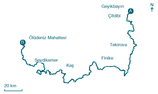
Walking distances for Appy’s stages (19)
| Stage | km |
|---|---|
| 1. Geyikbayırı → Çitdibi | 18 |
| 2. Çitdibi → Kemer | 18.6 |
| 3. Kemer → Kemer | 15 |
| 4. Kemer → Kemer | 18.7 |
| 5. Kemer → Tekirova | 26 |
| 6. Tekirova → Kumluca | 21.9 |
| 7. Kumluca → Kumluca | 18.9 |
| 8. Kumluca → Kumluca | 28.1 |
| 9. Kumluca → Finike | 35.5 |
| 10. Finike → Gürses | 28.3 |
| 11. Gürses → Kaş | 22.3 |
| 12. Kaş → Kaş | 21.6 |
| 13. Kaş → Kaş | 23 |
| 14. Kaş → Bezirgan | 27.6 |
| 15. Bezirgan → Gelemiş | 25.1 |
| 16. Gelemiş → İslamlar | 24.2 |
| 17. İslamlar → Seydikemer | 31.5 |
| 18. Seydikemer → Karaağaç | 22.5 |
| 19. Karaağaç → Ölüdeniz Mahallesi | 21.7 |
| Total | 448.5 |
About
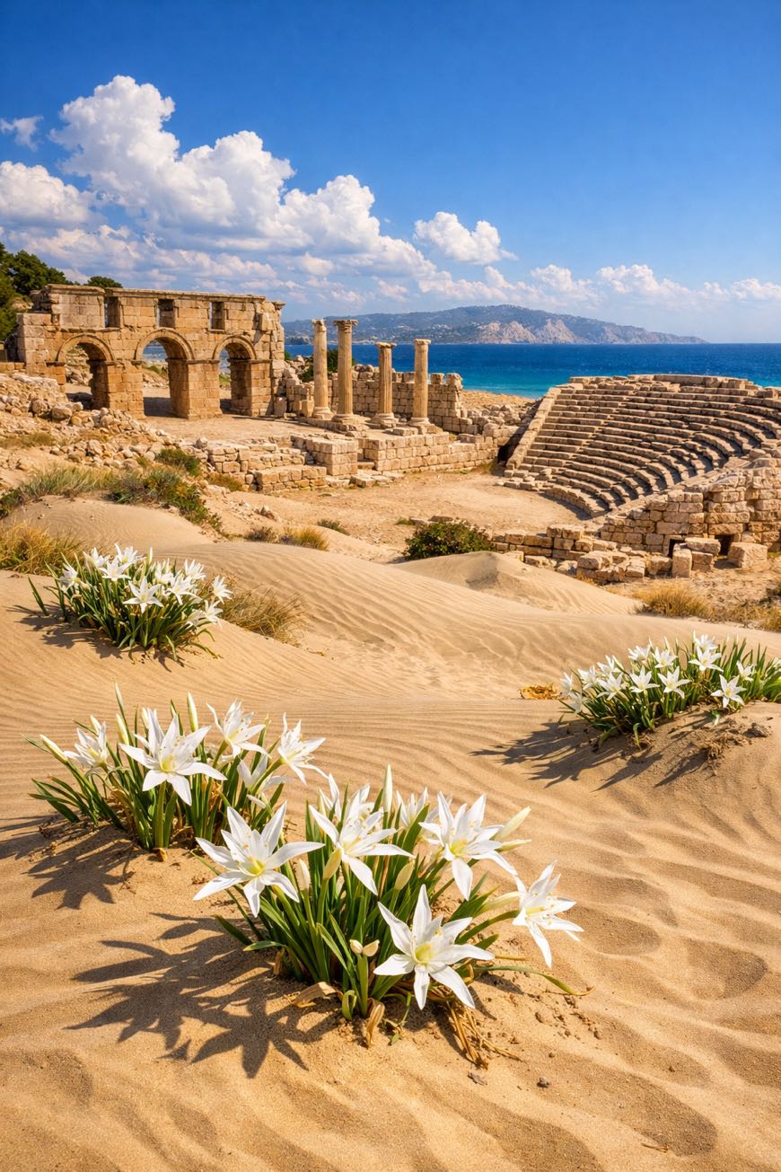
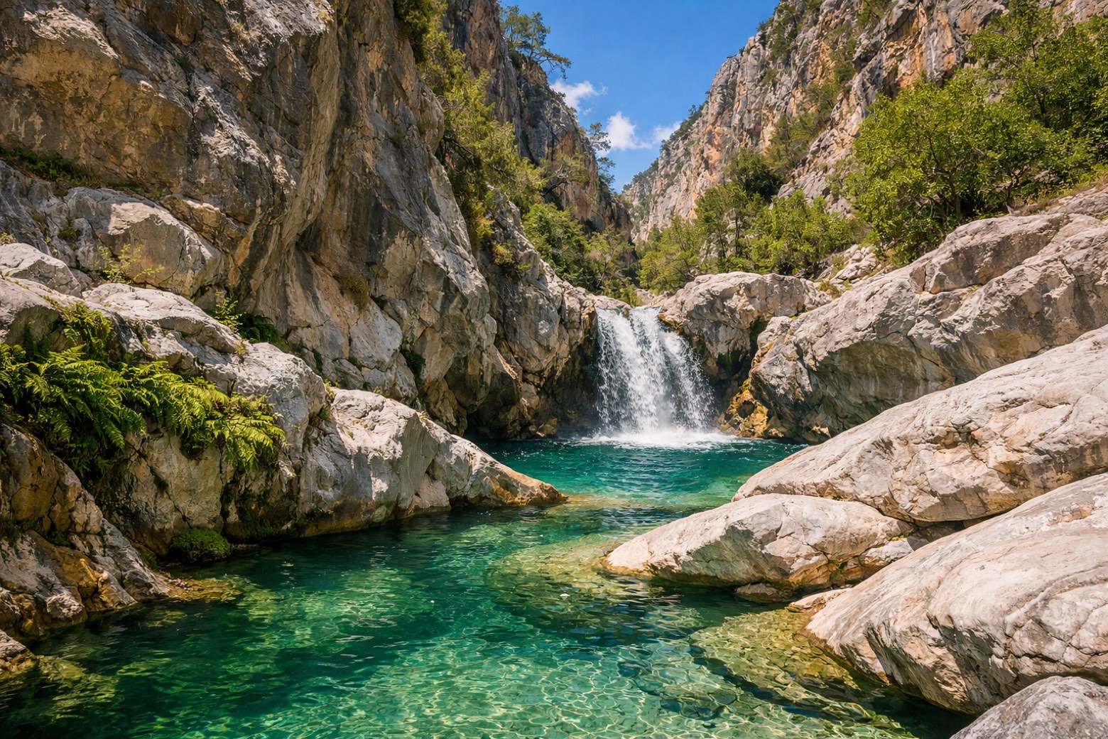
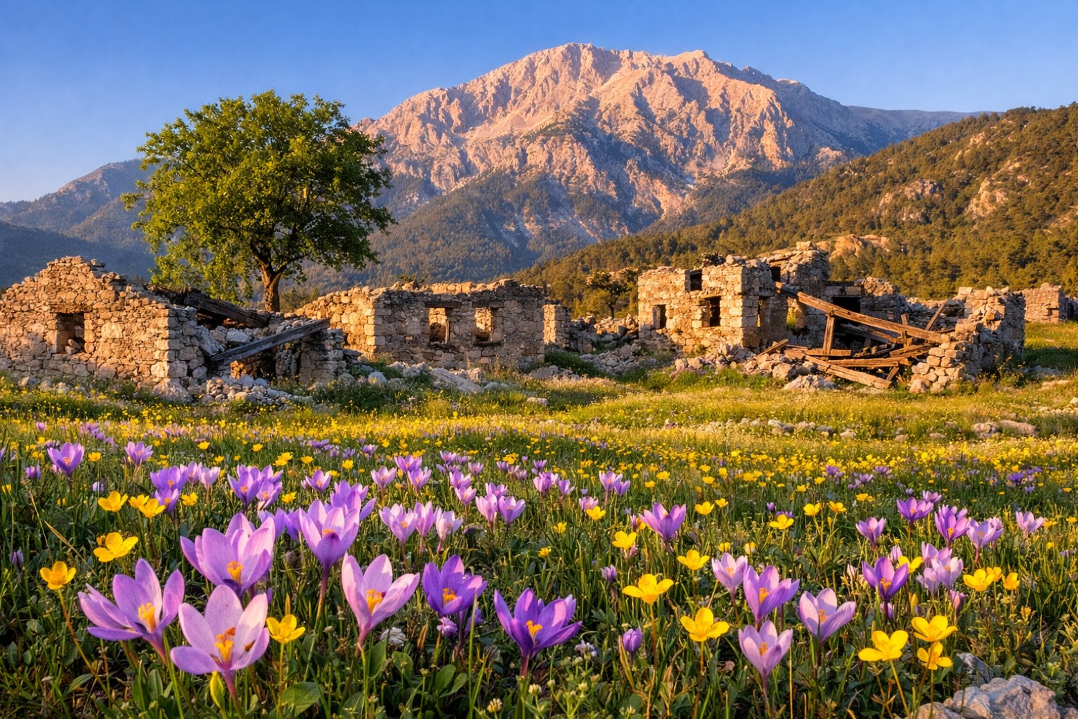
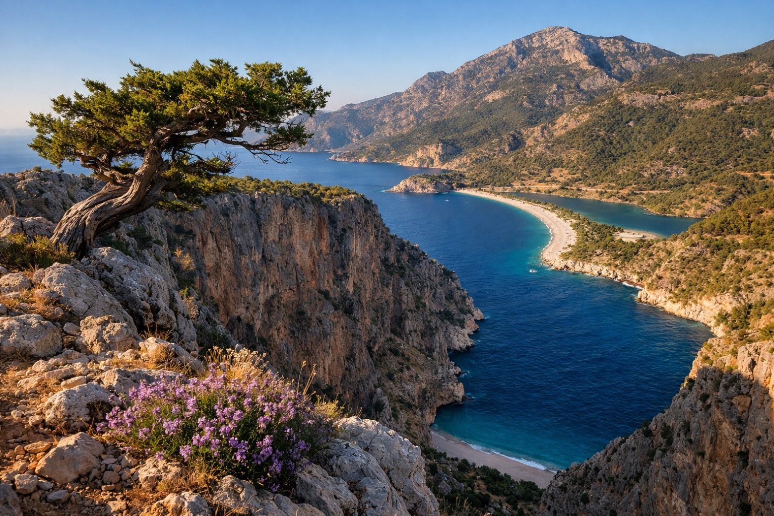
A rugged about 450 km journey from Geyikbayırı to Ölüdeniz Mahallesi. The Lycian Way weaves through ancient ruins and sun-baked coastal paths, where the scent of wild thyme mingles with salt air.
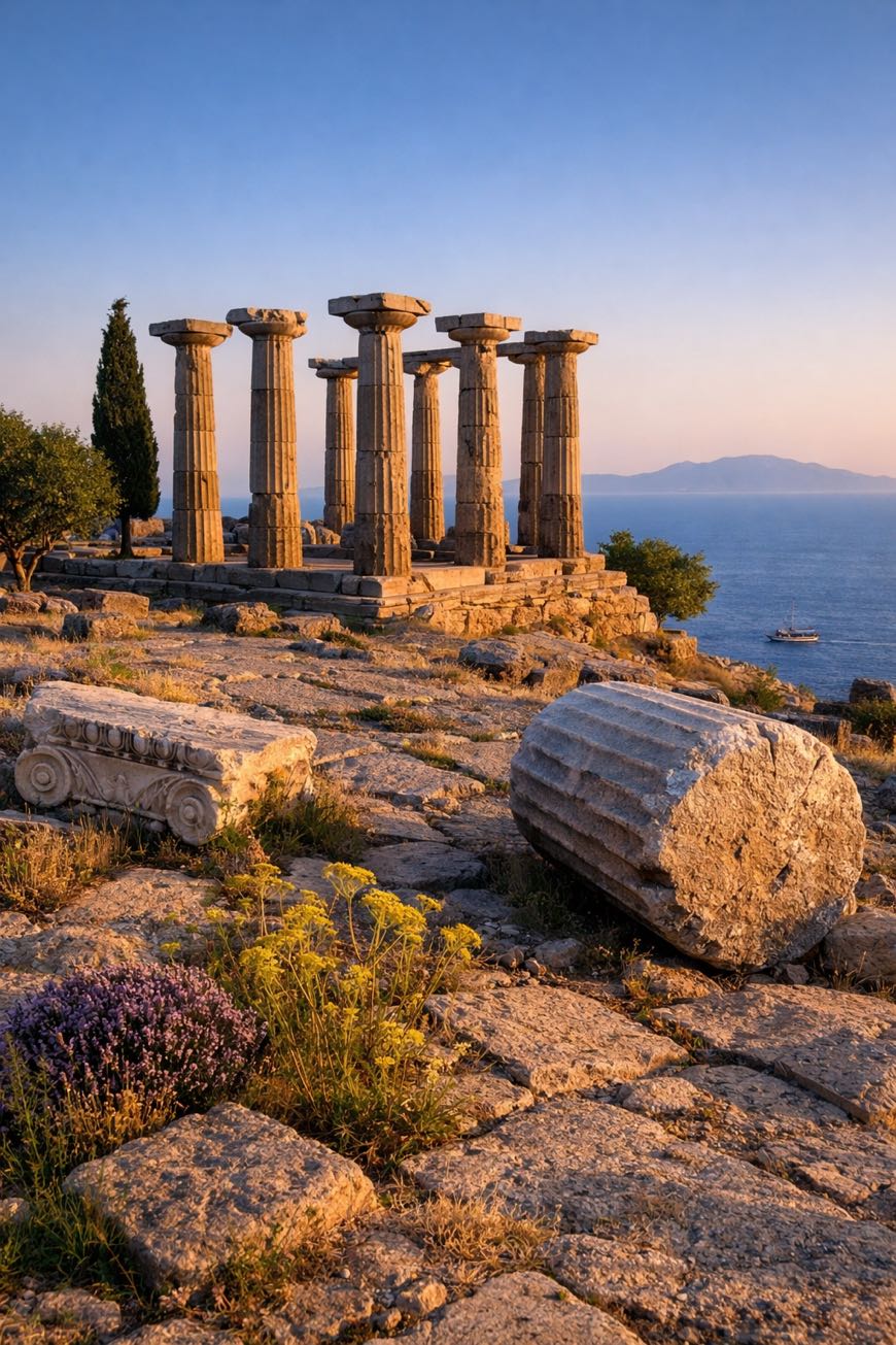
19 stages, 15,755 meters of elevation gain, and a landscape that shifts from rocky mountains to serene beaches. You’ll pass the amphitheater at Patara and the rock tombs of Myra, remnants of the Lycian civilization.
Accessible year-round, this trail demands skill but rewards with stunning Mediterranean vistas and a deep connection to Turkey’s storied past.
Stages
19 stages
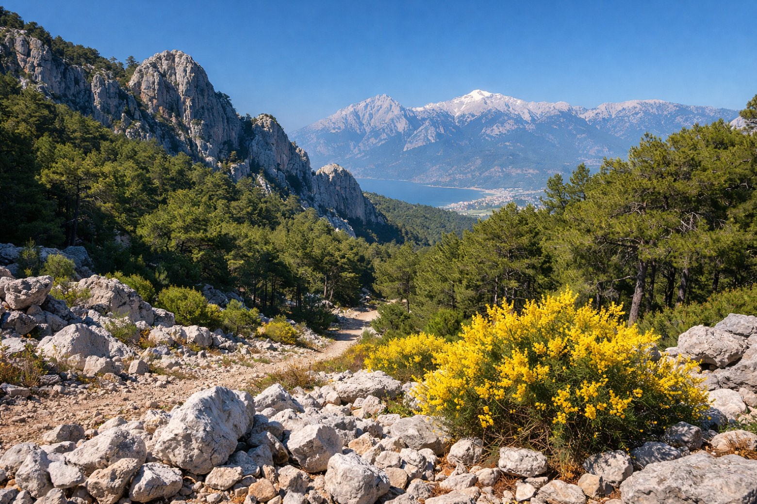 Stage 1
Geyikbayırı → Çitdibi
challenging- Distance
- 18 km
- Ascent
- 1184 m
- Descent
- 996 m
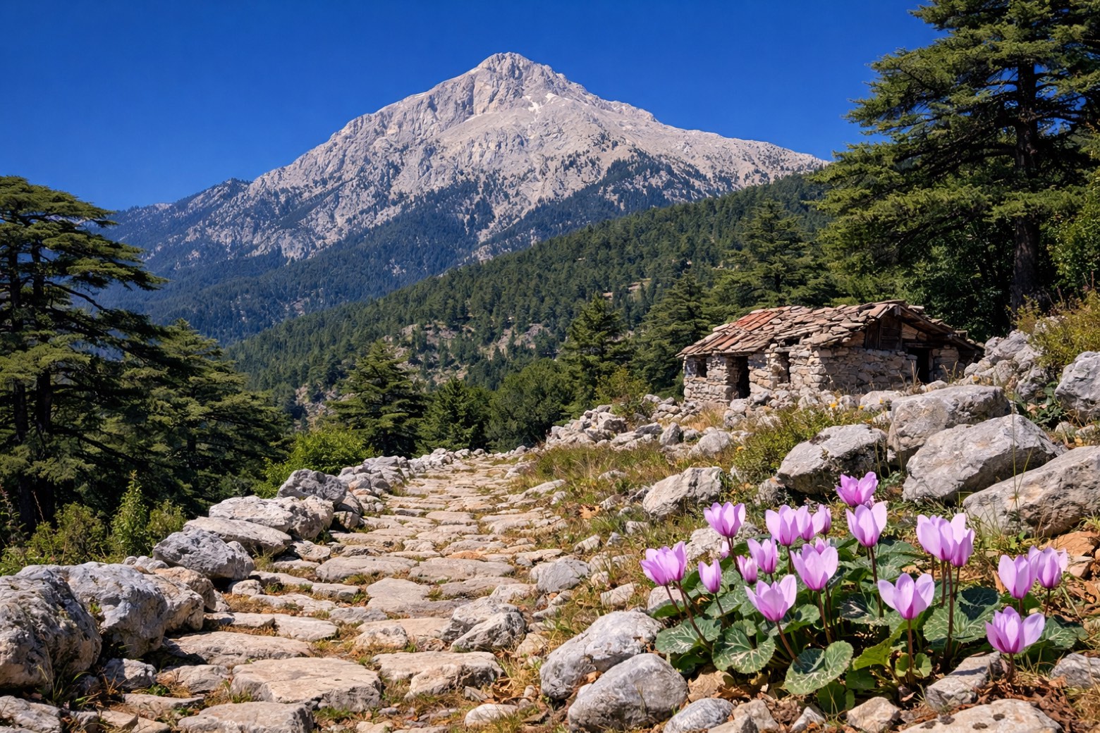 Stage 2
Çitdibi → Kemer
challenging- Distance
- 19 km
- Ascent
- 1103 m
- Descent
- 760 m
 Stage 3
Kemer → Kemer
challenging- Distance
- 15 km
- Ascent
- 785 m
- Descent
- 1385 m
 Stage 4
Kemer → Kemer
moderate- Distance
- 19 km
- Ascent
- 713 m
- Descent
- 863 m
 Stage 5
Kemer → Tekirova
moderate- Distance
- 26 km
- Ascent
- 495 m
- Descent
- 612 m
 Stage 6
Tekirova → Kumluca
moderate- Distance
- 22 km
- Ascent
- 616 m
- Descent
- 580 m
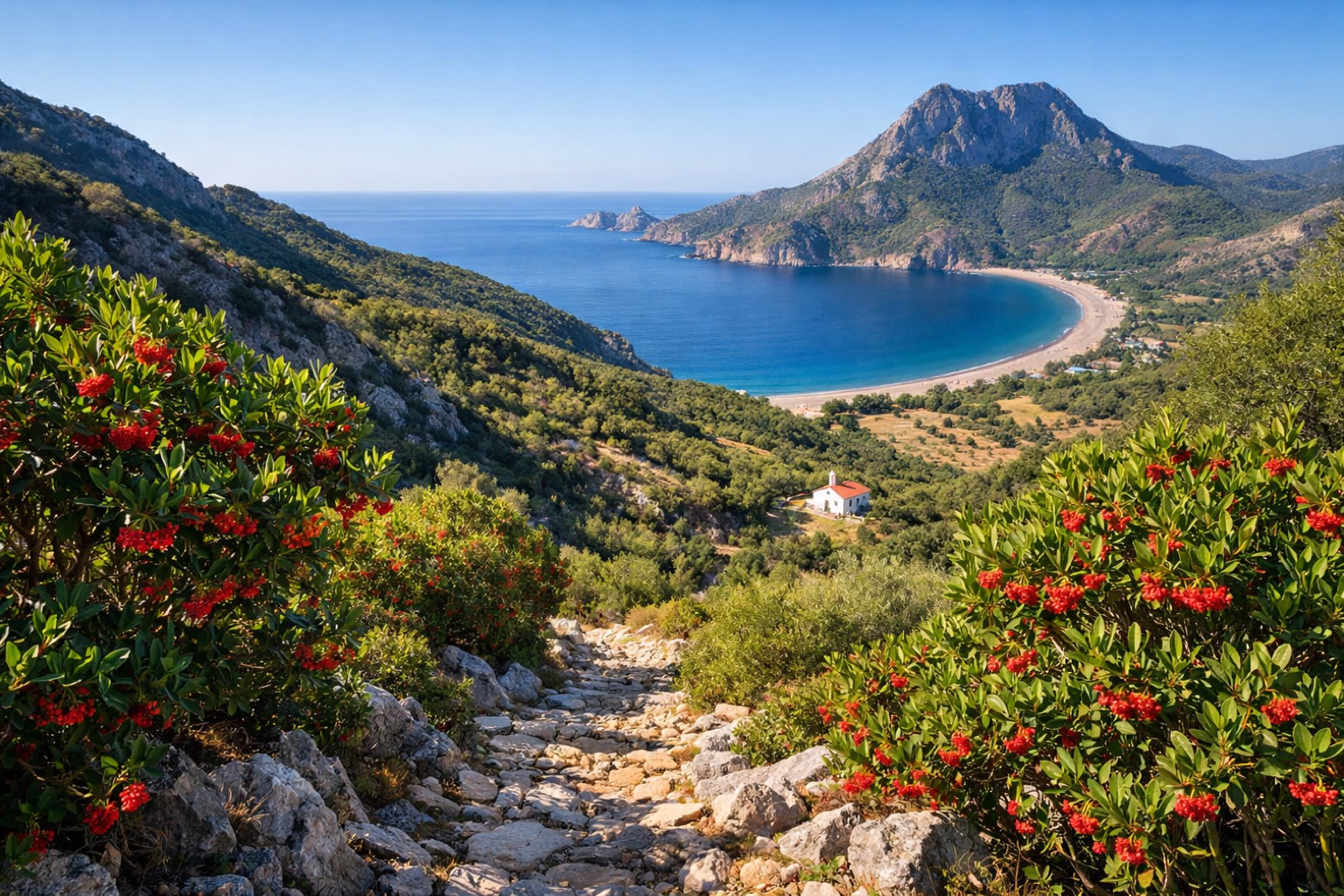 Stage 7
Kumluca → Kumluca
challenging- Distance
- 19 km
- Ascent
- 988 m
- Descent
- 923 m
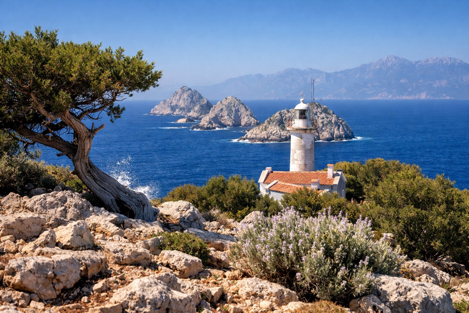 Stage 8
Kumluca → Kumluca
challenging- Distance
- 28 km
- Ascent
- 633 m
- Descent
- 774 m
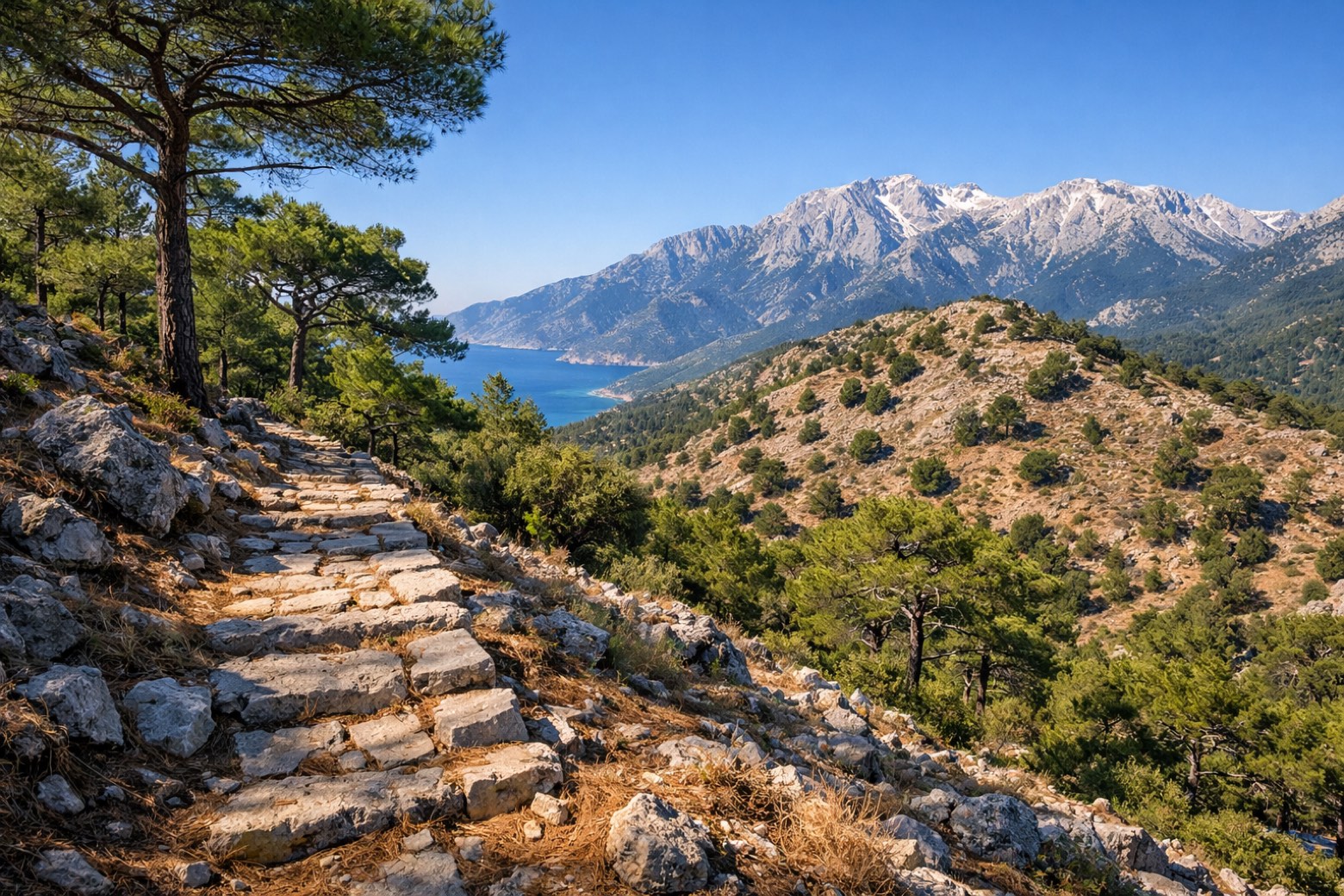 Stage 9
Kumluca → Finike
moderate- Distance
- 36 km
- Ascent
- 1809 m
- Descent
- 69 m
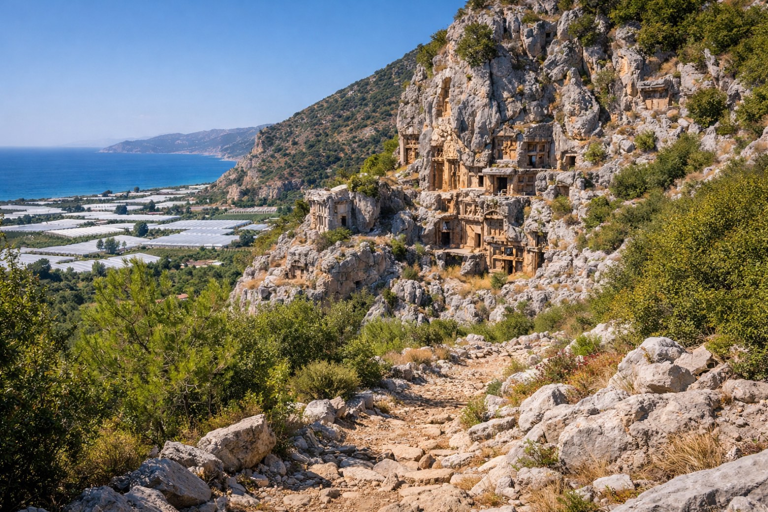 Stage 10
Finike → Gürses
moderate- Distance
- 28 km
- Ascent
- 269 m
- Descent
- 2023 m
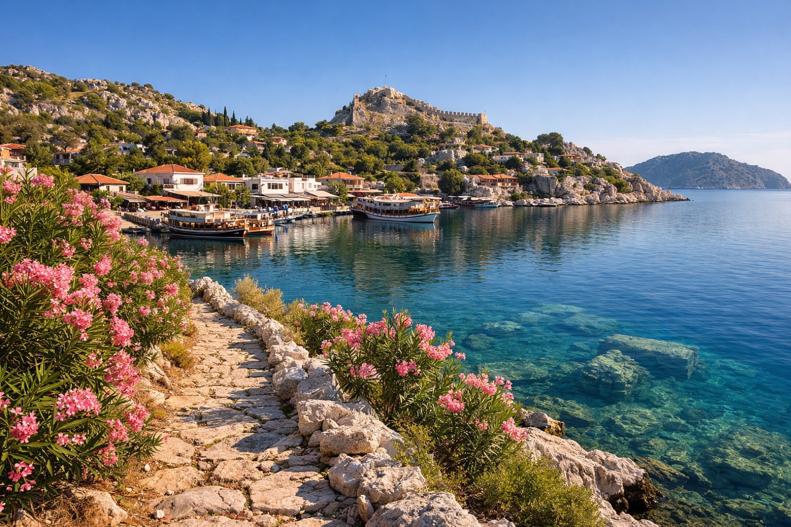 Stage 11
Gürses → Kaş
moderate- Distance
- 22 km
- Ascent
- 375 m
- Descent
- 330 m
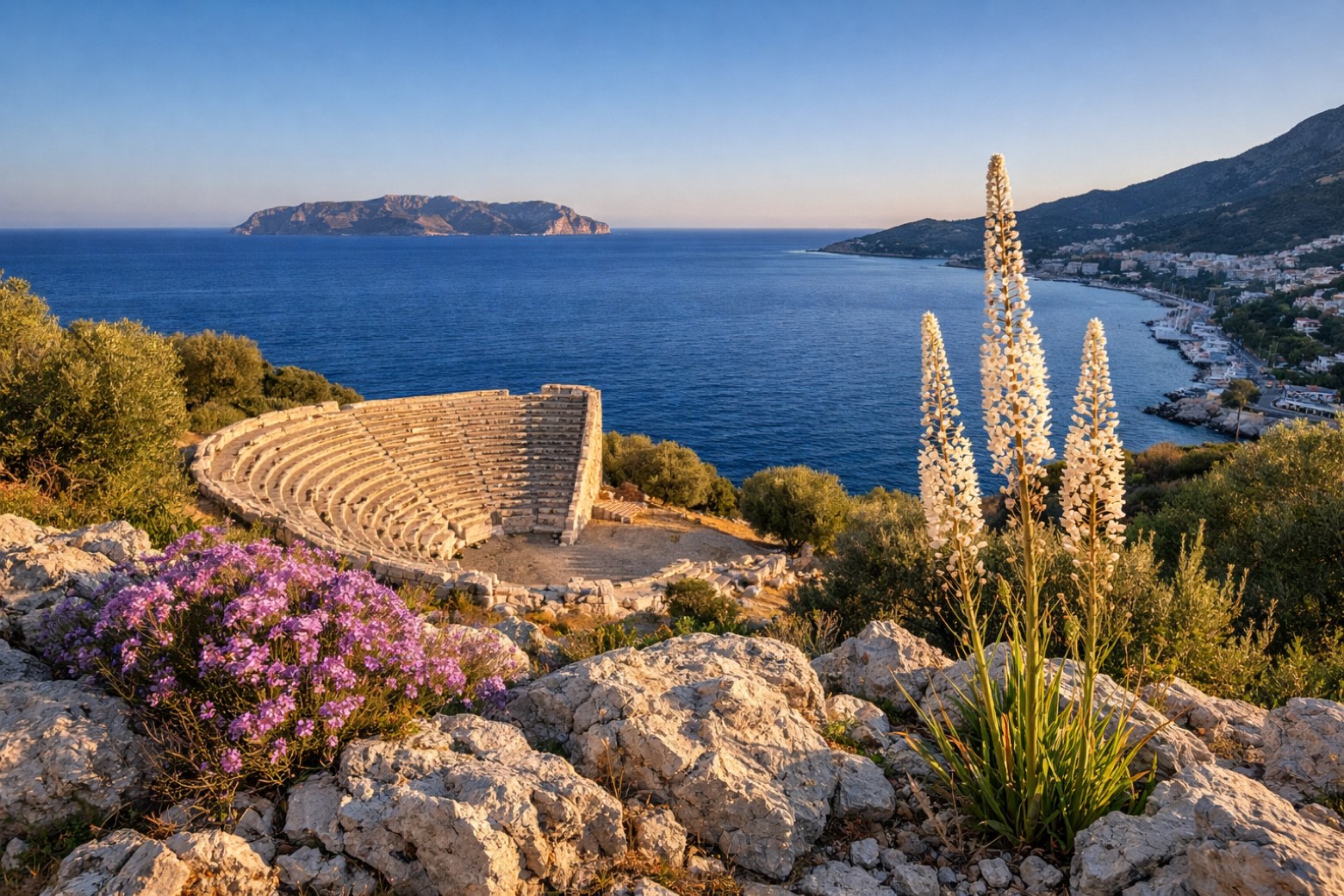 Stage 12
Kaş → Kaş
moderate- Distance
- 22 km
- Ascent
- 656 m
- Descent
- 689 m
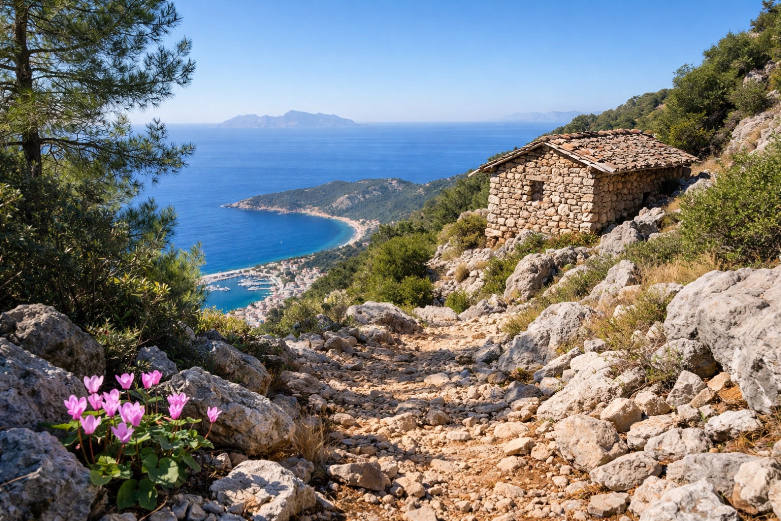 Stage 13
Kaş → Kaş
challenging- Distance
- 23 km
- Ascent
- 1132 m
- Descent
- 623 m
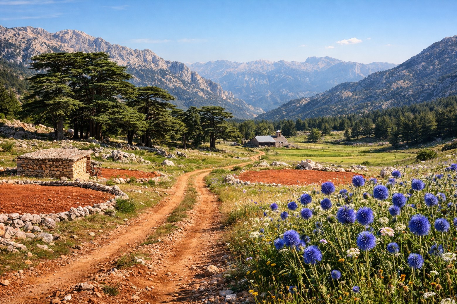 Stage 14
Kaş → Bezirgan
challenging- Distance
- 28 km
- Ascent
- 806 m
- Descent
- 599 m
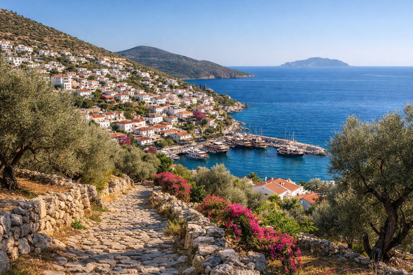 Stage 15
Bezirgan → Gelemiş
moderate- Distance
- 25 km
- Ascent
- 576 m
- Descent
- 1194 m
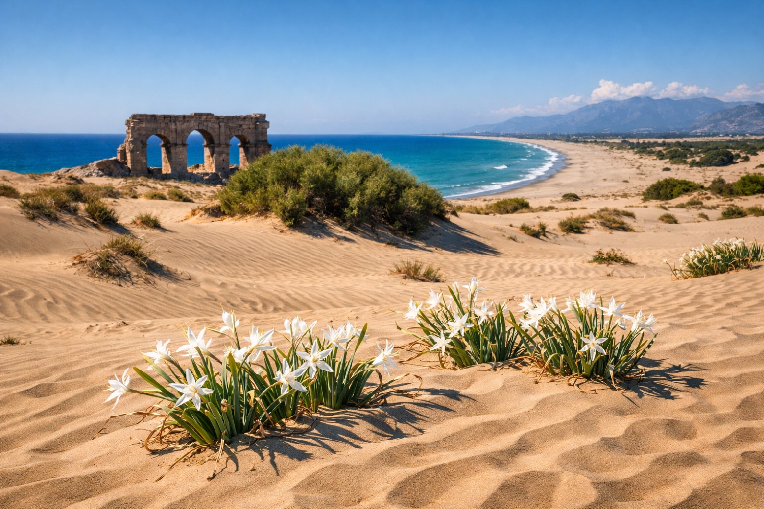 Stage 16
Gelemiş → İslamlar
challenging- Distance
- 24 km
- Ascent
- 770 m
- Descent
- 608 m
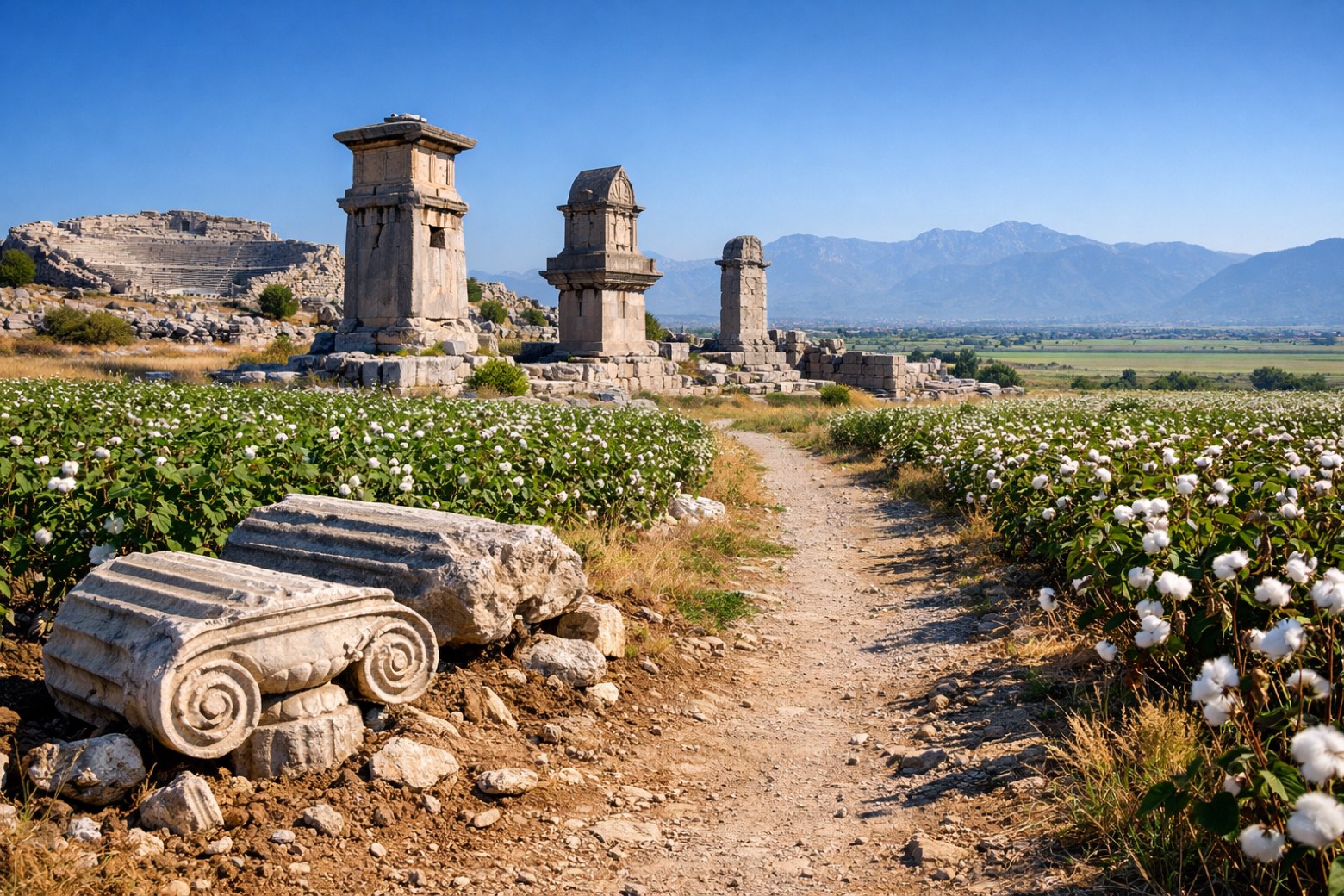 Stage 17
İslamlar → Seydikemer
challenging- Distance
- 32 km
- Ascent
- 462 m
- Descent
- 717 m
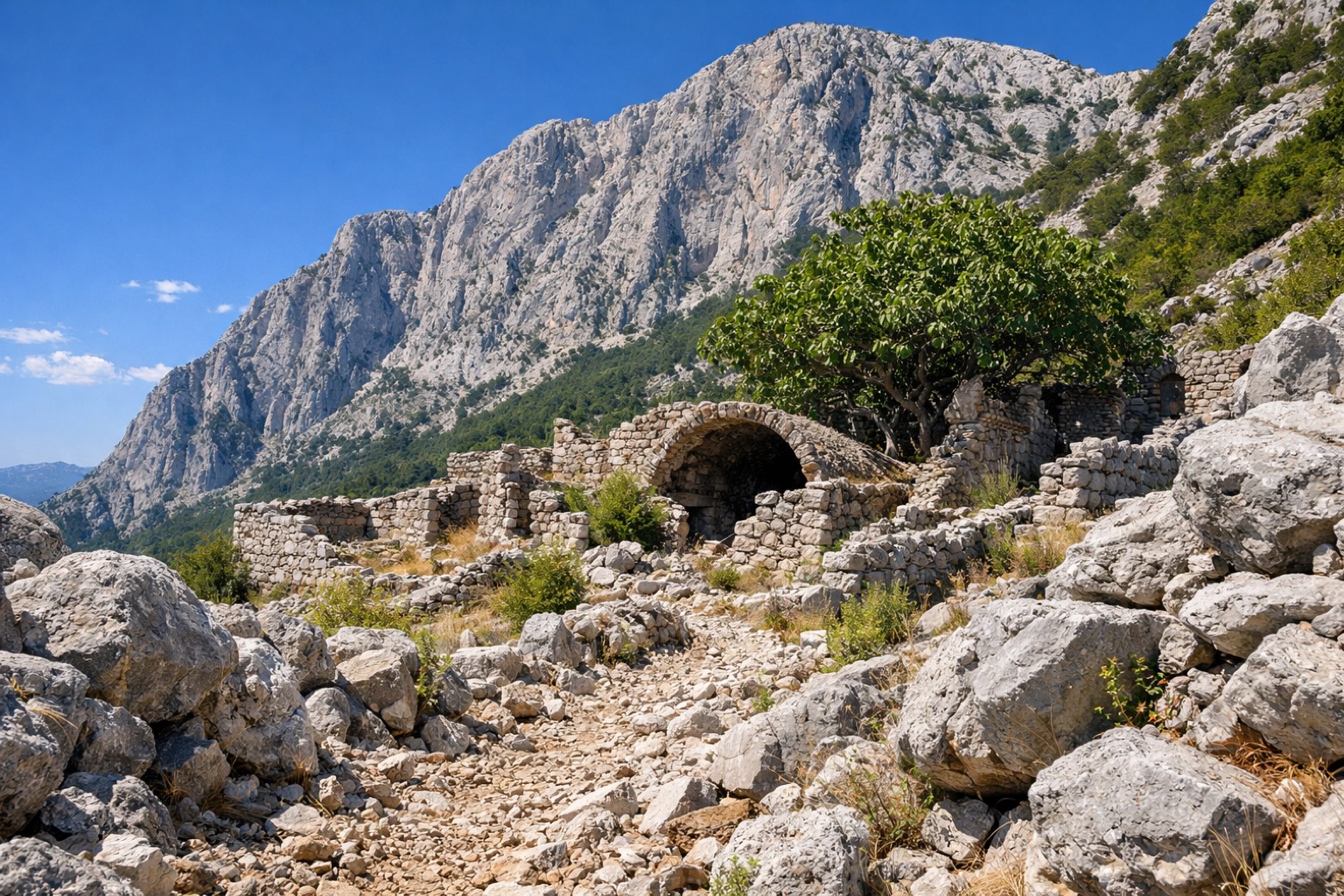 Stage 18
Seydikemer → Karaağaç
challenging- Distance
- 22 km
- Ascent
- 1074 m
- Descent
- 1105 m
 Stage 19
Karaağaç → Ölüdeniz Mahallesi
challenging- Distance
- 22 km
- Ascent
- 1309 m
- Descent
- 1021 m
Points of interest
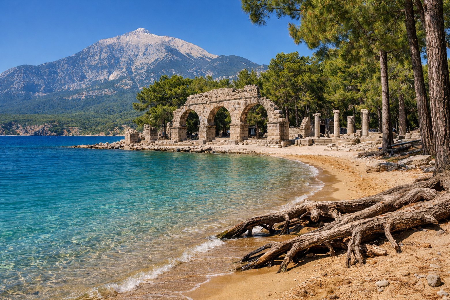
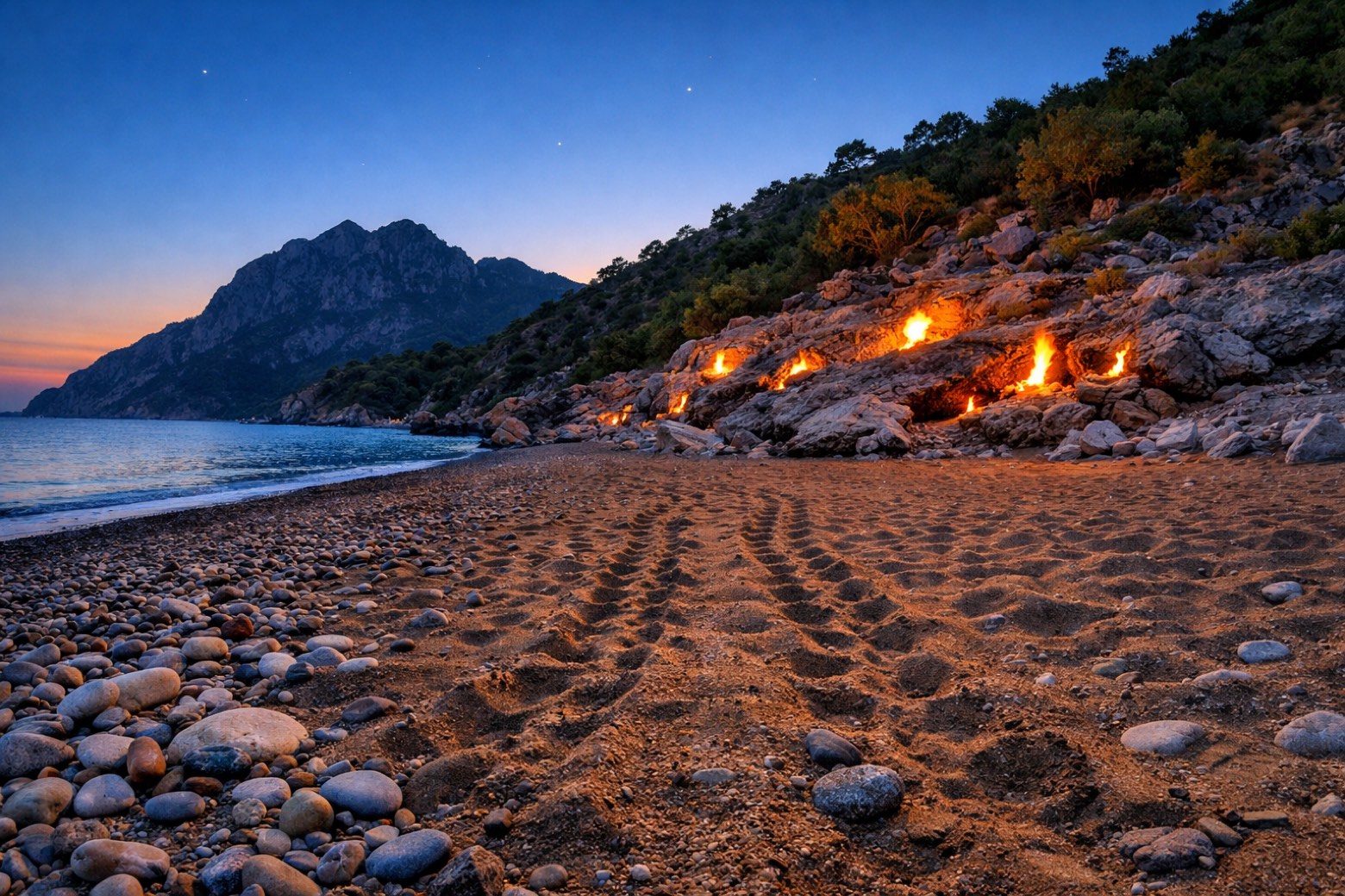
- Olympos
Ruins of a Lycian city in a valley running to the sea, one of the six main cities of the Lycian League, taken from Cilician pirates by Rome in 78 BC.
- Olympos Genoese Castle
Ruined fortress on a hill above the beach and the ancient city, one of the strongholds Venetians, Genoese and Rhodians raised along this coast in the Middle Ages.
- Mount Omurga
Natural landmark. Mount Omurga in Olympos, Turkey, is located alongside the Olympos ruins.
- Andriaca
Ancient port of Myra, with large Roman granaries of Hadrian, dated 119 AD, at the harbour entrance.
- Aperlai Roman Bridge
Roman-period bridge that still spans a ravine just west of the ancient city of Aperlai. Beyond it lies a large midden of crushed murex shells.
- Sekikara Tepesi
Peak, in Muğla Province, Turkey, at 621 m elevation.
- Eren Tepe
Peak, in Antalya Province, Turkey, at 523 m elevation.
- Kaputaş Beach
Beach in Turkey. Kaputaş Beach is a small beach between Kaş and Kalkan in southwestern Turkey.
Travel
Find connections for your cammino.
Search trainsMore walks in Türkiye
Plan your walking trip
All articles and guidesHow to choose a walking route: stages, days and ascent
How many days can you actually spend walking? Start there, then choose stages that leave you time to stop along the way.
How to plan a walking trip by train and bus
Two different stations, a last bus and a backpack. Fit the journeys out and home around the days you want to spend walking.
Take your walk with you: download Appy
Lycian Way. Explore maps, stages and elevation in the app, and plan your train or bus journey.

