Kumluca → Kumluca
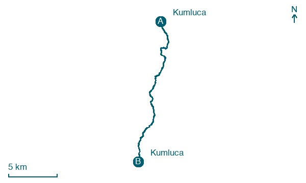
Walking distance 18.9 km
Download Appy for the stage map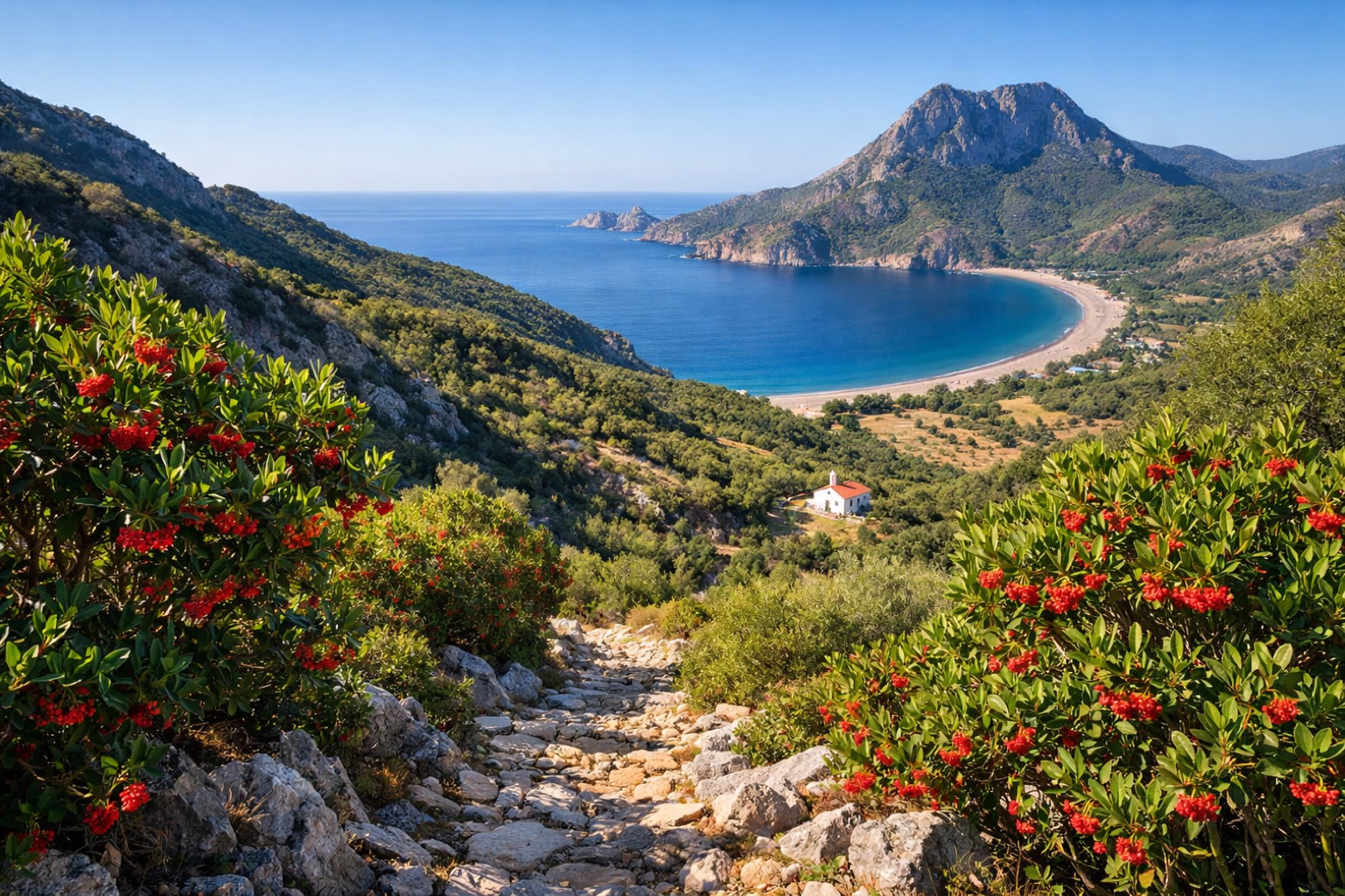
Stage information
- Ascent
- 988 m
- Descent
- 923 m
Difficulty: challenging
Walking the stage
Steep climbs over the Musa Dağı ridge bring the trail to the seaside hamlet of Adrasan and the quiet beach of Karaöz.
Before leaving Kumluca, locate Olympos Genoese Castle on the map. It is close to the starting point.
What to see on this stage
History and landmarks
Olympos Genoese Castle
Castle · 800 m from the trail as the crow flies
Ruined fortress on a hill above the beach and the ancient city, one of the strongholds Venetians, Genoese and Rhodians raised along this coast in the Middle Ages. Olympos was abandoned by the 15th century, and the Lycian Way crosses the ruins.
Olympos
900 m from the trail as the crow flies
Ruins of a Lycian city in a valley running to the sea, one of the six main cities of the Lycian League, taken from Cilician pirates by Rome in 78 BC. Nearby burned the eternal flame of the Chimera, methane seeping from the rock, seen across the region.
Nature and landscape
Musa Dağı
Summit · 900 m from the trail as the crow flies
Map · Kumluca → Kumluca
Take your walk with you: download Appy
Lycian Way: Kumluca → Kumluca. Explore maps, stages and elevation in the app, and plan your train or bus journey.

