Kaş → Kaş
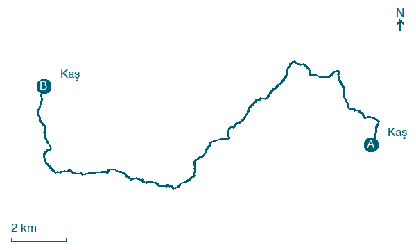
Walking distance 21.6 km
Download Appy for the stage map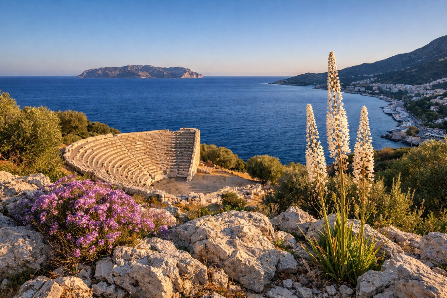
Stage information
- Ascent
- 656 m
- Descent
- 689 m
Difficulty: moderate
Walking the stage
A loop around the Çukurbağ peninsula past the Hellenistic theatre at Antiphellos, returning to Kaş through quiet fishing coves.
Before leaving Kaş, locate Aperlai Roman Bridge on the map. It is close to the starting point.
Look for these places on the stage map: Sahilkılınçlı, Sahil Barak, Sisla Mevki, and Bayındır.
What to see on this stage
History and landmarks
Aperlai Roman Bridge
Bridge · 500 m from the trail as the crow flies
Roman-period bridge that still spans a ravine just west of the ancient city of Aperlai. Beyond it lies a large midden of crushed murex shells.
Sebeda
< 100 m from the trail as the crow flies
Map · Kaş → Kaş
Take your walk with you: download Appy
Lycian Way: Kaş → Kaş. Explore maps, stages and elevation in the app, and plan your train or bus journey.

