Kumluca → Finike
Walking distance 35.5 km
Download Appy for the stage map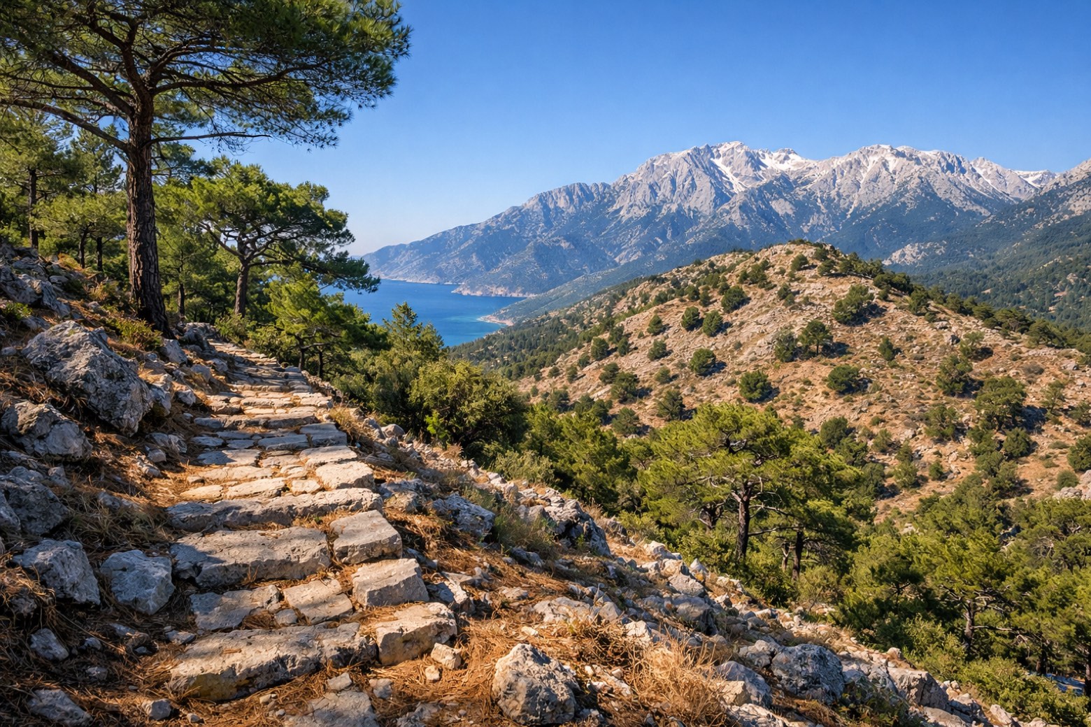
Stage information
- Ascent
- 1809 m
- Descent
- 69 m
Difficulty: moderate
Walking the stage
The route's biggest climb day. Nearly two thousand metres of ascent through pine forest and the pass below Boldağ before dropping into Finike's citrus orchards.
Look for these places on the stage map: Boldağ.
What to see on this stage
History and landmarks
Mustafa Kemal Atatürk Monument, Yehud
400 m from the trail as the crow flies
Nature and landscape
Gülmez Dağ
Summit · 900 m from the trail as the crow flies
Suluin Cave Finike
1.3 km from the trail as the crow flies
Map · Kumluca → Finike
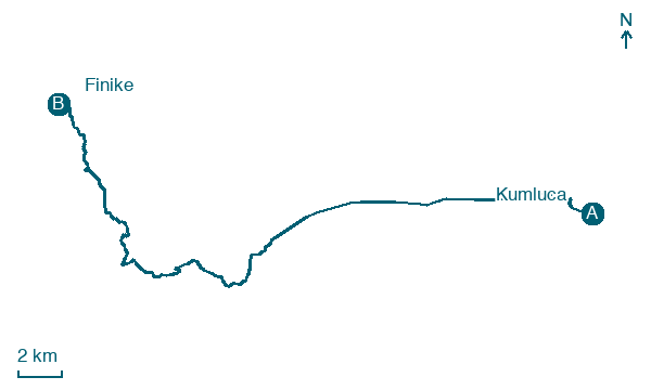
Take your walk with you: download Appy
Lycian Way: Kumluca → Finike. Explore maps, stages and elevation in the app, and plan your train or bus journey.

