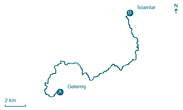
Gelemiş → İslamlar
Walking distance 24.2 km
Download Appy for the stage map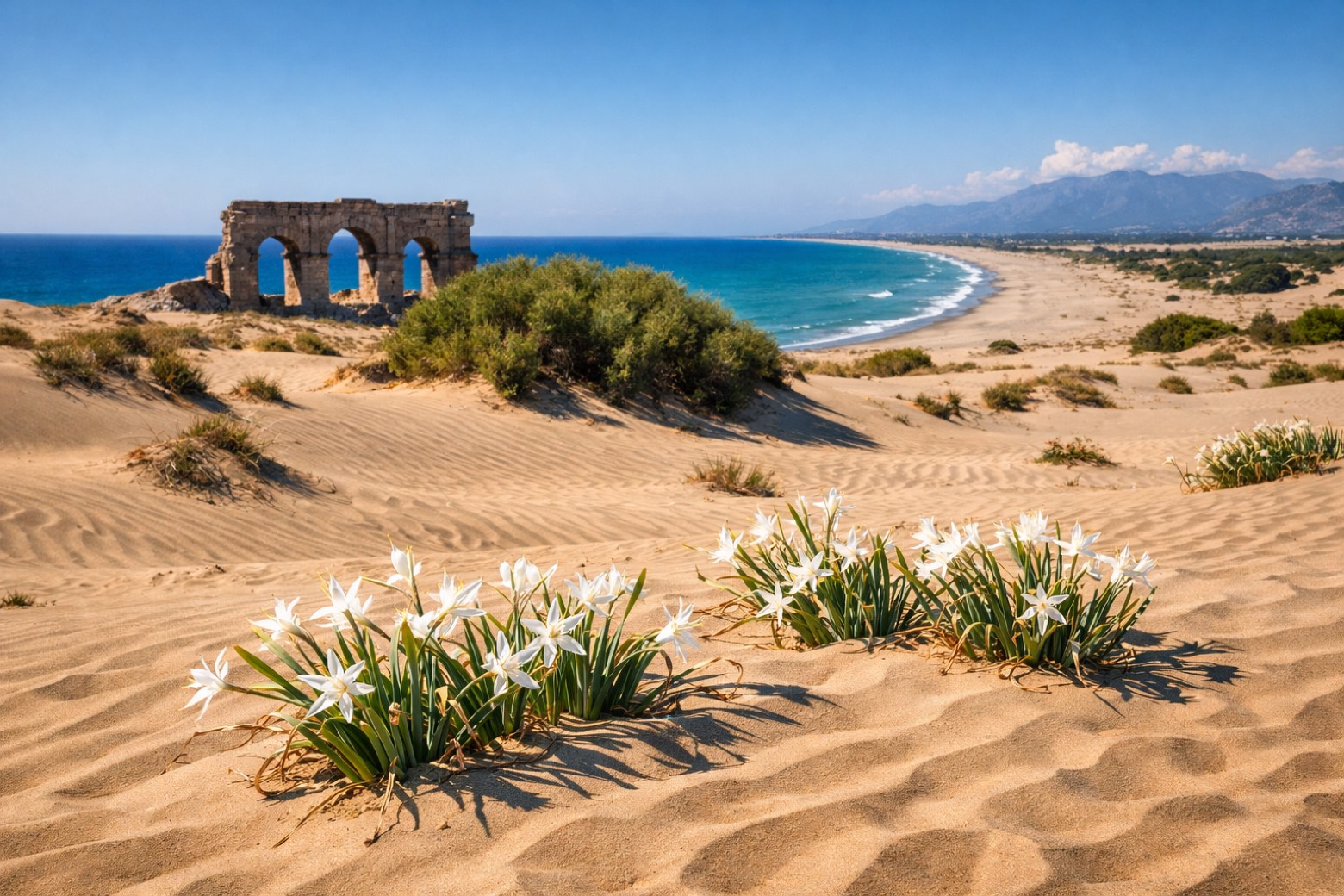
Stage information
- Ascent
- 770 m
- Descent
- 608 m
Difficulty: challenging
Walking the stage
Through Patara's golden dunes and back over wooded ridges via Üzümlü to the trout-stream village of İslamlar.
Look for these places on the stage map: Yeşilköy and Kalkan.
What to see on this stage
History and landmarks
Patara
Archaeological site · < 100 m from the trail as the crow flies
Theater of Patara
Archaeological site · < 100 m from the trail as the crow flies
Nature and landscape
Eren Tepe
Summit · 1.3 km from the trail as the crow flies
Peak, in Antalya Province, Turkey, at 523 m elevation.
Map · Gelemiş → İslamlar
Take your walk with you: download Appy
Lycian Way: Gelemiş → İslamlar. Explore maps, stages and elevation in the app, and plan your train or bus journey.

