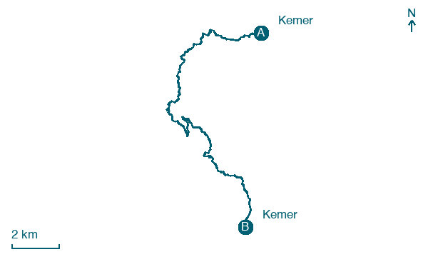
Kemer → Kemer
Walking distance 18.7 km
Download Appy for the stage map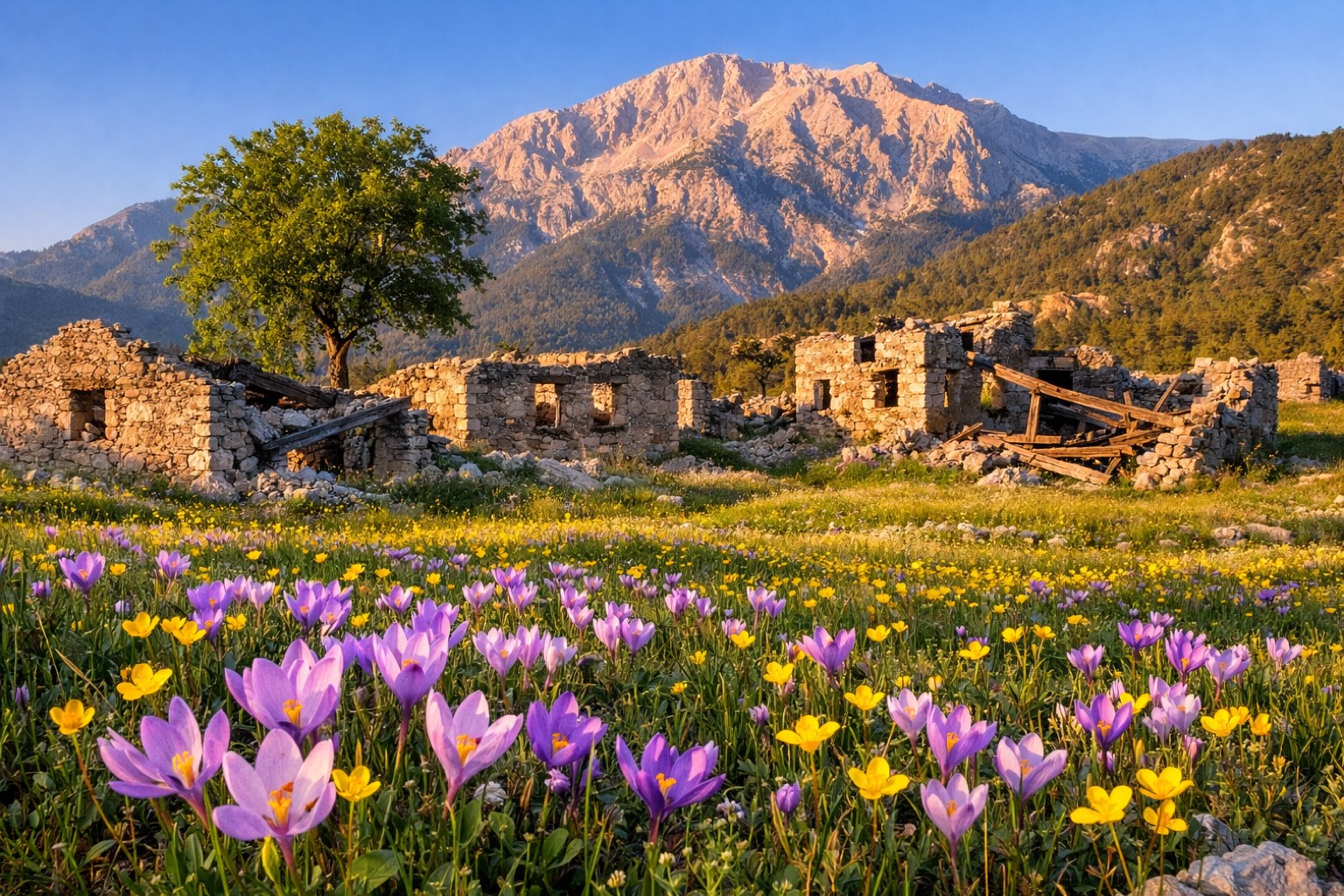
Stage information
- Ascent
- 713 m
- Descent
- 863 m
Difficulty: moderate
Walking the stage
Climbs to Göynük Yaylası high pasture and the abandoned Ottoman village of Ovacık before circling back down to Kemer.
Look for these places on the stage map: Göynük Yaylası and Ovacık.
What to see on this stage
History and landmarks
Marmara
Archaeological site · 1.6 km from the trail as the crow flies
Roman Bridge of Ovacık
Bridge · 600 m from the trail as the crow flies
Map · Kemer → Kemer
Take your walk with you: download Appy
Lycian Way: Kemer → Kemer. Explore maps, stages and elevation in the app, and plan your train or bus journey.

