Gürses → Kaş
Walking distance 22.3 km
Download Appy for the stage map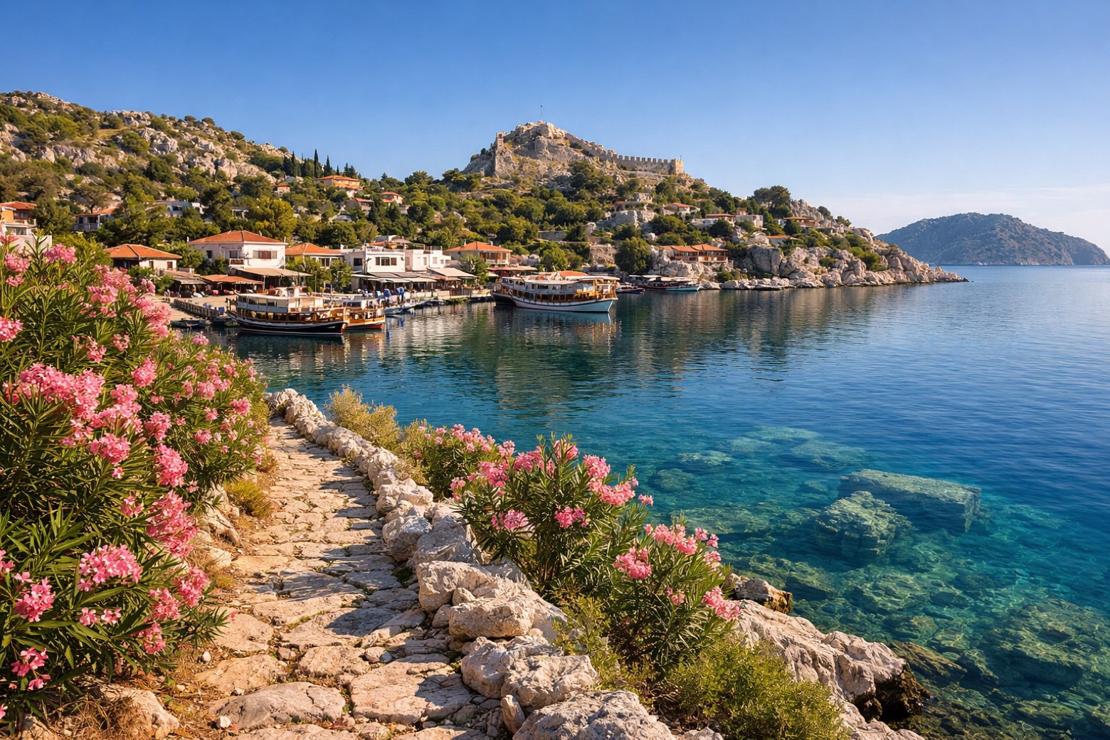
Stage information
- Ascent
- 375 m
- Descent
- 330 m
Difficulty: moderate
Walking the stage
Along Kekova's sheltered bay past the village of Kaleüçağız with its Crusader castle and the underwater ruins of Simena, ending in Kaş harbour.
On arrival in Kaş, consider a stop at Aperlai Roman Bridge, close to the finish.
Look for these places on the stage map: Kapaklı and Kaleüçağız.
What to see on this stage
History and landmarks
Aperlai Roman Bridge
Bridge · 300 m from the trail as the crow flies
Roman-period bridge that still spans a ravine just west of the ancient city of Aperlai. Beyond it lies a large midden of crushed murex shells.
Andriaca
Archaeological site · 1.7 km from the trail as the crow flies
Ancient port of Myra, with large Roman granaries of Hadrian, dated 119 AD, at the harbour entrance. Ruins of churches and a synagogue remain, a museum stands on site, and Saint Paul is thought to have boarded a ship for Italy here.
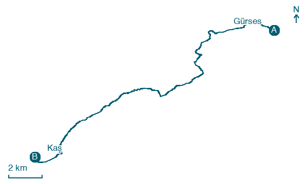
Map · Gürses → Kaş
Take your walk with you: download Appy
Lycian Way: Gürses → Kaş. Explore maps, stages and elevation in the app, and plan your train or bus journey.

