Cammino di Sant'Efisio
Sardegna, Italy
Italy · Cagliari, Italy → Nora, Italy
Distance
75 km
Stages
5
Difficulty
moderate
Best months
Mar-Jun, Sep-Nov
Cammino di Sant'Efisio · Stages and distances
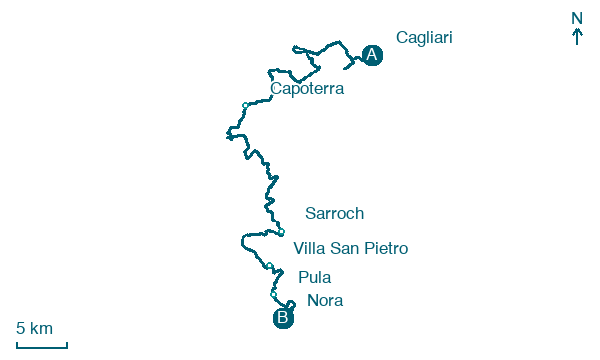
Walking distances for Appy’s stages (5)
| Stage | km |
|---|---|
| 1. Cagliari → Capoterra | 29.3 |
| 2. Capoterra → Sarroch | 24.9 |
| 3. Sarroch → Villa San Pietro | 10.1 |
| 4. Villa San Pietro → Pula | 5.2 |
| 5. Pula → Nora | 5.6 |
| Total | 75.1 |
About
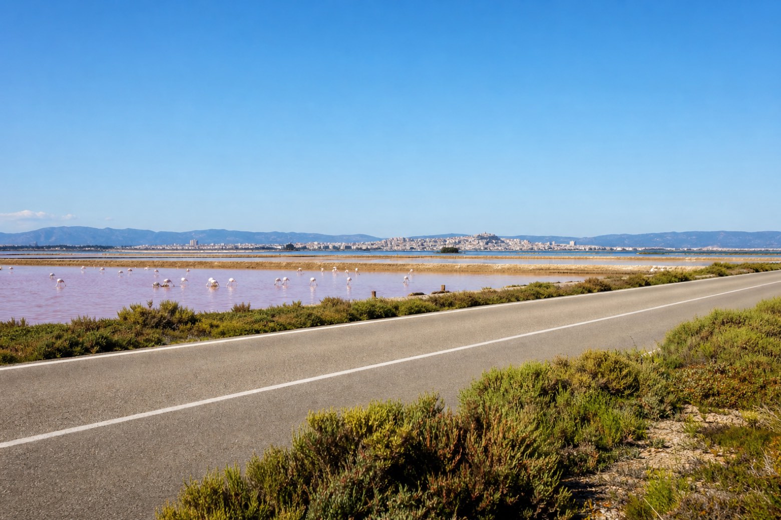
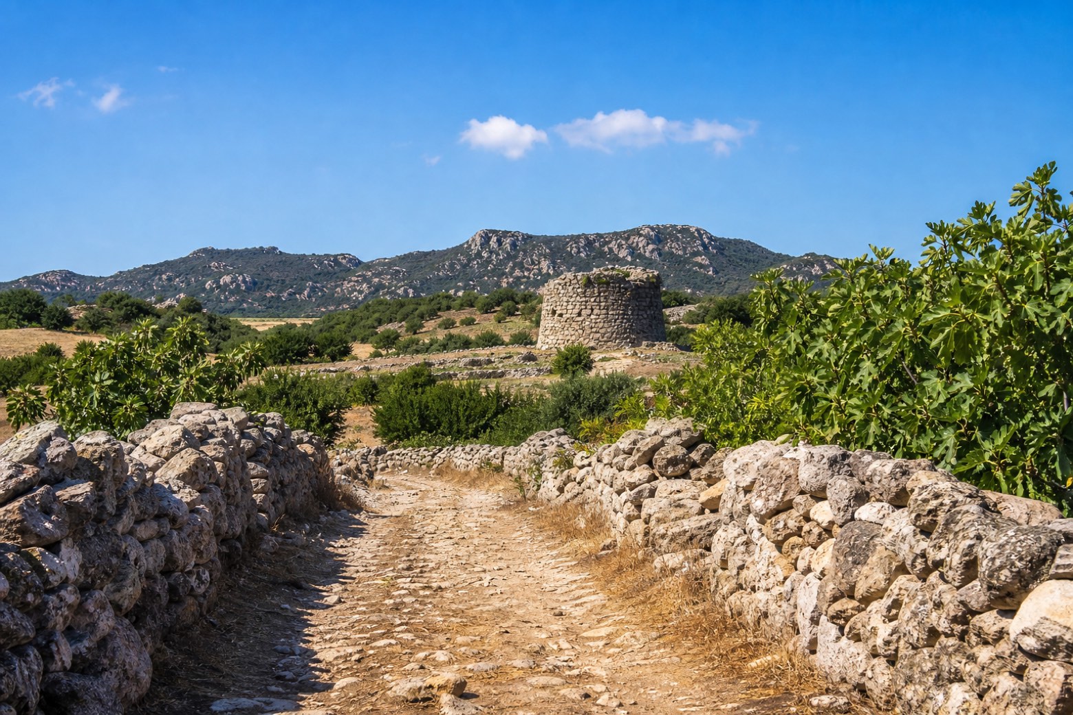
The Cammino di Sant'Efisio follows the saint's own procession south from Cagliari to Nora, the coastal town where he was martyred in 303 AD. Over five days the walk crosses the salt pans of Santa Gilla, the hills above Sarroch and the nuragic ruins of Antigori before reaching the small church on Nora's beach. The Region currently lists the line as not walkable (non percorribile) while it is checked, so confirm conditions locally before you set out.
Stages
5 stages
- Stage 1
Cagliari → Capoterra
moderate- Distance
- 29 km
- Ascent
- 46 m
- Descent
- 37 m
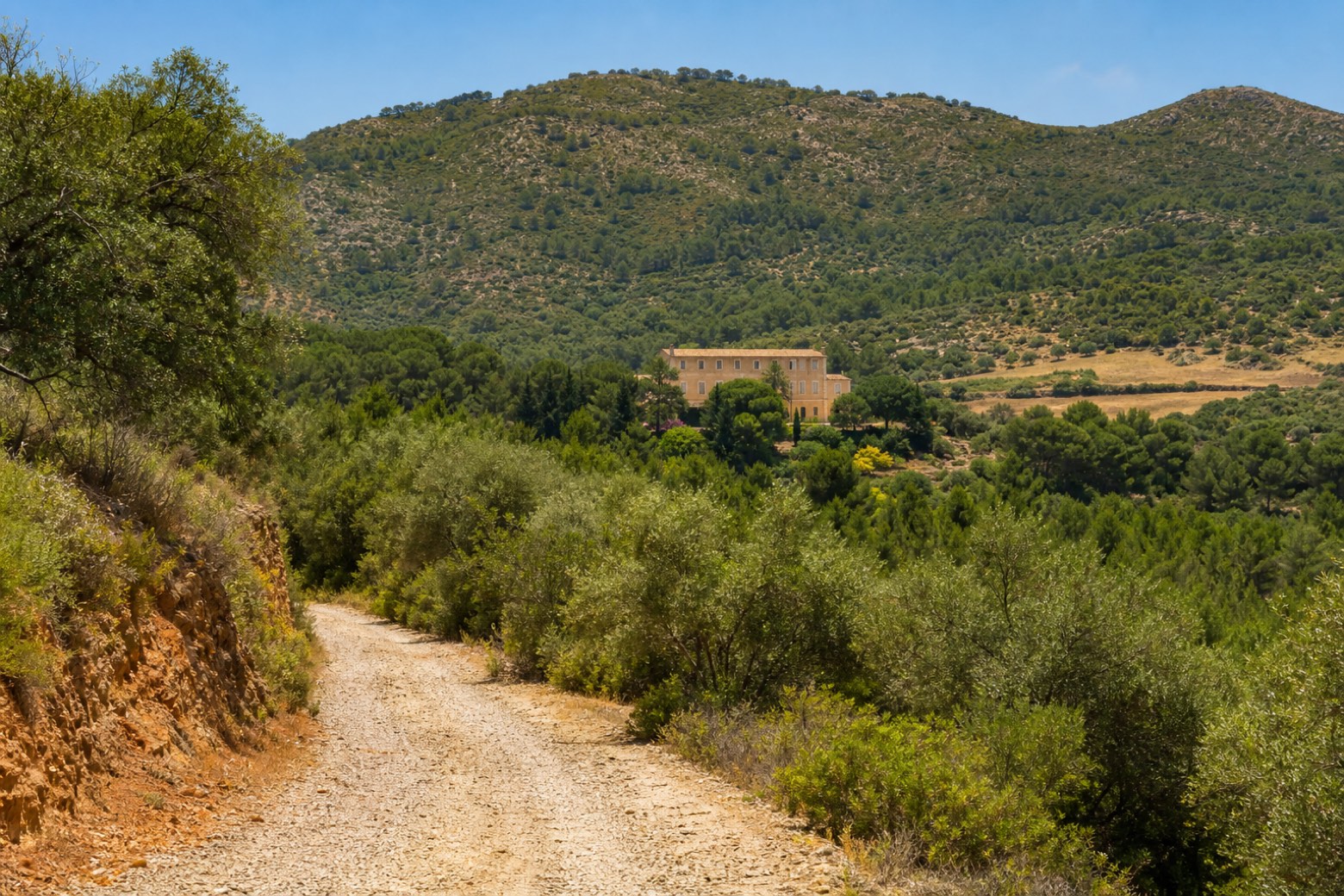 Stage 2
Capoterra → Sarroch
moderate- Distance
- 25 km
- Ascent
- 419 m
- Descent
- 441 m
 Stage 3
- Distance
- 10 km
- Ascent
- 45 m
- Descent
- 38 m
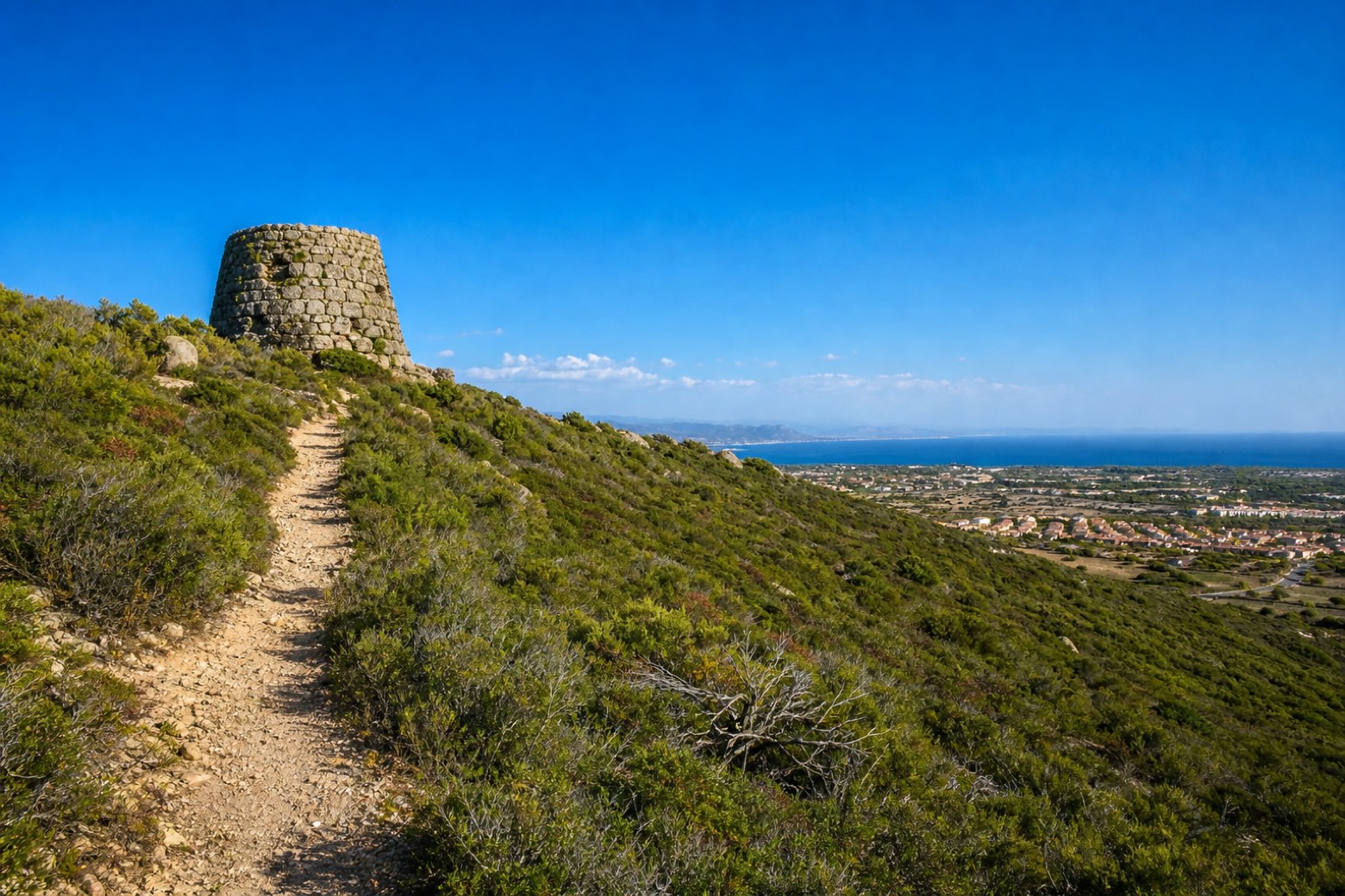 Stage 4
- Distance
- 5 km
- Ascent
- 49 m
- Descent
- 64 m
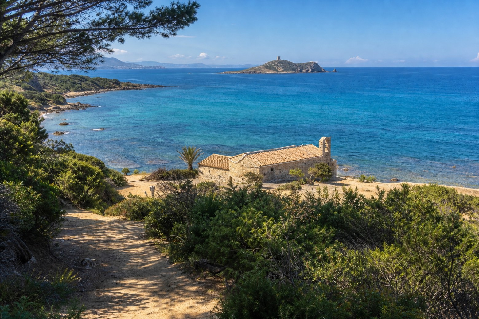 Stage 5
Pula → Nora
easy- Distance
- 6 km
- Ascent
- 23 m
- Descent
- 17 m
Travel
Find connections for your cammino.
Search trainsMore walks in Italy
Plan your walking trip
All articles and guidesHow to choose a walking route: stages, days and ascent
How many days can you actually spend walking? Start there, then choose stages that leave you time to stop along the way.
How to plan a walking trip by train and bus
Two different stations, a last bus and a backpack. Fit the journeys out and home around the days you want to spend walking.
Take your walk with you: download Appy
Cammino di Sant'Efisio. Explore maps, stages and elevation in the app, and plan your train or bus journey.

