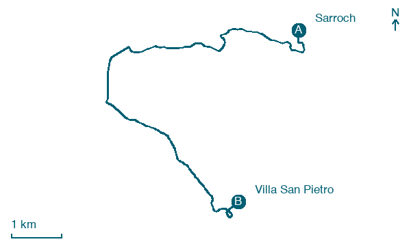
Sarroch → Villa San Pietro
Walking distance 10.1 km
Download Appy for the stage map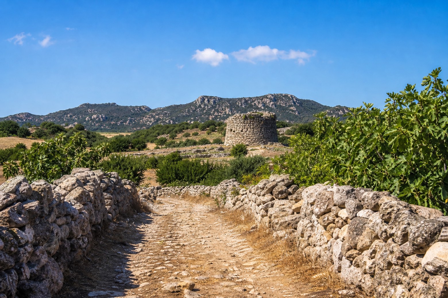
Stage information
- Ascent
- 45 m
- Descent
- 38 m
Difficulty: easy
Walking the stage
A shorter stage walked entirely on foot, past the chapel of San Giorgio and the Tombe dei Giganti of Perda de Accuzzai and Lilloni, ancient burial monuments in the Parco Fluviale. The day reaches the church of San Pietro and the Nuraghe Mereu at Villa San Pietro, about 10 km from Sarroch.
On arrival in Villa San Pietro, consider a stop at Town Hall, close to the finish.
Look for these places on the stage map: San Giorgio and Santa Barbara.
What to see on this stage
History and landmarks
Town Hall
Palace · < 100 m from the trail as the crow flies
Located near the civic center, the building, estimated to be 19 x 12 m, is characterized by a compact shape, with a regular rectangular plan and a four-sloped pavilion roof.
Map · Sarroch → Villa San Pietro
Take your walk with you: download Appy
Cammino di Sant'Efisio: Sarroch → Villa San Pietro. Explore maps, stages and elevation in the app, and plan your train or bus journey.

