Capoterra → Sarroch
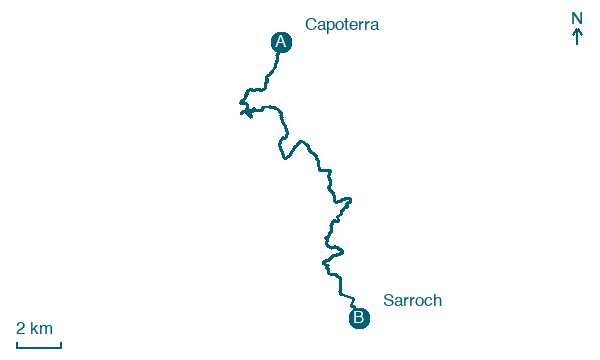
Walking distance 24.9 km
Download Appy for the stage map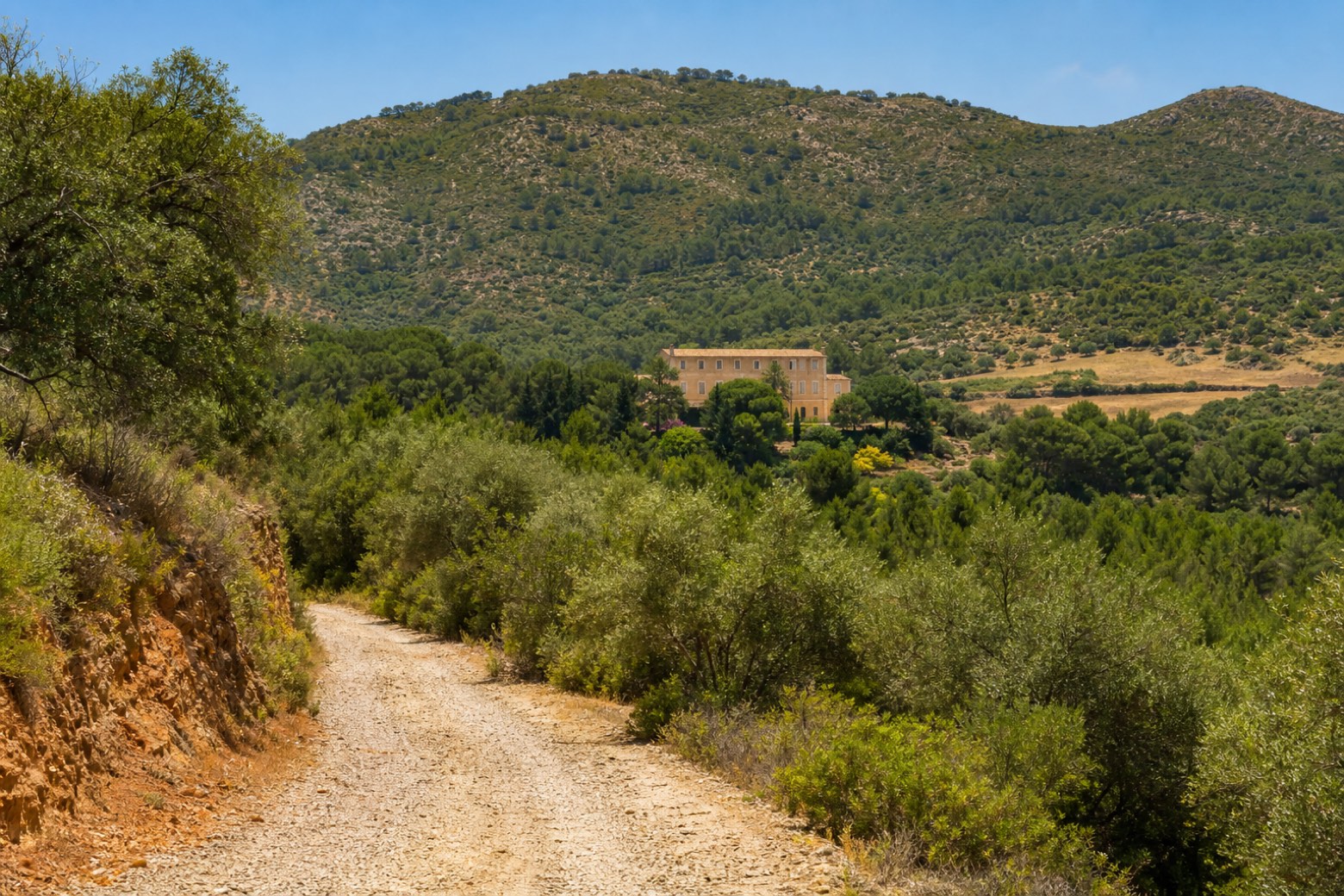
Stage information
- Ascent
- 419 m
- Descent
- 441 m
Difficulty: moderate
Walking the stage
The route climbs into the hills of Poggio dei Pini, past the church of San Girolamo and places linked to Santa Barbara, before reaching the historic Villa d'Orri, where the saint's procession still stops. Close by lie the Antigori nuragic ruins, where Mycenaean pottery was found. This is the longest day, about 25 km and 9 hours, ending at the parish church of Santa Vittoria in Sarroch.
Before leaving Capoterra, locate Palazzo on the map. It is close to the starting point.
Look for these places on the stage map: Sa Perda su Gatu, Cooperativa Cento, Torre degli Ulivi settore B, and Forada Is Olias.
What to see on this stage
History and landmarks
Palazzo
Palace · < 100 m from the trail as the crow flies
building with an internal courtyard articulated in multiple construction bodies.
Villa d'Orri
Palace · 300 m from the trail as the crow flies
Nature and landscape
Ginepro coccolone di Baccu Tinghinu, Capoterra
Monumental tree · 900 m from the trail as the crow flies
Italy’s monumental tree register identifies this specimen as Juniperus oxycedrus subsp. macrocarpa (S. et S.) Ball. It records a height of 11 m and a trunk circumference of 350 cm.
Map · Capoterra → Sarroch
Take your walk with you: download Appy
Cammino di Sant'Efisio: Capoterra → Sarroch. Explore maps, stages and elevation in the app, and plan your train or bus journey.

