Pula → Nora
Walking distance 5.6 km
Download Appy for the stage map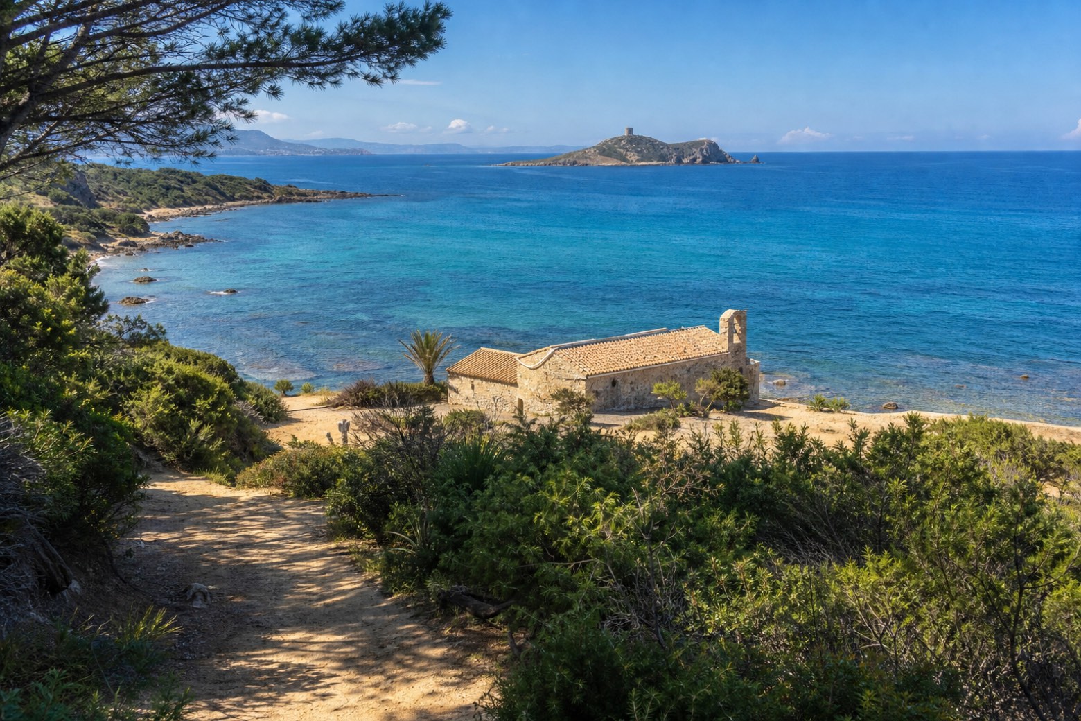
Stage information
- Ascent
- 23 m
- Descent
- 17 m
Difficulty: easy
Walking the stage
Through Pula's old centre, where streets have no pavements and a summer ZTL limits traffic, the walk enters the protected coast of Capo di Pula before reaching the Nora lagoon and the ruins of ancient Nora. It ends at the small church of Sant'Efisio on the beach where tradition places his martyrdom, about 6 km from Pula.
Before leaving Pula, locate Villa Serra on the map. It is close to the starting point. On arrival in Nora, consider a stop at Chiesa di S. Efisio di Nora, close to the finish.
What to see on this stage
History and landmarks
Chiesa di S. Efisio di Nora
Church · < 100 m from the trail as the crow flies
The church has three naves, barrel-vaulted, with the central nave being larger, divided by thick semicircular arches that rest on stout square pillars.
Villa Serra
Palace · 200 m from the trail as the crow flies
A large garden with exotic plants surrounds the building, which is structured over two floors. The main floor is directly connected to the garden by a double-flight staircase.
Nature and landscape
Olivastro di Viale Nora, Pula
Monumental tree · 400 m from the trail as the crow flies
Italy’s monumental tree register identifies this specimen as Olea europaea subsp. oleaster (Hoffmanns. & Link). It records a height of 6 m and a trunk circumference of 440 cm.
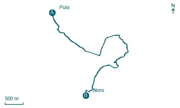
Map · Pula → Nora
Take your walk with you: download Appy
Cammino di Sant'Efisio: Pula → Nora. Explore maps, stages and elevation in the app, and plan your train or bus journey.

