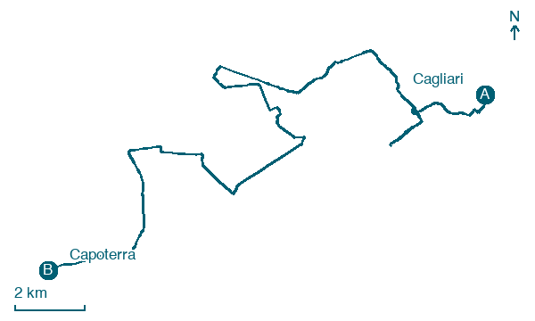
Cagliari → Capoterra
Walking distance 29.3 km
Download Appy for the stage map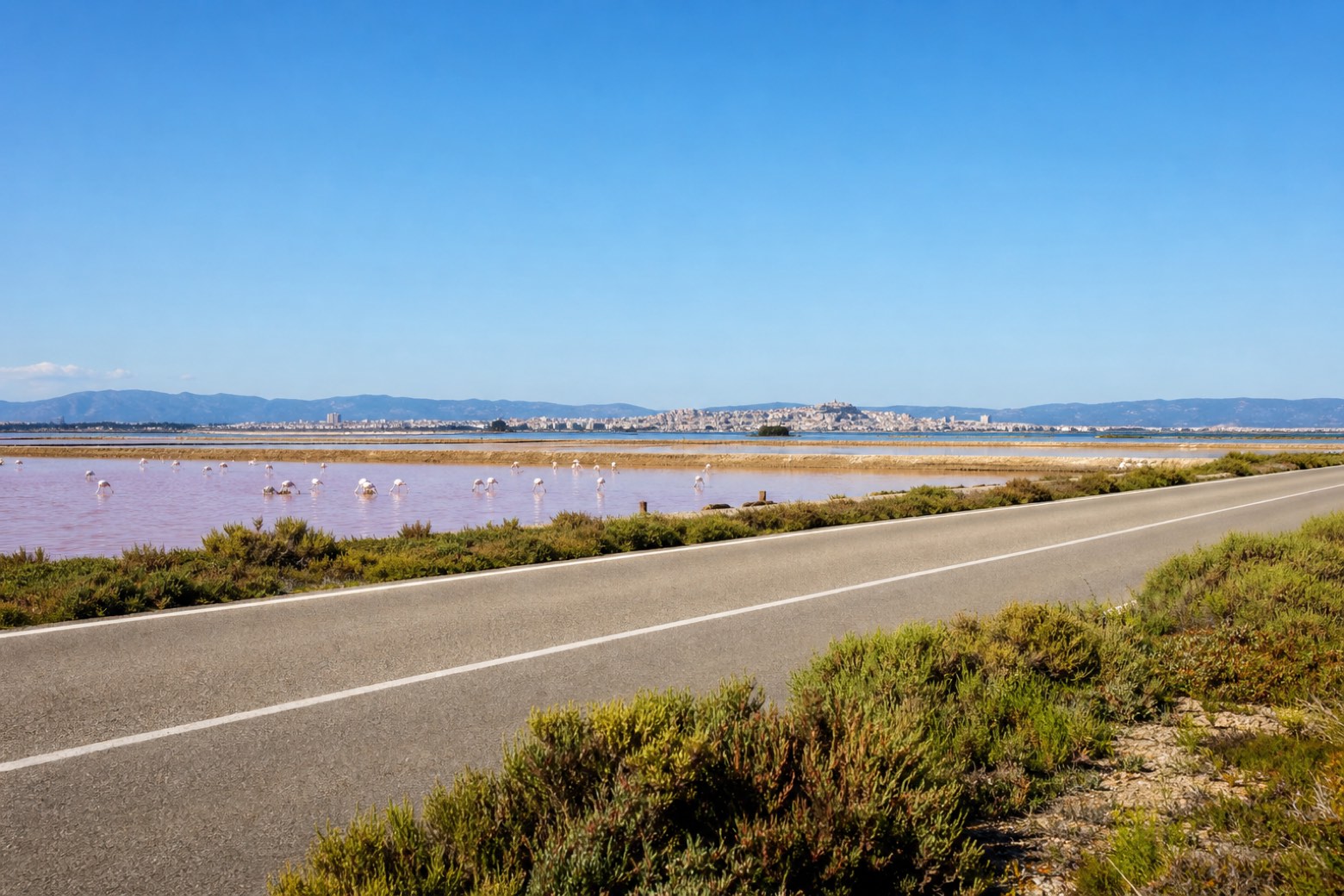
Stage information
- Ascent
- 46 m
- Descent
- 37 m
Difficulty: moderate
Walking the stage
From the church of Sant'Efisio in Cagliari's Stampace quarter, a bus shuttle covers the first stretch of city roads to Giorgino before the walk turns onto the Saline Conti Vecchi, a working salt pan on the Santa Gilla lagoon where flamingos often gather. The day ends near the parish church of Sant'Efisio in Capoterra, about 29 km and 8 hours 30 from the start.
Before leaving Cagliari, locate Palazzo Civico on the map. It is close to the starting point.
Look for these places on the stage map: Giorgino - Villaggio pescatori.
What to see on this stage
History and landmarks
Palazzina dell'Albergo Flora
Palace · < 100 m from the trail as the crow flies
irregularly shaped building with perimeter walls made of stone; floors made of concrete blocks; roof with a pitched structure
Palazzo Civico
Palace · < 100 m from the trail as the crow flies
The town hall, built in a Catalan Gothic style with Liberty decoration in pale pietraforte stone. Its first stone was laid in 1899 before King Umberto I, it opened in 1907, and the 1943 bombing took until 1953 to repair.
Nature and landscape
Fico magnolioide di Piazza Giacomo Matteotti, Cagliari
Monumental tree · < 100 m from the trail as the crow flies
Italy’s monumental tree register identifies this specimen as Ficus macrophylla Desf. ex Pers. It records a height of 22.1 m and a trunk circumference of 1,200 cm.
Map · Cagliari → Capoterra
Take your walk with you: download Appy
Cammino di Sant'Efisio: Cagliari → Capoterra. Explore maps, stages and elevation in the app, and plan your train or bus journey.

