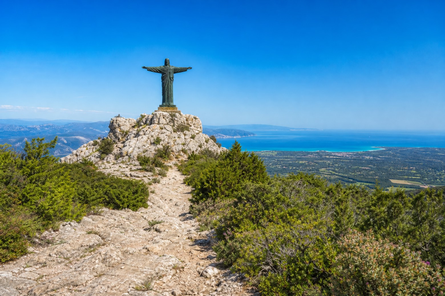
Cammino dei Beati
Sardegna, Italy
Italy · Galtellì, Italy → Orgosolo, Italy
Distance
89 km
Stages
5
Difficulty
moderate
Best months
Mar-Jun, Sep-Nov
Cammino dei Beati · Stages and distances
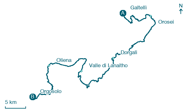
Walking distances for Appy’s stages (5)
| Stage | km |
|---|---|
| 1. Galtellì → Orosei | 15.1 |
| 2. Orosei → Dorgali | 20.4 |
| 3. Dorgali → Valle di Lanaitho | 21.7 |
| 4. Valle di Lanaitho → Oliena | 14.2 |
| 5. Oliena → Orgosolo | 17.2 |
| Total | 88.6 |
About
The Cammino dei Beati links the Golfo di Orosei coast with the Supramonte massif across Galtellì, Orosei, Dorgali, Oliena and Orgosolo. It follows the story of the Santissimo Crocifisso of Galtellì and three Sardinian beati: Maria Gabriella Sagheddu of Dorgali, Giovanni Antonio Solinas of Oliena and Antonia Mesina of Orgosolo. Launched in 2024, it has no signage yet and is not verified on the ground.
Stages
5 stages
- Stage 1
Galtellì → Orosei
moderate- Distance
- 15 km
- Ascent
- 686 m
- Descent
- 700 m
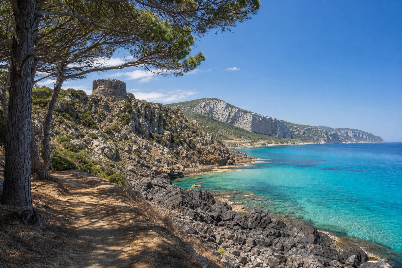 Stage 2
Orosei → Dorgali
moderate- Distance
- 20 km
- Ascent
- 592 m
- Descent
- 214 m
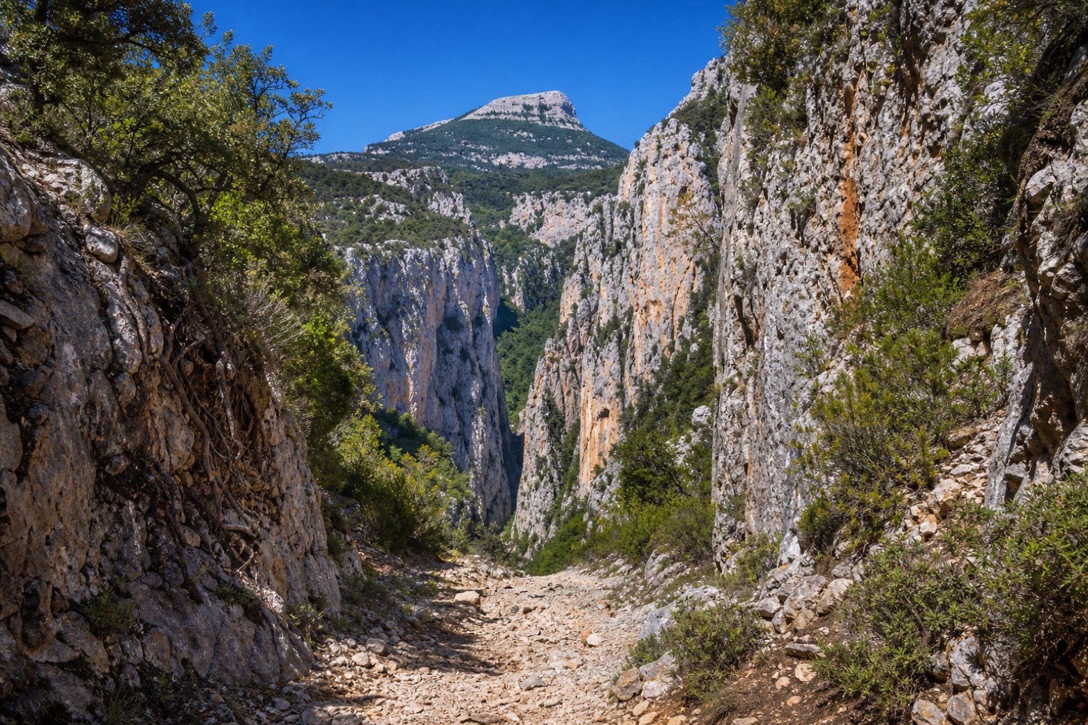 Stage 3
Dorgali → Valle di Lanaitho
moderate- Distance
- 22 km
- Ascent
- 333 m
- Descent
- 571 m
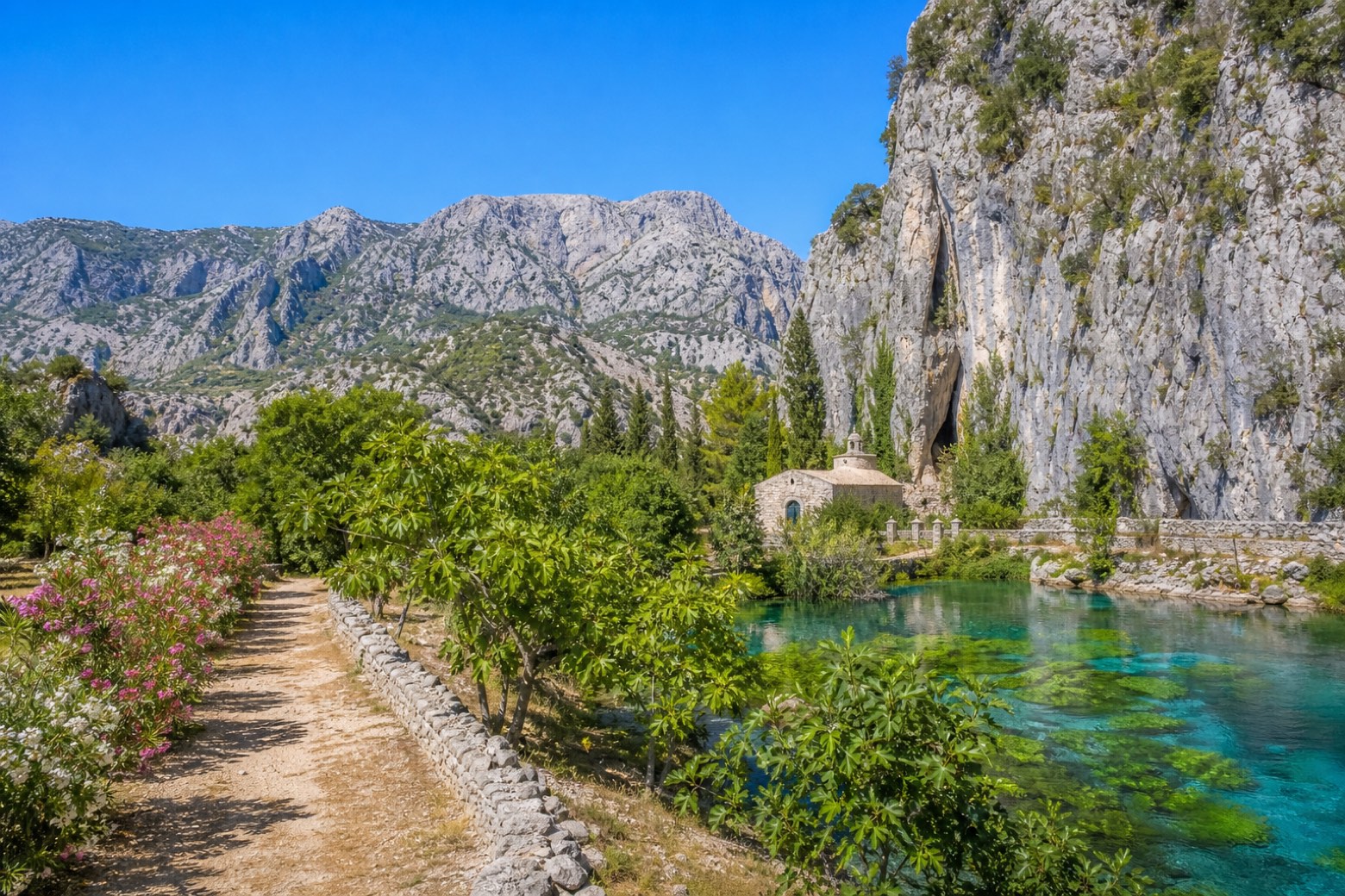 Stage 4
Valle di Lanaitho → Oliena
moderate- Distance
- 14 km
- Ascent
- 396 m
- Descent
- 165 m
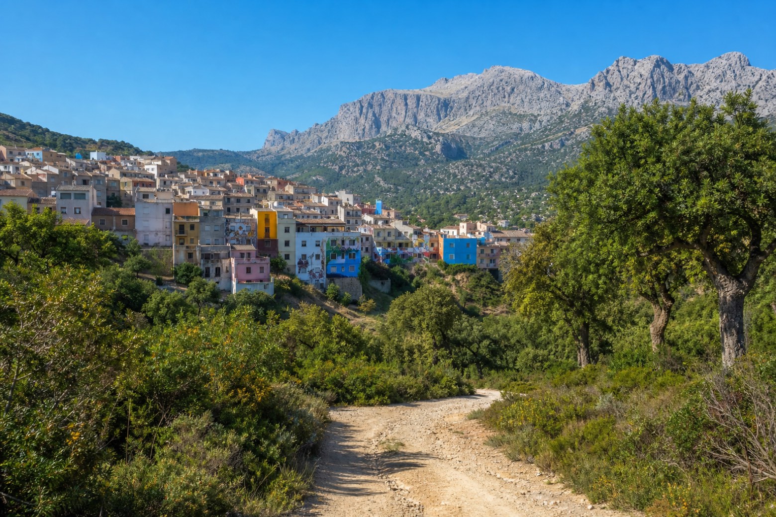 Stage 5
Oliena → Orgosolo
moderate- Distance
- 17 km
- Ascent
- 619 m
- Descent
- 396 m
Travel
Find connections for your cammino.
Search trainsMore walks in Italy
Plan your walking trip
All articles and guidesHow to choose a walking route: stages, days and ascent
How many days can you actually spend walking? Start there, then choose stages that leave you time to stop along the way.
How to plan a walking trip by train and bus
Two different stations, a last bus and a backpack. Fit the journeys out and home around the days you want to spend walking.
Take your walk with you: download Appy
Cammino dei Beati. Explore maps, stages and elevation in the app, and plan your train or bus journey.

