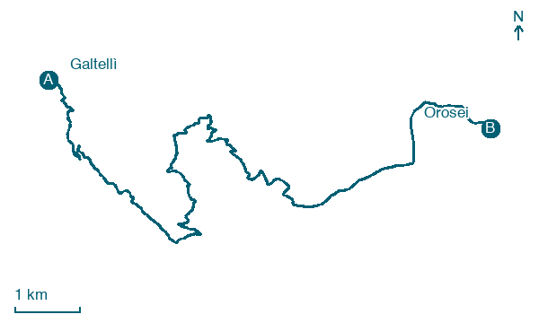
Galtellì → Orosei
Walking distance 15.1 km
Download Appy for the stage map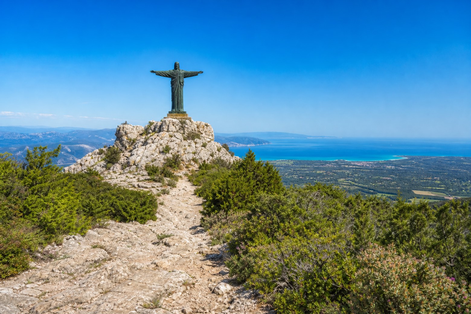
Stage information
- Ascent
- 686 m
- Descent
- 700 m
Difficulty: moderate
Walking the stage
From the chiesa del Santissimo Crocifisso in Galtellì, a rural lane gives way to a steep limestone climb over Monte Tuttavista, passing Sa Preta Istampata to the twelve metre bronze Christ on the summit, with the Golfo di Orosei spread out below. The path then descends through holm oak and olive groves past the Orosei marble quarries to the Santuario di Su Remediu.
On arrival in Orosei, consider a stop at Castello, close to the finish.
What to see on this stage
History and landmarks
Castello
Castle · 100 m from the trail as the crow flies
Castle. Castle, in Orosei, Italy, designated as Italian national heritage.
Don Giovanni Guiso Museum
Museum · 100 m from the trail as the crow flies
A museum of miniature theatres, opened in 2000 in the family palazzo that Don Nanni Guiso gave to his home town. It shows antique toy theatres from the eighteenth century on, with dioramas and drawings of the Roman School.
Nature and landscape
Monte Tuttavista
Summit · 200 m from the trail as the crow flies
Map · Galtellì → Orosei
Take your walk with you: download Appy
Cammino dei Beati: Galtellì → Orosei. Explore maps, stages and elevation in the app, and plan your train or bus journey.

