Valle di Lanaitho → Oliena
Walking distance 14.2 km
Download Appy for the stage map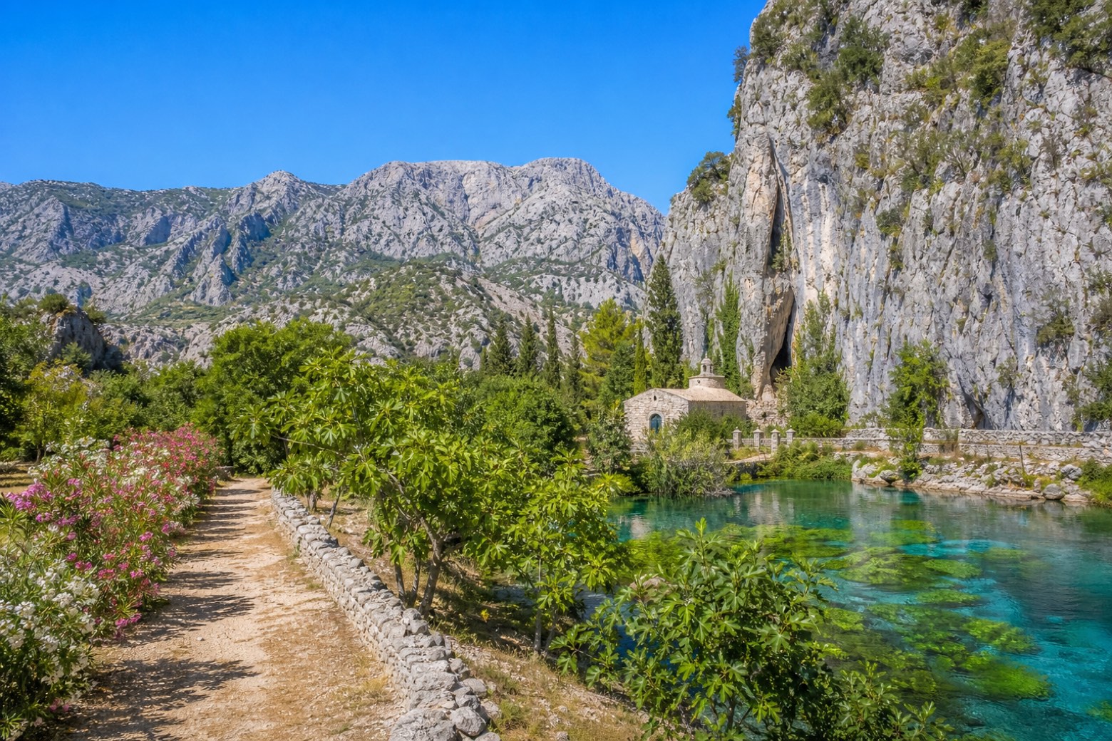
Stage information
- Ascent
- 396 m
- Descent
- 165 m
Difficulty: moderate
Walking the stage
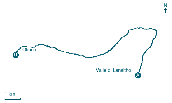
Valley-floor dirt roads lead north through the Lanaitho valley to the Cedrino gorge, with its columns of basalt, passing close to the Su Gologone karst spring. A woodland path then climbs under Monte Uddè to Preda 'e Litu, with views over Monserrato and the Cedrino vineyards, before the descent into Oliena.
On arrival in Oliena, consider a stop at Palazzo dei Laici, close to the finish.
What to see on this stage
History and landmarks
Convent of San Francesco da Paola
Abbey · < 100 m from the trail as the crow flies
The layout respects the austere and simple tradition of the Franciscans and features a hall with seven side chapels, concluded by a rectangular and elongated choir.
Palazzo dei Laici
Palace · 100 m from the trail as the crow flies
The current building, of moderate proportions and descending along Via Don Casula, in its original Jesuit part, has a regular rectangular plan with a few floors spatially defined in a simple and unified volume.
Nature and landscape
Su Gologone
200 m from the trail as the crow flies
Map · Valle di Lanaitho → Oliena
Take your walk with you: download Appy
Cammino dei Beati: Valle di Lanaitho → Oliena. Explore maps, stages and elevation in the app, and plan your train or bus journey.

