Oliena → Orgosolo
Walking distance 17.2 km
Download Appy for the stage map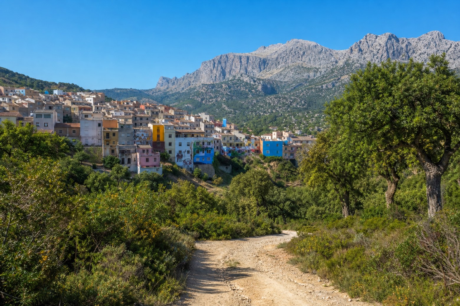
Stage information
- Ascent
- 619 m
- Descent
- 396 m
Difficulty: moderate
Walking the stage
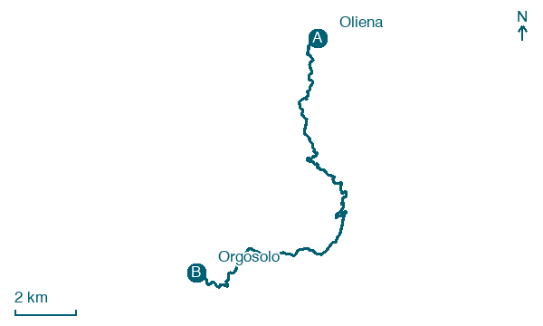
The path climbs through vegetable plots and vineyards under Monte Corrasi and follows the SP22 briefly, passing Neosula and a spring with a small Madonna shrine. Dirt roads continue through mountain woods and ford the river at Sorasi before reaching Orgosolo, where the walk ends among the town's painted murales.
Before leaving Oliena, locate Palazzo dei Laici on the map. It is close to the starting point.
What to see on this stage
History and landmarks
Palazzo dei Laici
Palace · < 100 m from the trail as the crow flies
The current building, of moderate proportions and descending along Via Don Casula, in its original Jesuit part, has a regular rectangular plan with a few floors spatially defined in a simple and unified volume.
Convent of San Francesco da Paola
Abbey · 200 m from the trail as the crow flies
The layout respects the austere and simple tradition of the Franciscans and features a hall with seven side chapels, concluded by a rectangular and elongated choir.
Map · Oliena → Orgosolo
Take your walk with you: download Appy
Cammino dei Beati: Oliena → Orgosolo. Explore maps, stages and elevation in the app, and plan your train or bus journey.

