Orosei → Dorgali
Walking distance 20.4 km
Download Appy for the stage map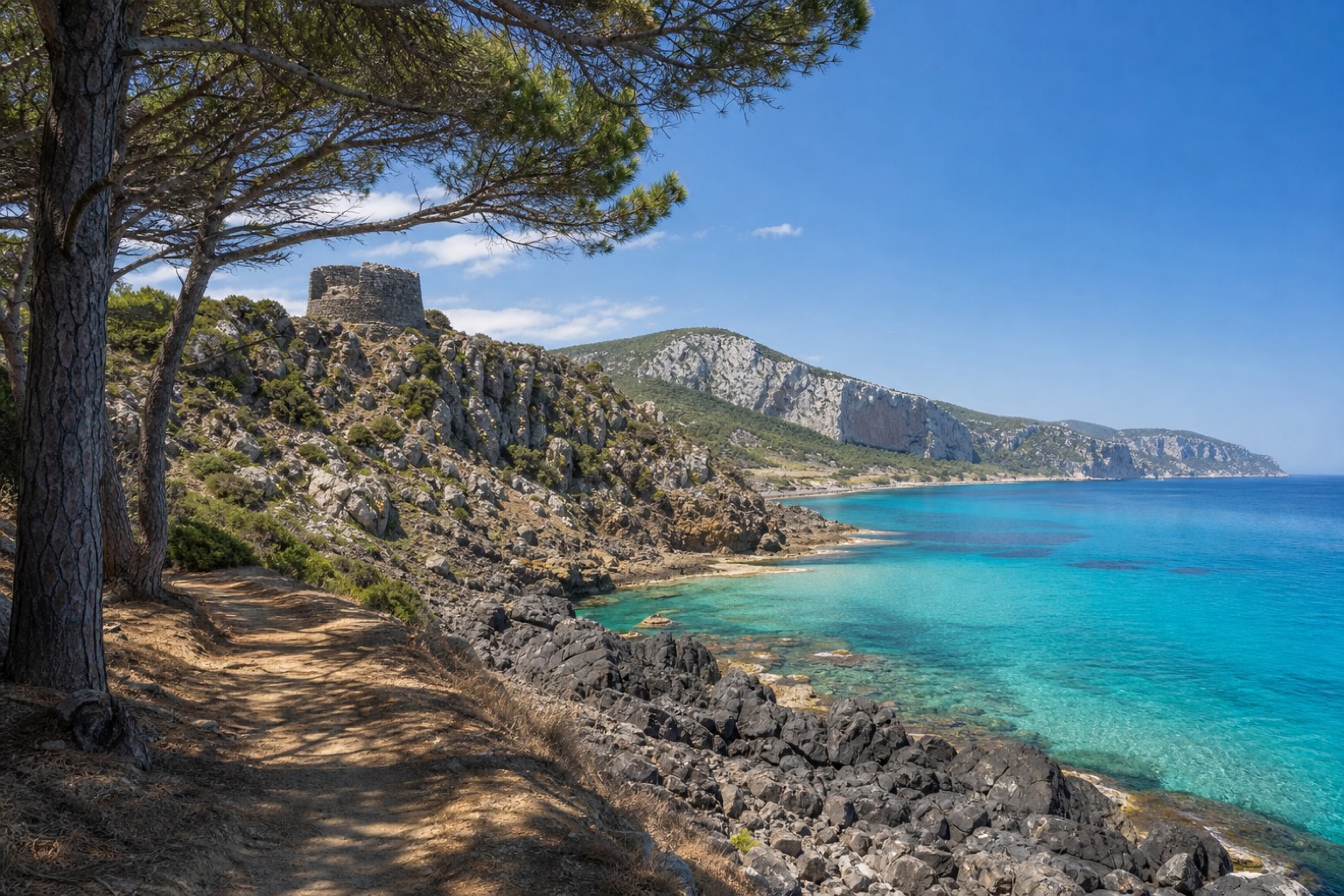
Stage information
- Ascent
- 592 m
- Descent
- 214 m
Difficulty: moderate
Walking the stage
A pine-shaded dirt track runs between the sea and the Su Petrosu and Su Barone lagoons, passing the nuraghe Gulunie on its basalt cliff and the beaches of Osalla and Cartoe. A long climb through holm oak woods follows, reaching the Monte Ruju shepherd hut and the Pirisché domus de janas before the descent into Dorgali.
Before leaving Orosei, locate Castello on the map. It is close to the starting point.
Look for these places on the stage map: Cala Gonone.
What to see on this stage
History and landmarks
Don Giovanni Guiso Museum
Museum · < 100 m from the trail as the crow flies
A museum of miniature theatres, opened in 2000 in the family palazzo that Don Nanni Guiso gave to his home town. It shows antique toy theatres from the eighteenth century on, with dioramas and drawings of the Roman School.
Castello
Castle · 100 m from the trail as the crow flies
Castle. Castle, in Orosei, Italy, designated as Italian national heritage.
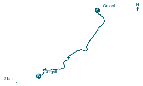
Map · Orosei → Dorgali
Take your walk with you: download Appy
Cammino dei Beati: Orosei → Dorgali. Explore maps, stages and elevation in the app, and plan your train or bus journey.

